UPDATE: APPLICATIONS CLOSED FOR 2023
35 ambassadors took part in our 2023 program.
What will you do?
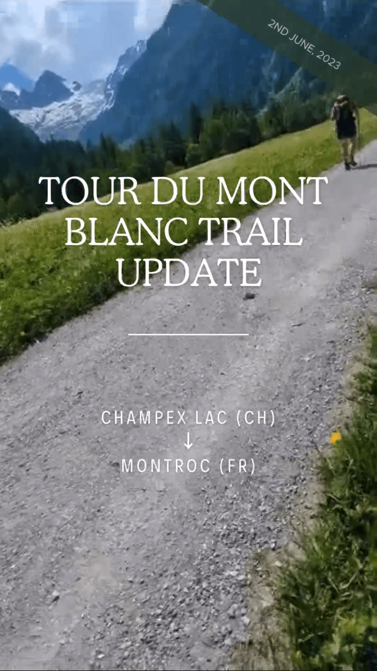
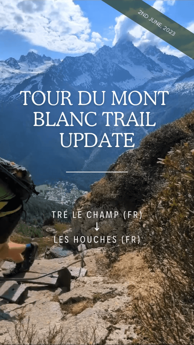
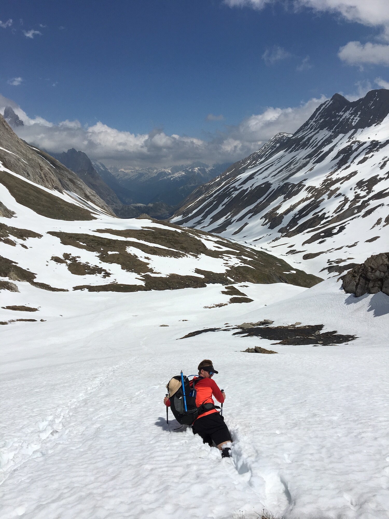
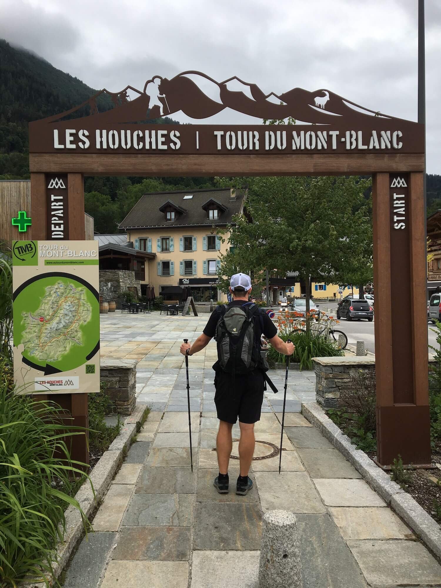
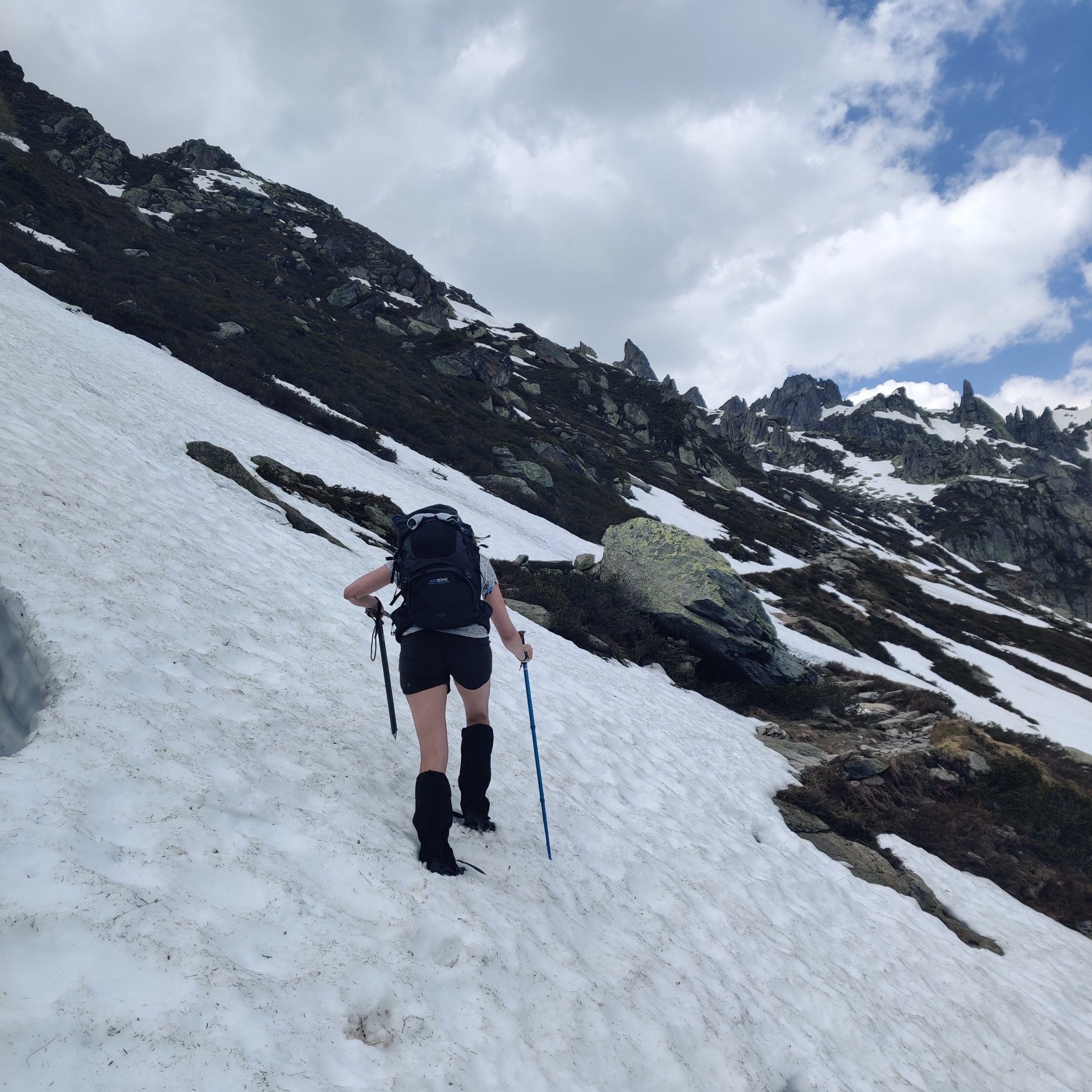
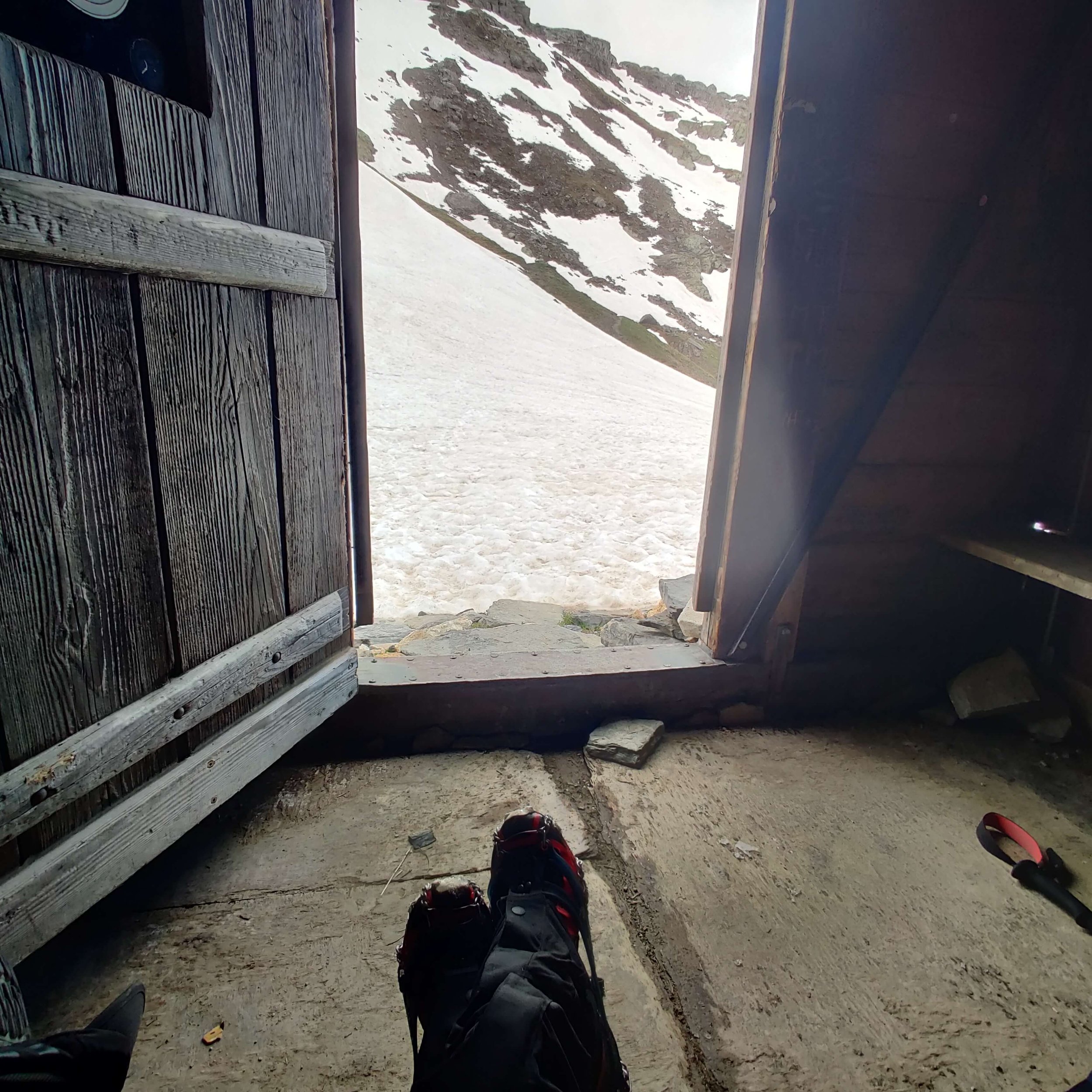
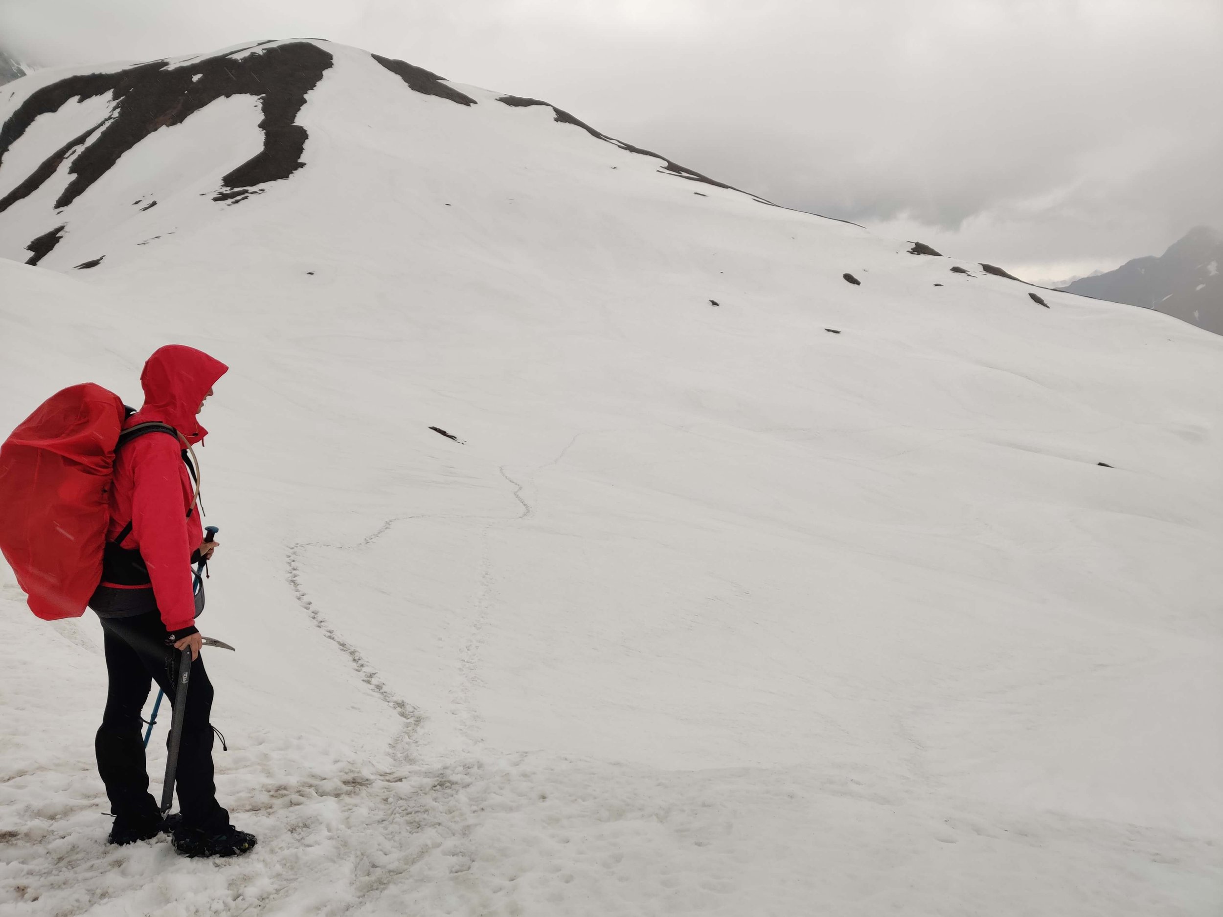
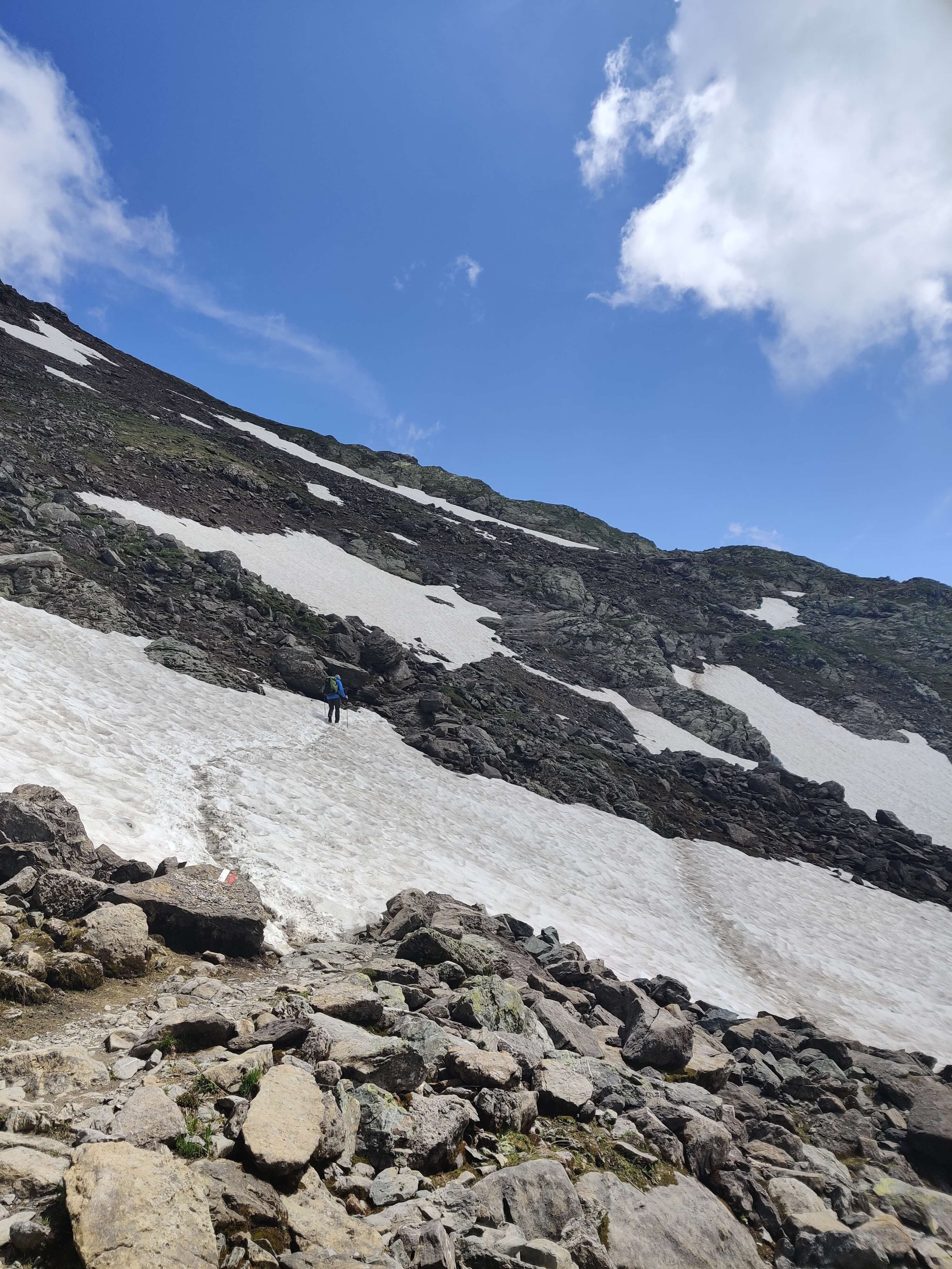
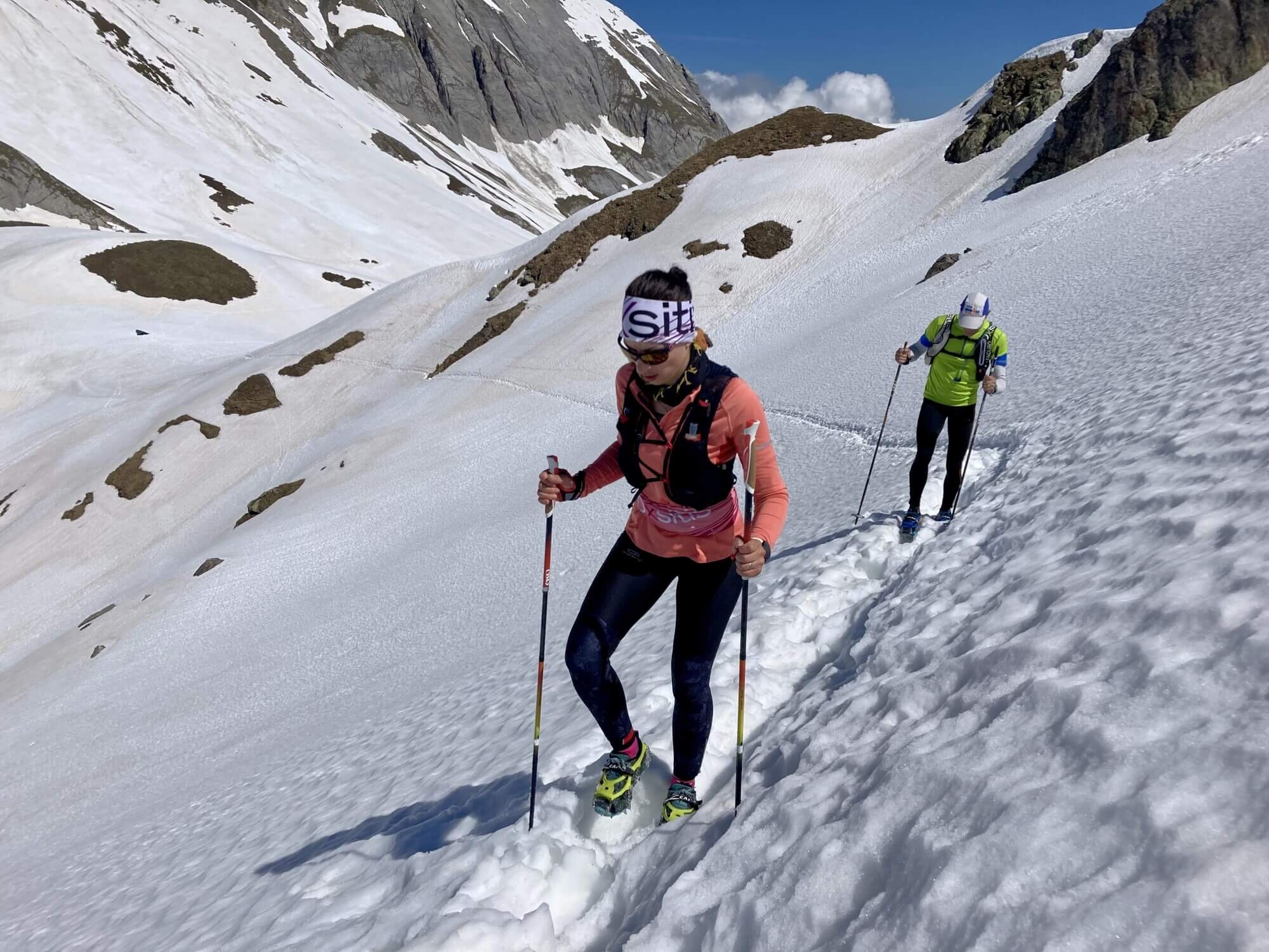
As a trail ambassador, you will provide “live from the trail” content about trail conditions, route updates, and memorable experiences. This content will be shared with The Hiking Club community to keep fellow hikers up-to-date, including:
In return, you’ll receive exclusive swag to rock on all your hiking (and non-hiking!) adventures!
Who are we looking for?
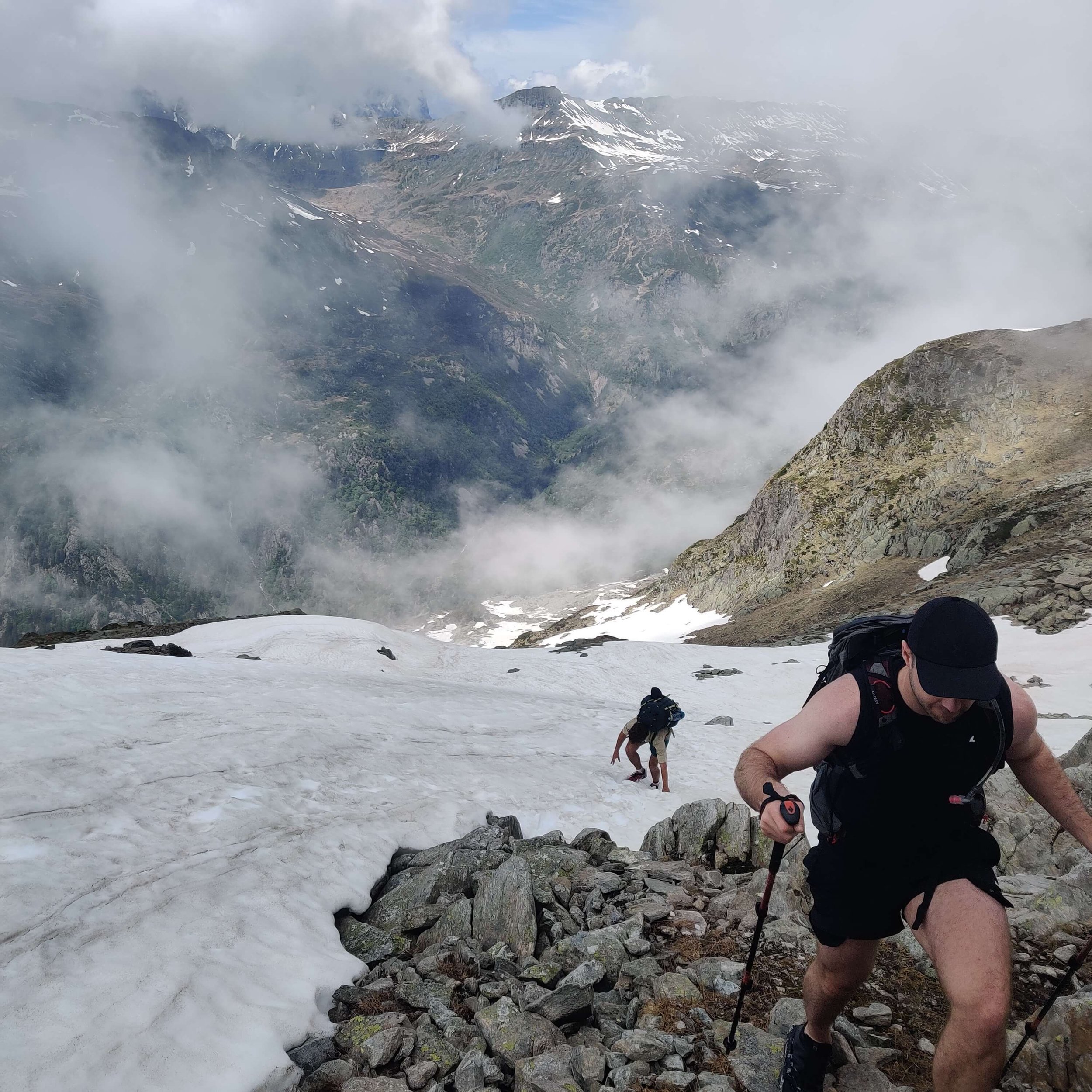
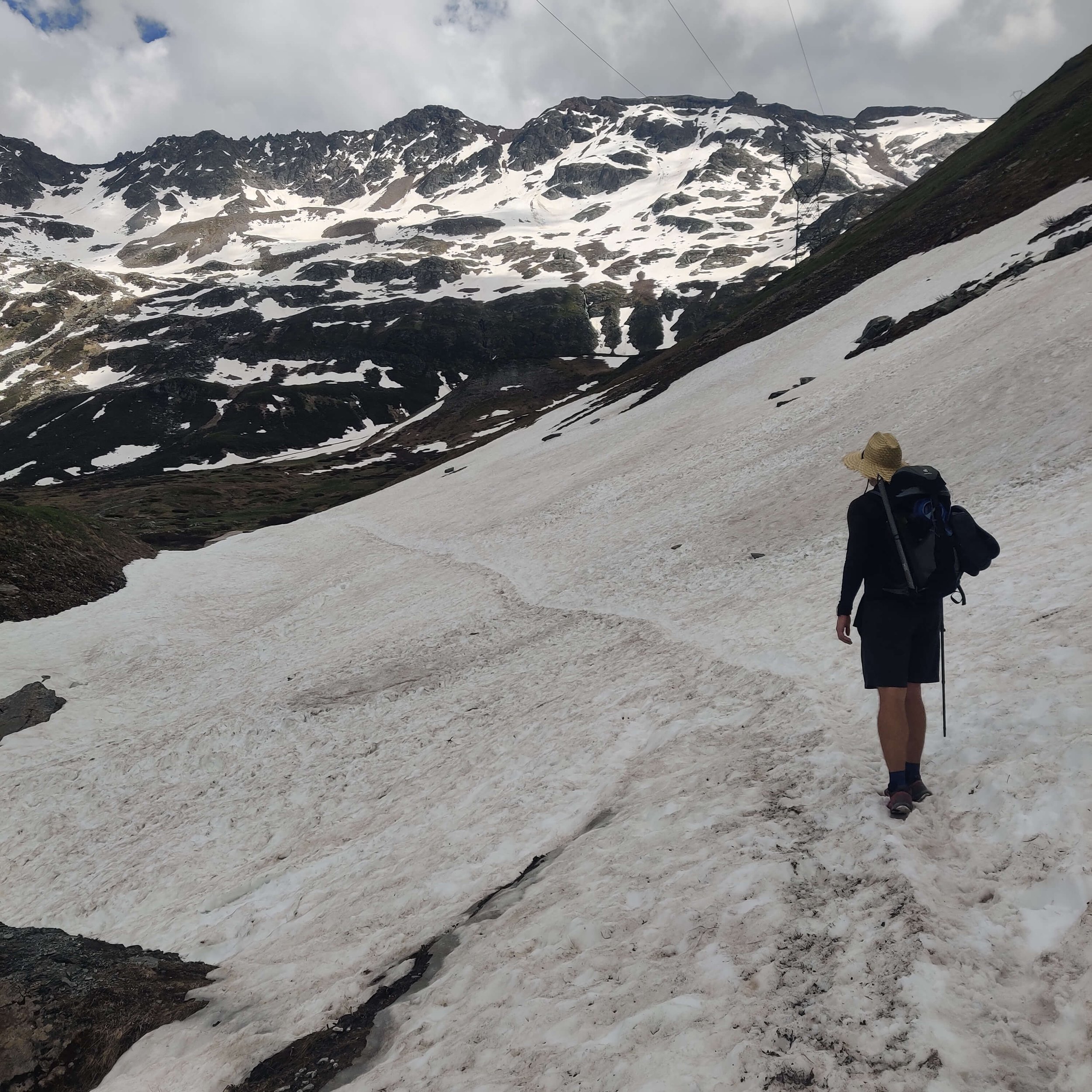
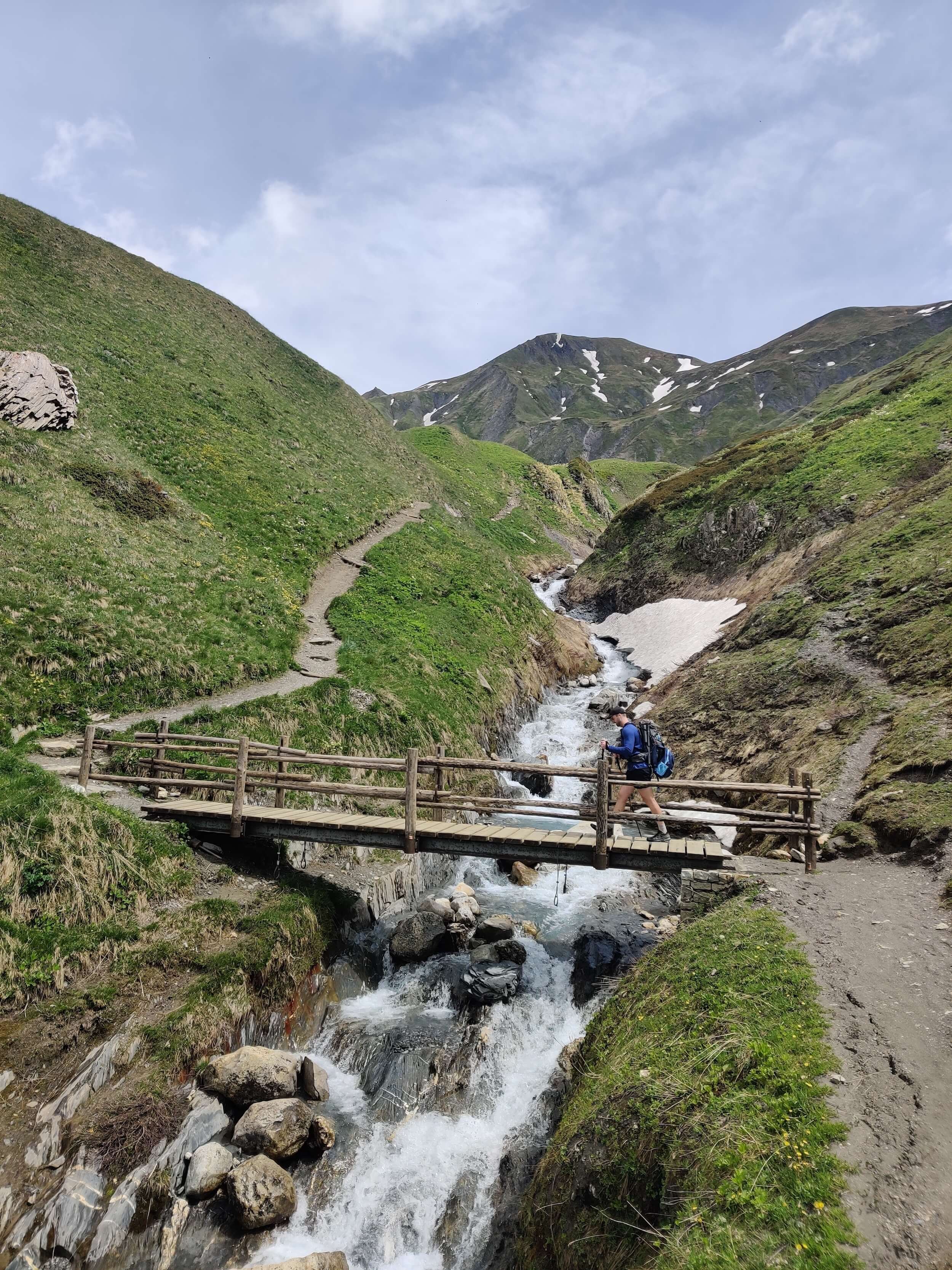
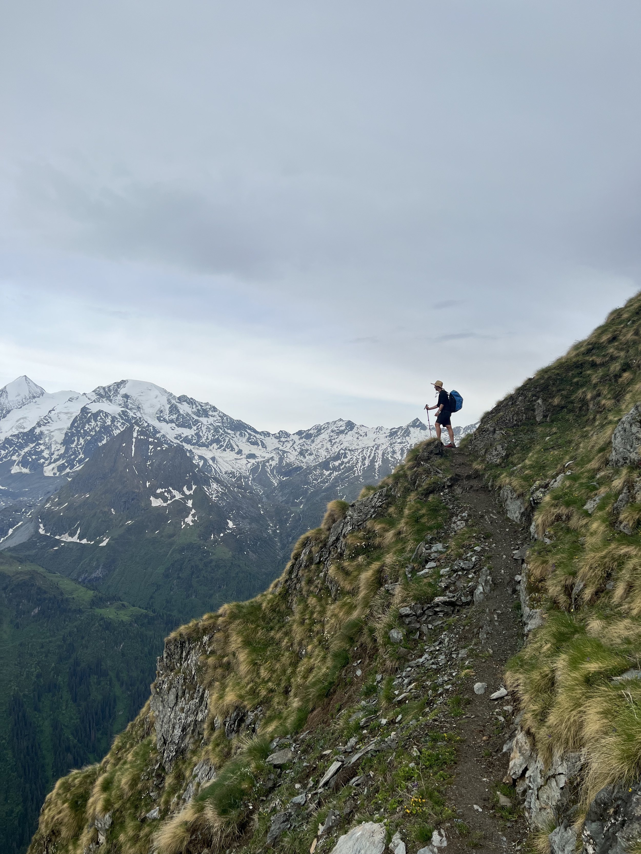
Hikers who are completing one of the below trails during June and July 2023;
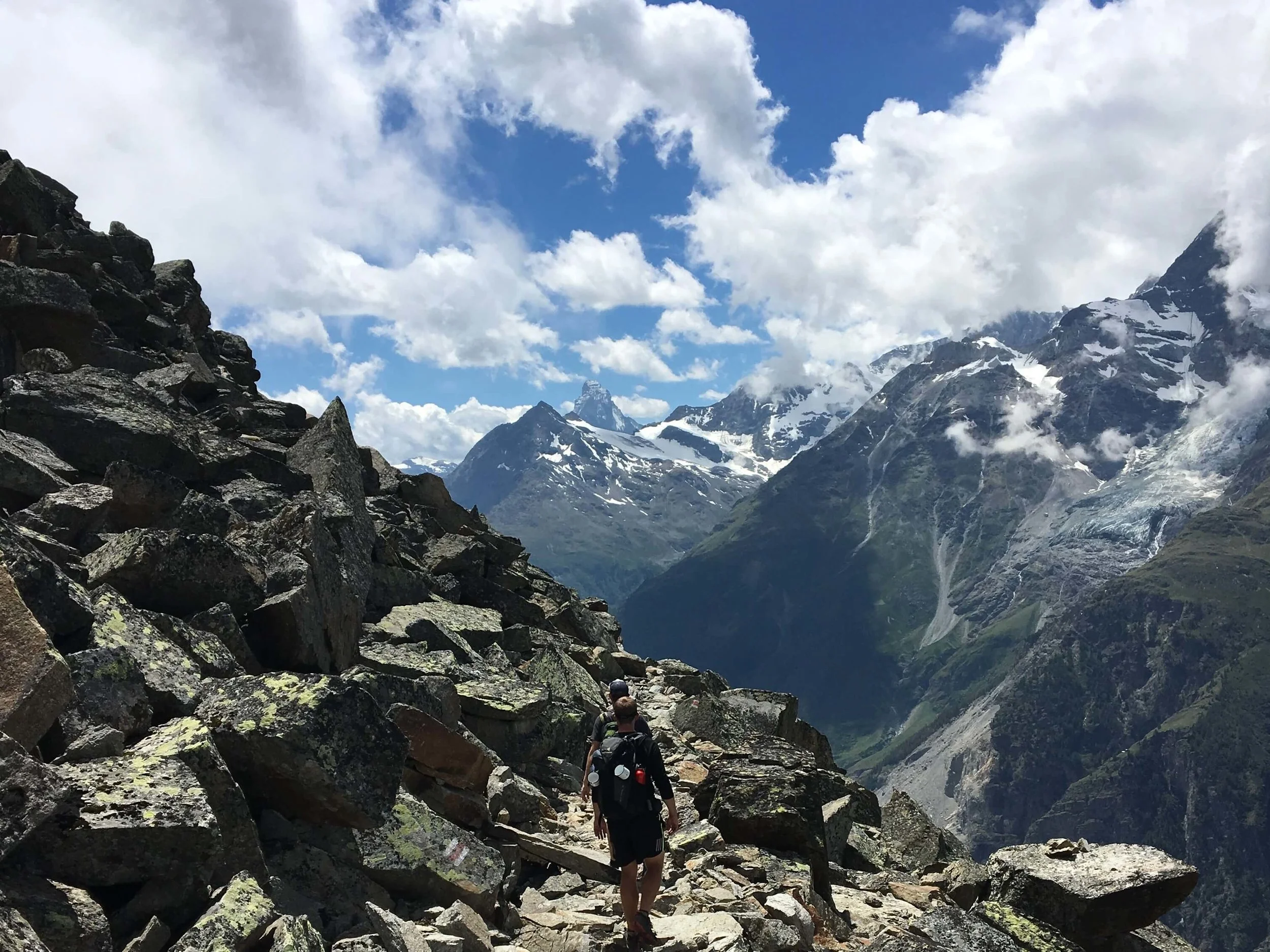
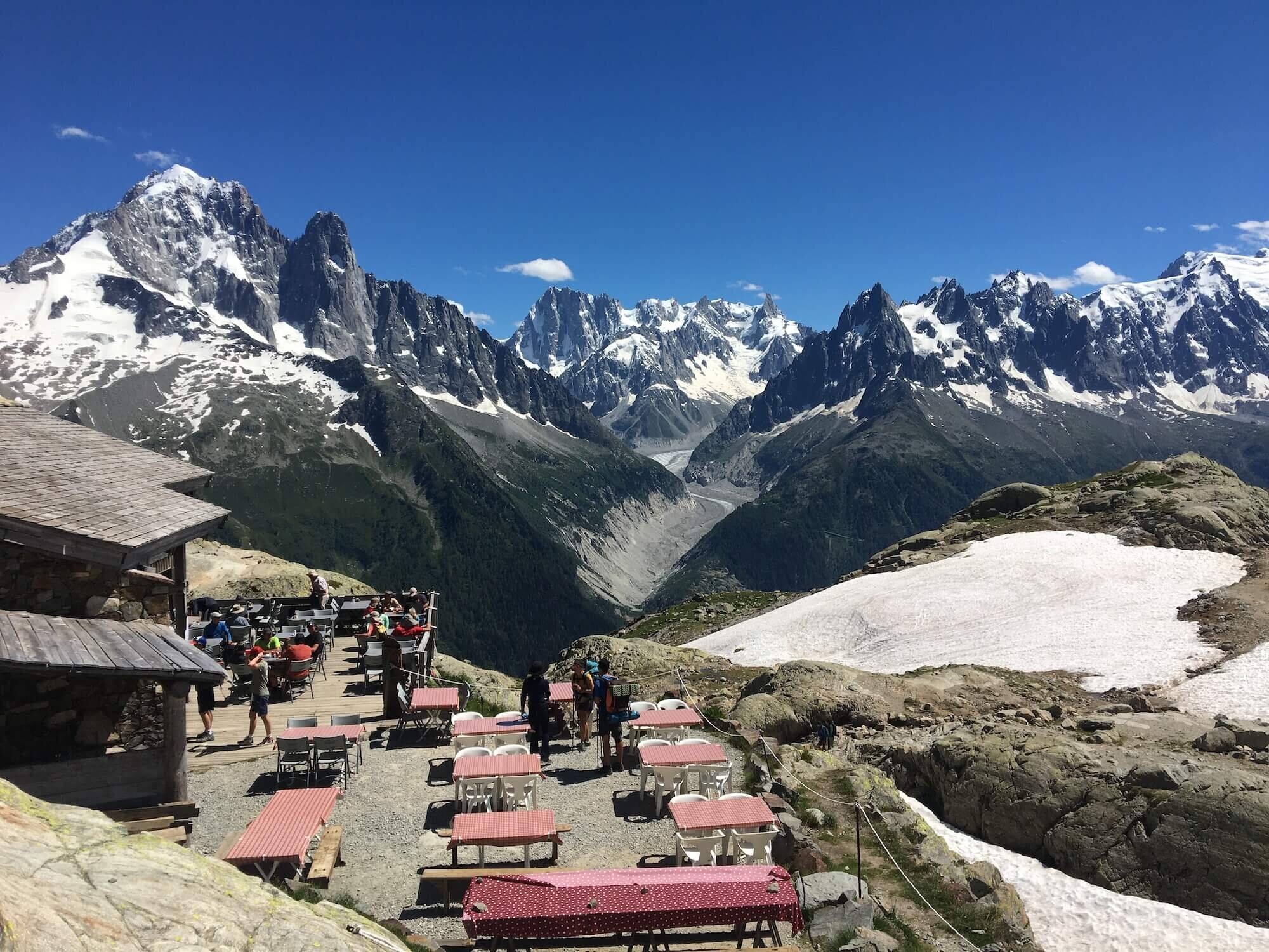
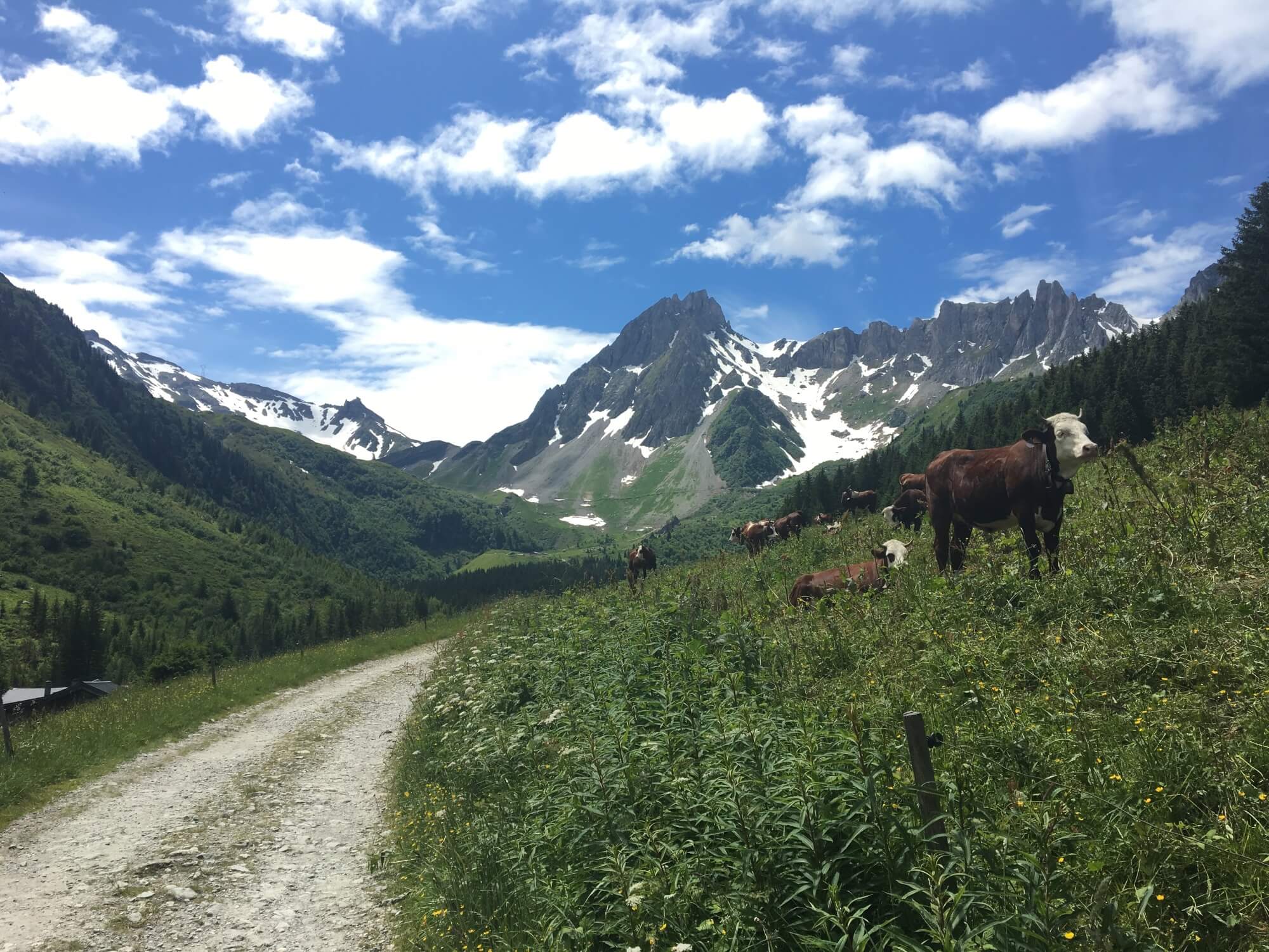
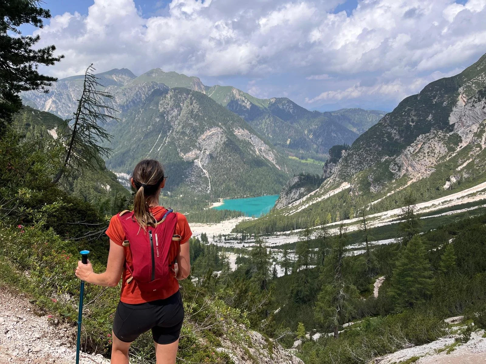
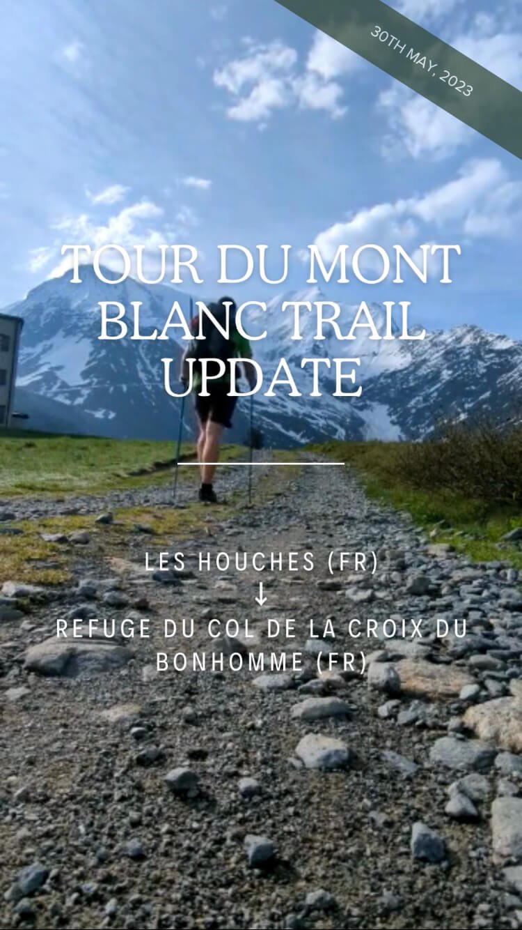
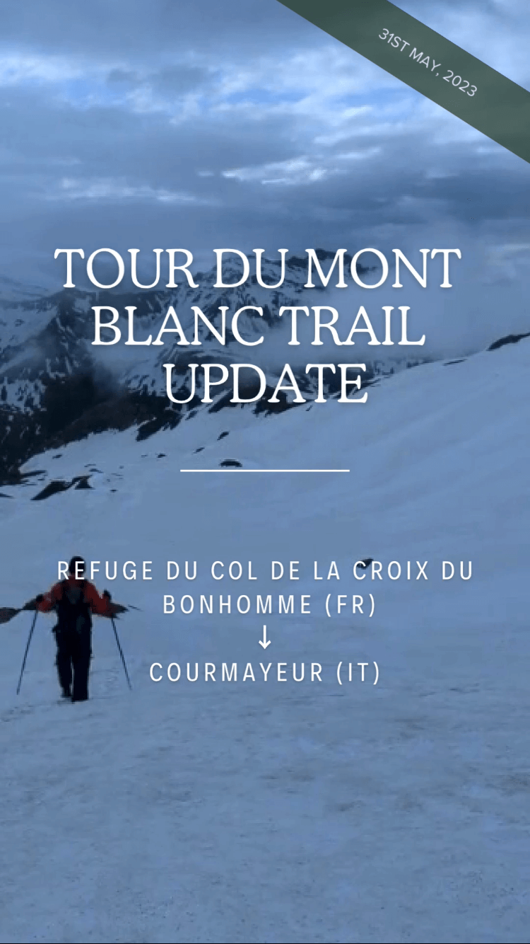
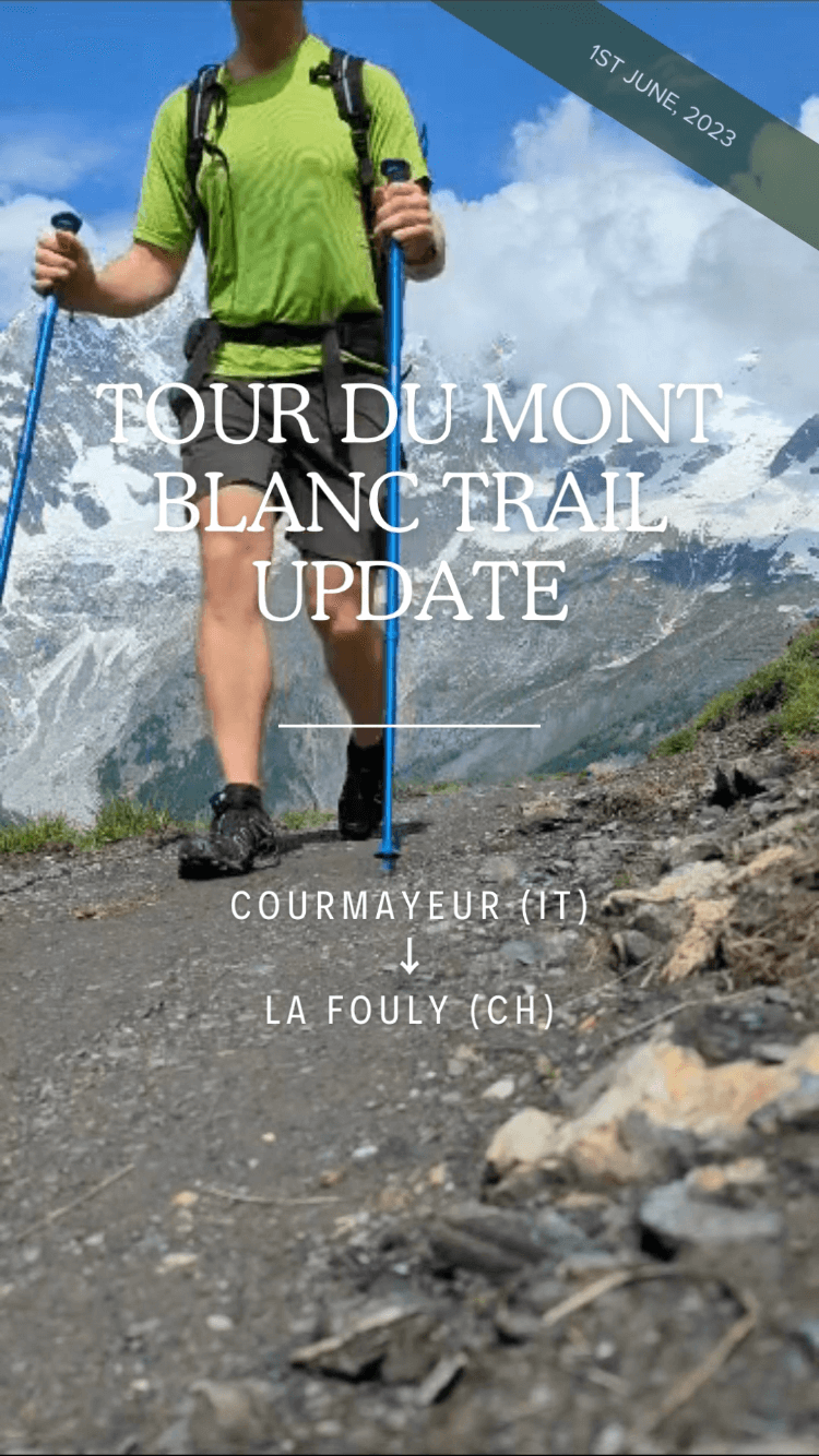
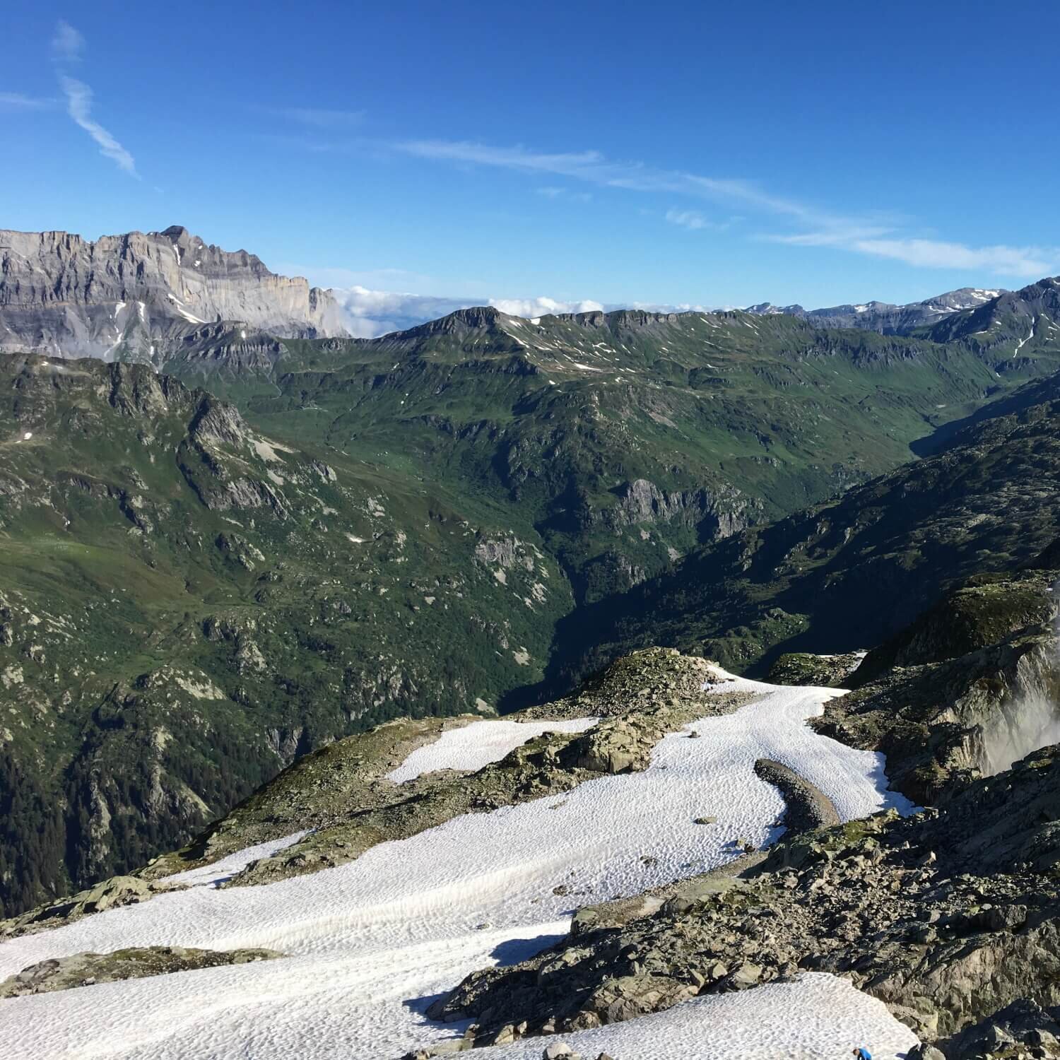
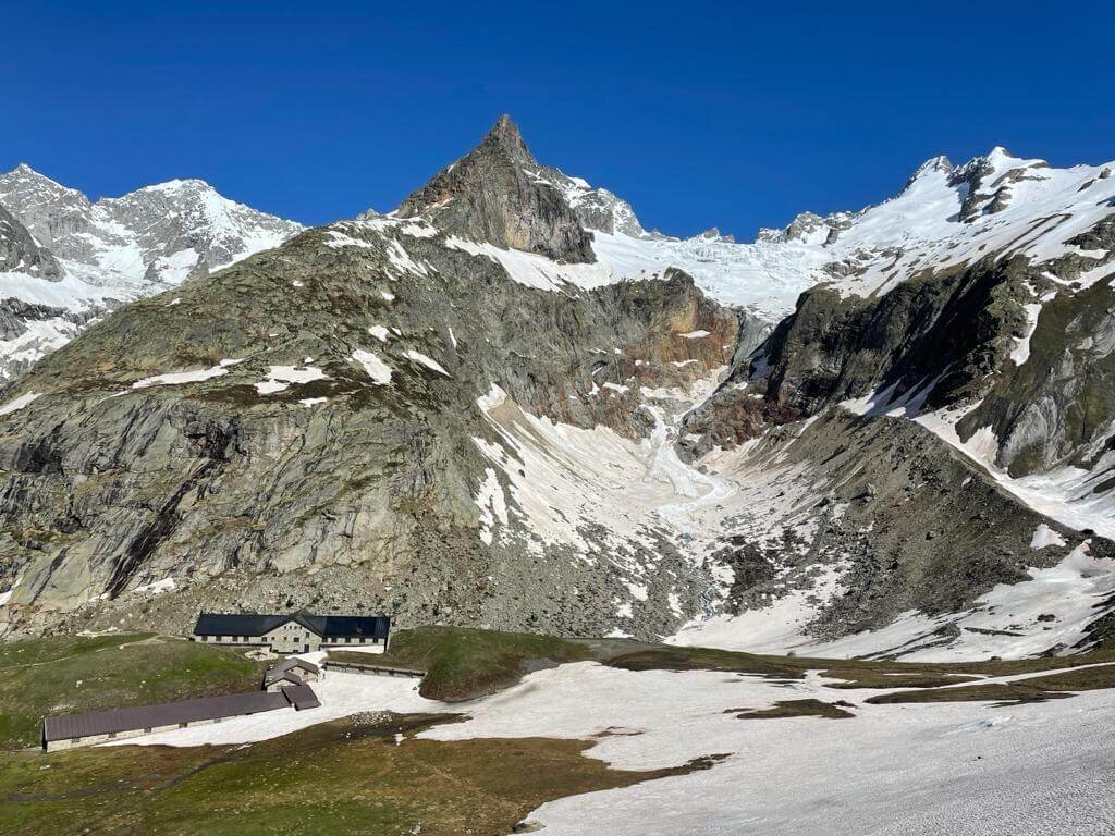
Tour du Mont Blanc
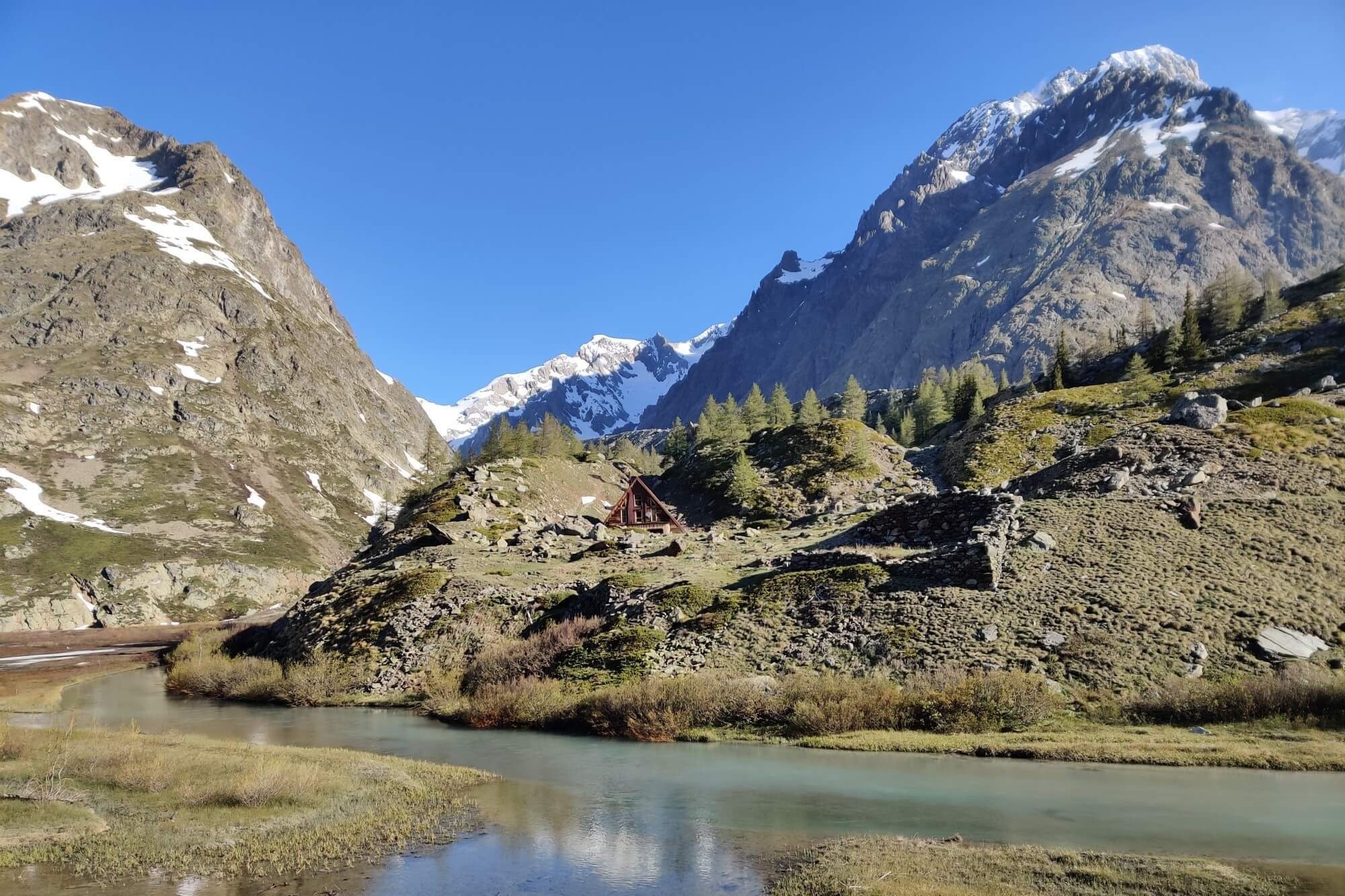
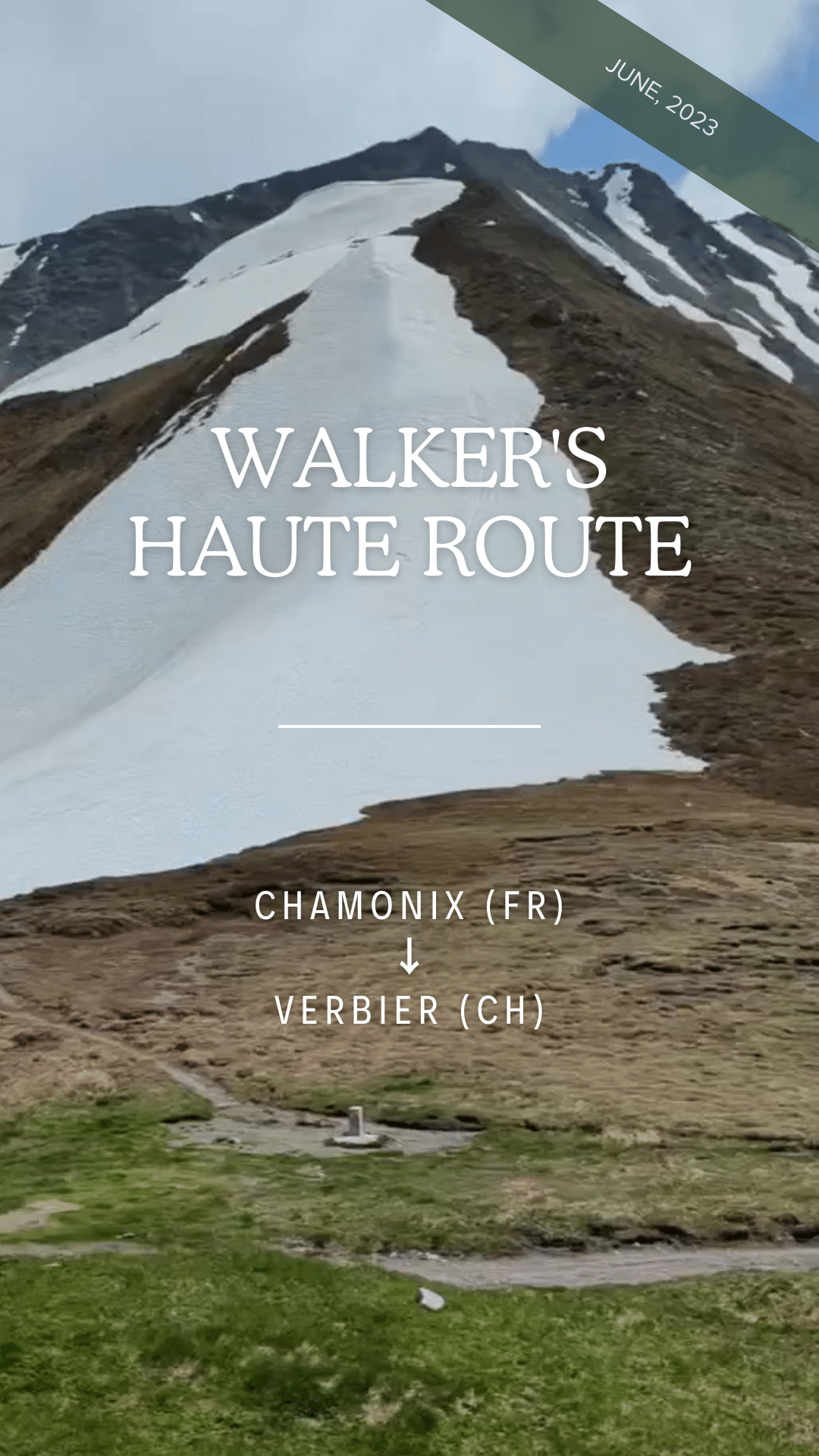
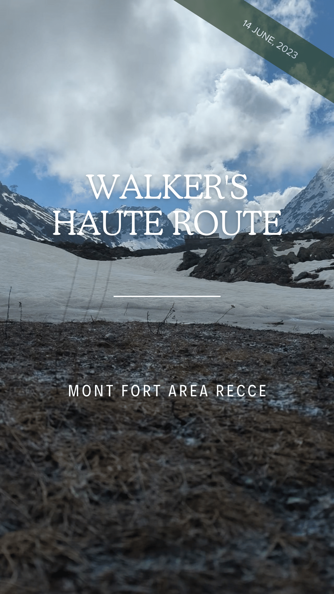
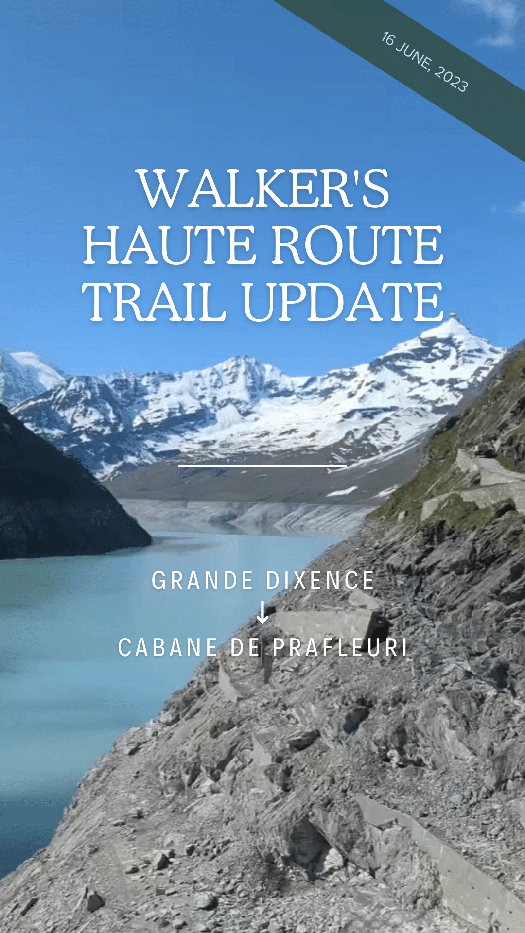
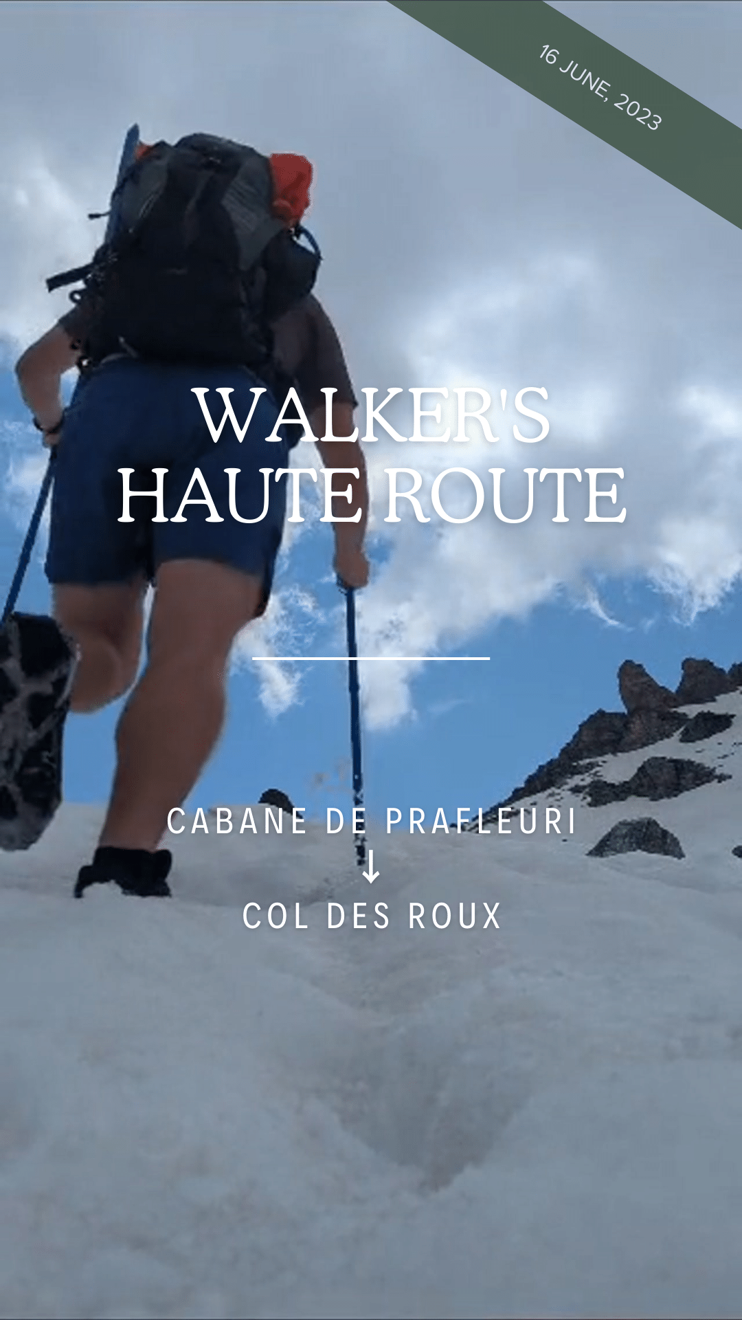
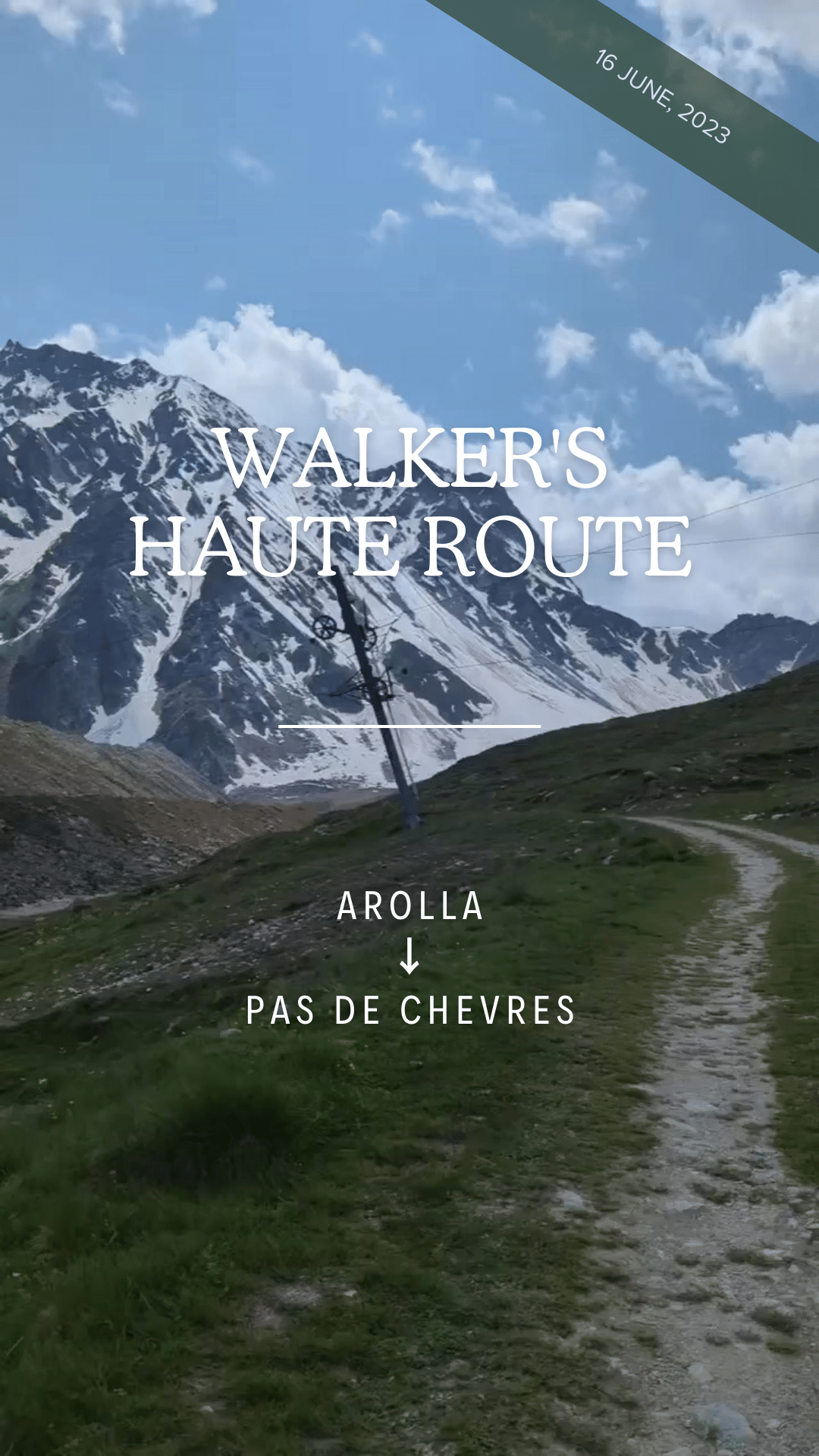
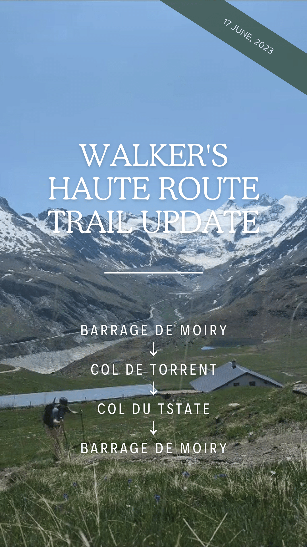
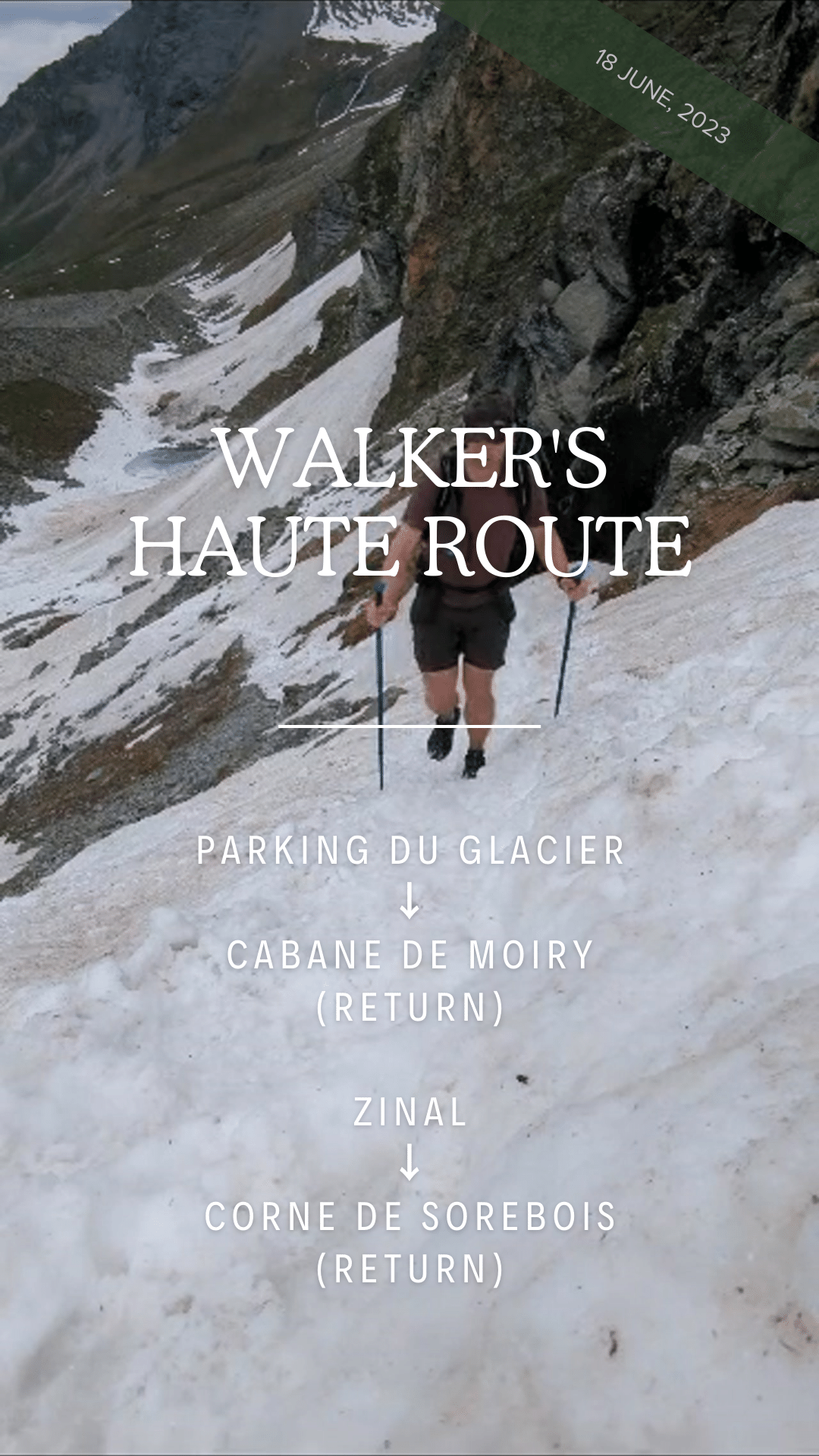
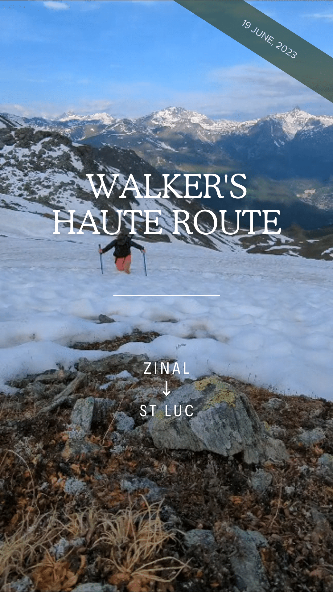
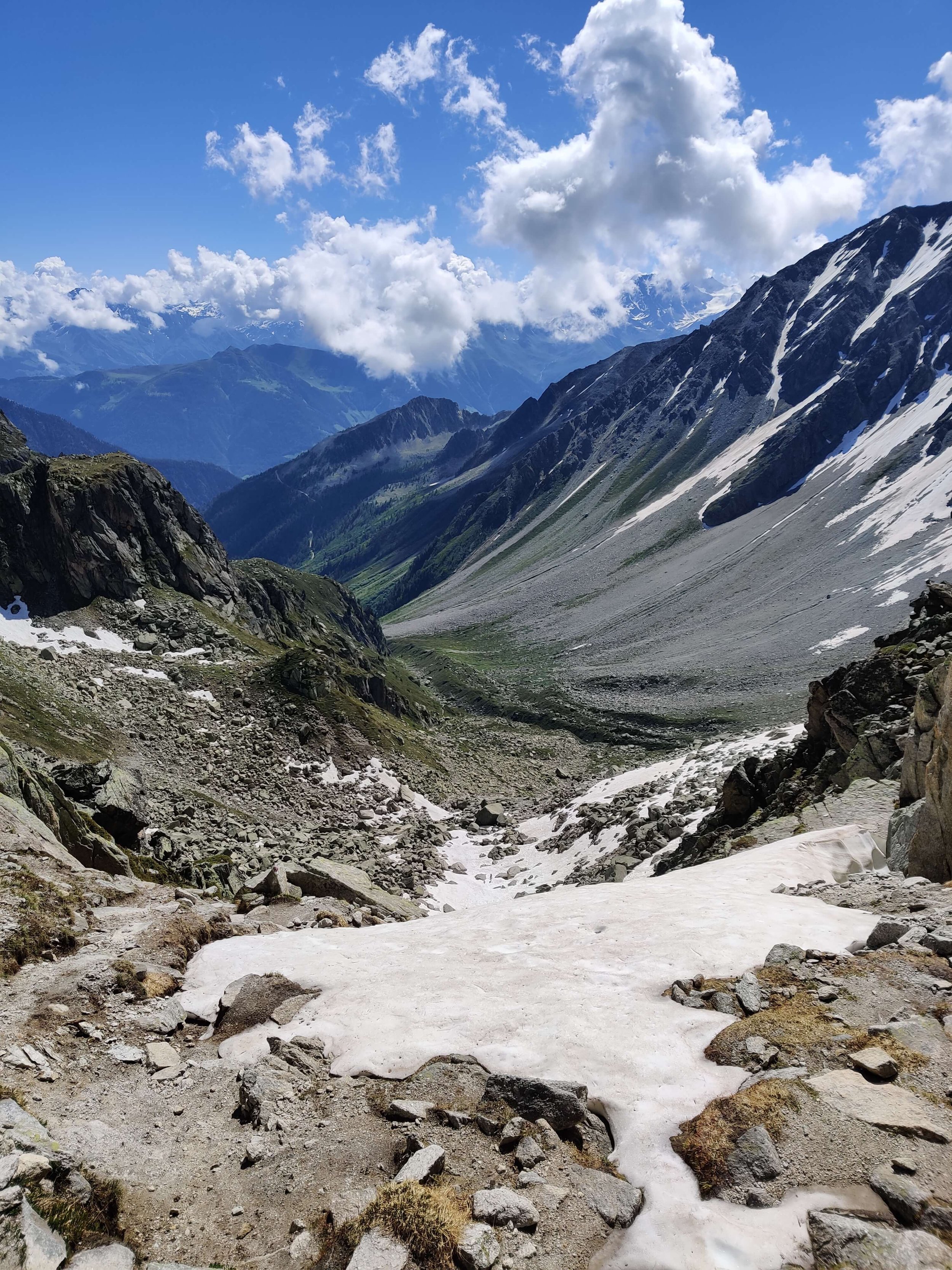
Walker’s Haute Route
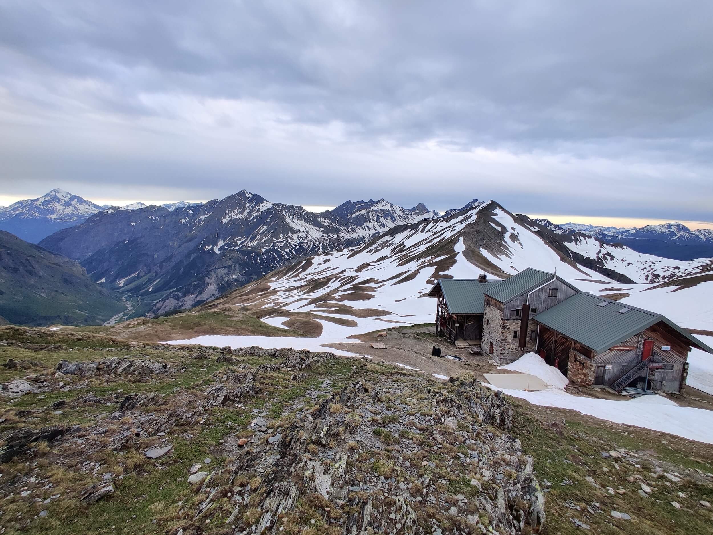
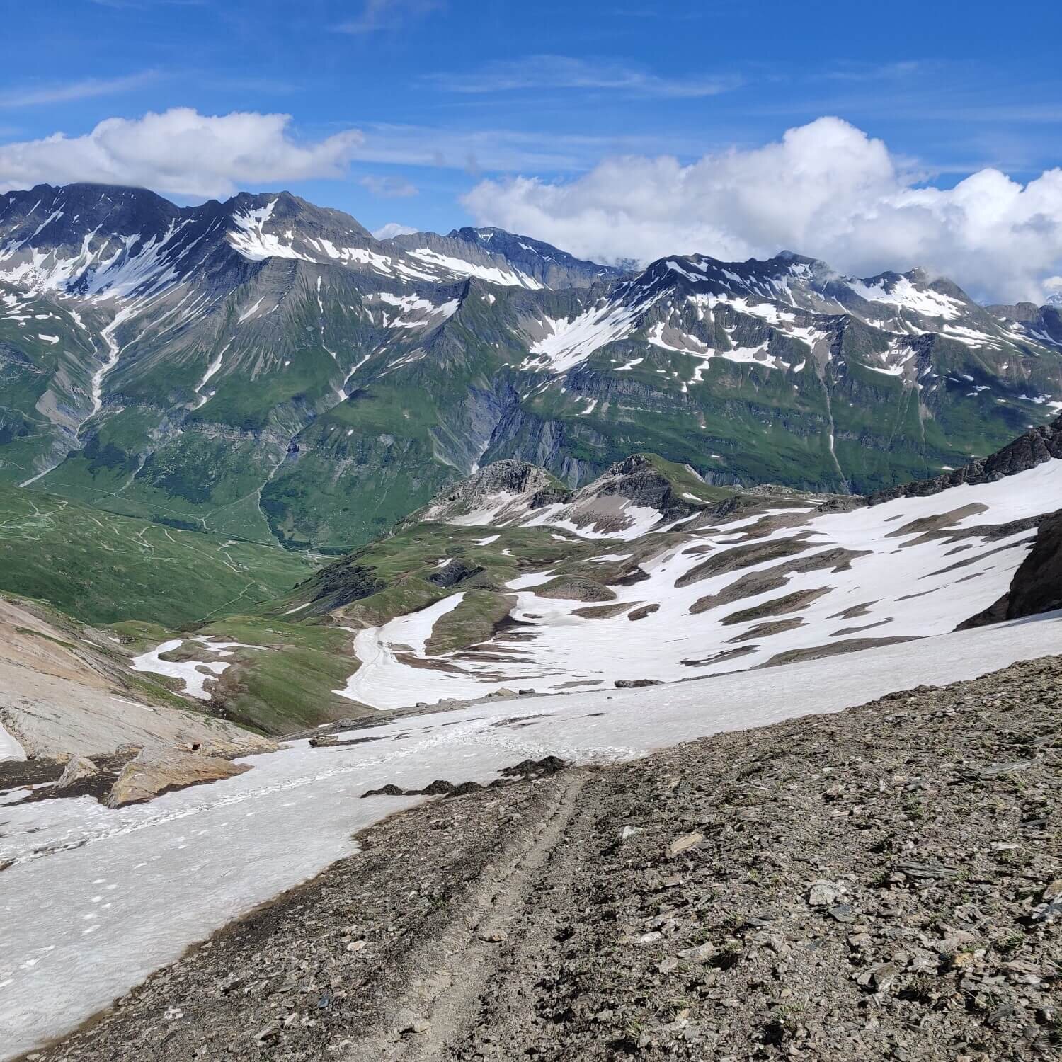
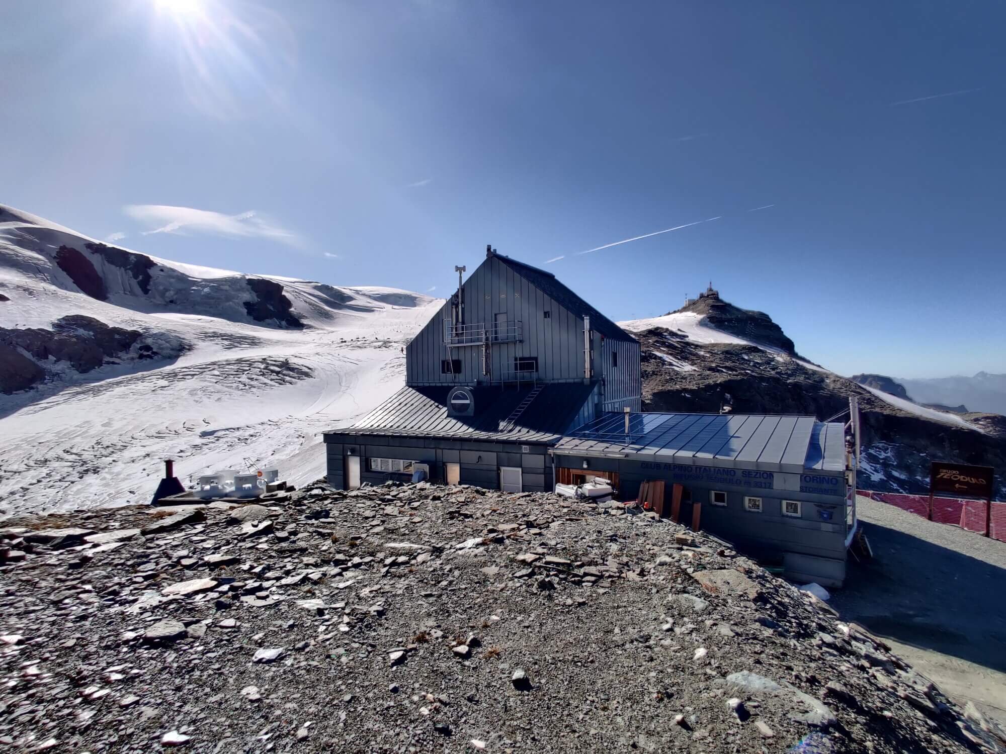
Tour of Monte Rosa
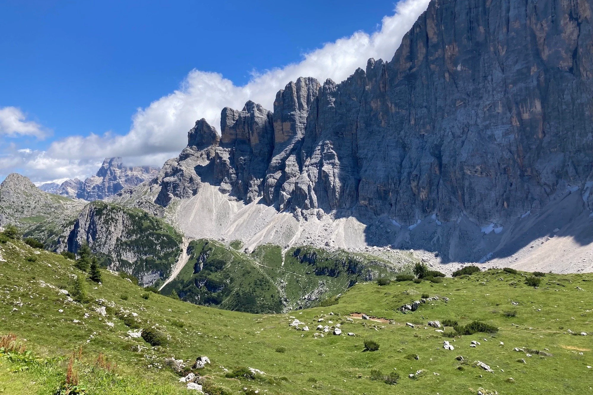
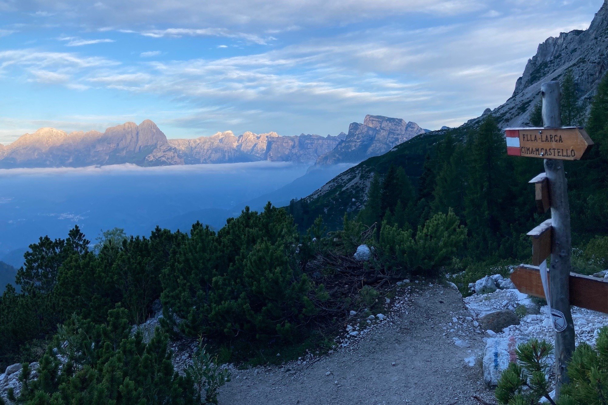
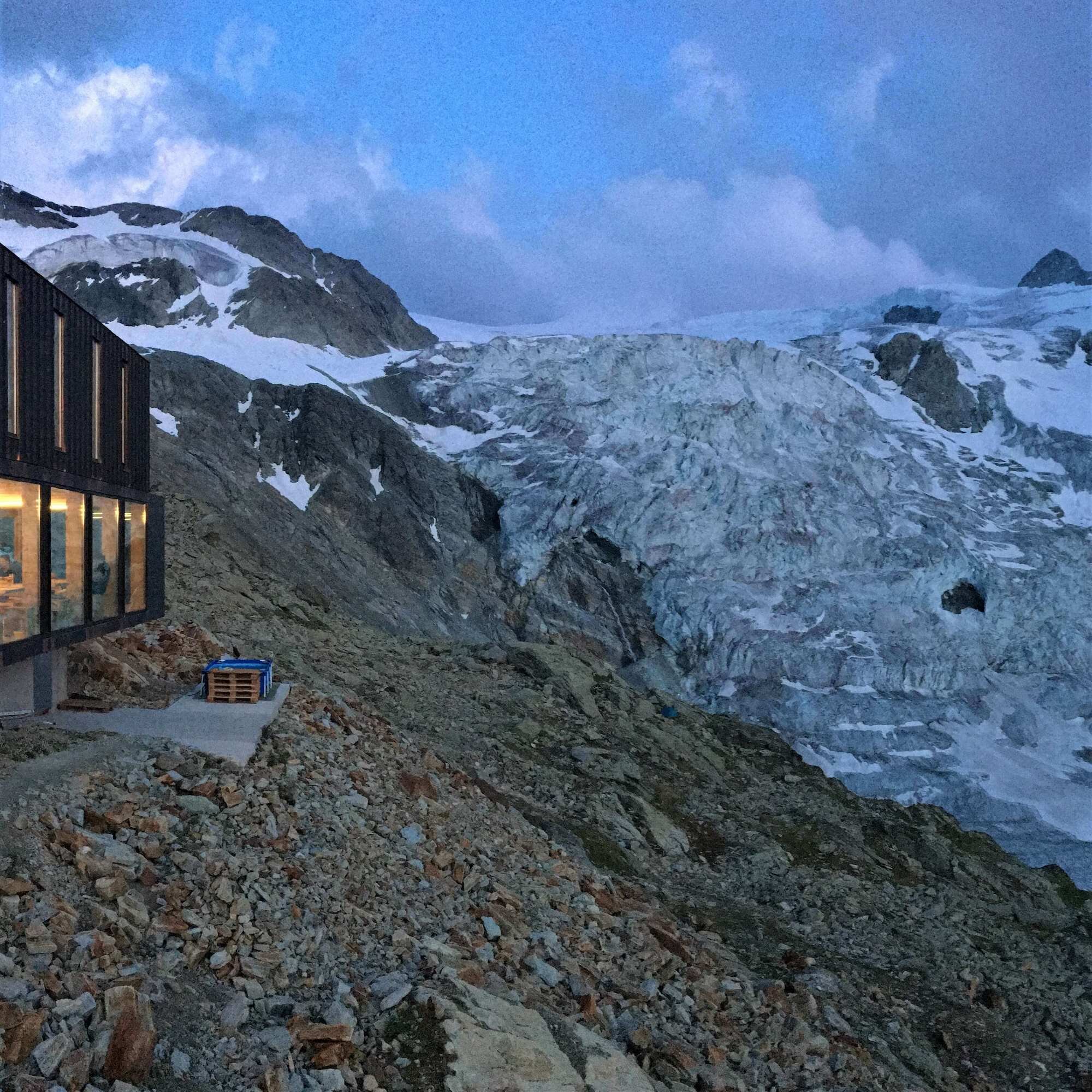
Alta Via 1 (Dolomites)
What is the time commitment?
Kick off session: To ensure we set you up for success, there will be a 30 min briefing session in May/June (depending on your start date)
During your hike: Share your trail updates and photos via Whatsapp or email (max 15 mins per day)
Does this sound like you? Get it touch to find out more. We’re excited to bring you on board!