
Tour of Monte Rosa: Main Trail
The Tour of Monte Rosa (TMR) is a 162 km / 100 mi legendary hike through the Italian and Swiss Alps, touring around a collection of some of the most iconic 4,000m+ / 13,000ft+ peaks in Western Europe. It passes through major villages, such as Saas Fee and Zermatt, and crosses the Theodul glacier. It follows 2 of the most spectacular balcony trails in the Alps: Europaweg and Hohenweg.
For those that haven’t hiked in the Alps before, it is important to understand that the Alps offer a network of trails. There are countless trail junctions that offer different - or alternate - routes while hiking around Monte Rosa.

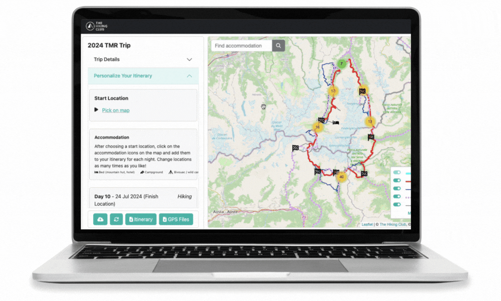
Tour of Monte Rosa: High level map from our planning app showing the trail around the massif which is located at the intersection between the Italian and Swiss borders. The red line indicates the “main trail”, while the dark blue lines indicate “alternative trails”.
As with all multi-day legendary trails in the Alps, there is a “main / classic” route and then many variants, shortcuts, and detours for hikers to choose from. The main route is:
Distance: 162 km / 100 mi
Elevation gain: 11,000 m / 36,000 ft
Highest point: 3,301m / 10,830 ft
Number of days to complete: 9 (at Steady pace)
Many TMR hikers choose to take one or more alternate routes along their journey to include a specific highlight (such as Hornli Hut), avoid difficult terrain (such as Valley Trail instead of Europaweg) or stay at a prominent accommodation option (such as Britannia Hut along the Glacier Trail). For more details of the top alternate routes of the Tour of Monte Rosa, read our detailed blog post.
MAIN TRAIL by section
Below we take a “walk” through all the different sections of the main Tour of Monte Rosa trail, all of which are included within our new planning app for hikers to include in their self-guided hiking itinerary.
If you’d like to skip to a specific section of the trail, click on the below link:
OUR SELF-GUIDED HIKING PACKAGES
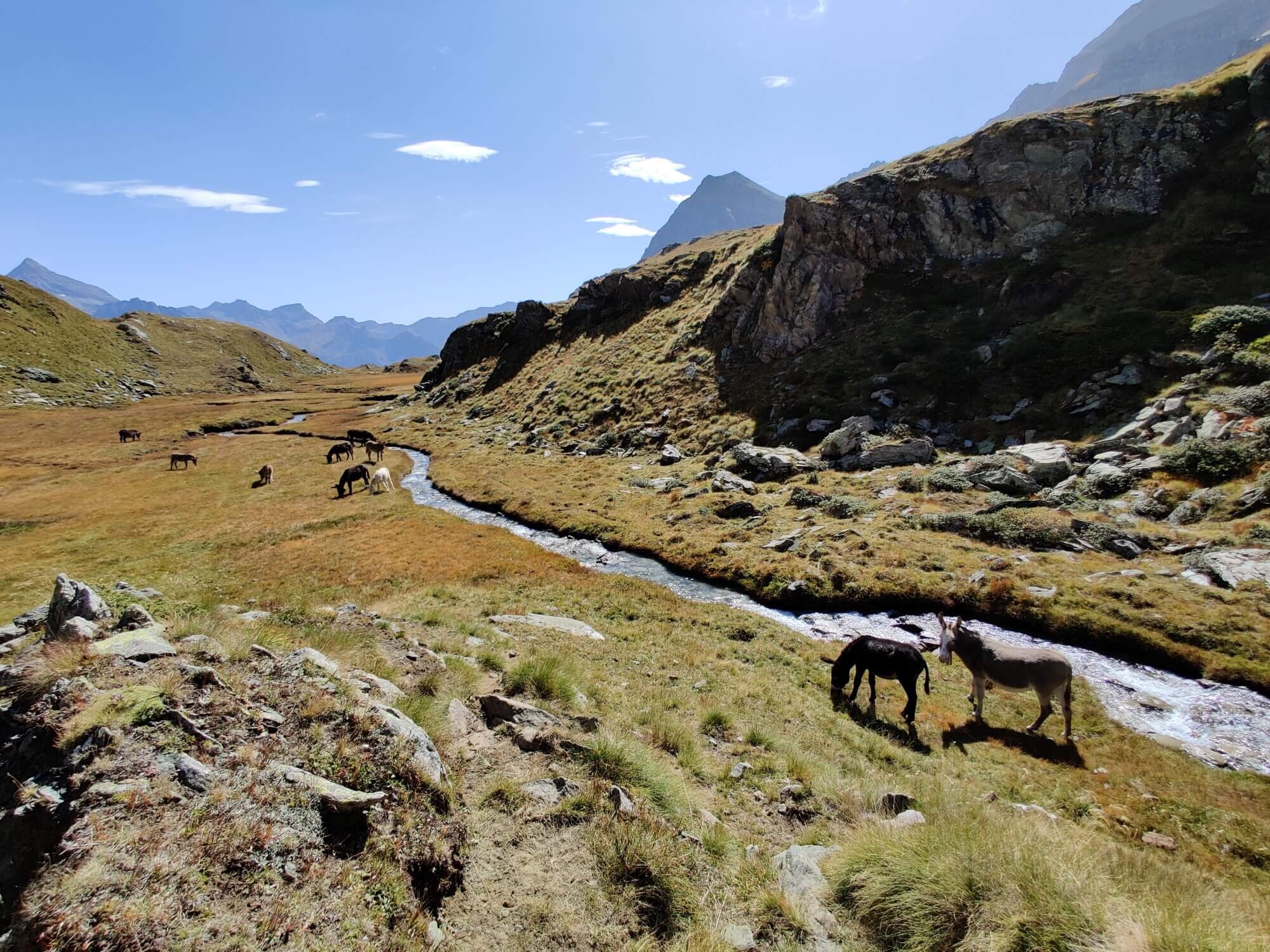
Saas Valley Trail
Between Saas Fee and STAUSEE MATTMARK
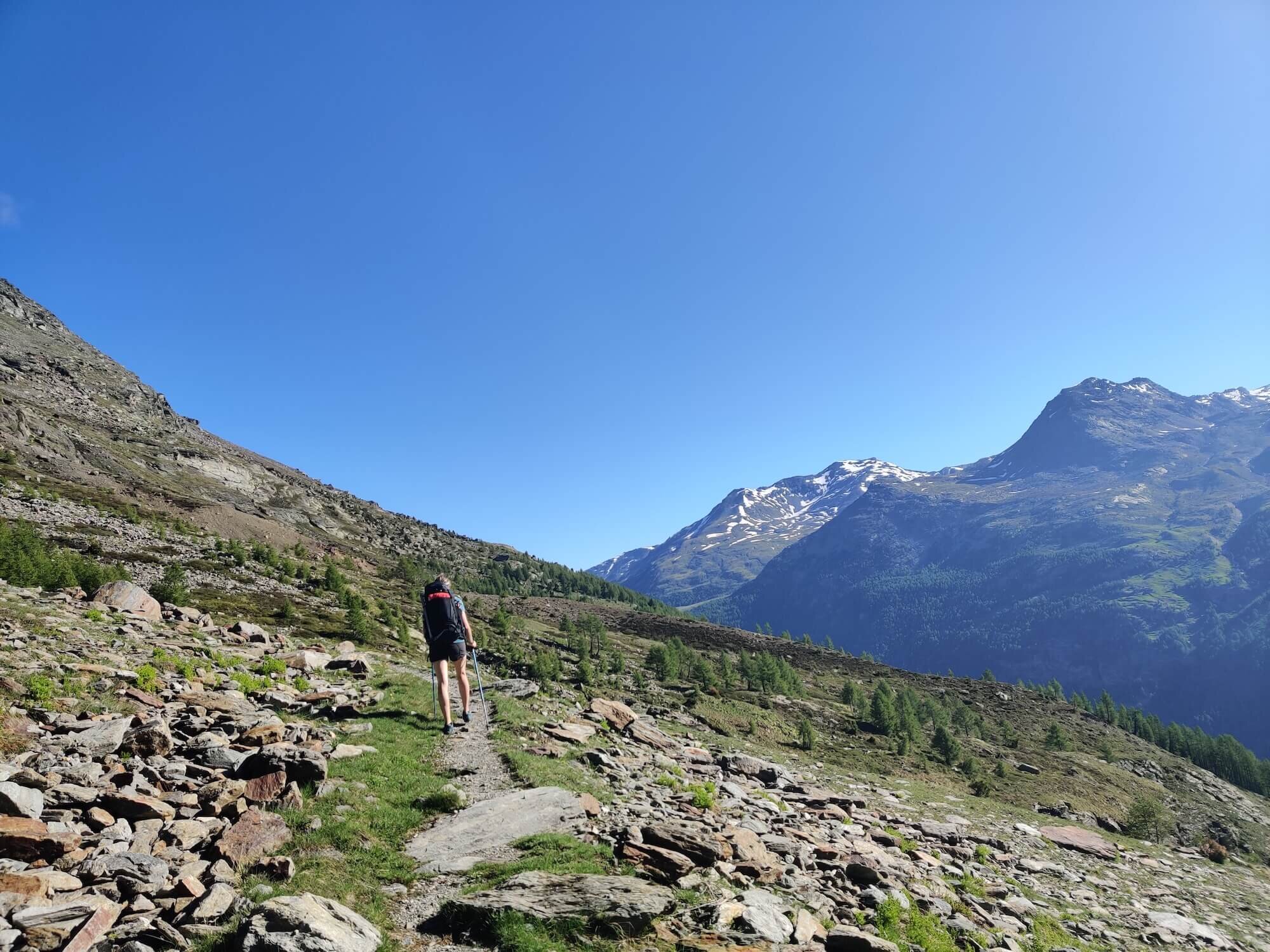
Trail Description: From Saas Fee, this route first descends through the forest to the village of Saas Almagell, before gradually climbing up the valley. It steepens on the final section to Mattmark Dam where you will meet a flat track to lead you along the East/left side to the South end.
Difficulty: Hiking Trail
Is there an alternate route? Yes, the Glacier Trail diverts and rejoins the main trail at Saas Fee and Stausee Mattmark.
Transport Shortcut: Bus between Saas Fee and Mattmark Dam
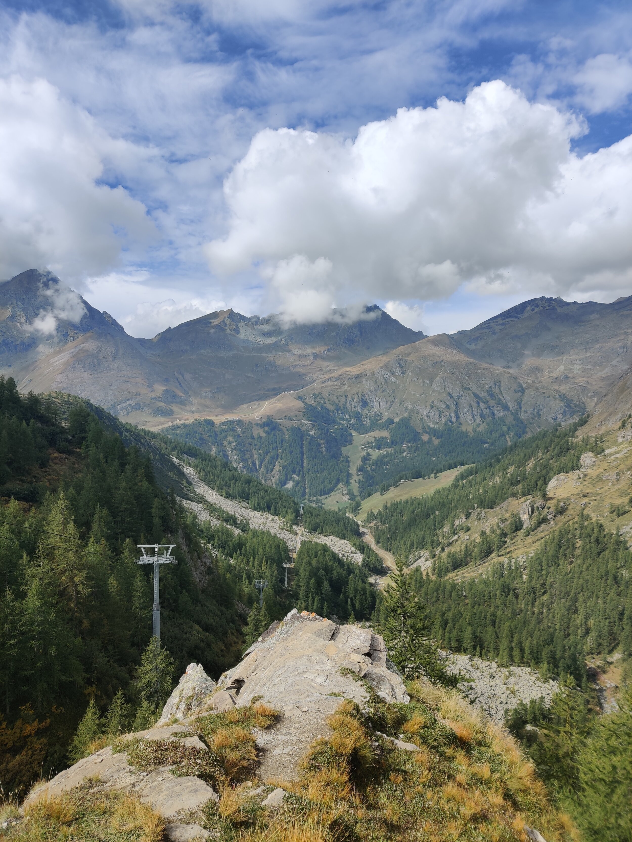
Monte Moro Pass and Colle del Turlo Trail
Between Mattmark and Rifugio Pastore
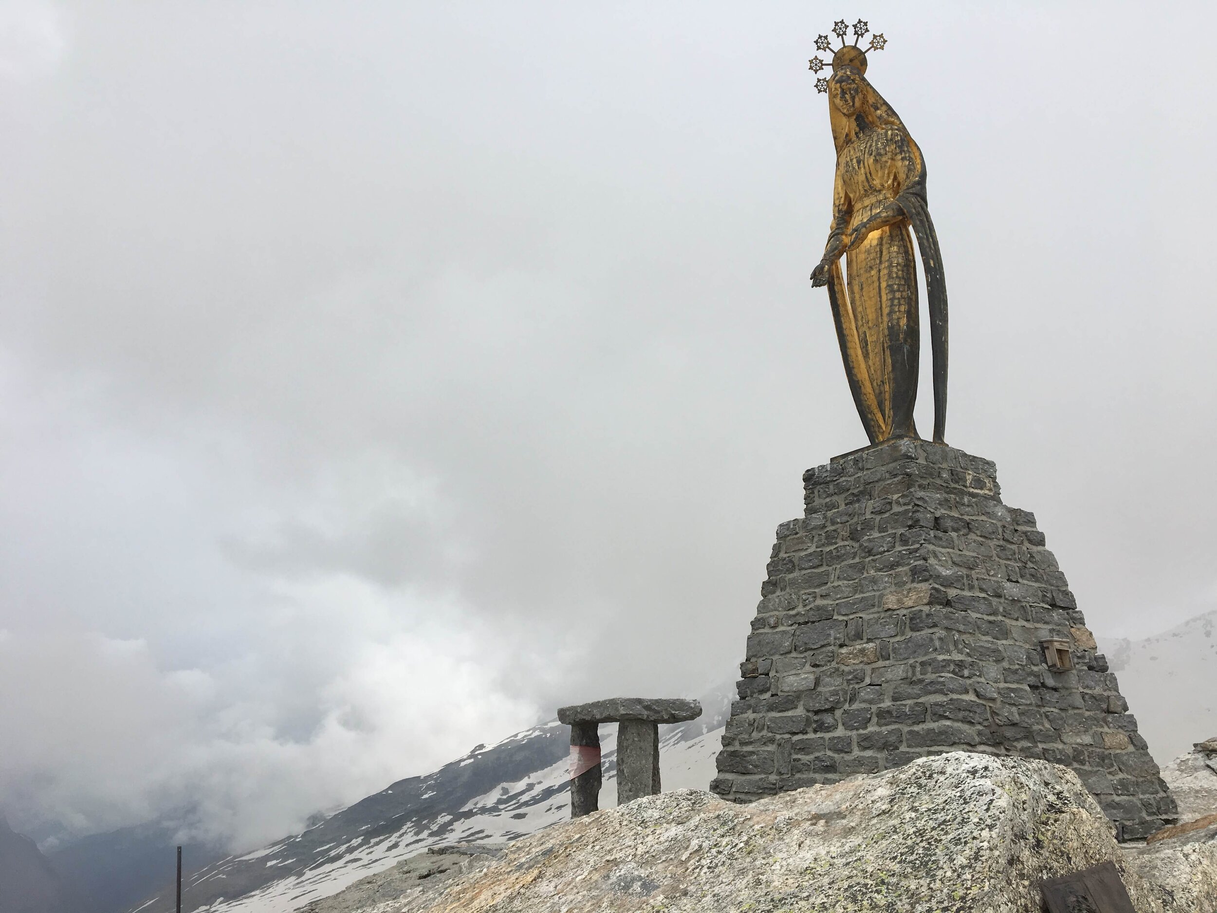
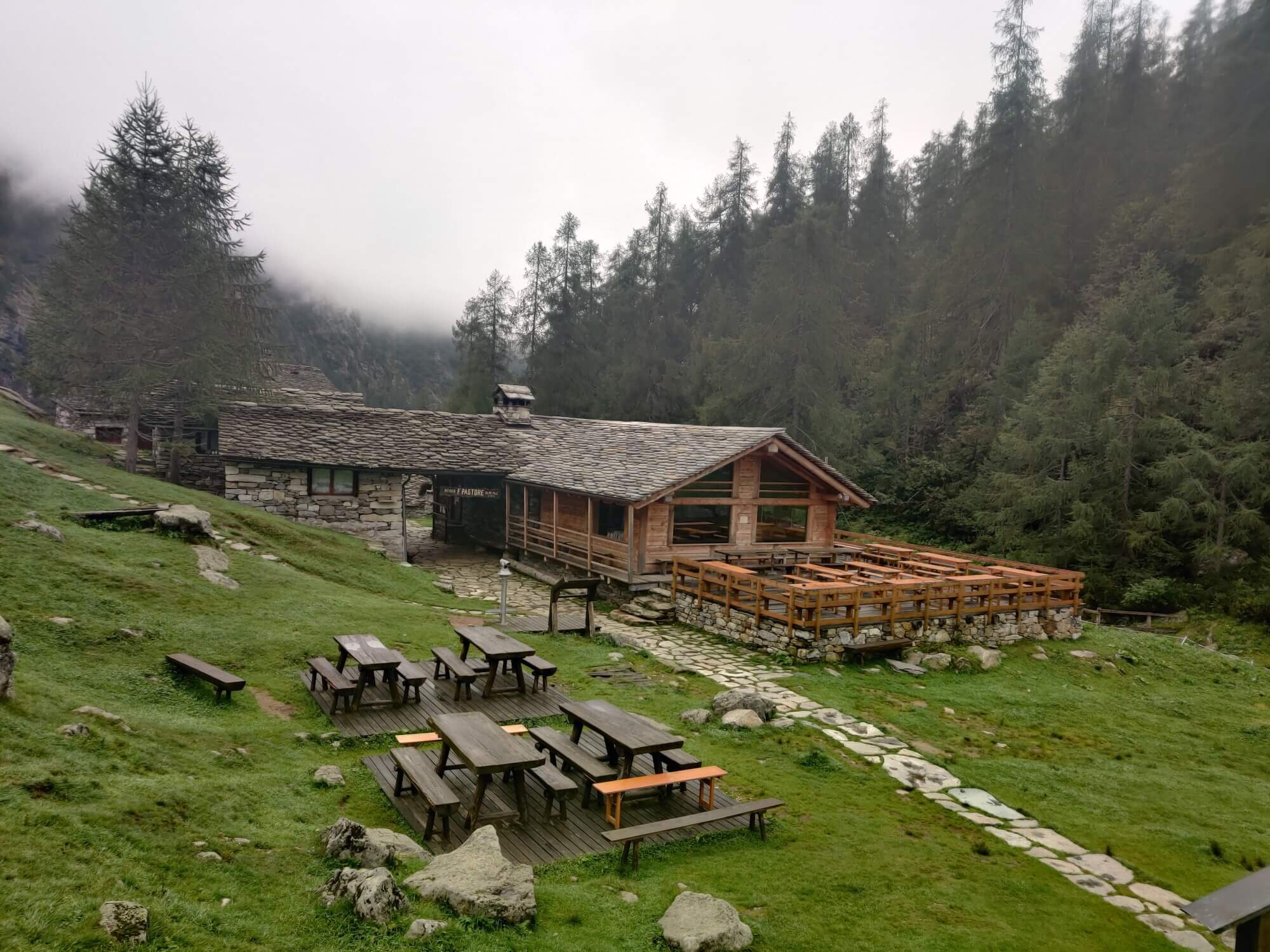
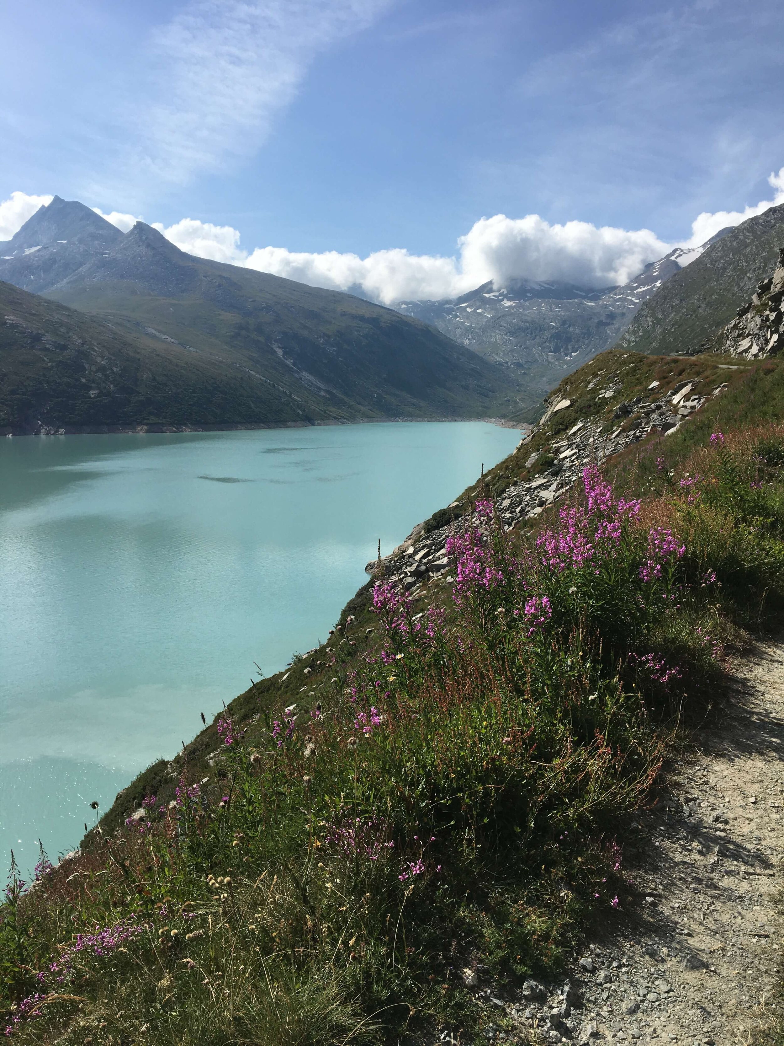
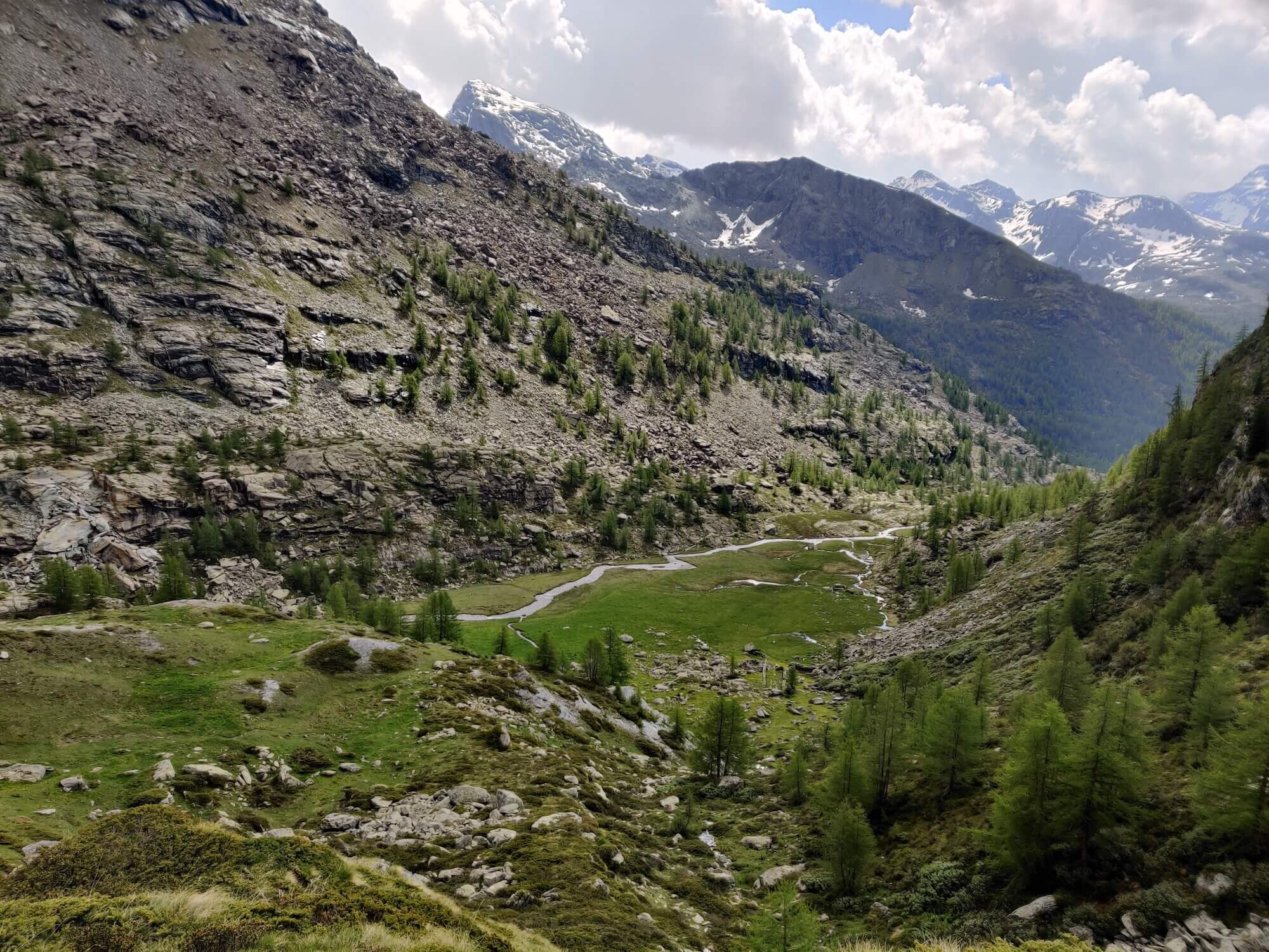
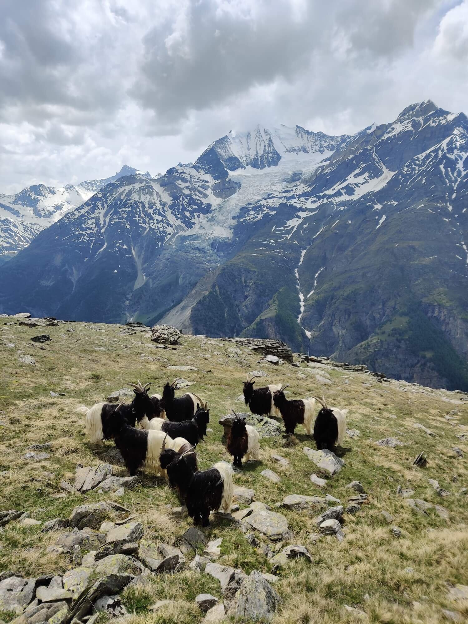
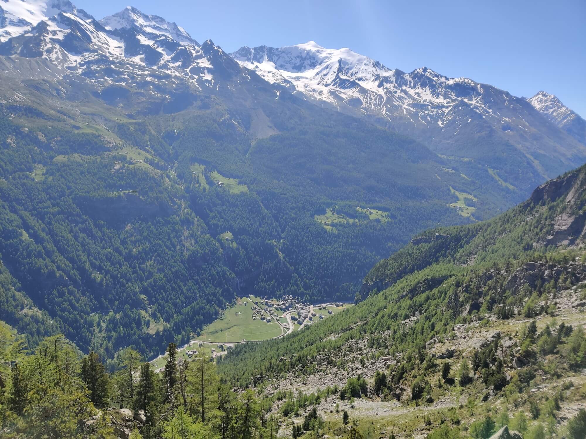
Trail Description: This section begins at Mattmark Dam, Europe's largest earthen dam located at the southern end of the Saas valley. Enjoy the crystal blue water highlighted against the green hills that surround it. The trail climbs up to Monte Moro pass (2,852m / 9,357ft), connects Saas-Almagell in the Swiss canton of Valais to Macugnaga in the Italian region of Piedmont. There is a golden statue of Madonna that welcomes (and farewells!) hikers to the pass. After descending to Macugnaga, a small mountain village, the trail climbs up to Colle del Turlo (2,738m / 8,983ft), connecting the Quarazza valley with the upper Sesia valley. It has historical significance as an old trade route travelled by man and mule since the 13th century. The trail then descends to the valley floor to Rifugio Pastore.
Difficulty: Hiking and Mountain Trail.
Is there an alternate route? No. This is the only route that connects Mattmark Dam in Switzerland to the Sesia valley in Italy.
Transport Shortcut: Cable Car between Rifugio Oberto and Macugnaga.
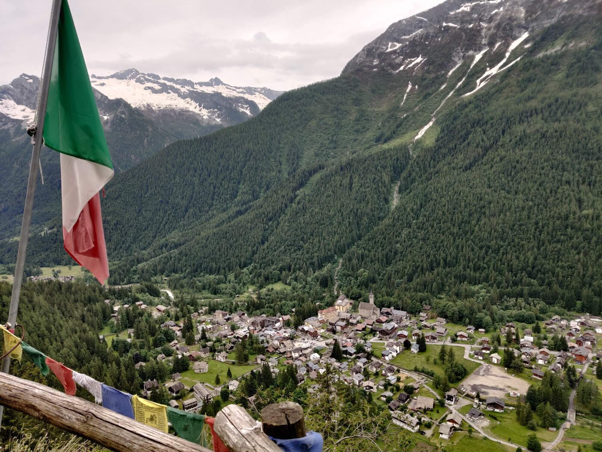
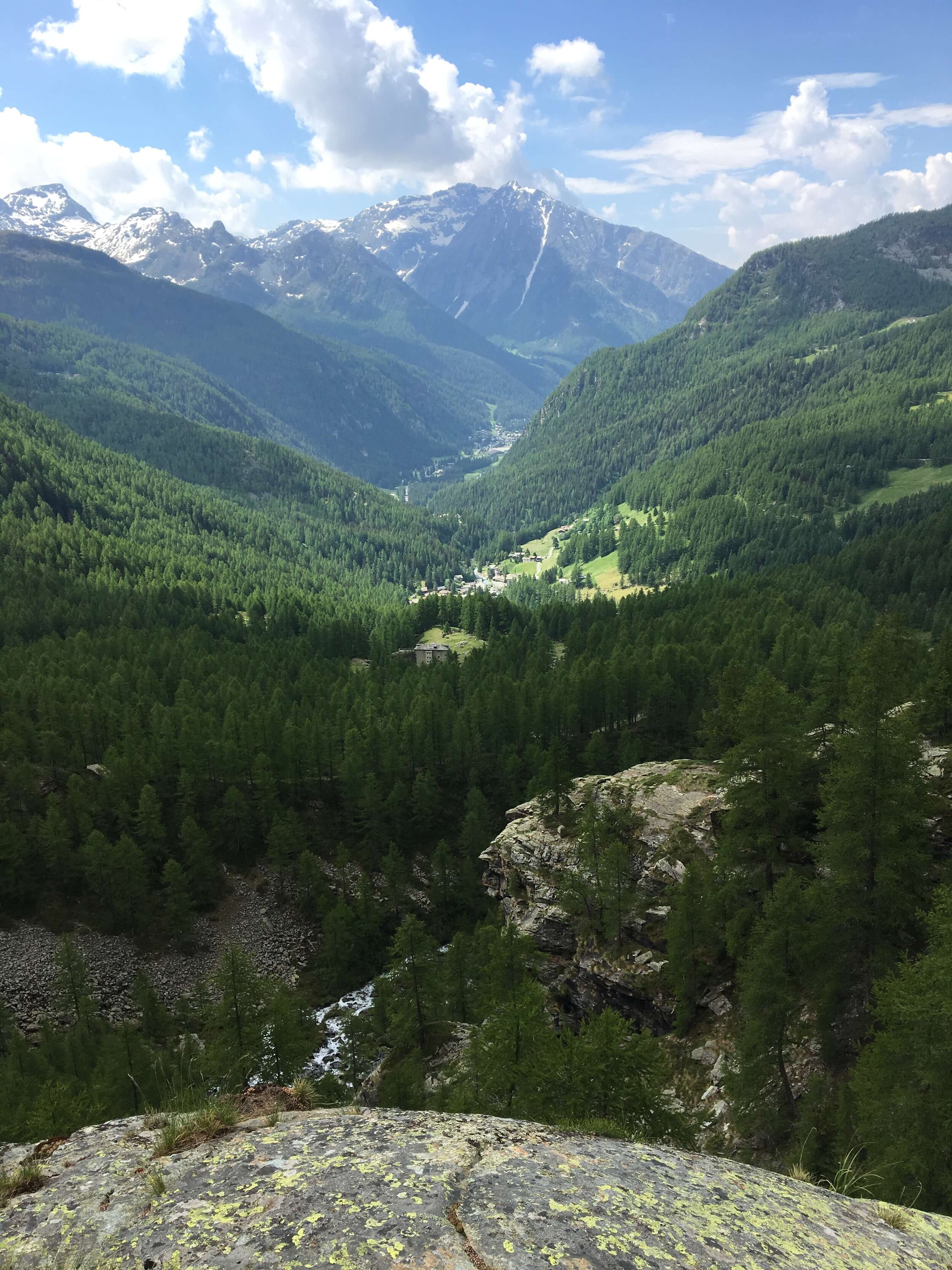
Alagna Valsesia Trail
Between Rifugio Pastore and Gabiet
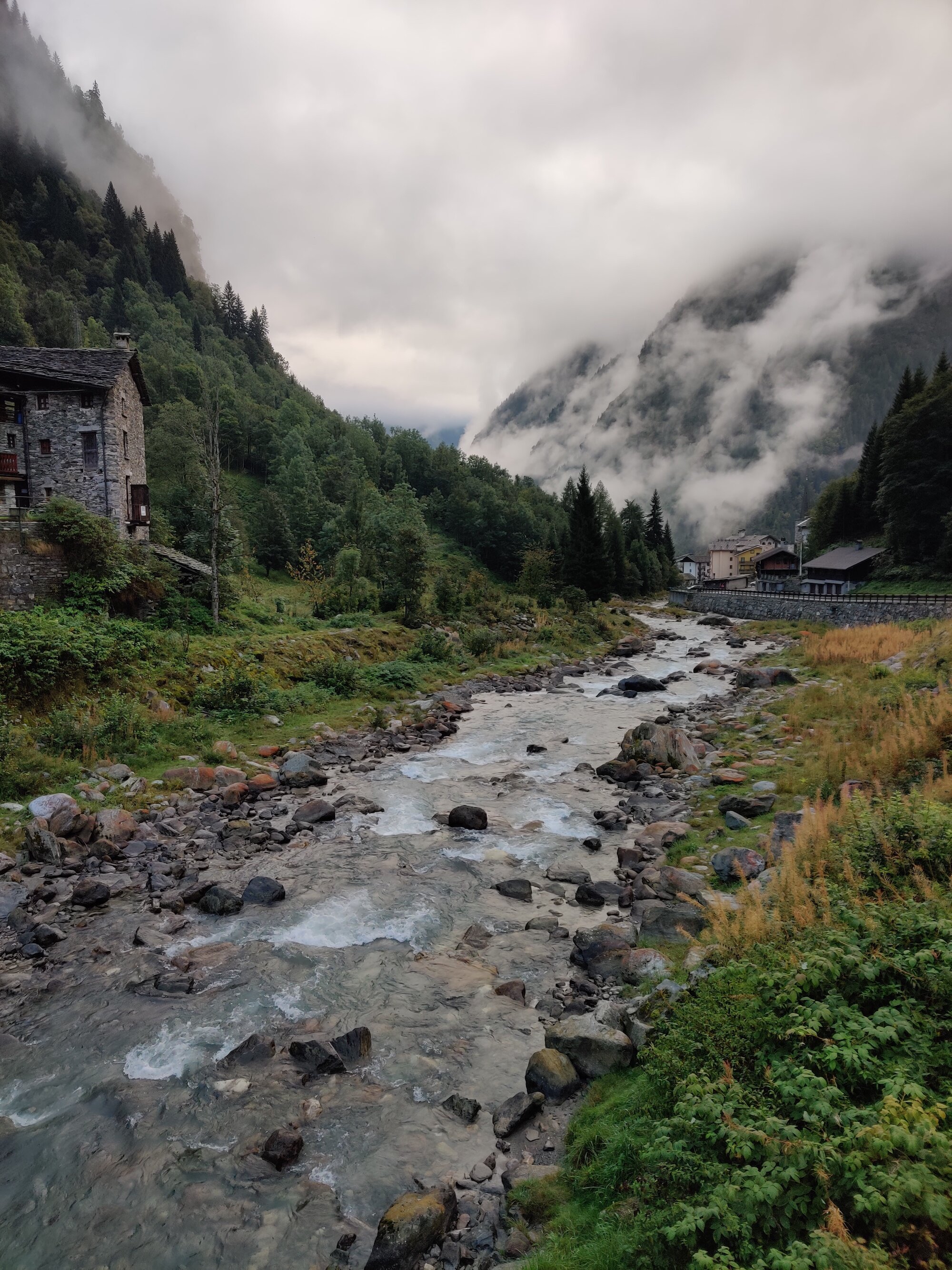
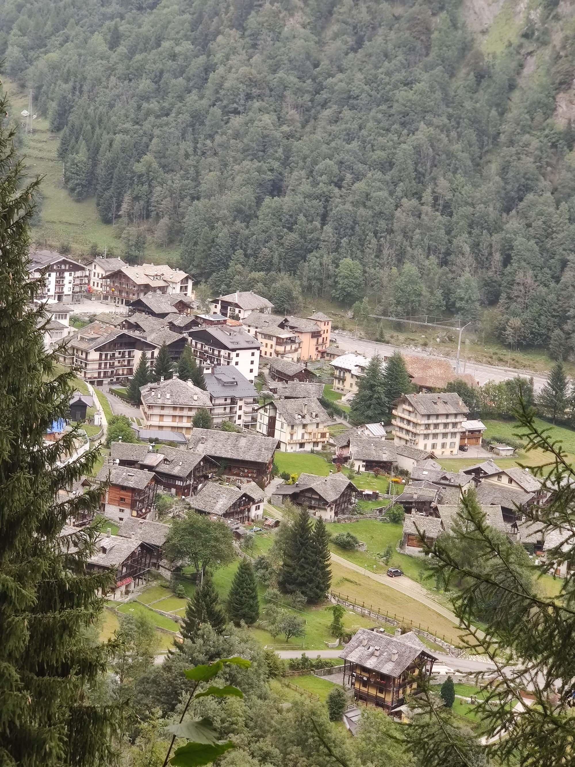
Trail Description: The main trail leaves Rifugio Pastore by following the Sesia river down to the village of Alagna Valsesia. This small mountain town is located at 1,191m /3,907ft within the Valsesia alpine valley, a UNESCO World heritage site since 2013. The town has several buildings built around 1500–1600 in a pure "Walser Style" using local wood and stones, still in perfect condition. The route then ascends through the forest and hamlets of Alpe Pianmisura and Otro before becoming steeper as it climbs through alpine meadows to Passo Foric (2,432m / 7,979ft). From here, the path is classified as mountain trail as it continues to climb into the rocky alpine to reach the closed Rifugio Guglielmina and Col d’Olen (2,881m / 9,452ft). The trail then descends through the ski area to reach Gabiet.
Difficulty: Combination of Hiking & Mountain Trail.
Is there an alternate route? Yes, the Alpe Bors Trail diverts and rejoins the main trail at Rifugio Pastore and the closed Rifugio Guglielmina.
Transport Shortcuts:
Shuttle Bus between Acqua Bianca (near Rifugio Pastore) and Wold carpark Alagna.
Cable Cars between Alagna Valsesia and Cimalegna Lift Top.
Gondola between Passo dei Salati and Gabiet.
Colle Rothorn Trail
Between Gabiet and Resy
Trail Description: This trail descends from Gabiet through the trees and under the gondola to reach Stafal, a small town located in the valley. The trail then ascends up the other side of the valley and diverts from the ski area at Sant Anna and climbs up a rocky path to cross Passo del Rothorn (2,689m / 8,822ft). The trail mostly avoids the ski area on the descent before reaching Resy, a small hamlet with 2 mountain huts and stunning views of Val d’Ayas.
Difficulty: Mountain Trail.
Is there an alternate route? Yes there are two:
Colle di Pinter (Between Gabiet and Resy)
Colle della Bettaforca (Between Sant Anna and Resy)
Transport Shortcuts:
Gondola between Gabiet and Stafal
Cable Car between Stafal and Albergo Ristoro Sitten
Chairlifts between Albergo Ristoro Sitten and Alpe Forca lift station
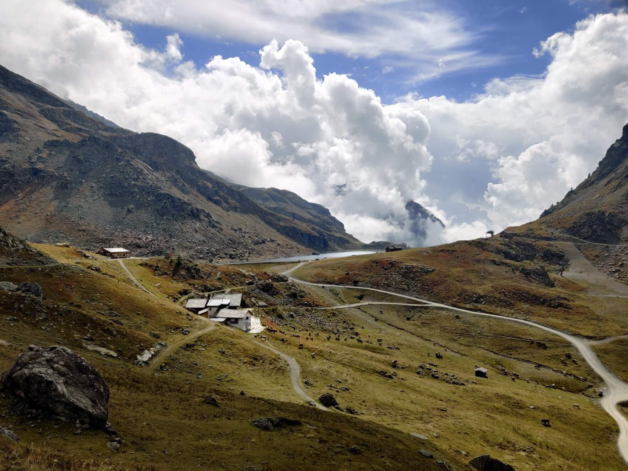
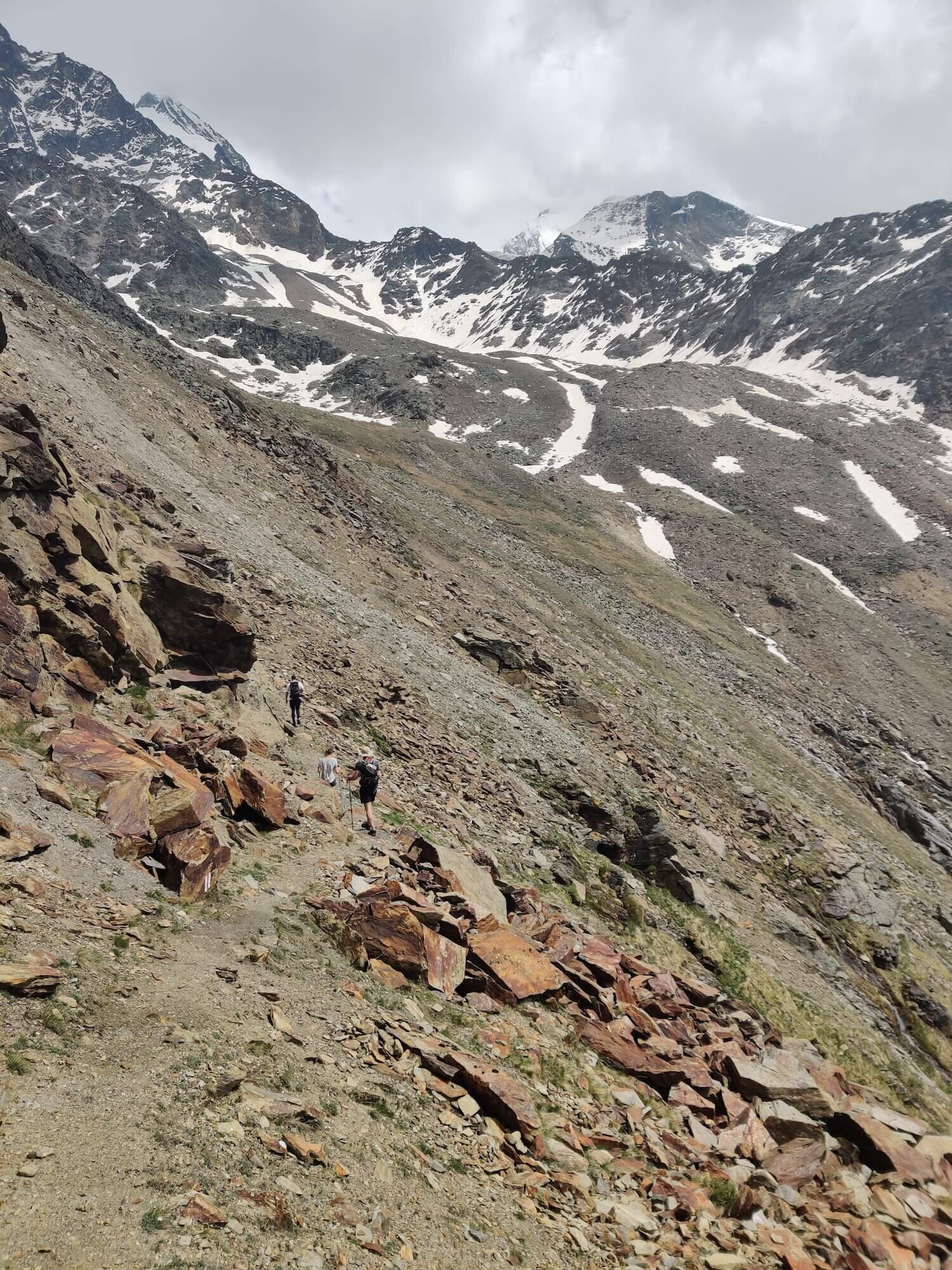
Cime Bianche Trail
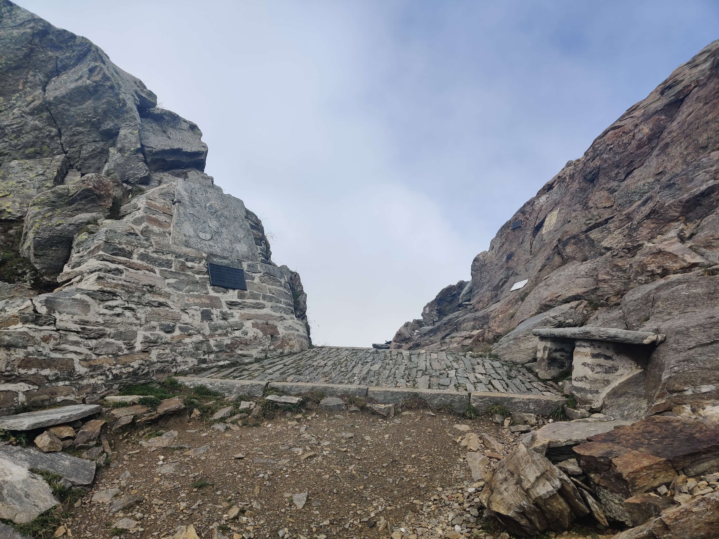
Between Resy and Theodulpass
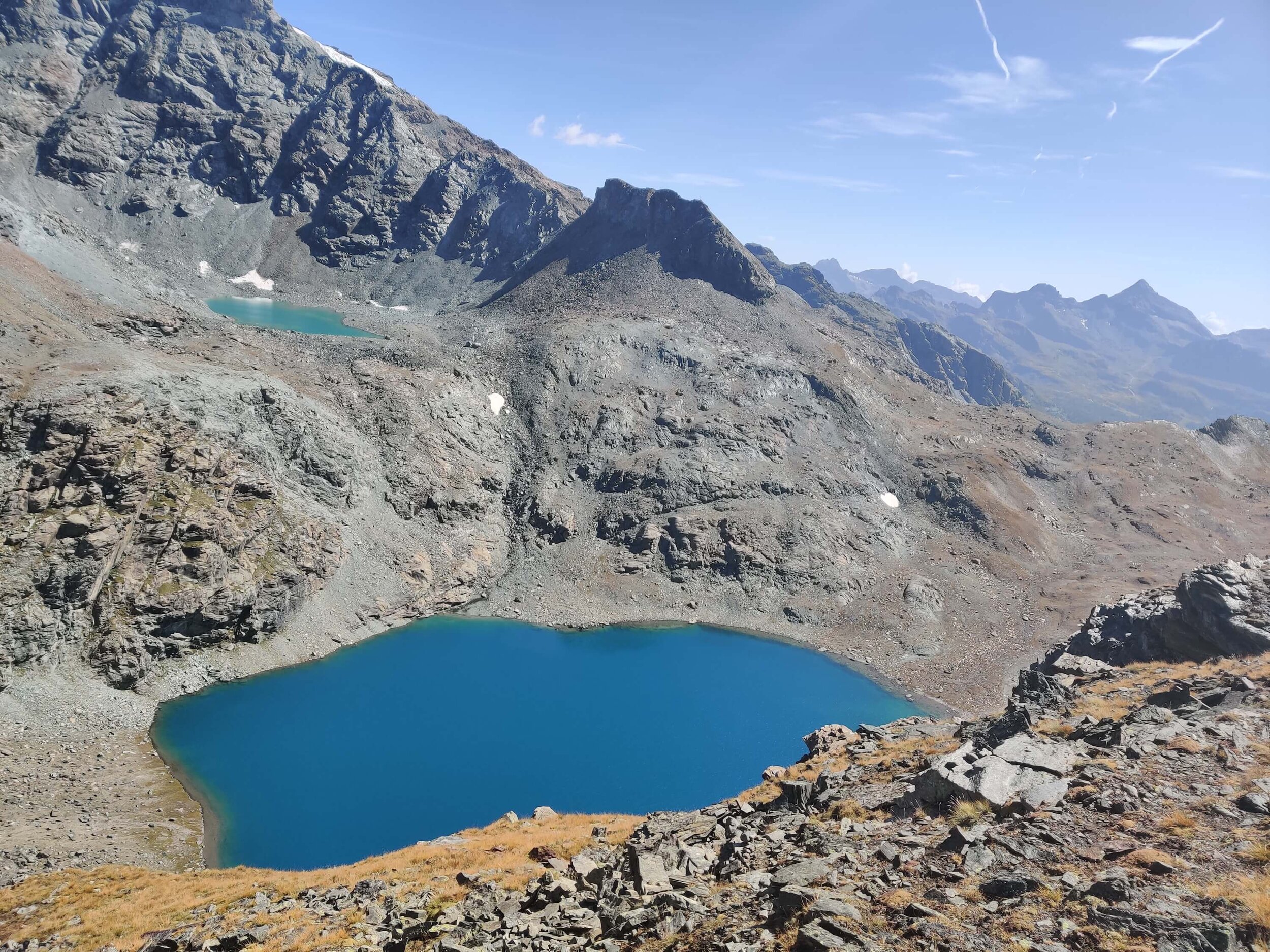
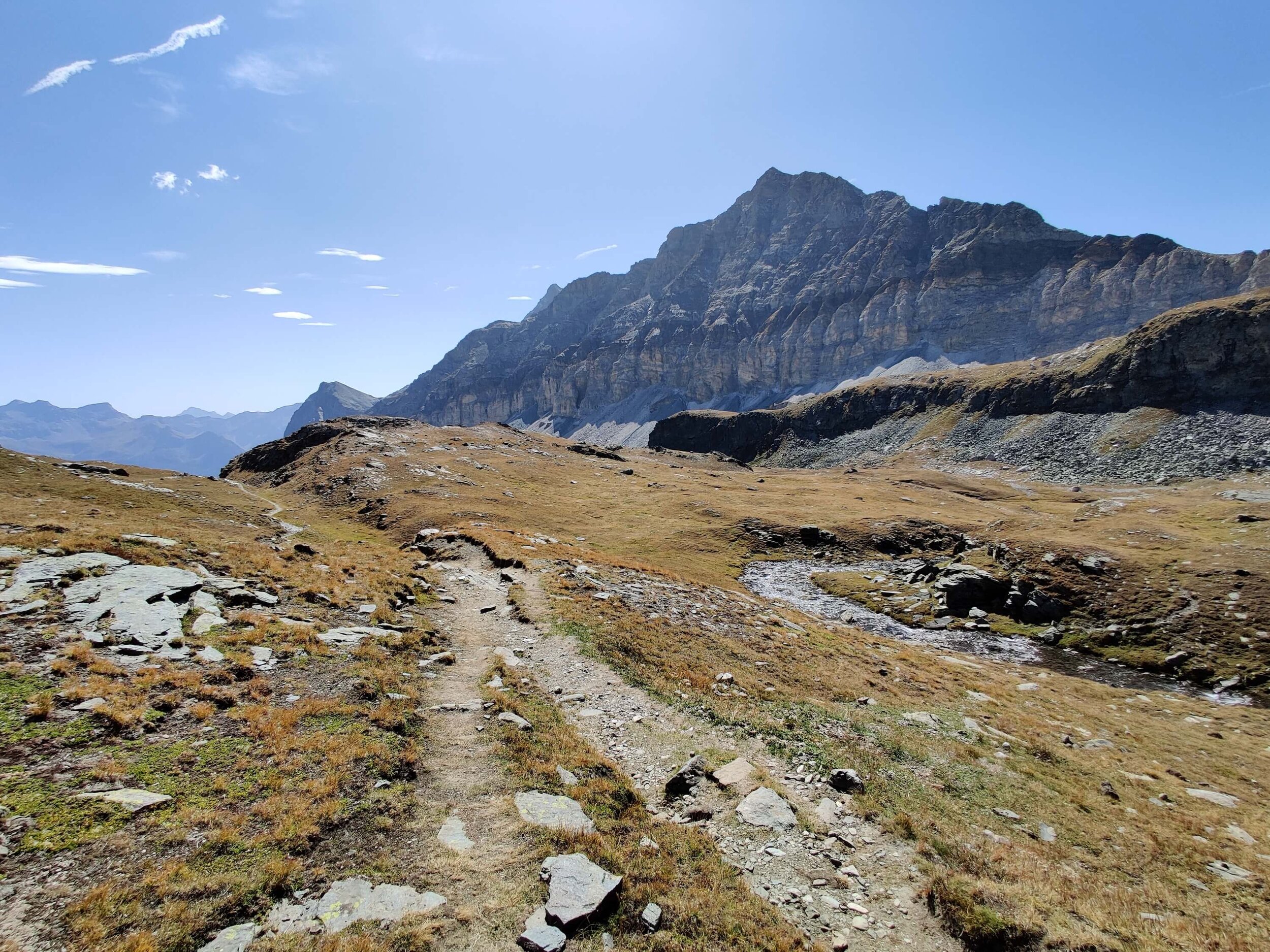
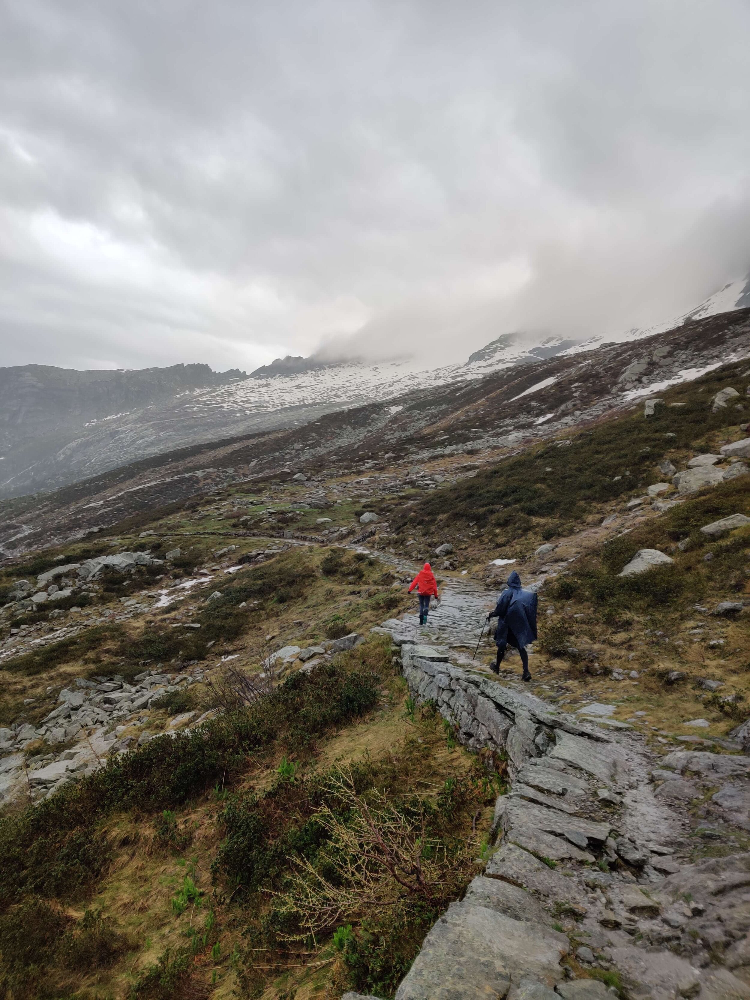
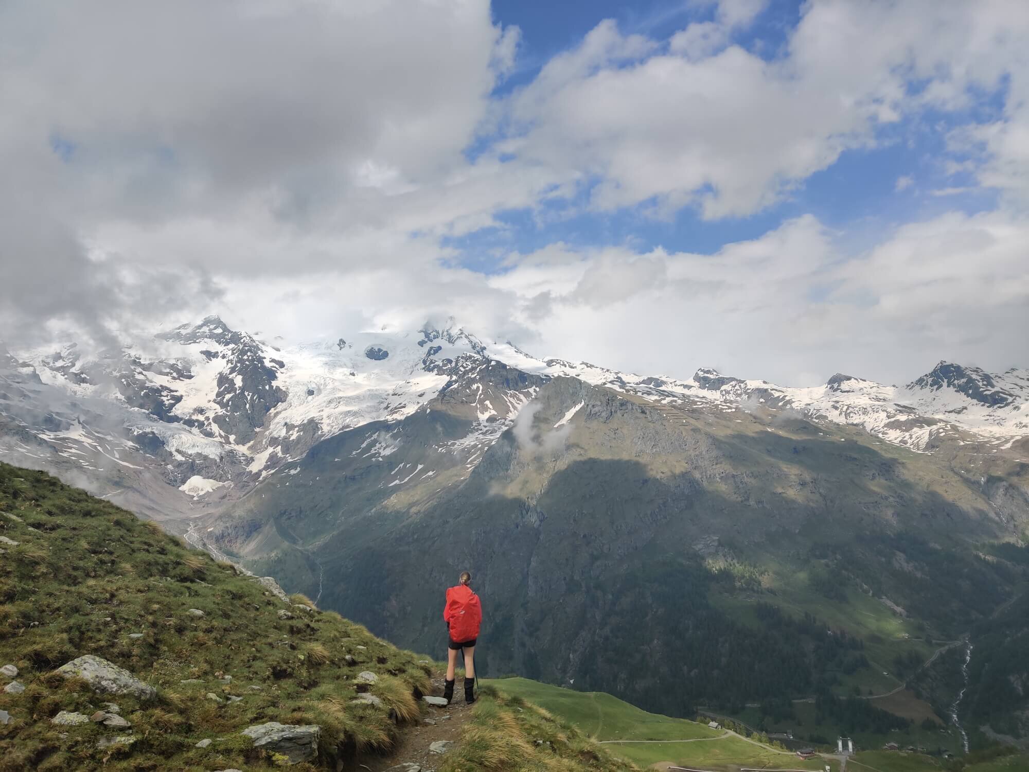
Trail Description: From Resy the trail climbs up through the trees until you reach alpine meadows and flowing rivers. There is a beautiful rock staircase and walkway to cross one of the larger waterfalls. The trail then climbs alongside the Cime Bianche range and the Matterhorn finally comes into view. Entering the Breuil-Cervinia ski resort to reach the Theodulpass (3,297m / 10,817ft). Be aware that snow is likely to be on trail during early season, particularly close to Theodulpass.
Difficulty: Mountain Trail
Is there an alternate route? Yes, the Ventina Glacier Trail is an alternate route within the Breuil-Cervinia ski area as a direct route to Theodulpass.
Transport Shortcut: Cable Car between Cime Bianche Lift and Rif. Guide del Cervino.
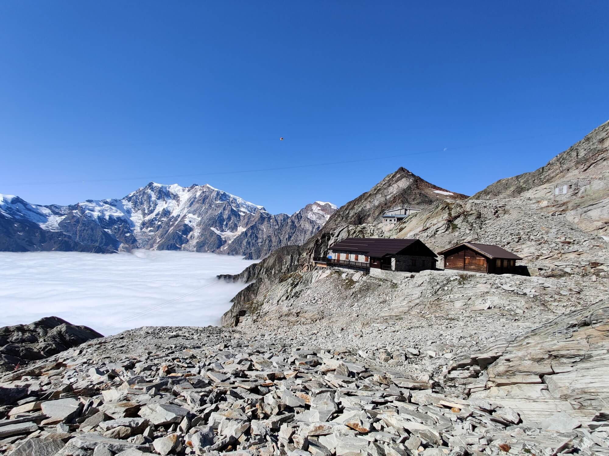
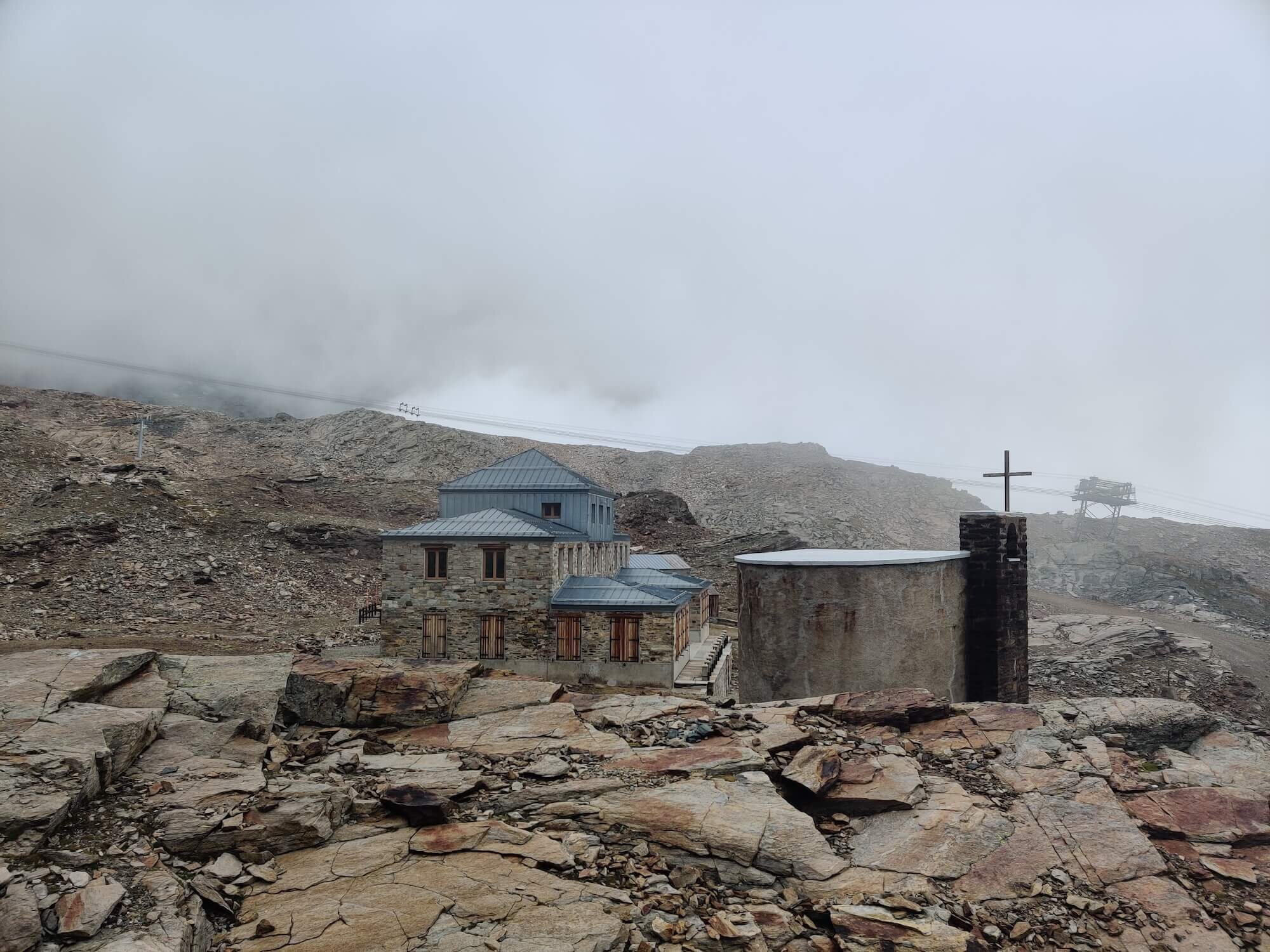
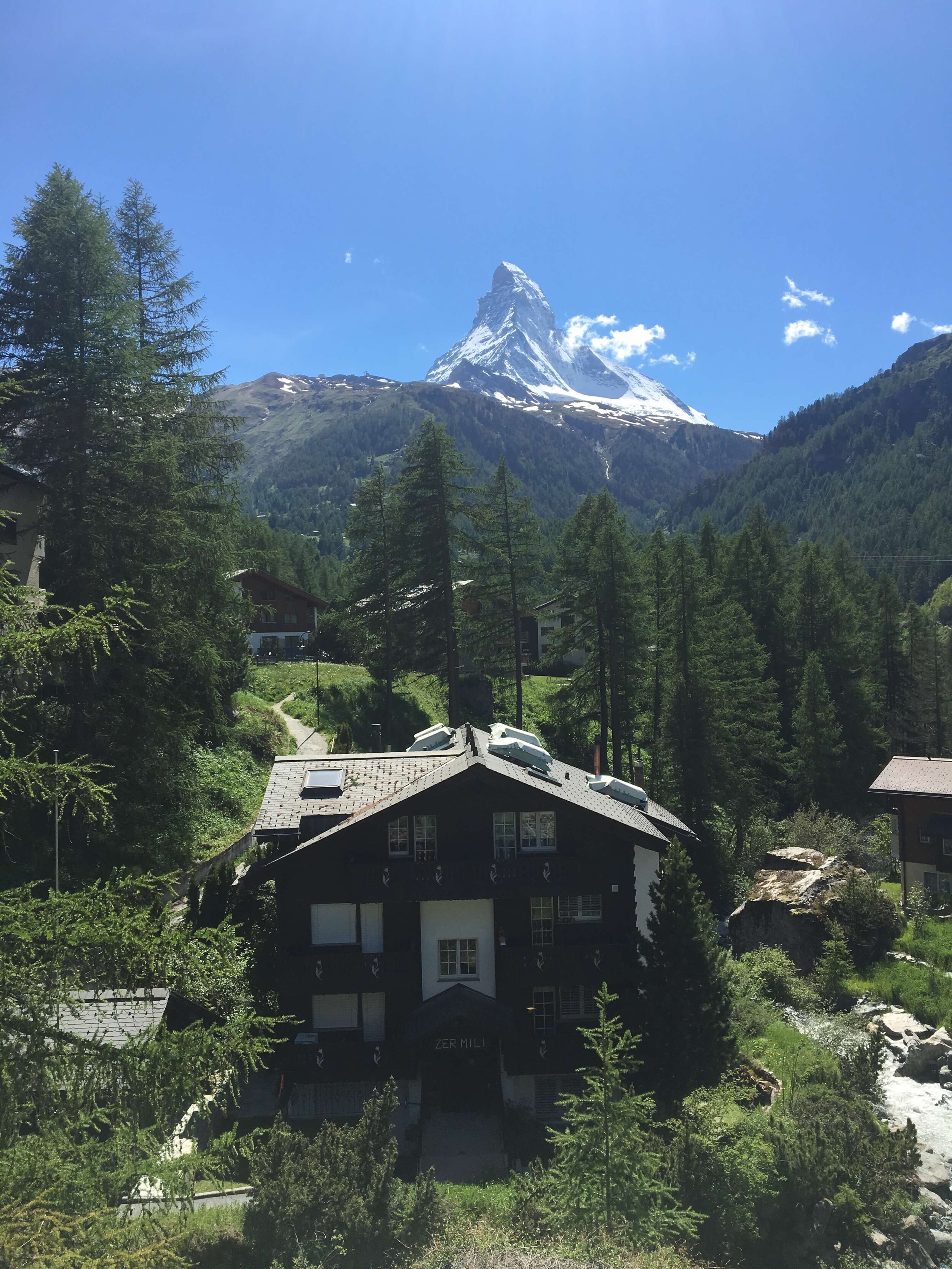
Theodul Glacier and Zermatt Trail
Between Theodulpass and Zermatt
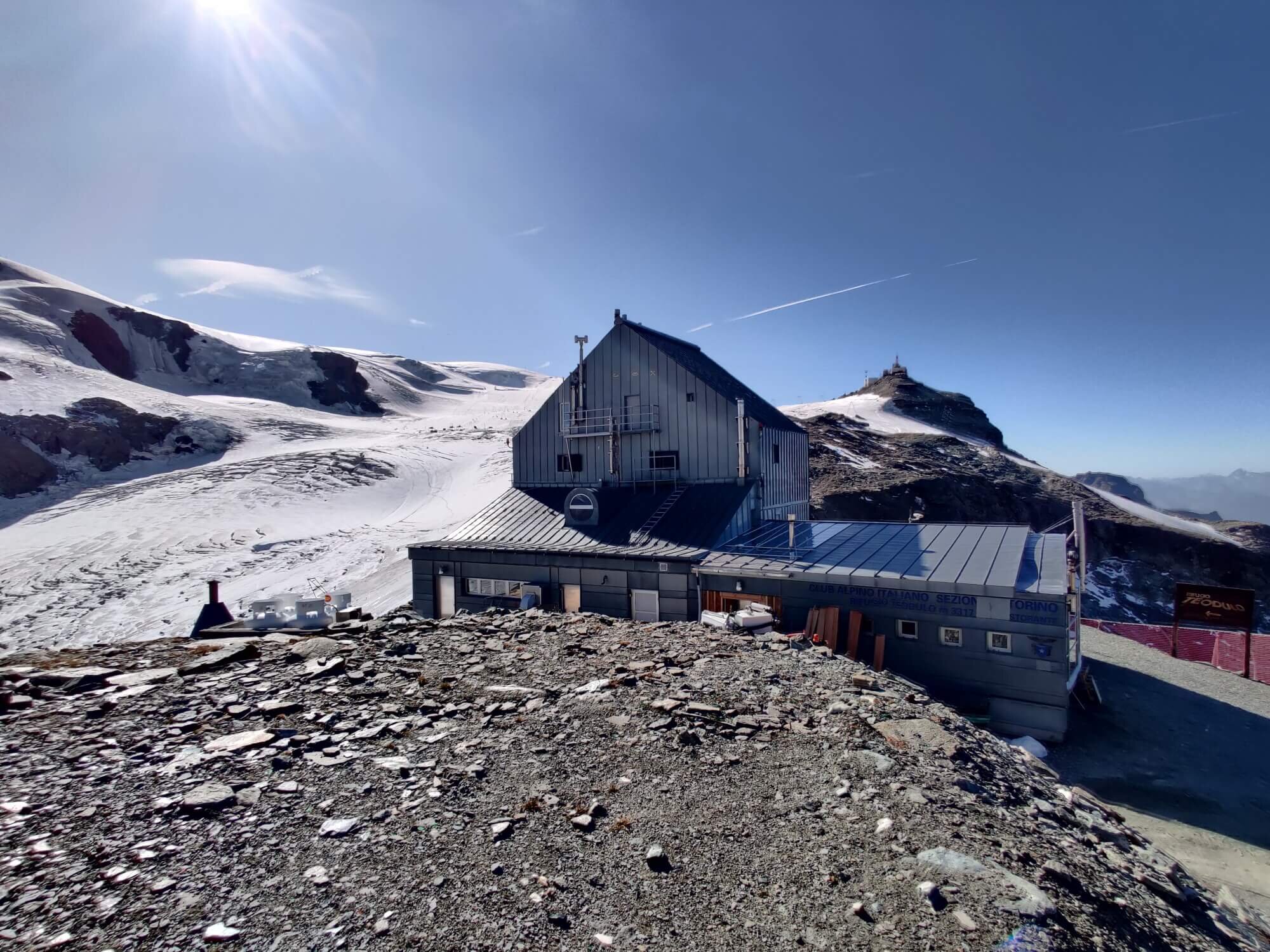
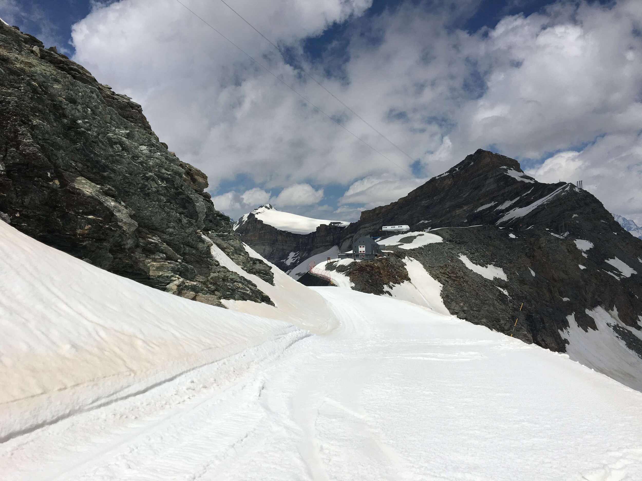
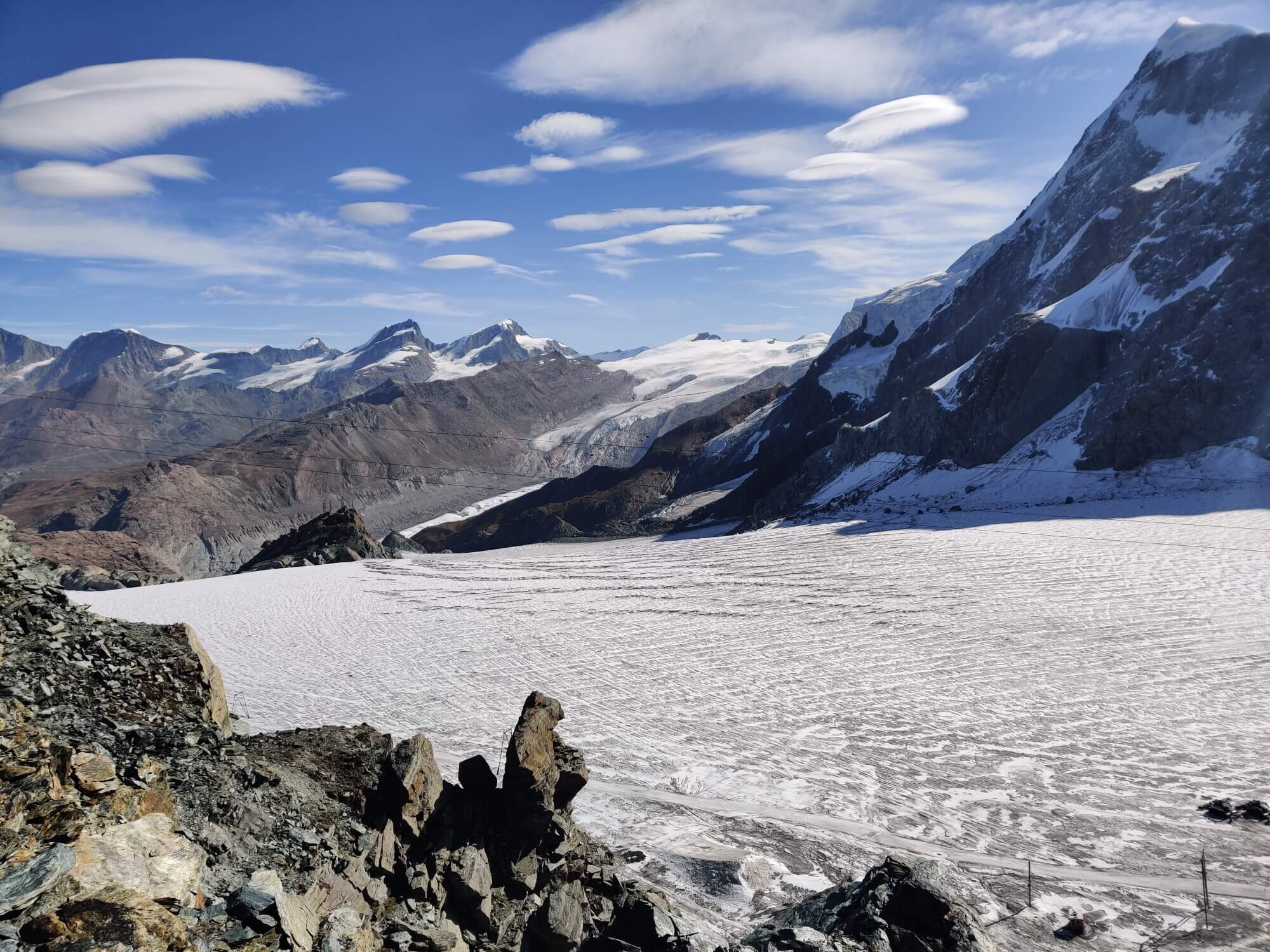
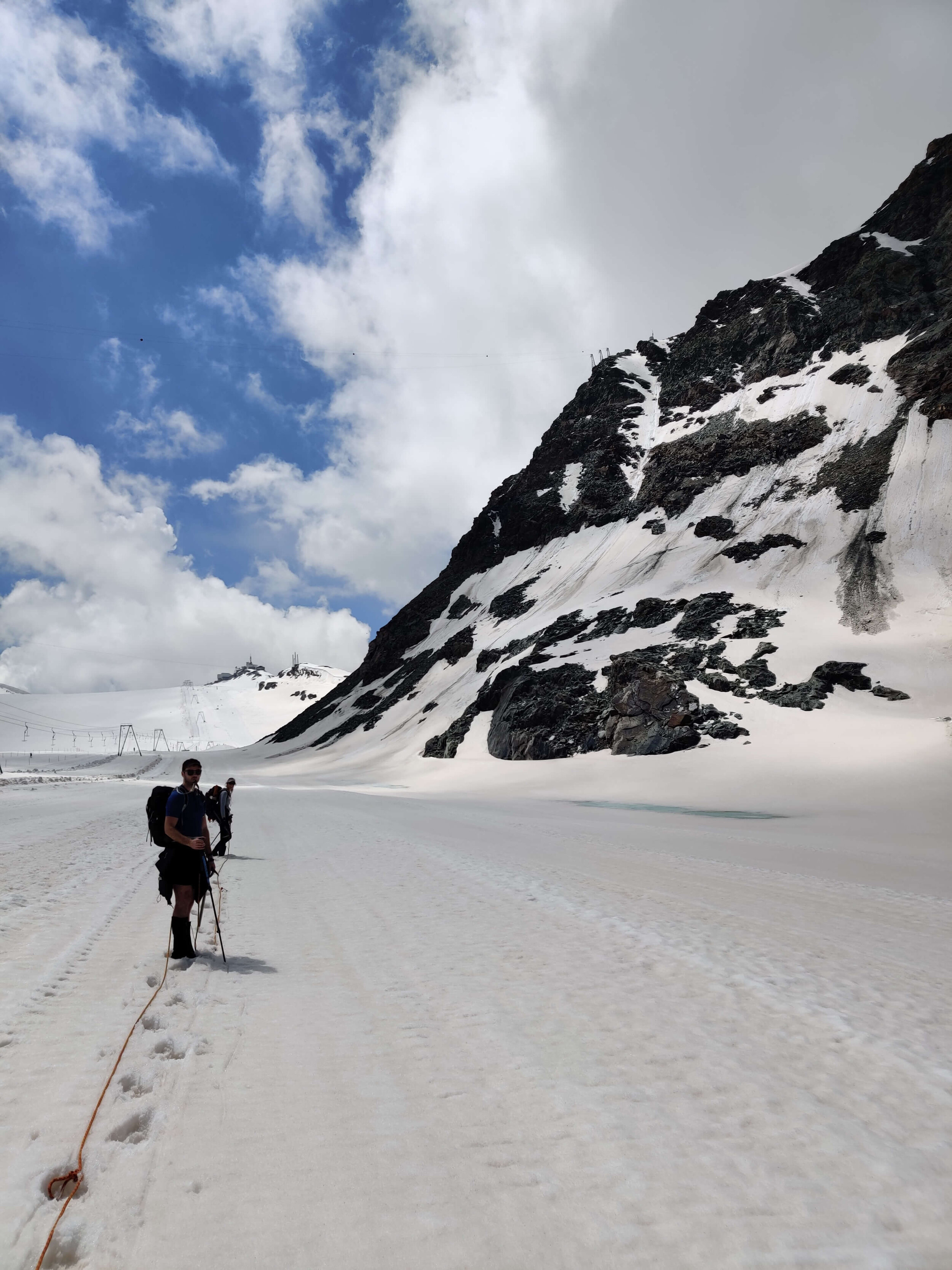
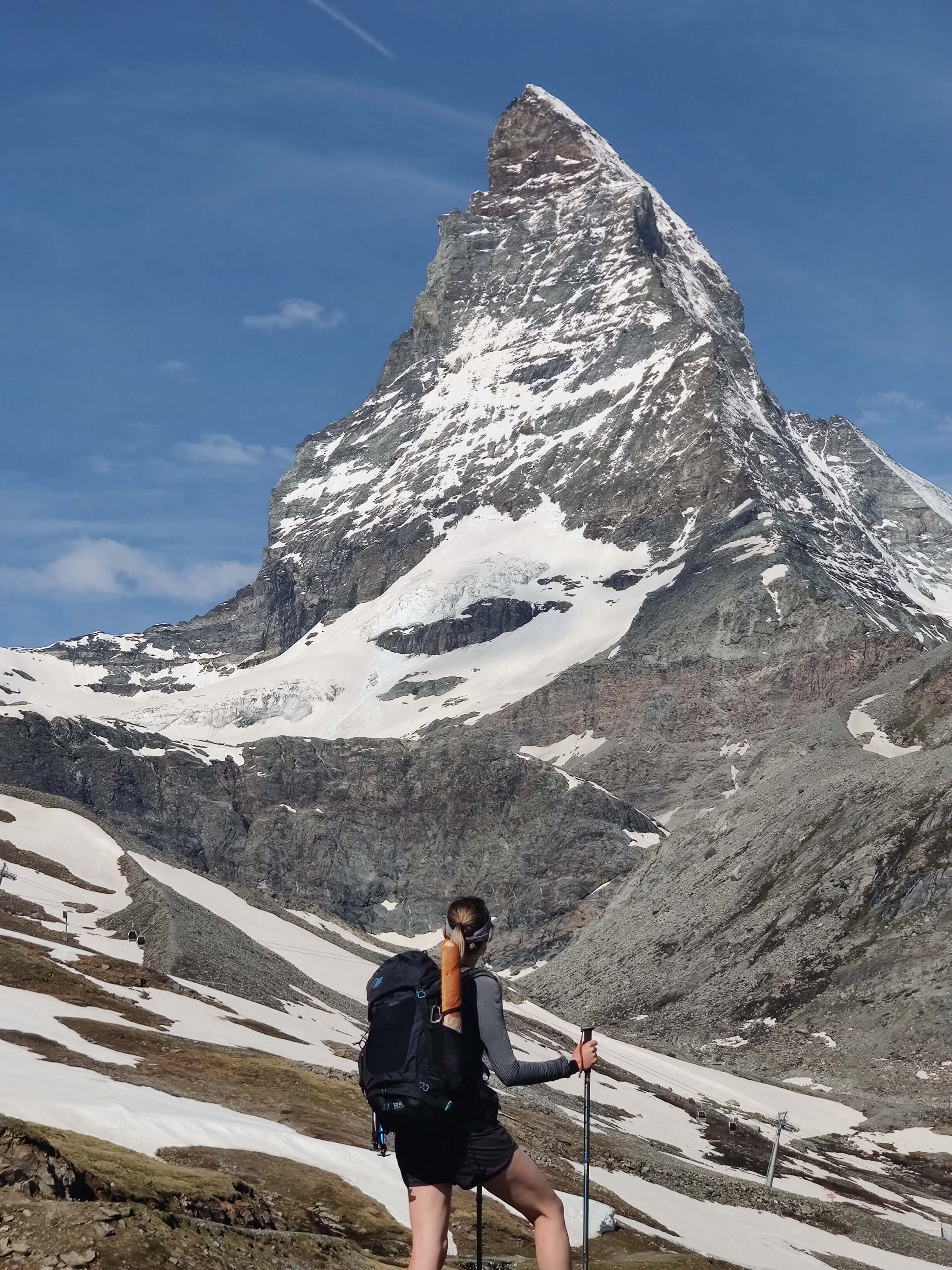
Trail Description: From Theodulpass the trail requires hikers to cross the Theodul glacier. There are no trail markings and therefore hikers are required to choose their route carefully. Despite this being a relatively flat and stable glacier without large crevasses, caution should still be taken. We recommend hiring a guide for this section of the trail and they will inform you of the best time window to cross the glacier based on the date of your tour and weather/glacier conditions, and provide you with the required gear for the crossing (rather than carry it for your full tour). Once you cross the Theodul glacier, the trail ascends through the Zermatt ski resort, passing through small hamlets where small cafes compell hikers to stop for a snack in the sun before arriving in Zermatt, the famous Swiss mountain villages that offers spectacular views of the Matterhorn.
Considerations:
Glaciers are best crossed in the morning before the summer sun speeds up the melt and creates weaknesses. Those hiking in a counter-clockwise direction need to consider what time they will be able to reach the Theodul glacier from Zermatt, given it is 11km / 6.8mi with 1,570m / 5,151ft elevation gain to the glaciers edge. Luckily, for those open to taking some transport on their tour, it is possible to catch a gondola from Zermatt to Trockener Steg which is only 1.6km / 1mi with 250m/ 820ft elevation gain from the Theodul glacier.
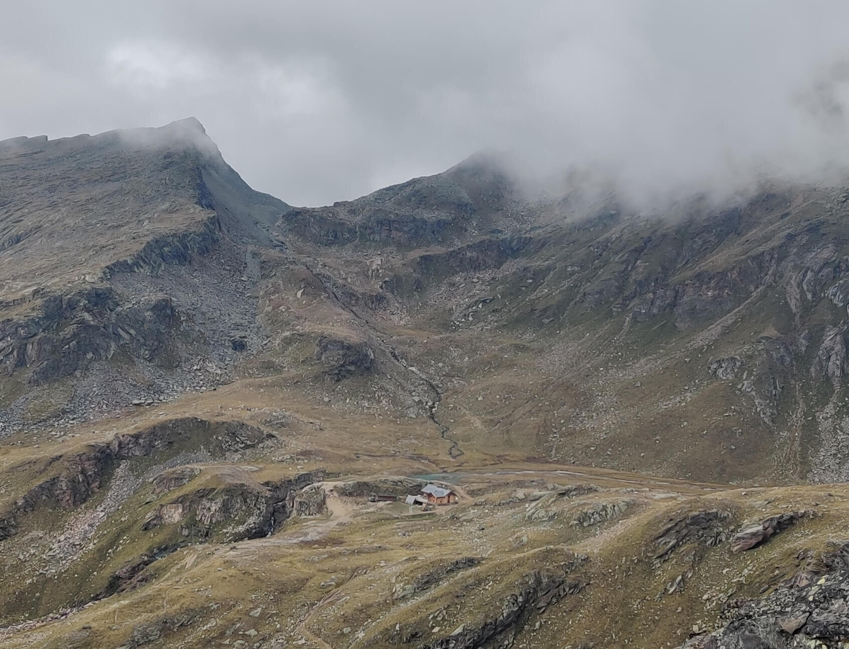
For those hiking counter-clockwise, there are two alpine huts at the Theodul pass which you can stay at before crossing the glacier first thing in the morning.
Ensure you have the appropriate equipment which includes crampons, climbing harness, 1 rope per group of 4 and suitable clothing. For hikers that don’t have the experience and specialized gear to safely cross a glacier, a guide can easily be hired from either the Italian or Swiss side to support safe passage across this section.
Difficulty: Combination of Alpine and Mountain Trail.
Is there an alternate route? Yes, the Hornli Hut Trail is an alternative route within the Zermatt ski area, diverting and rejoining between Trockener Steg and Furi Lift Stations. Note: This alternate route does not skip the Theodul glacier.
Transport Shortcut: Gondolas between Trockener Steg Lift Top and Zermatt.
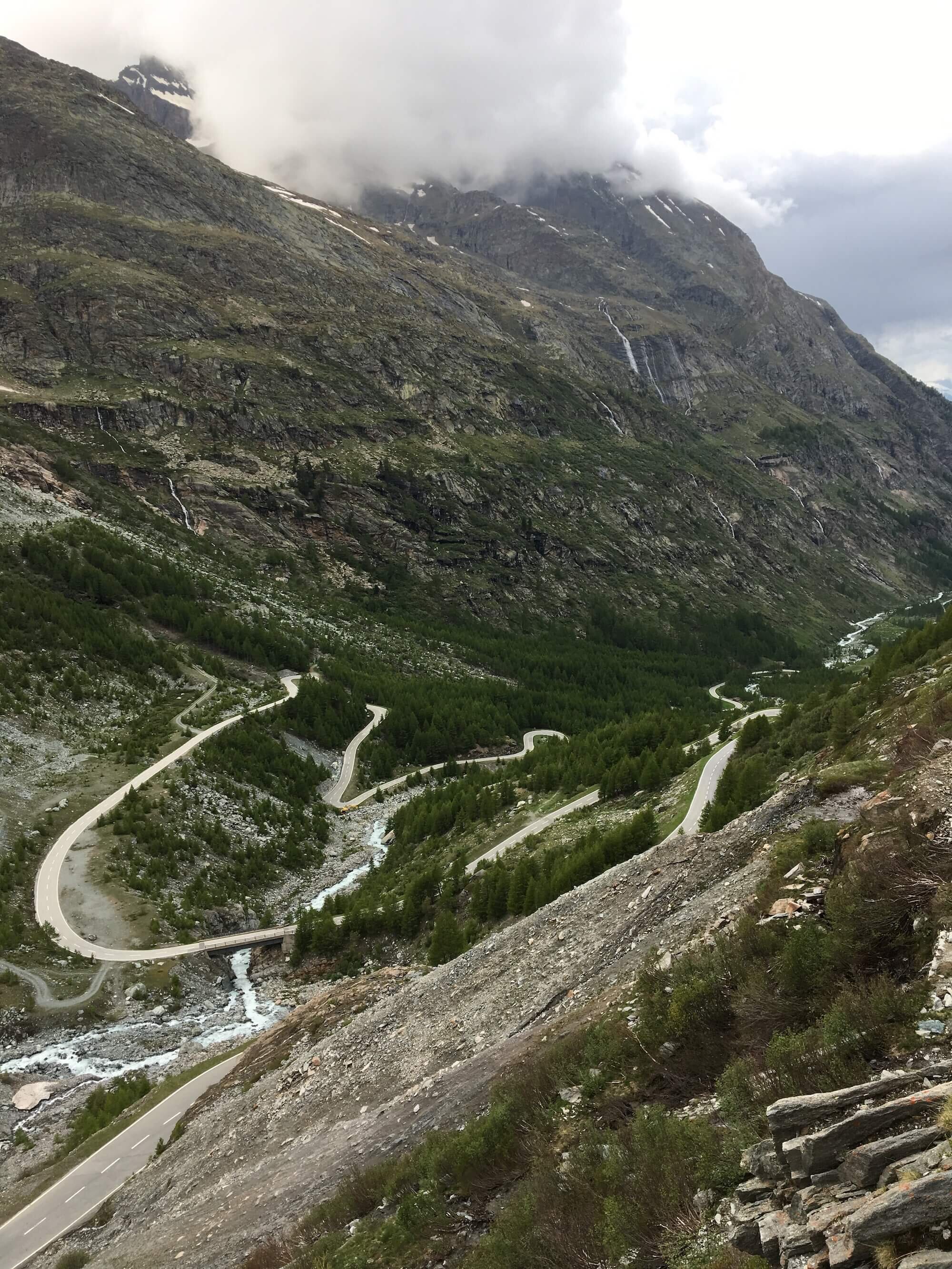
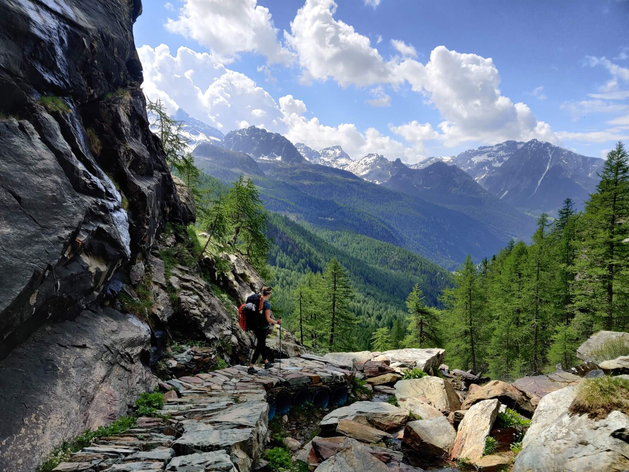
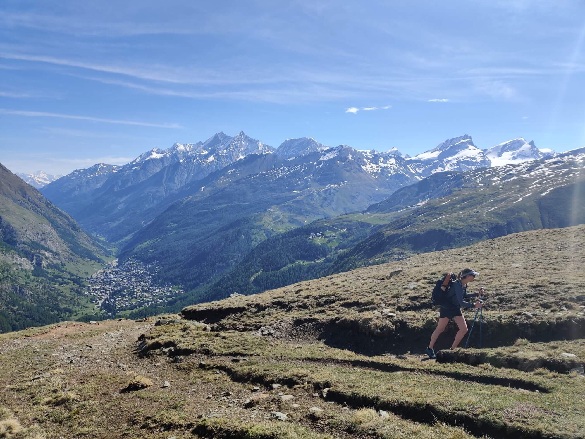
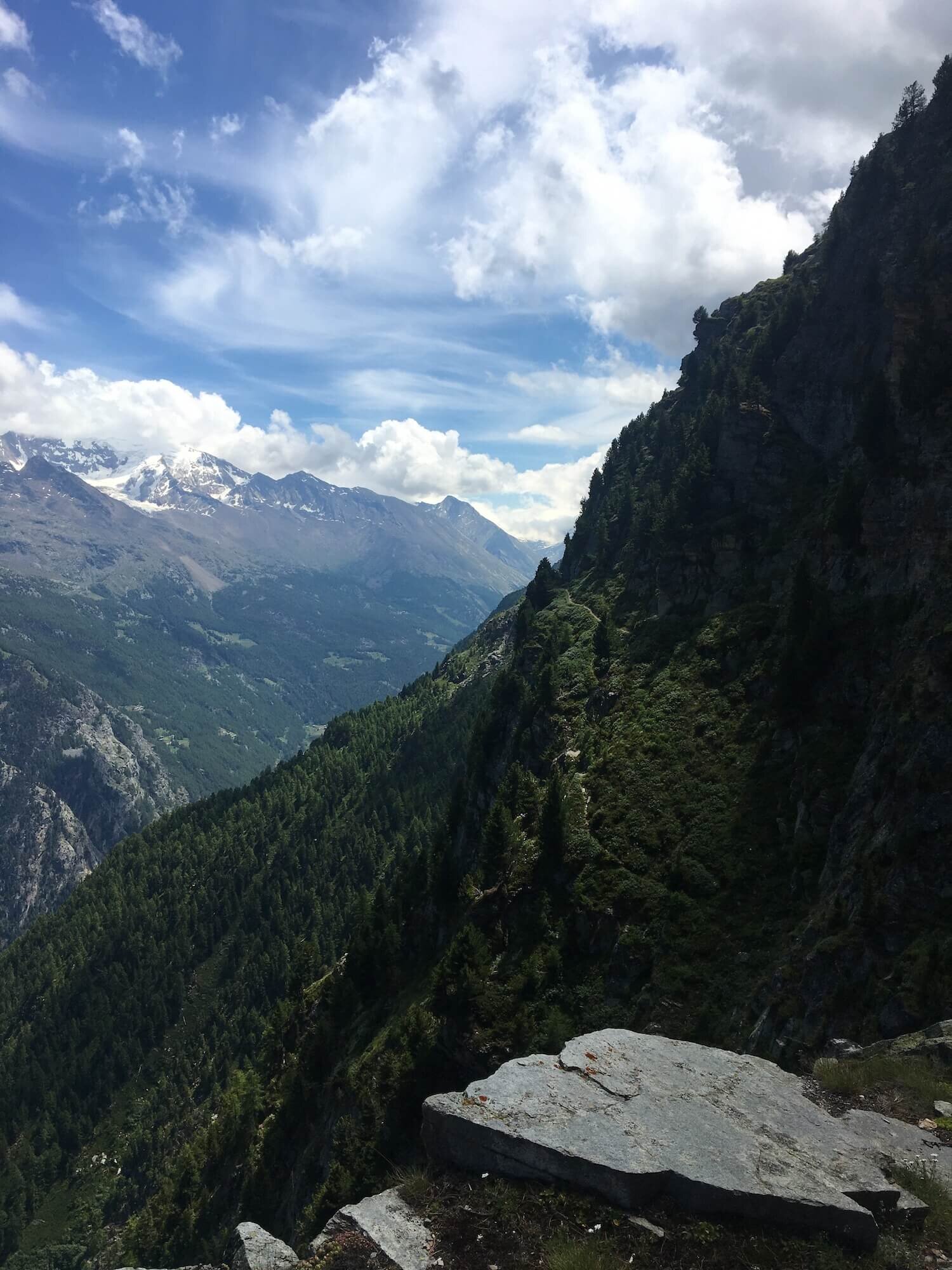
Europaweg Trail
Between Zermatt and Grachen
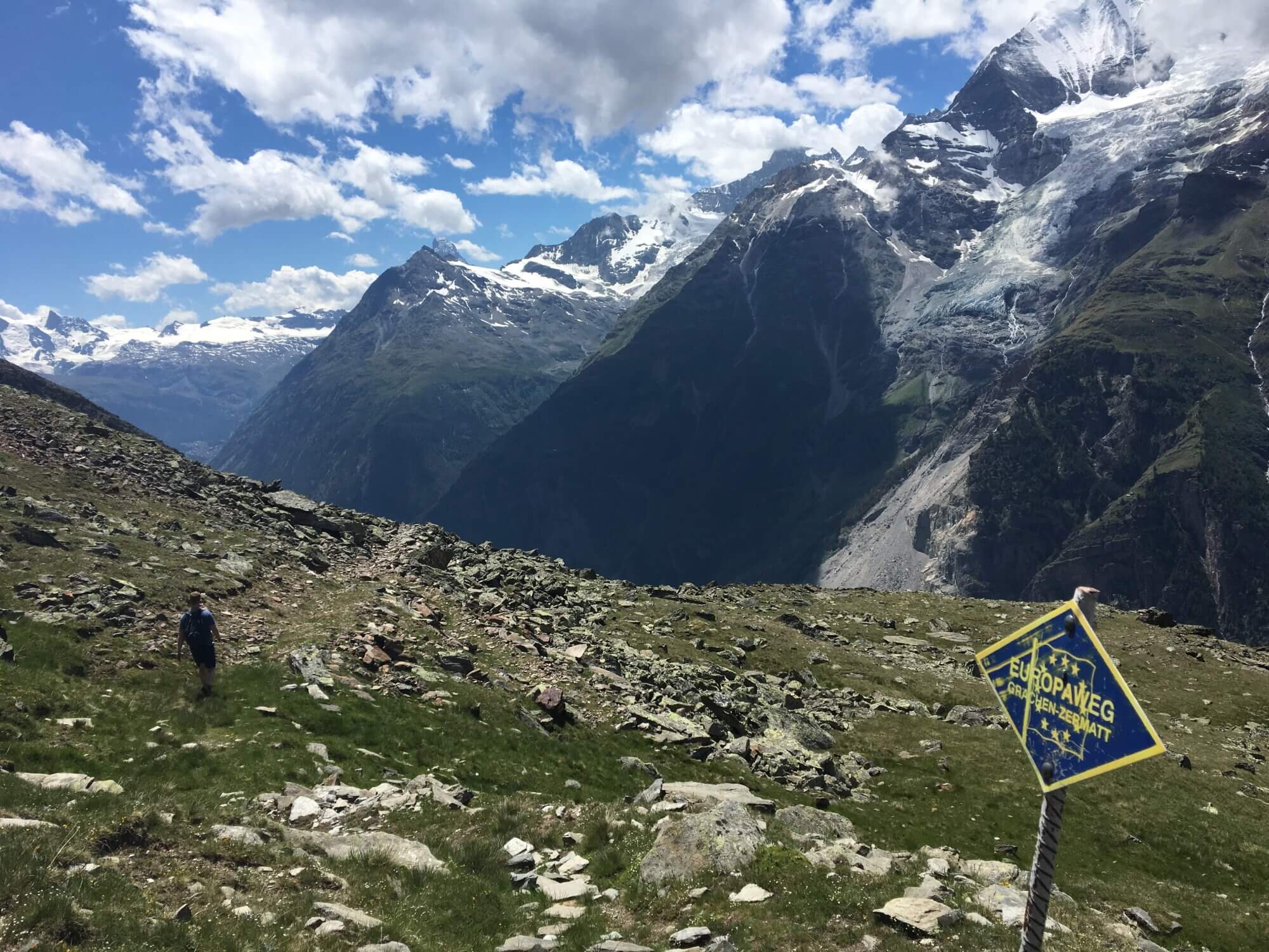
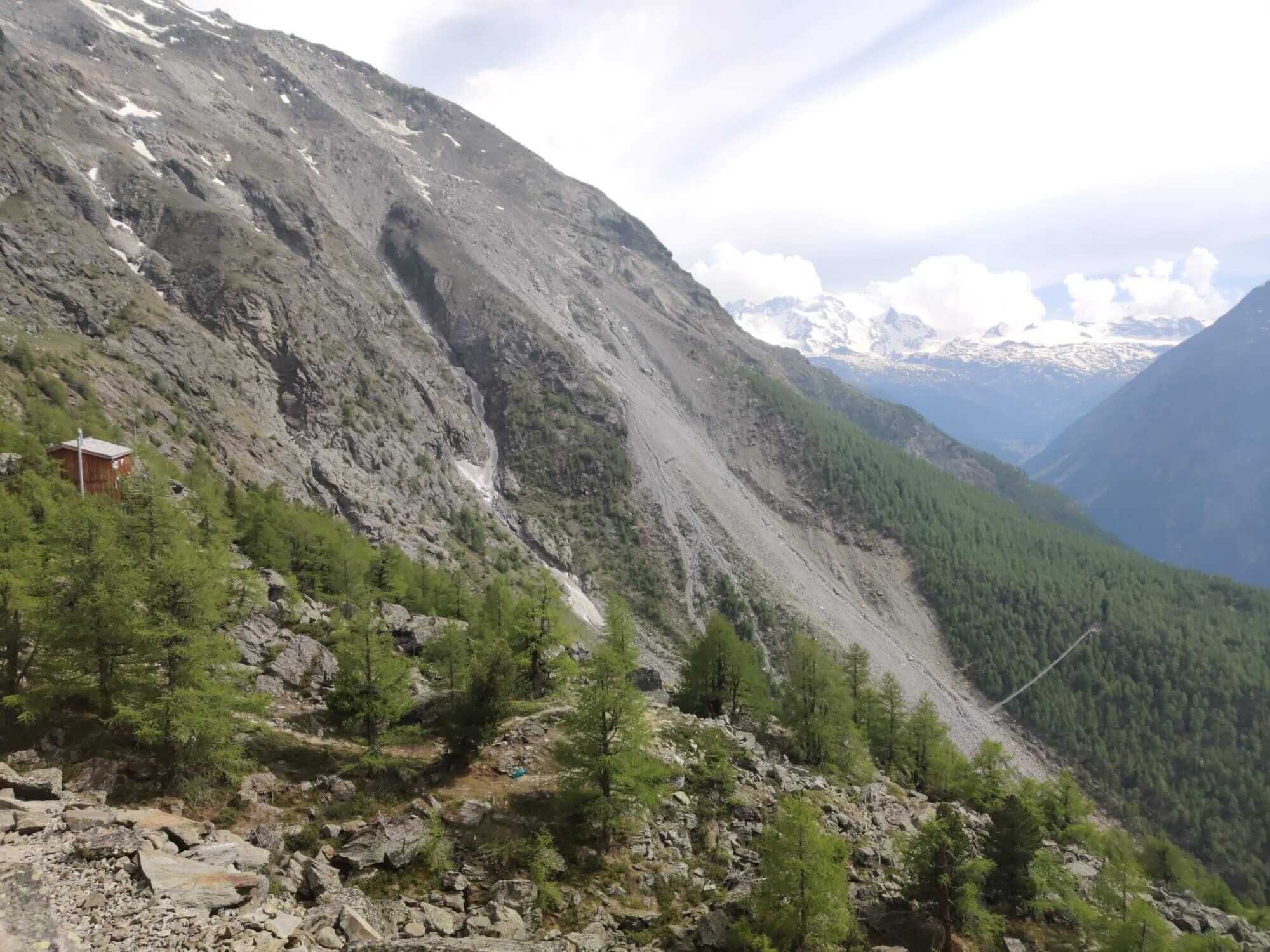
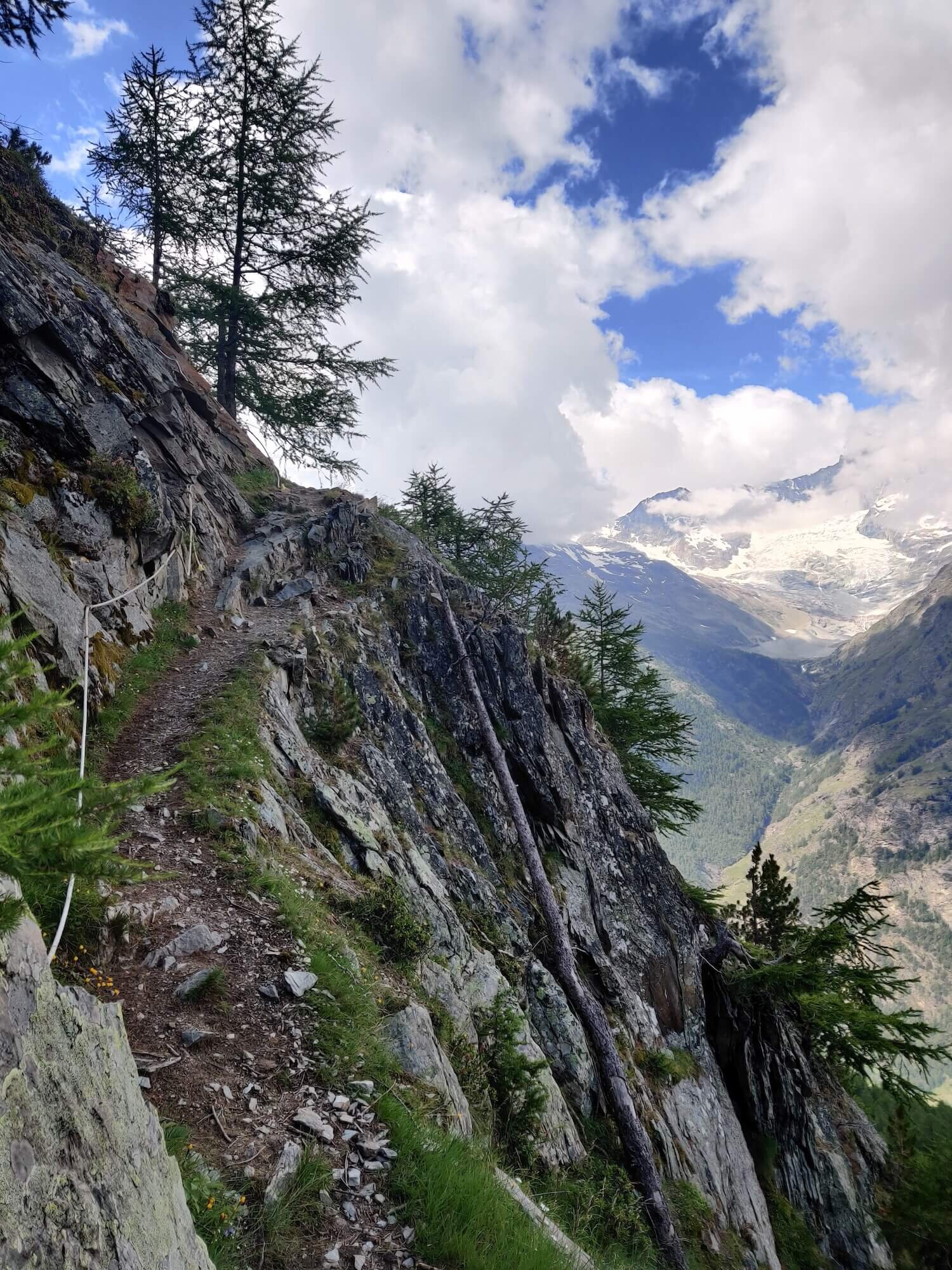
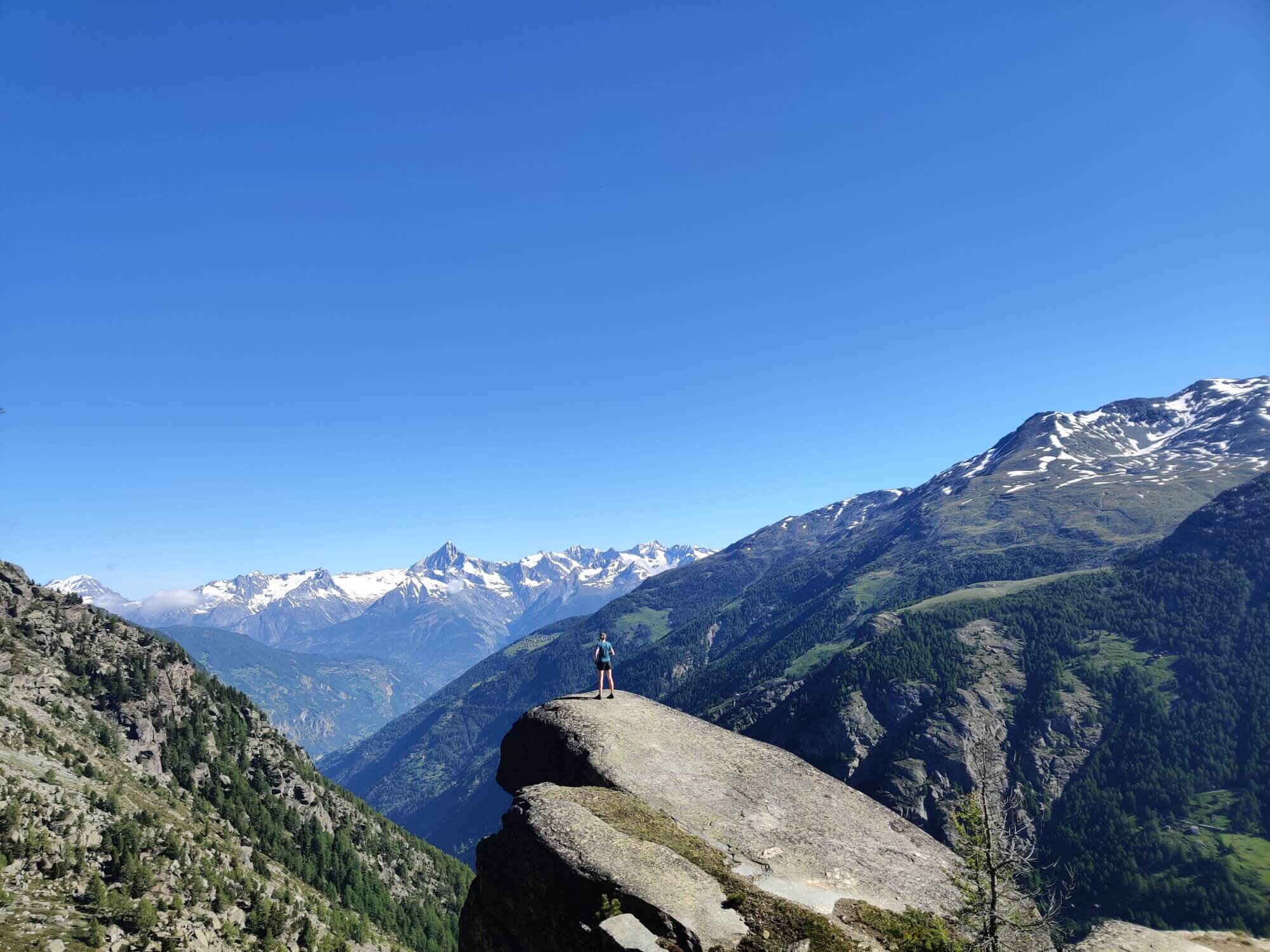
Trail Description: From Zermatt, the main route climbs up onto the Europaweg balcony trail that follows the upper Mattertal valley section. It features the best views of the Matterhorn as you wave goodbye and mountains such as the Weisshorn that line the opposite side of the valley, a suspension bridge crossing of almost 500m, and some breathtaking exposure.
A new Europaweg section was opened at the beginning of 2021 to take hikers between the Europaweg balcony trail and Herbriggen. Previously, the trail continued along the balcony to Galenburg before the descent to the valley but it now diverts closer to Europahutte on a safer route.
The lower valley section connects Herbriggen with Grachen on a route mostly through the forest. This is a revised route that has only been in place for a few years since the permanent closure of the original trail via Grat due to ongoing rockfalls. If you stay in St Niklaus, most people will hike along the Mattertal valley and join/leave the Europaweg trail at Herbriggen.
The Europaweg trail is a standalone highlight and popular with weekend hikers as it can be completed in two days.
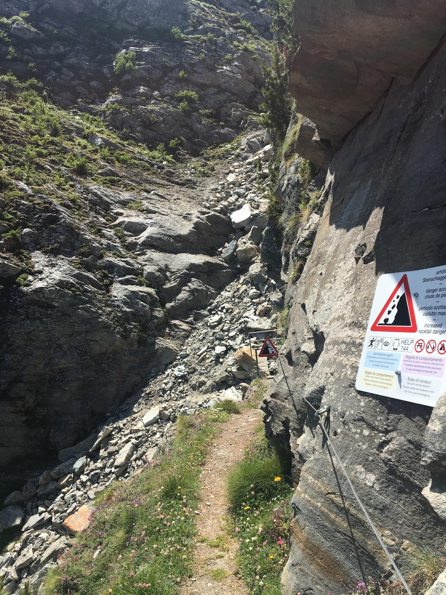
Difficulty: Mountain and Hiking Trail. The balcony trail is a well-maintained trail but there are still narrow sections and cables at times, boulder crossings, exposure, and an increased risk of rockfall impact.
Is there an alternate route? Yes, the Mattertal Valley Trail diverts and rejoins between Zermatt and Grachen.
Transport Shortcuts:
Train between Zermatt and Herbriggen
Train and bus between Herbriggen and Grachen
Funicular between Zermatt and Findeln Junction
Considerations: The bridges that allow passage along the Europaweg trail are installed at the end of June (typically last weekend) so this section is impassable until this time.
Hohenweg Trail
Between Grachen and Saas Fee
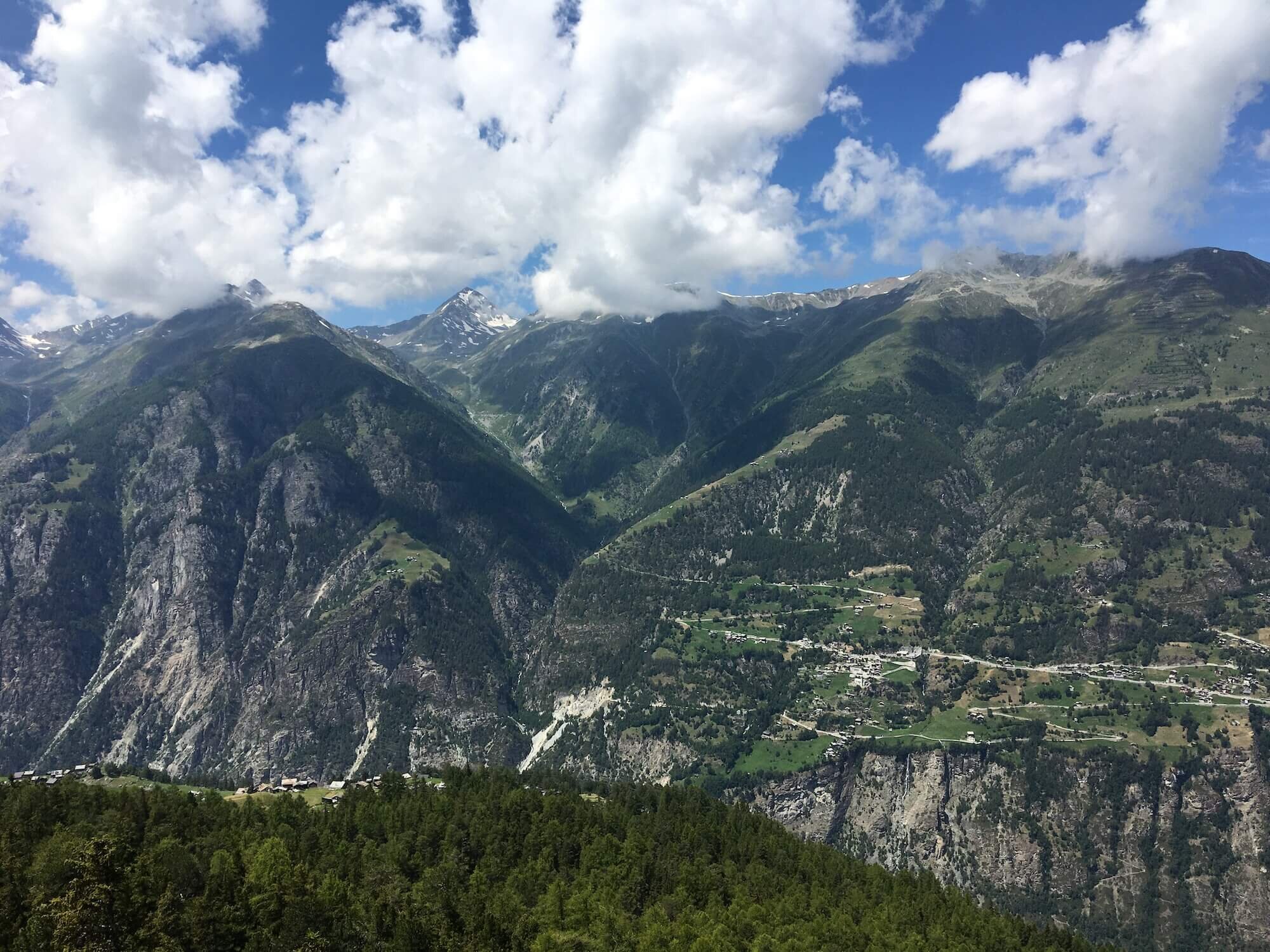
Trail Description: From Grachen, the trail climbs up through the forest within the ski resort with beautiful views back across the Mattertal valley. It then “turns” the corner at the most northern part of the Tour of Monte Rosa trail and enters the Saas Valley, following the Hoehenweg (high trail in German), a spectacular balcony trail that winds along the valley. Similar to the Europaweg trail, there is some spectacular exposure and boulder crossings. The trail descends through the trees and enters the Saas Fee mountain village.
Difficulty: Mountain Trail. It is a well maintained trail but there are still narrow sections and cables at times, boulder crossings, exposure and an increased risk of avalanche impact.
Is there an alternate route? No, this is the only route that connects Grachen and Saas Fee.
Transport Shortcut: Gondola between Grachen and Hannigalp.
If you made it this far, I hope you are inspired to plan your own Tour of Monte Rosa adventure! You won’t be disappointed.
- Brendan
Your Virtual Hiking Guide
READY TO START PLANNING YOUR OWN TOUR OF MONTE ROSA HIKE?

Everything you need to plan, book, prepare and navigate your adventure. This package includes;

Access a trail expert to prepare an itinerary that meets your needs.
This package includes;
Personalised itinerary designed by our trail expert