
Tour du Mont Blanc:
Main, Variant and Alternative Routes
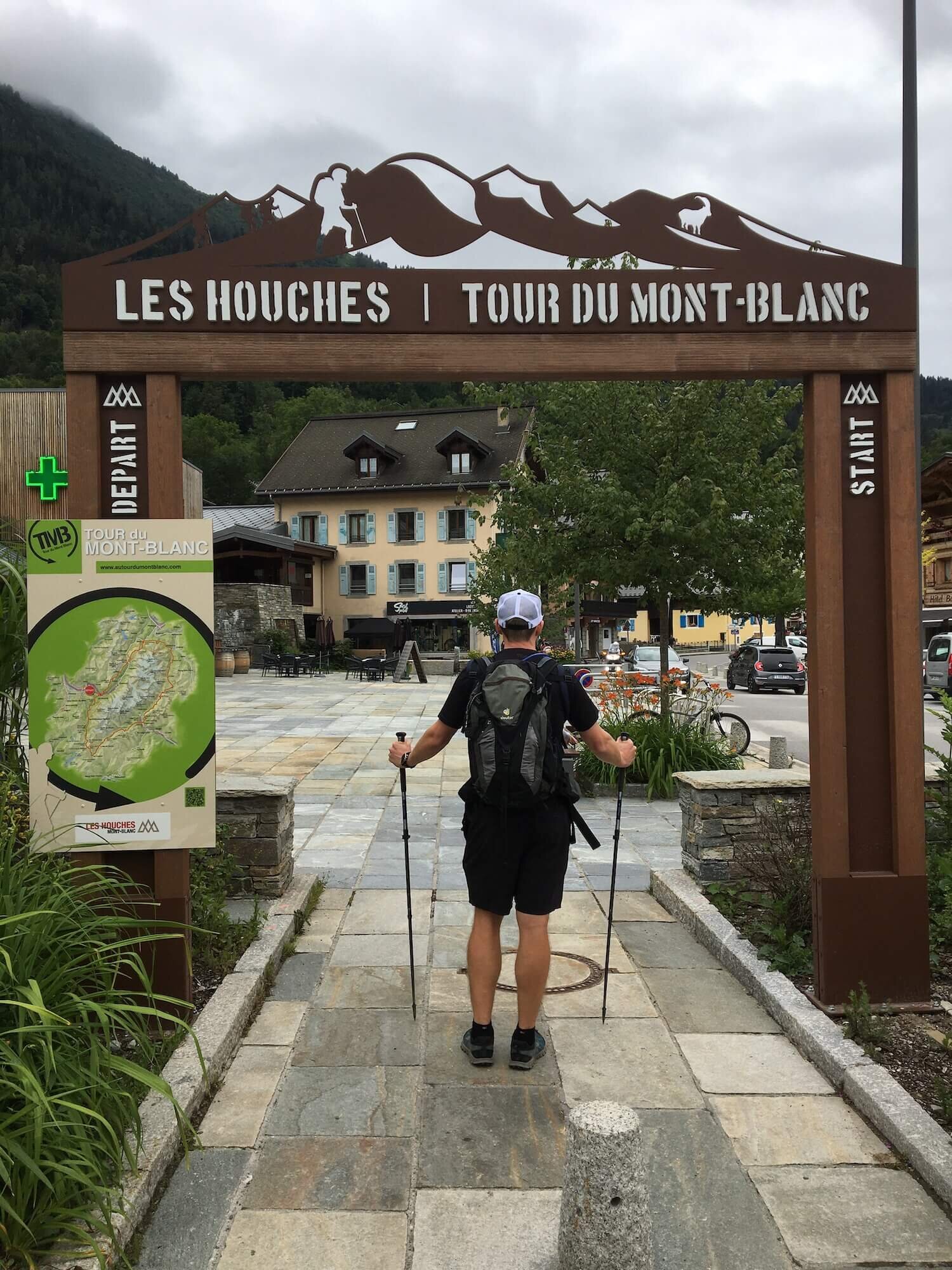
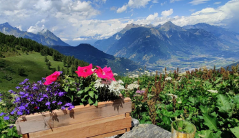
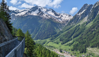
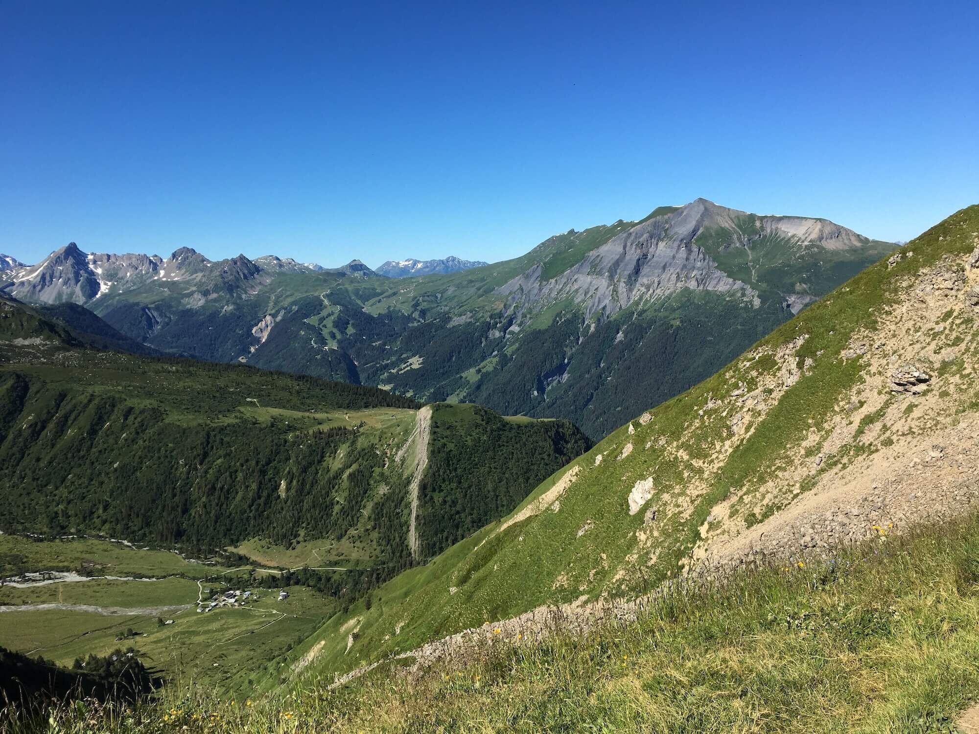
Tour du Mont Blanc is the most famous multi-day alps hiking journey in Europe. Mont Blanc, or “White Mountain”, is the highest mountain in the European Alps at an imposing 4,810m (15,781 ft). The tour follows well-maintained trails through France, Italy, and Switzerland as it leads hikers around the Mont Blanc massif.
For those that haven’t hiked in the Alps before, it is important to understand that the Alps offer a network of trails. There are countless trail junctions that offer different - or alternate - routes while hiking around Mont Blanc.
As with all multi-day legendary trails in the Alps, there is a “main / classic” route and then many variants, shortcuts, and detours for hikers to choose from. The main route is:
Distance: 166km / 103mi
Elevation gain: 10,000m / 32,700 ft
Highest point: 2,526m / 8,287 ft
Number of mountain passes/peaks crossed: 10
Number of days: 10-11 days (at Steady pace)
Many TMB hikers choose to take one or more alternate routes along their journey to include a specific highlight (such as Le Tour Glacier), stay at a prominent accommodation option (such as Lac Blanc) or take a more direct route (such as Col des Fours).
Find below a list of the popular main and variant routes for the Tour du Mont Blanc, all of which are included within our new planning app for hikers to include in their self-guided hiking itinerary.

Main trail routes
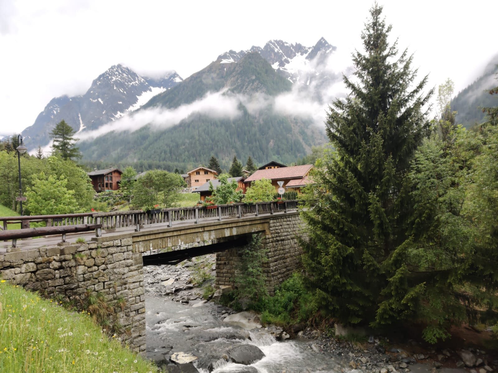
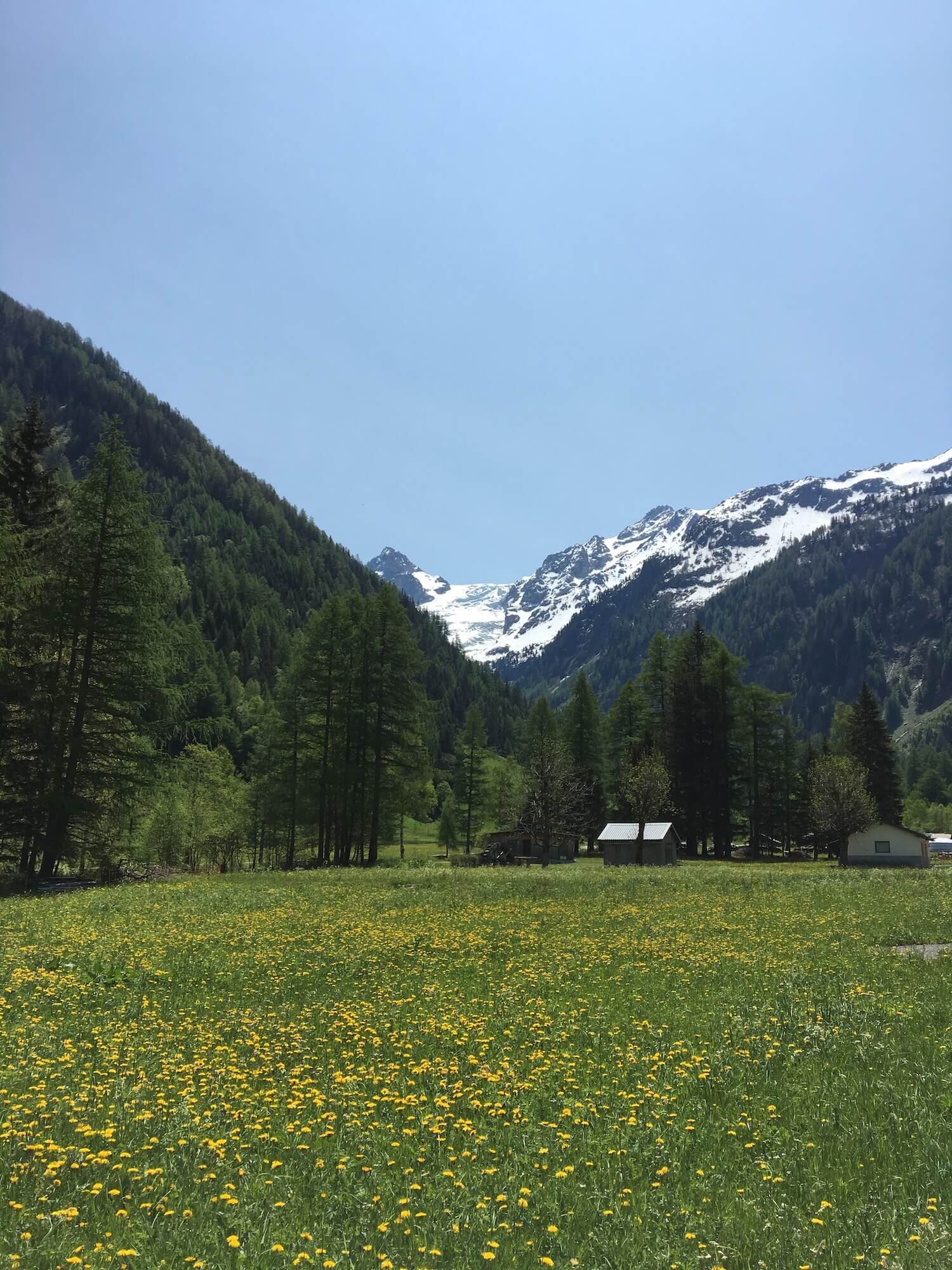
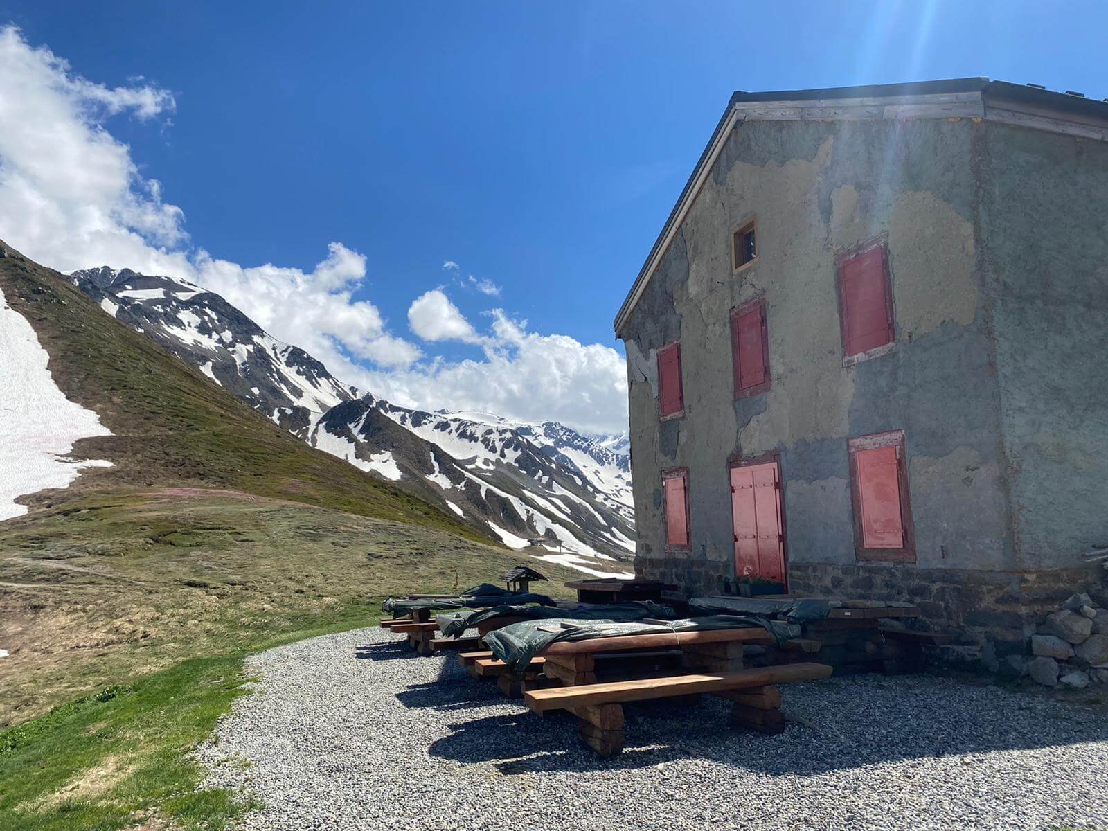
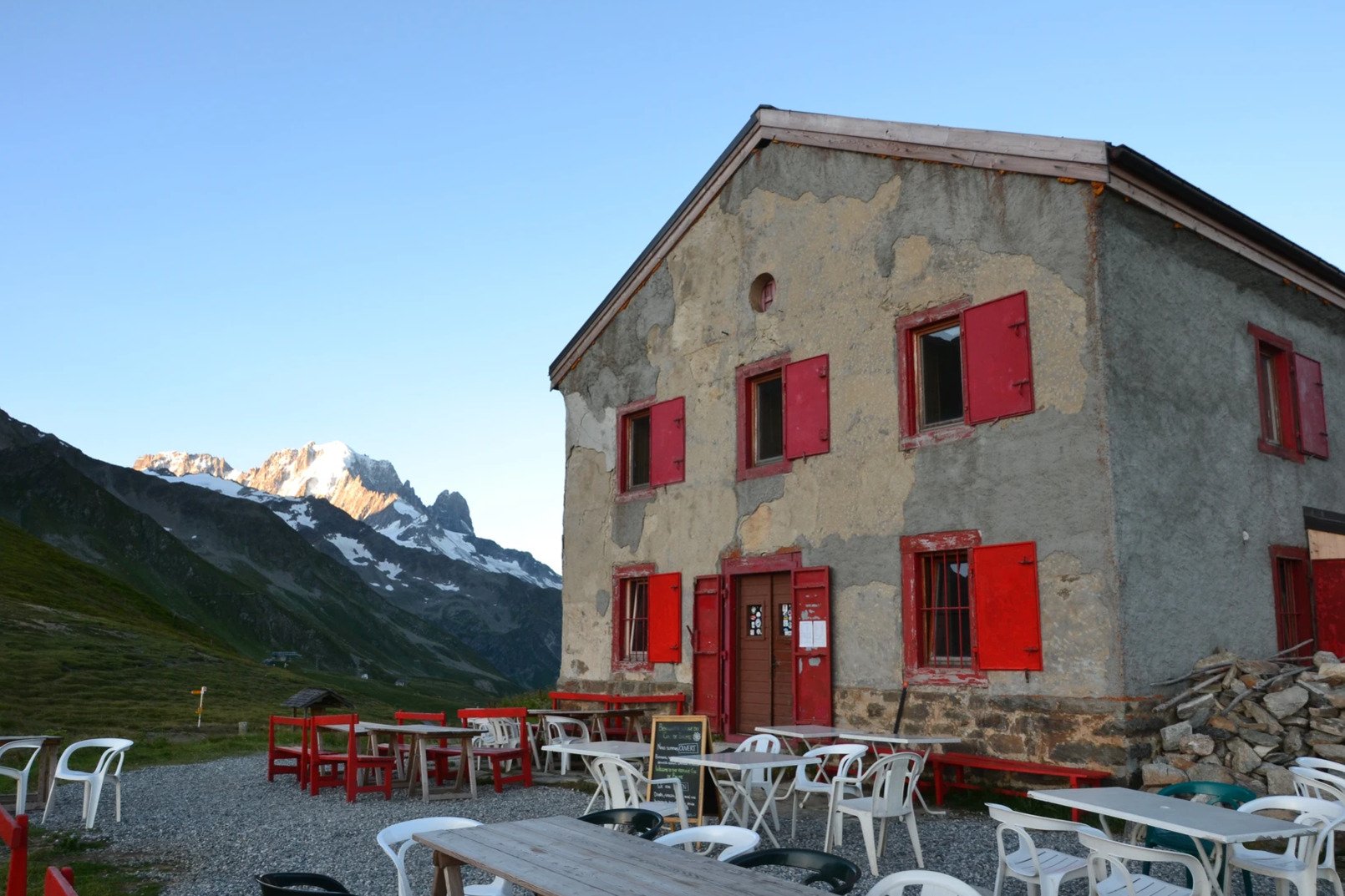
This trail passes through trees, several hamlets, and farmland as it follows the valley. There are several refuges to stop for food, beverages, cake, and coffee.
Difficulty: Hiking Trail.
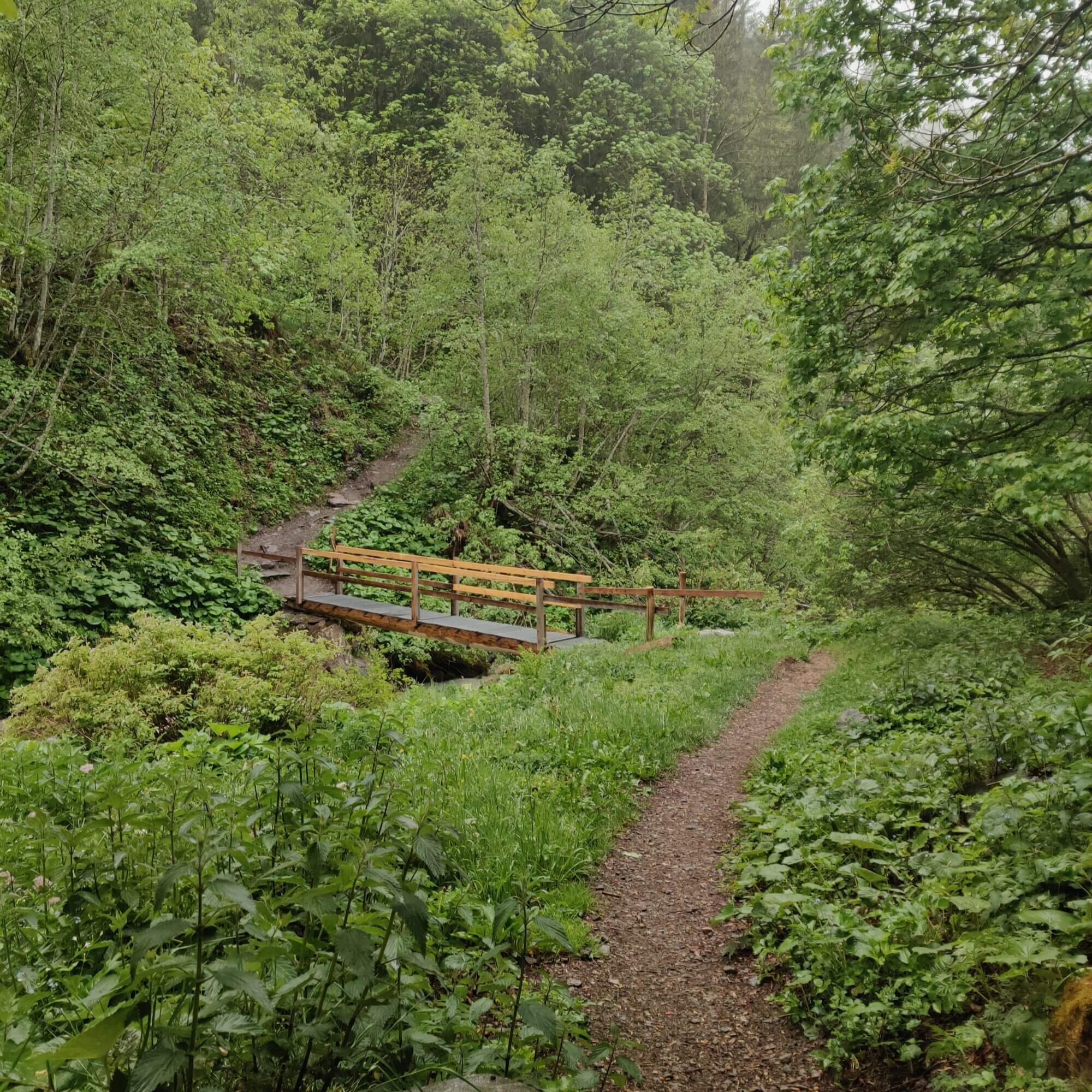
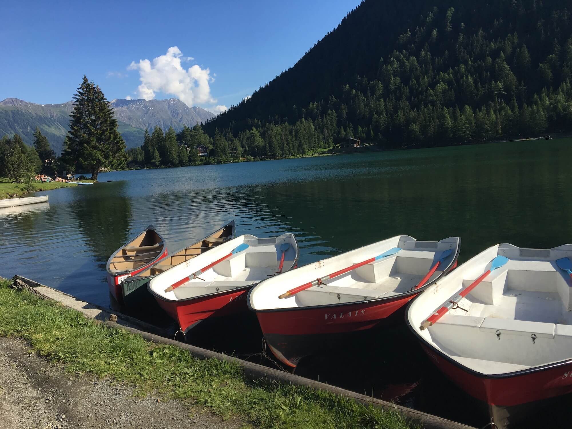
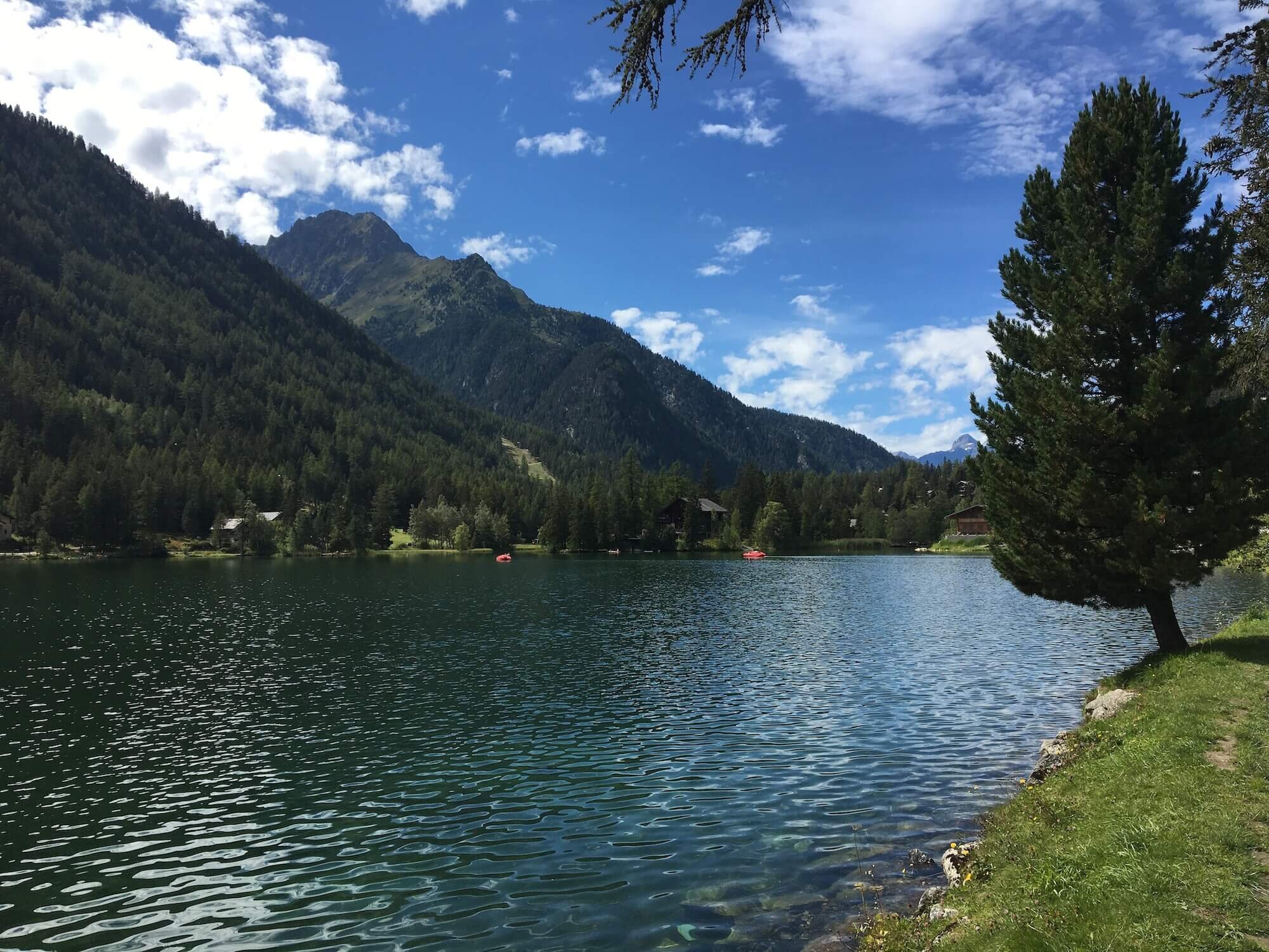
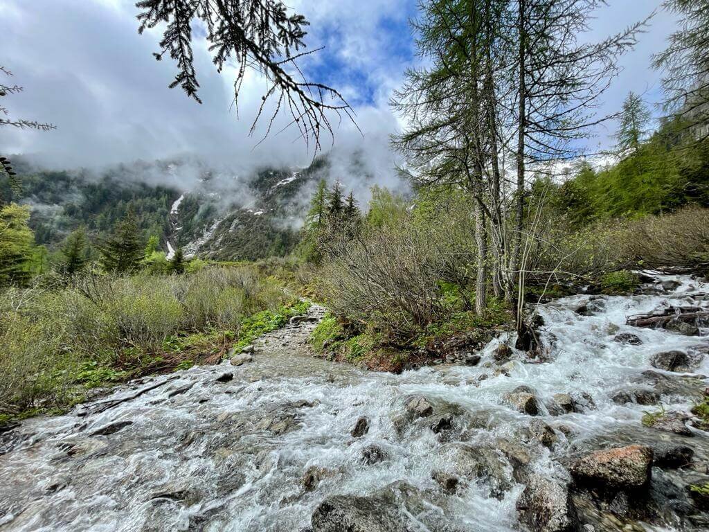
This trail meanders along the Bon Nant river, mostly under the shade of trees. It passes some lakes to swim and a gorge with fast, flowing water.
Difficulty: Hiking and Mountain Trail.


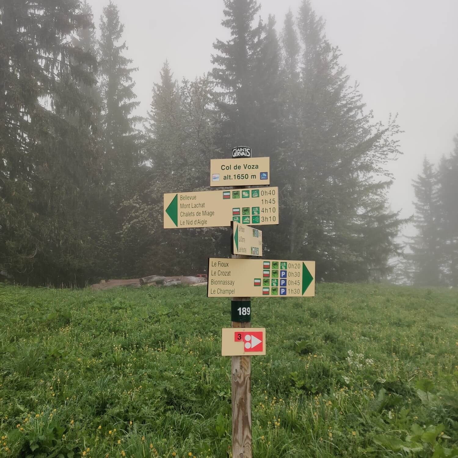
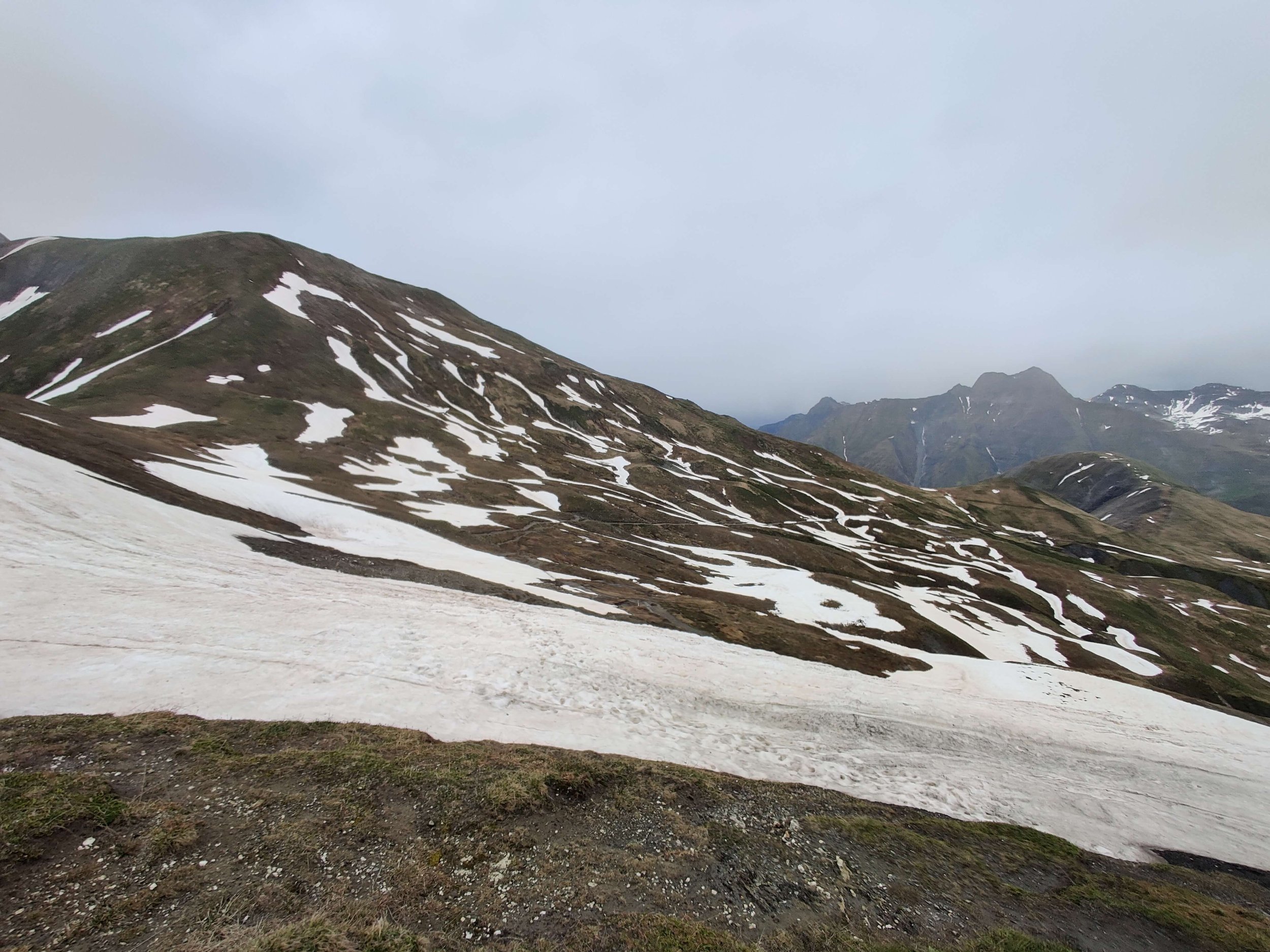
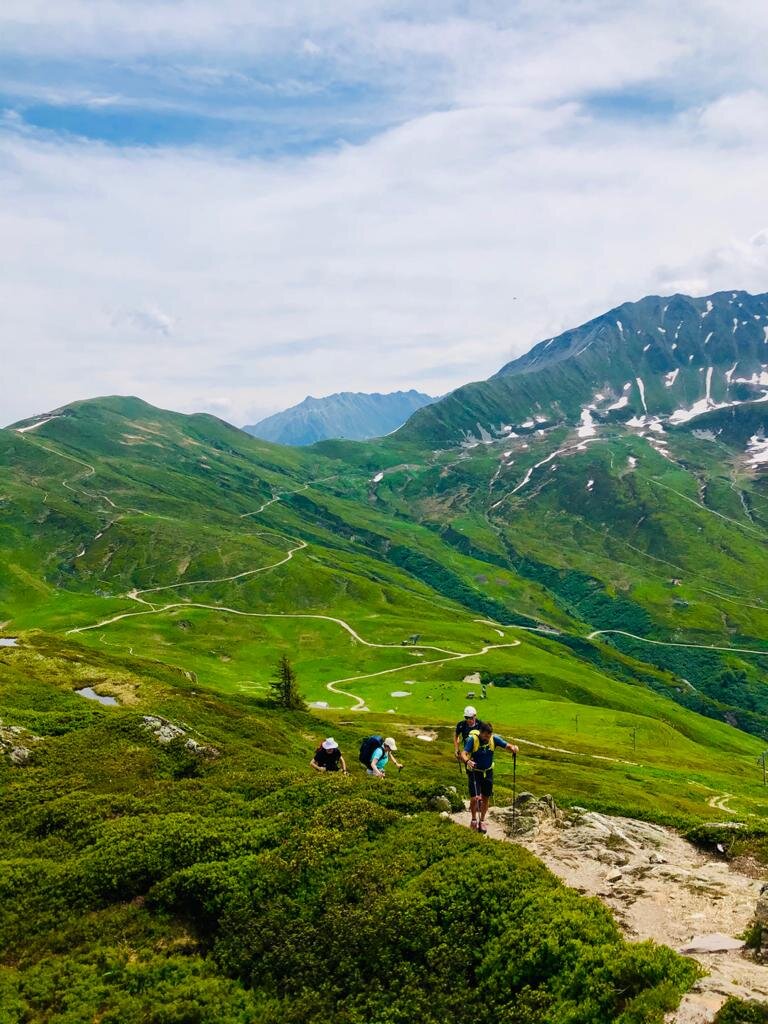
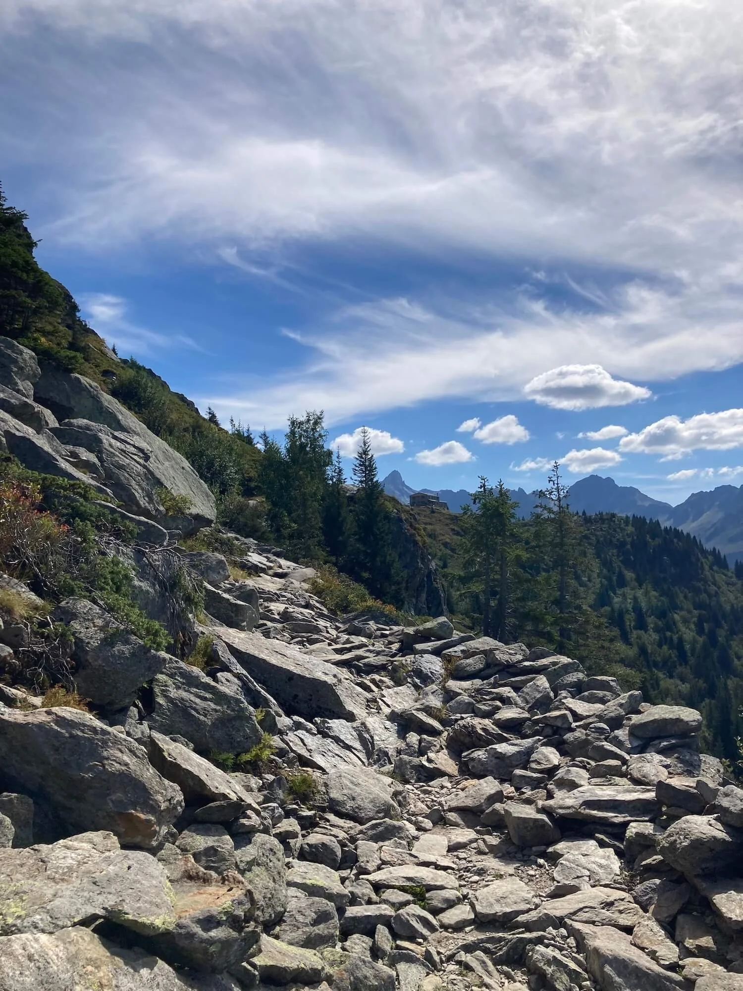
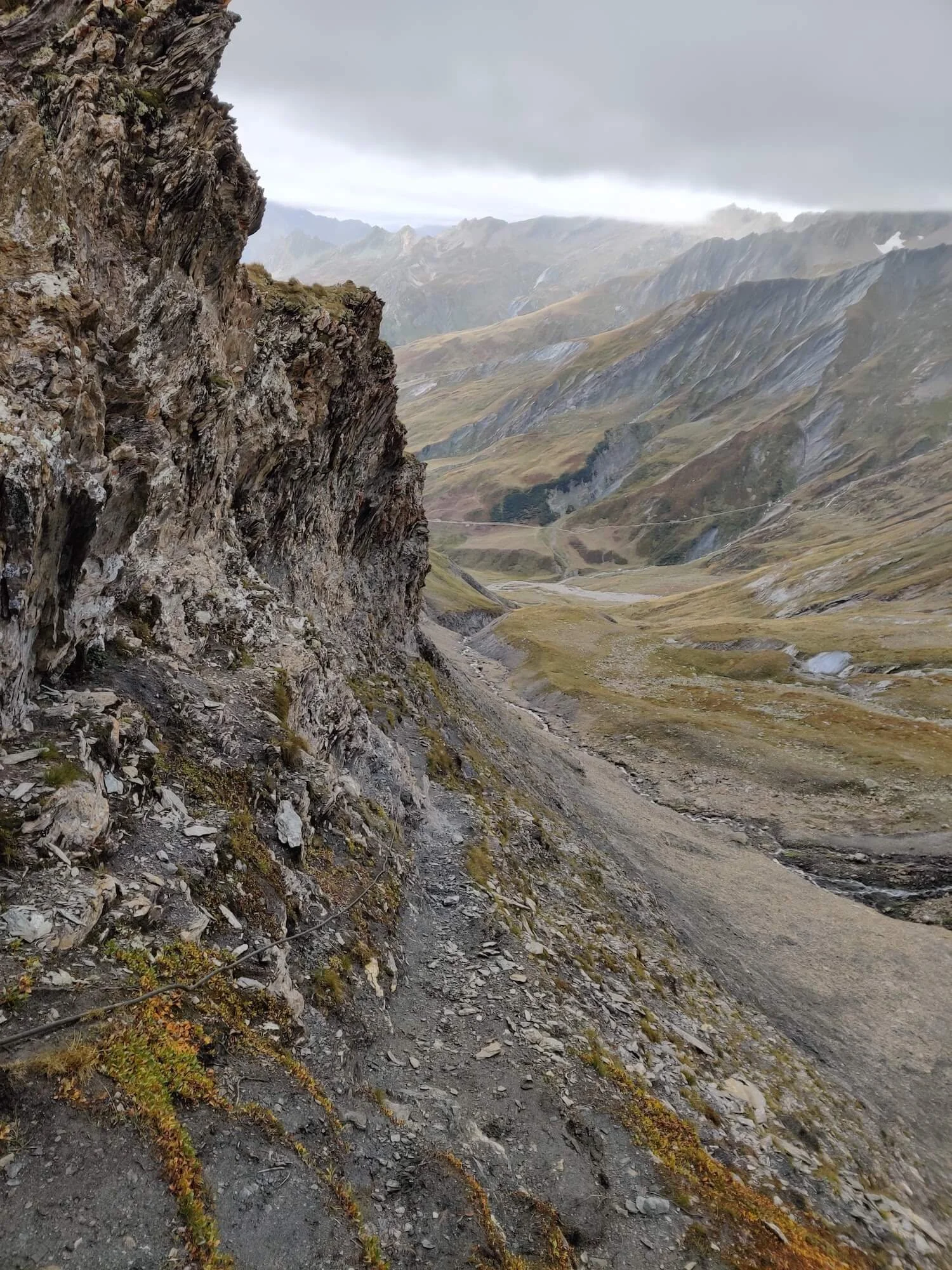
This trail includes the plateau of Plan Jovet, high alpine pastures, and some rocky sections.
Difficulty: Mountain Trail


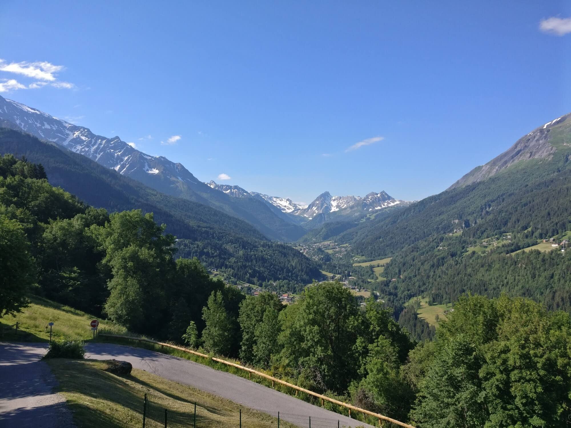
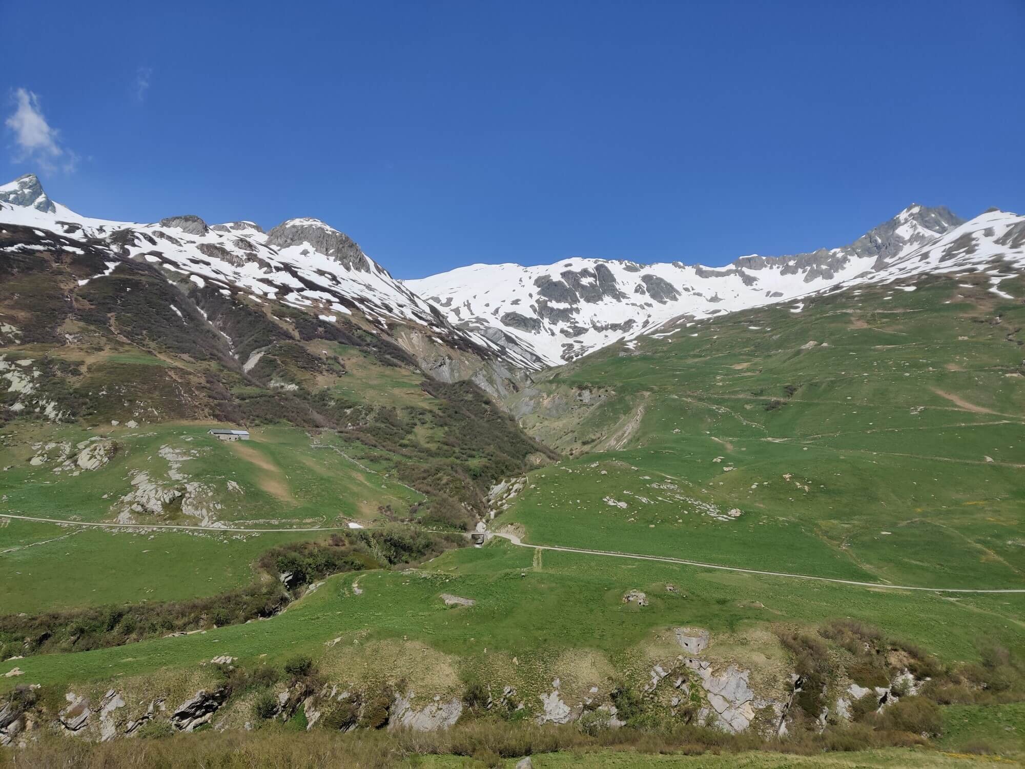
This trail passes through alpine meadows and farmland. Enjoy a break in Les Chapieux at one of the refuges or by the river.
Difficulty: Hiking and Mountain Trail.


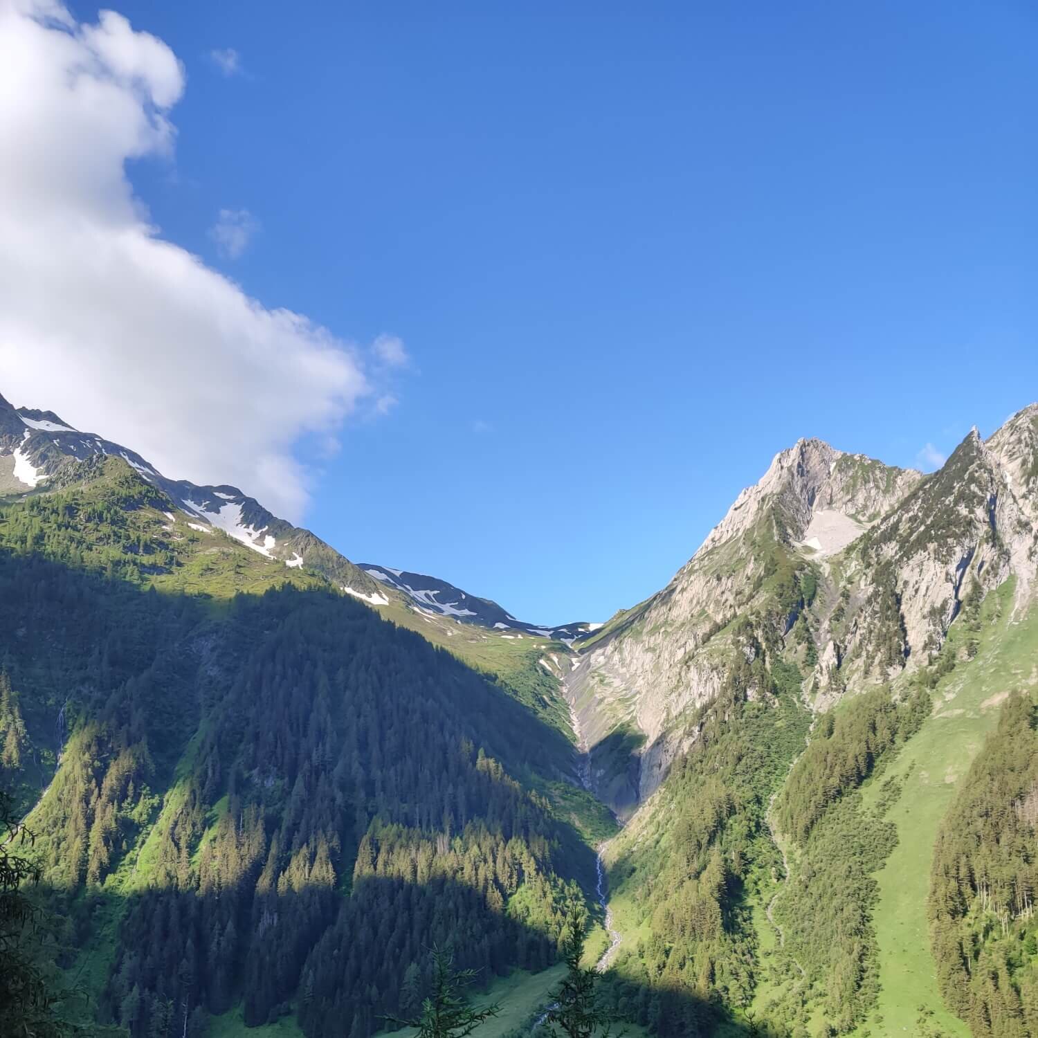
This trail passes through the Vallee des Chapieux which is dominated by the Aiguille des Glaciers. The Eastern end of this trail is Col de la Seigne, the border between France and Italy.
Difficulty: Hiking and Mountain Trail.


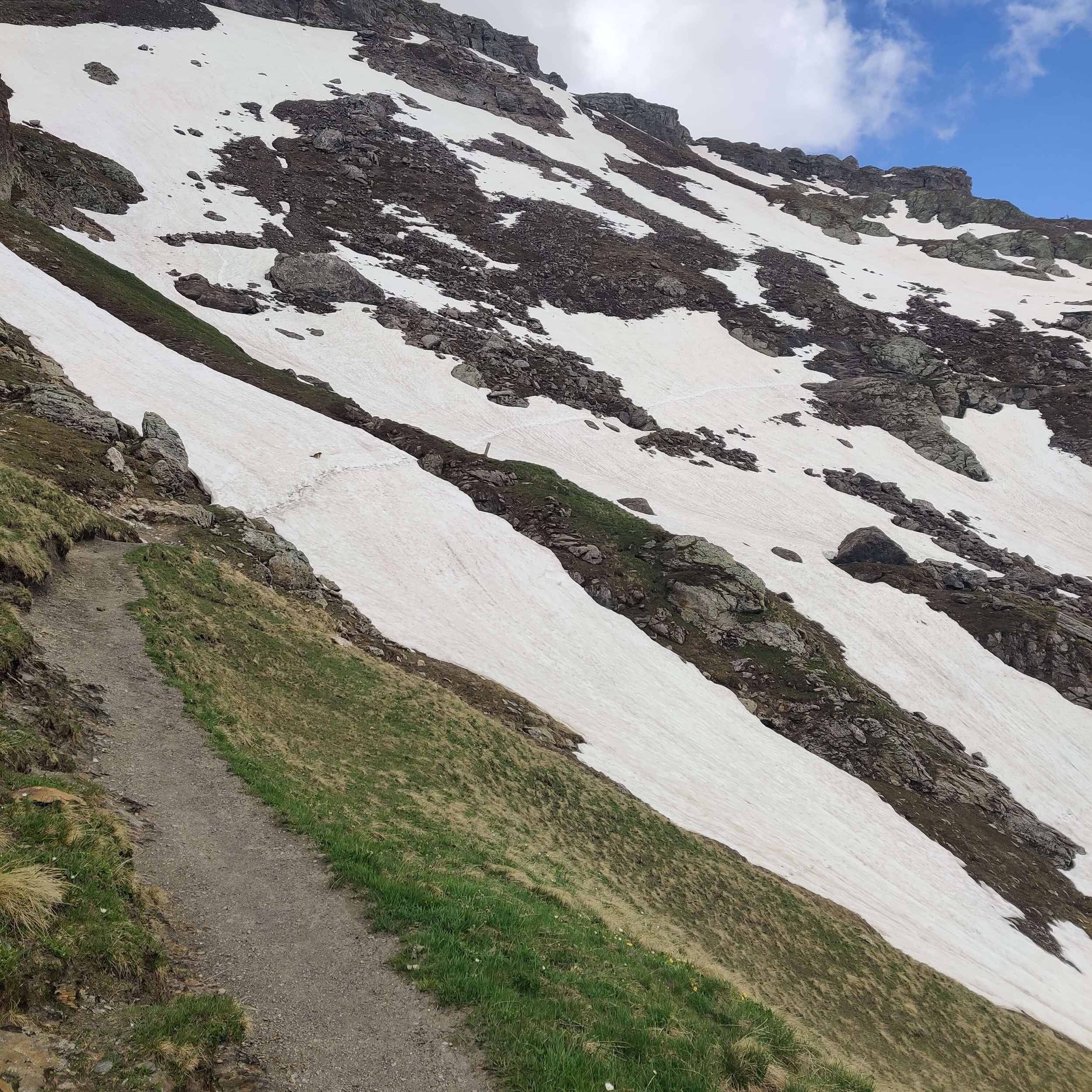
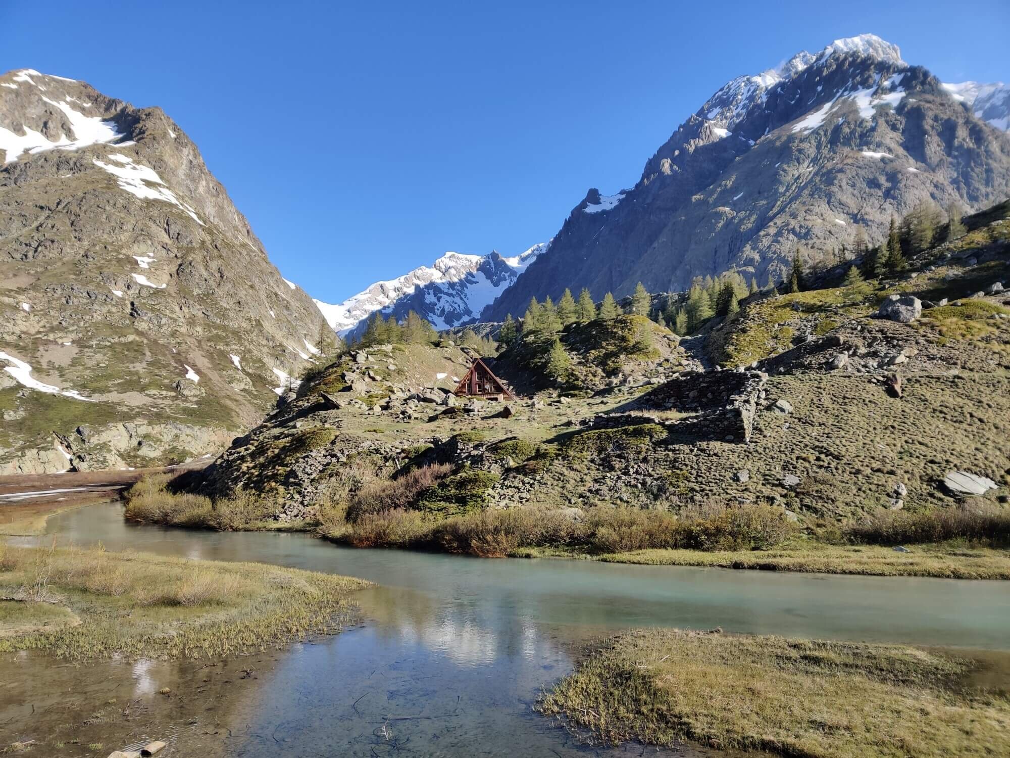
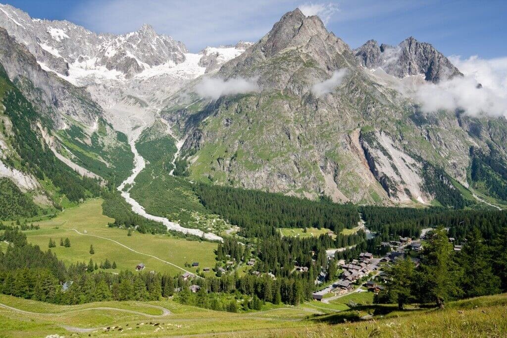
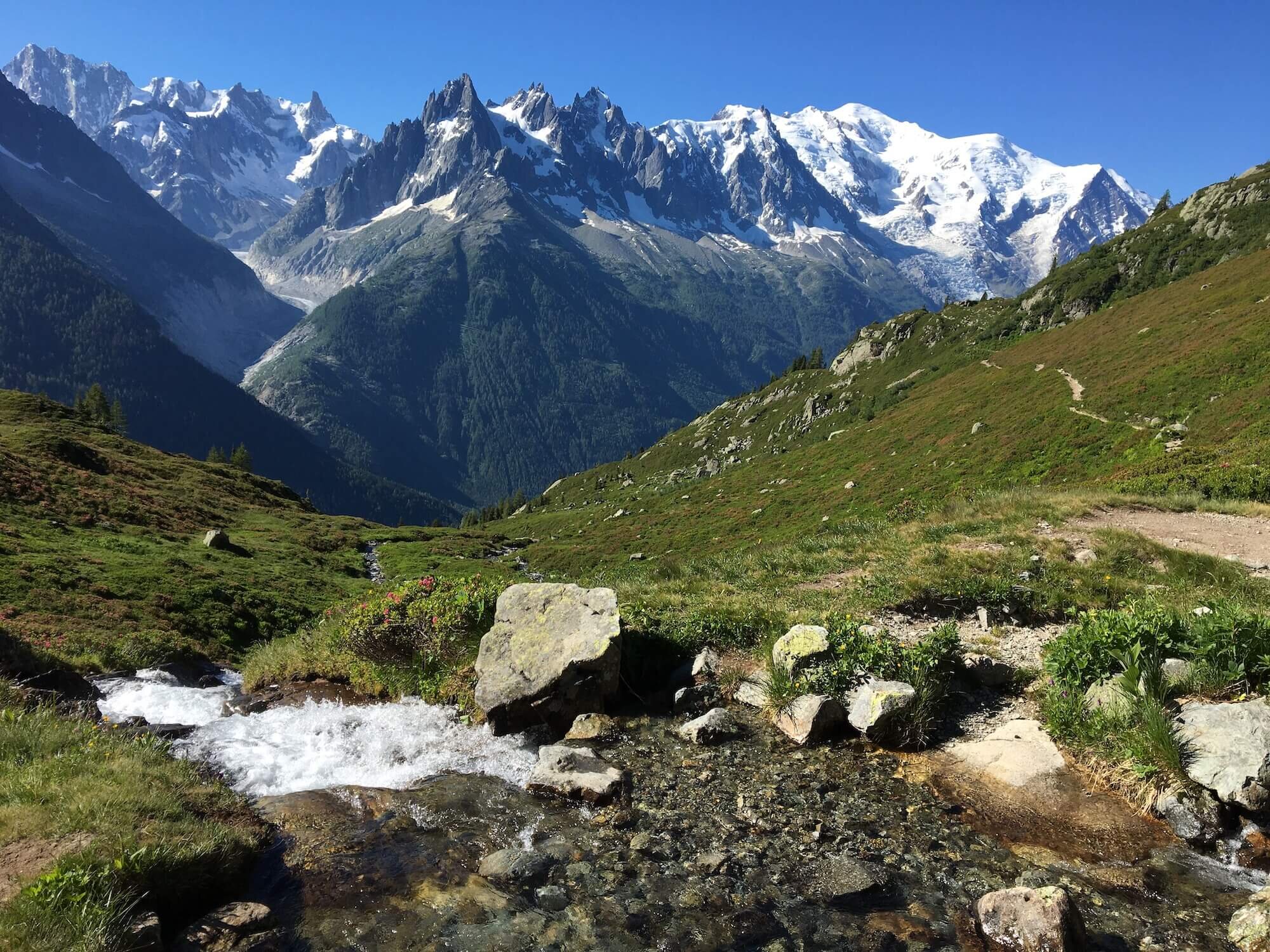
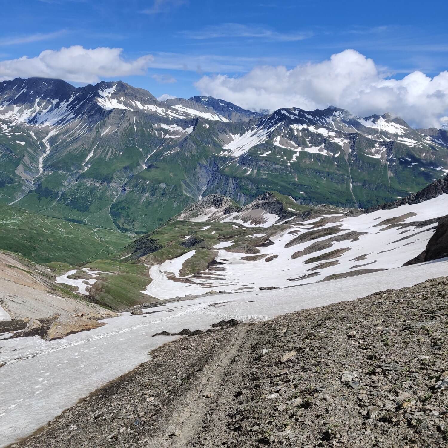
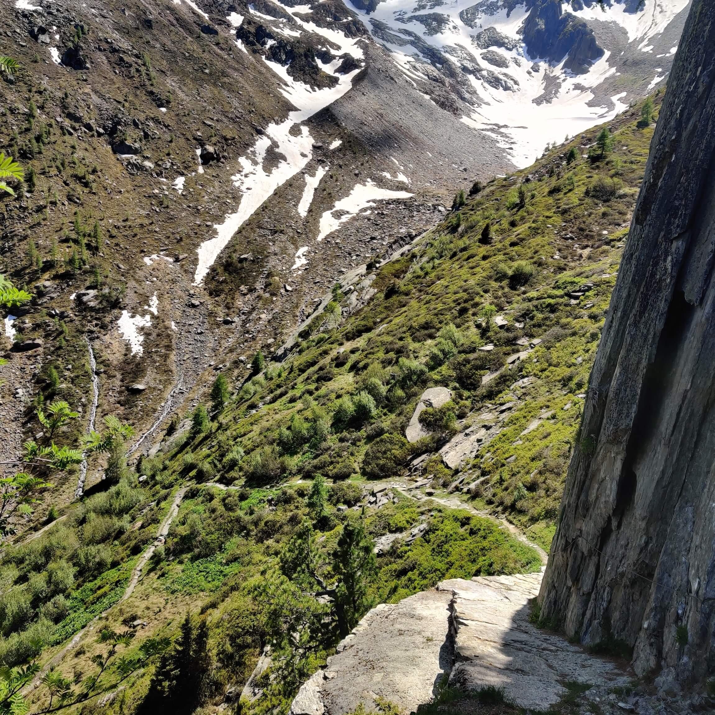
This trail showcases the glaciers on the South side of Mont Blanc, including Glacier de la Lex Blanche. Hikers pass by Lake Combal, which is created by the glacier melt coming from above.
Difficulty: Mountain Trail


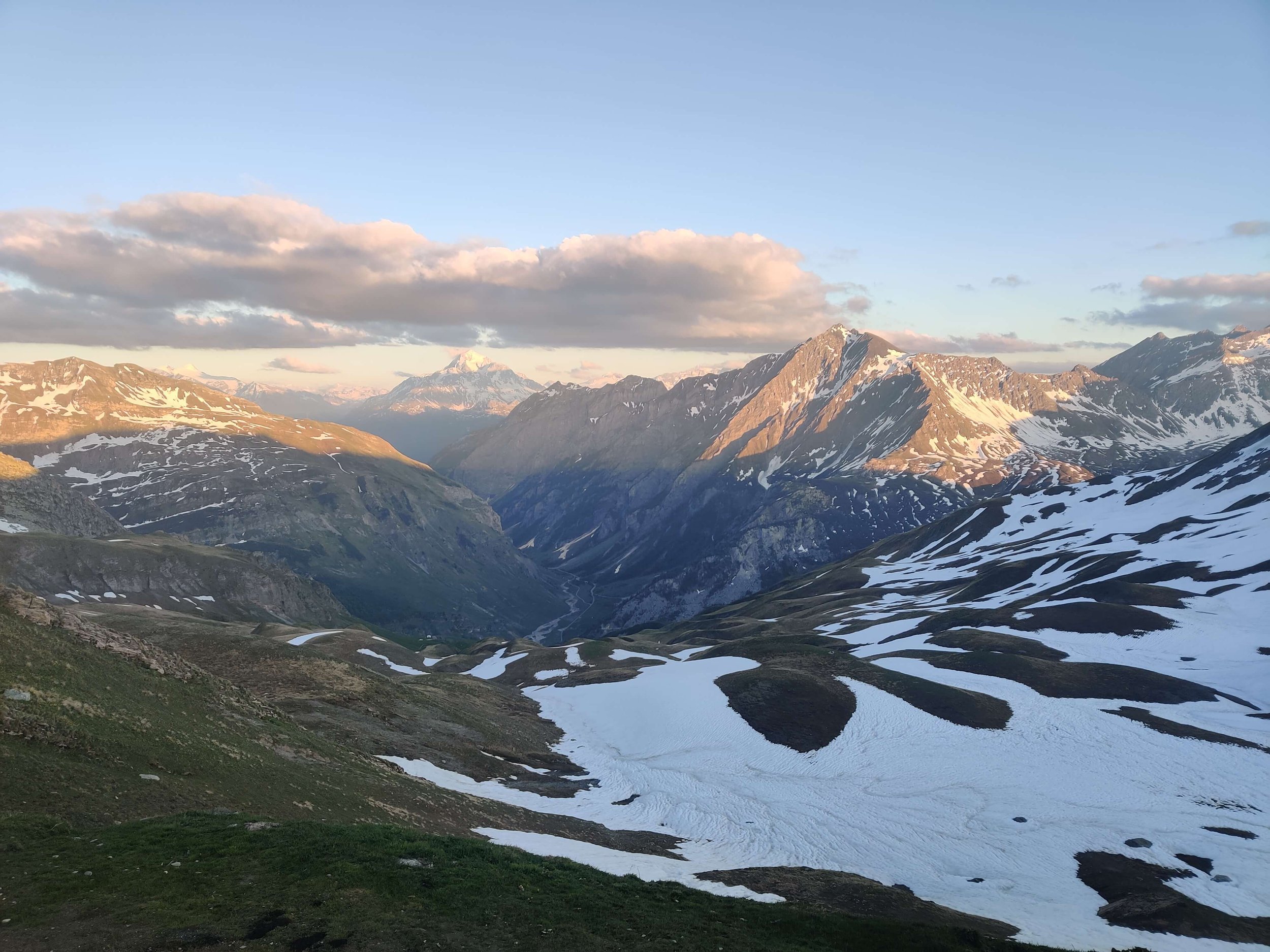
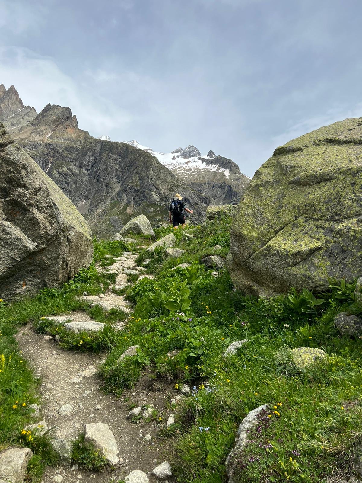
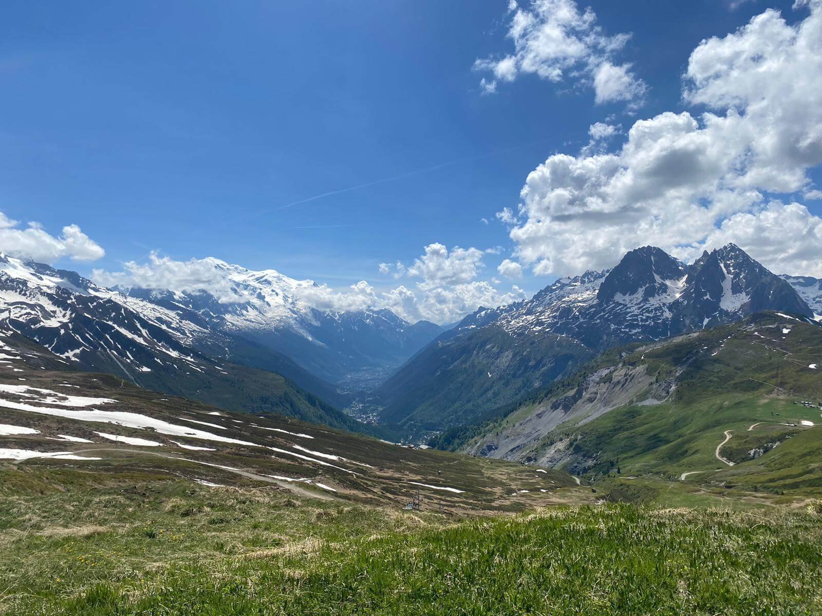
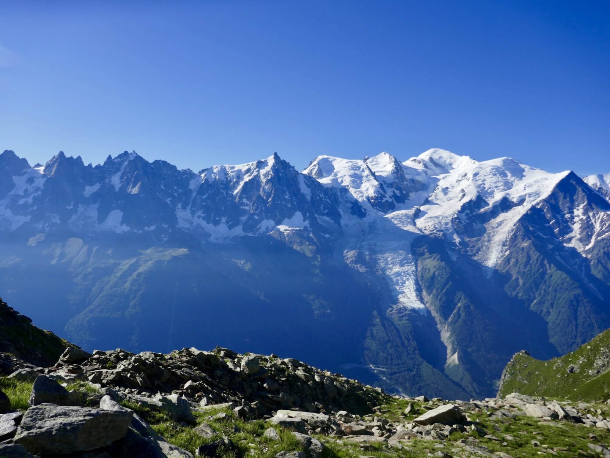
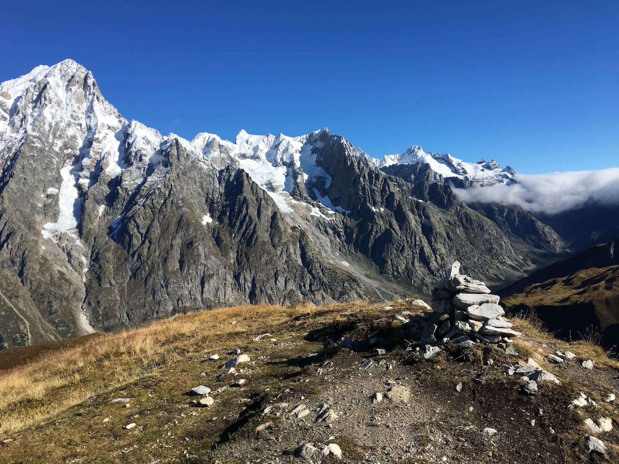
This trail rewards hikers with unparalleled views of the Mont Blanc massif while walking the ridgeline. It also passes through the Courmayeur ski area, where hikers are required to cross the grassy ski pistes.
Difficulty: Mountain trail


This trail winds through the Courmayeur ski area with some sections on gravel track, while other sections amongst the trees with tree roots and steps to navigate.
Difficulty: Mountain Trail.


This trail is mostly within the trees and is a series of switchbacks.
Difficulty: Hiking trail.

This trail is mostly wide balcony sections that wind along the lower end of the Ferret Valley on an undulating path that offers wonderful views of the Mont Blanc massif.
Difficulty: Mountain trail.


This trail is mostly wide balcony sections that wind along the upper end of the Ferret Valley on an undulating path that offers wonderful views of the Mont Blanc massif.
Difficulty: Mountain Trail


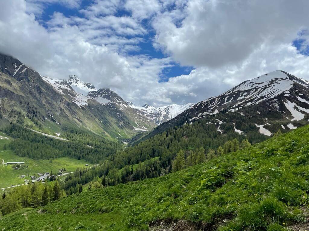
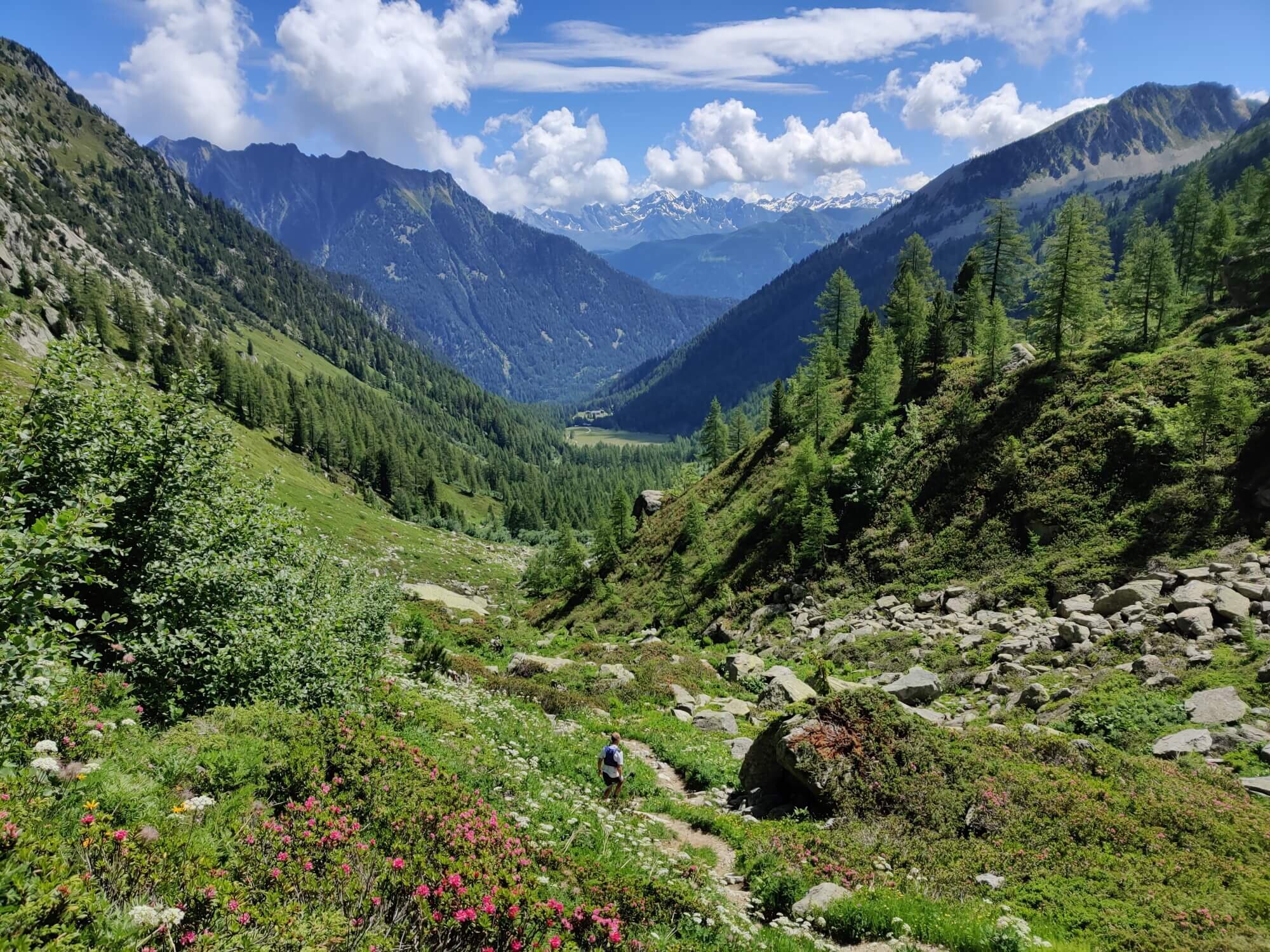
This trail includes a high plateau, alpine meadows, and balcony trail. The Western end of this trail is Grand Col Ferret, the border between Italy and Switzerland.
Difficulty: Mountain trail.
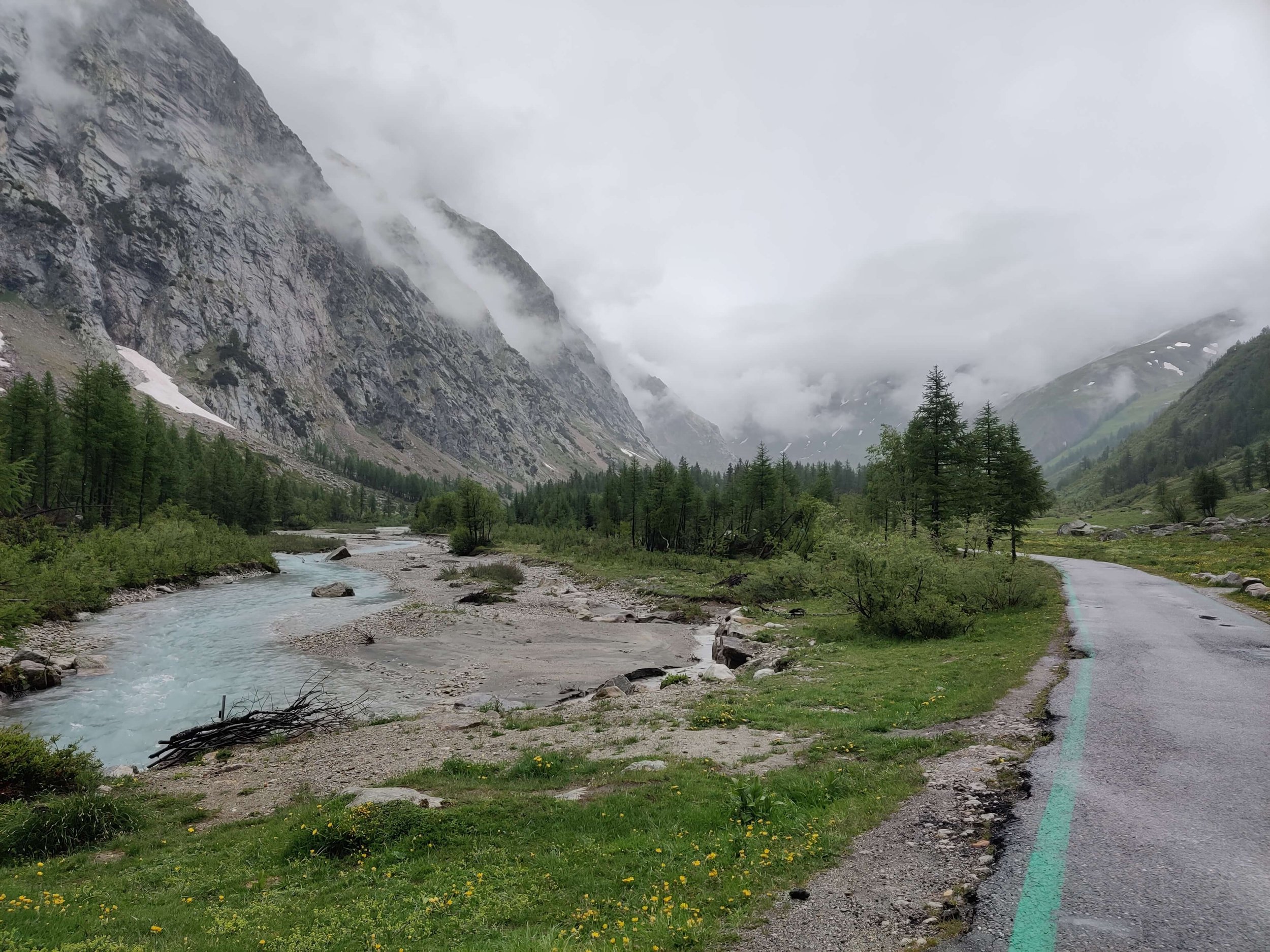
This trail follows the Le Dranse de Ferret river along the valley floor and includes a section through a forest with some decorative wood carvings.
Difficulty: Hiking trail.
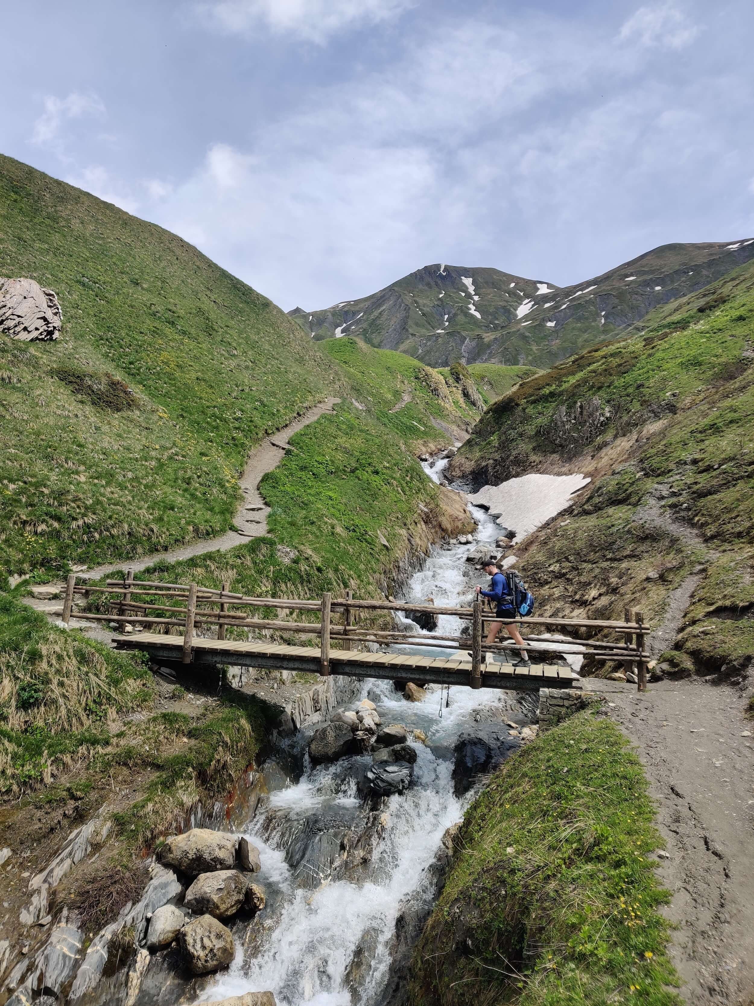
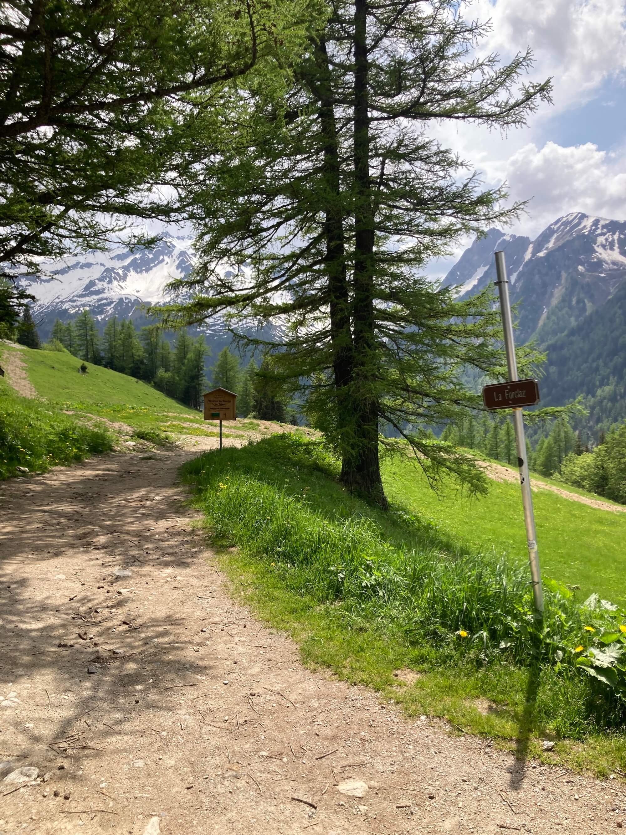
This trail showcases views of Martigny and the Bernese Oberland across the valley. Alp Bovine is a popular location to stop for lunch or cake.
Difficulty: Mountain trail.
This trail is suitable for those who are staying in Trient or who want to catch the bus to skip ahead or exit the trail.
Difficulty: Mountain trail.
This trail passes through low farmland, forests, and high alpine meadows.
Difficulty: Mountain trail.
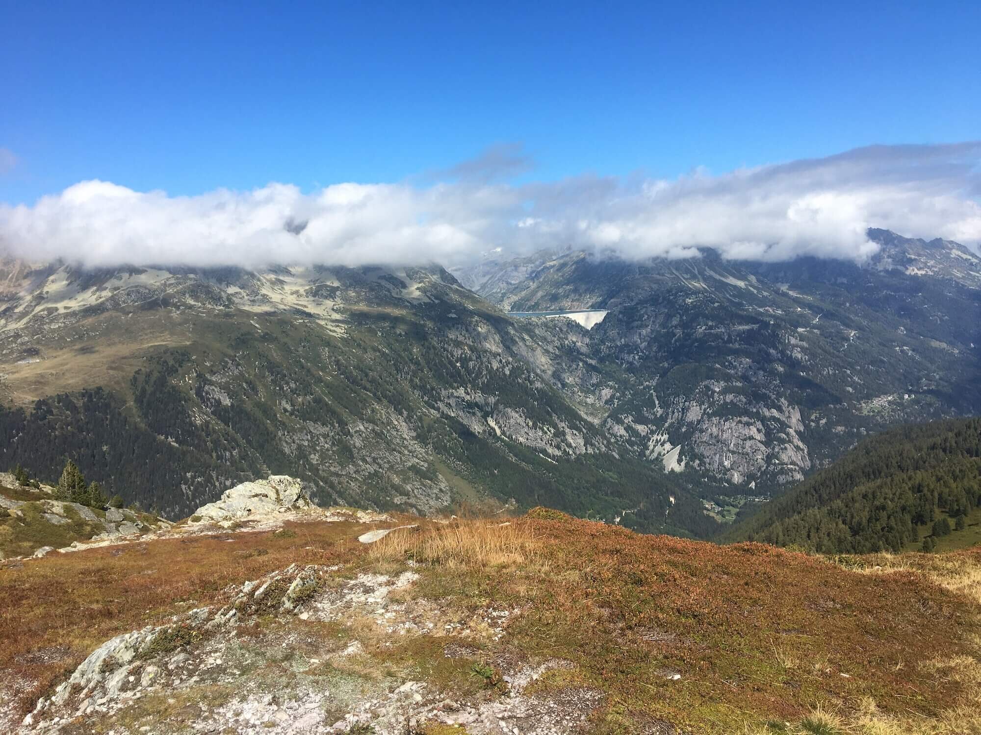
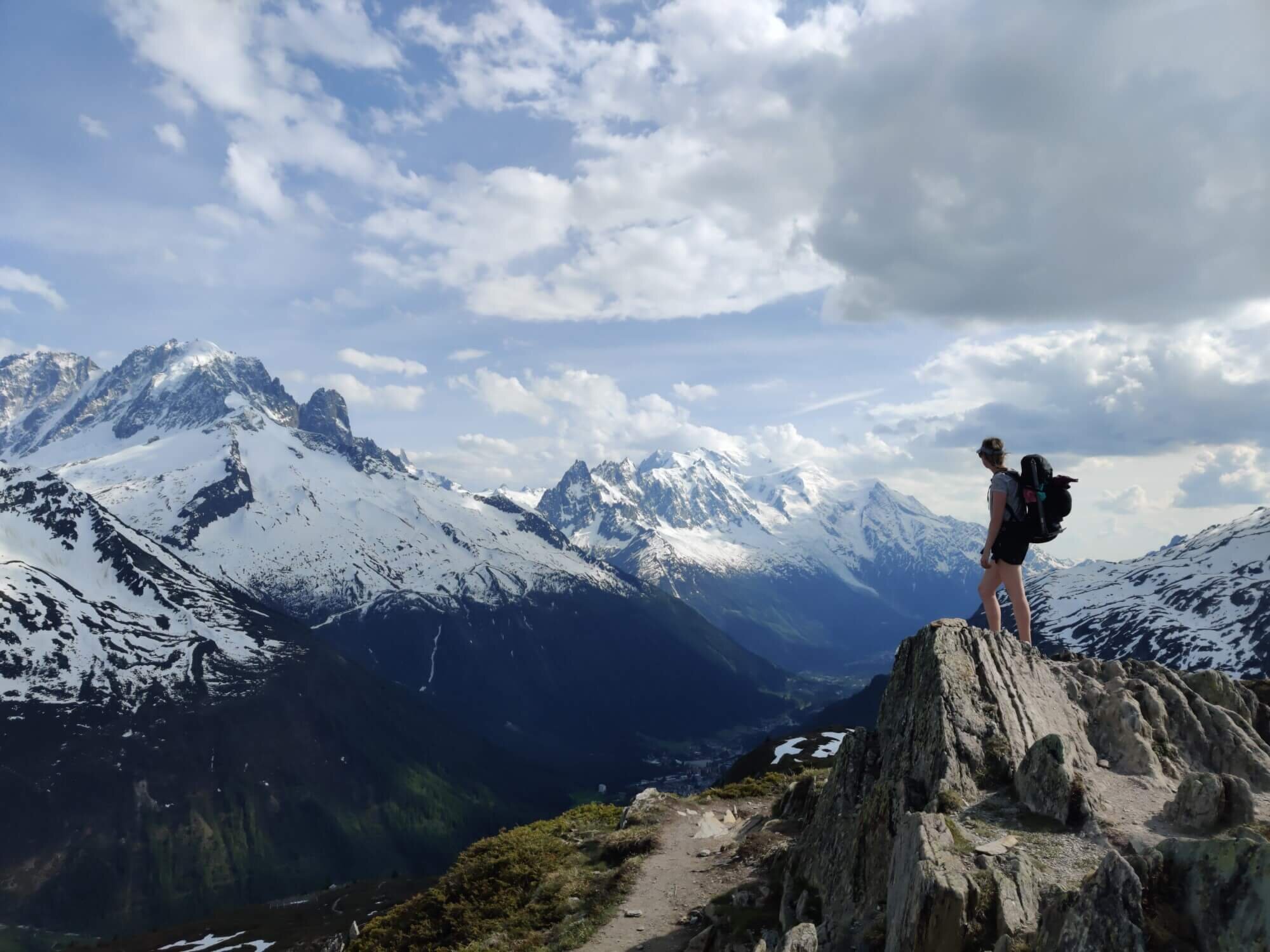
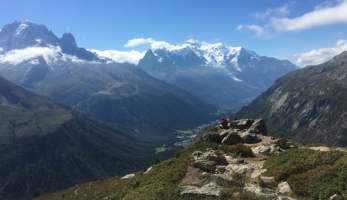
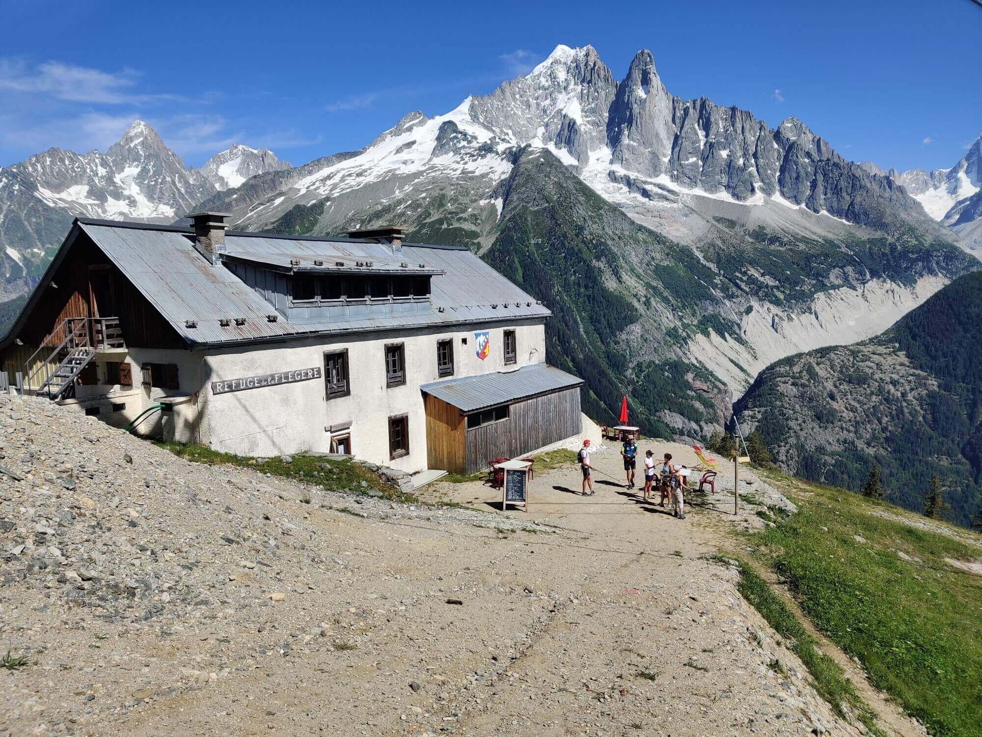
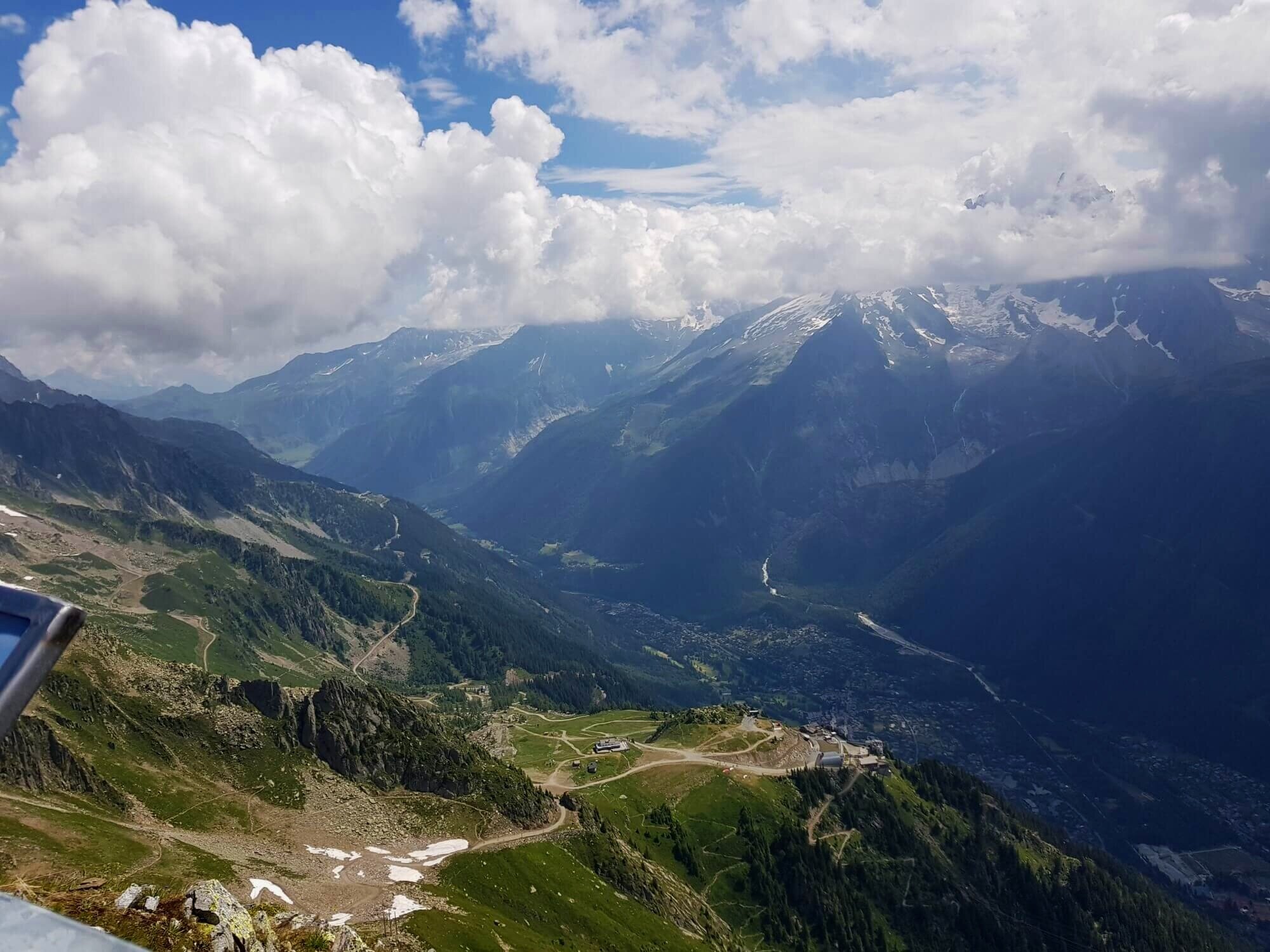
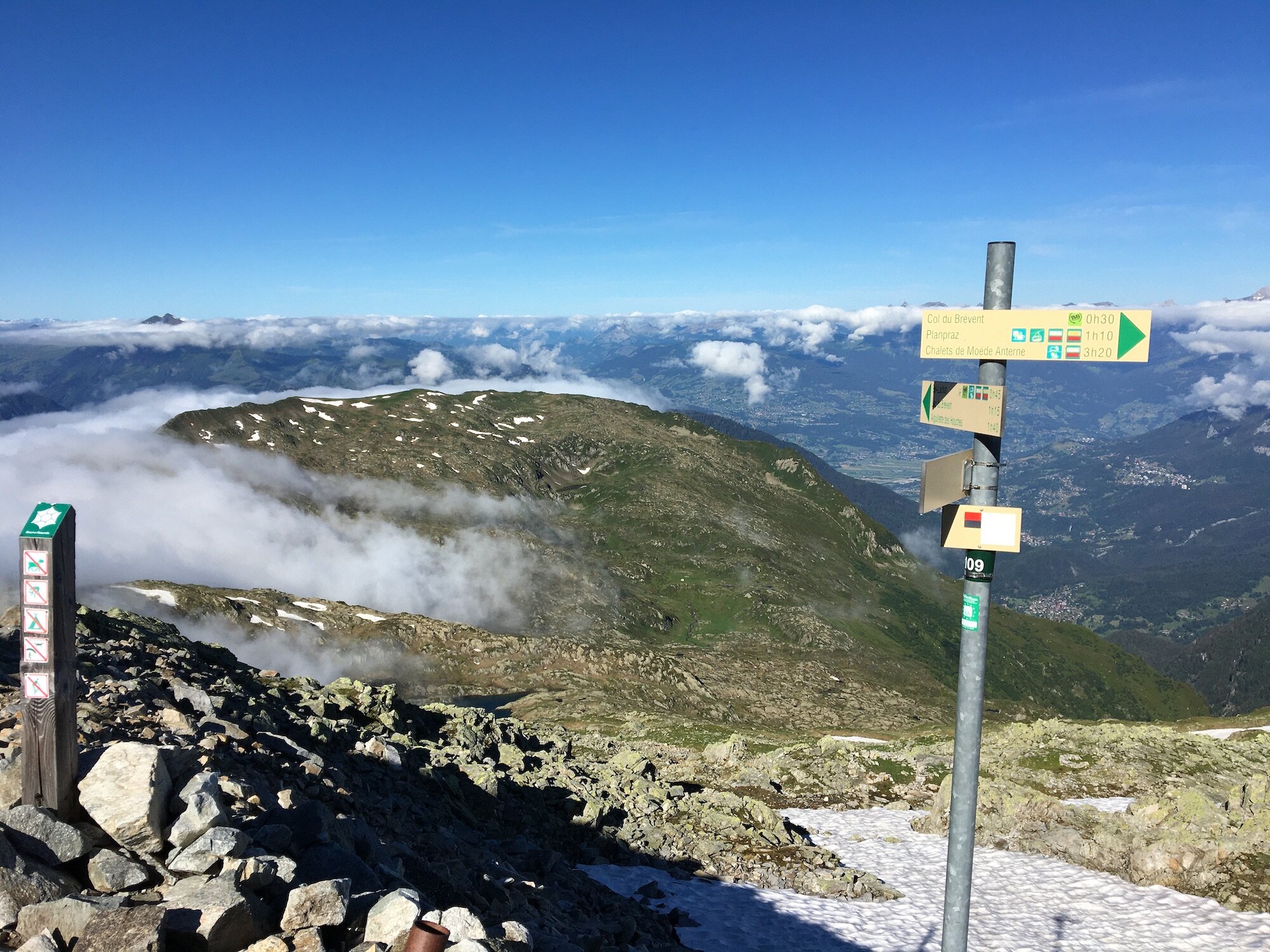
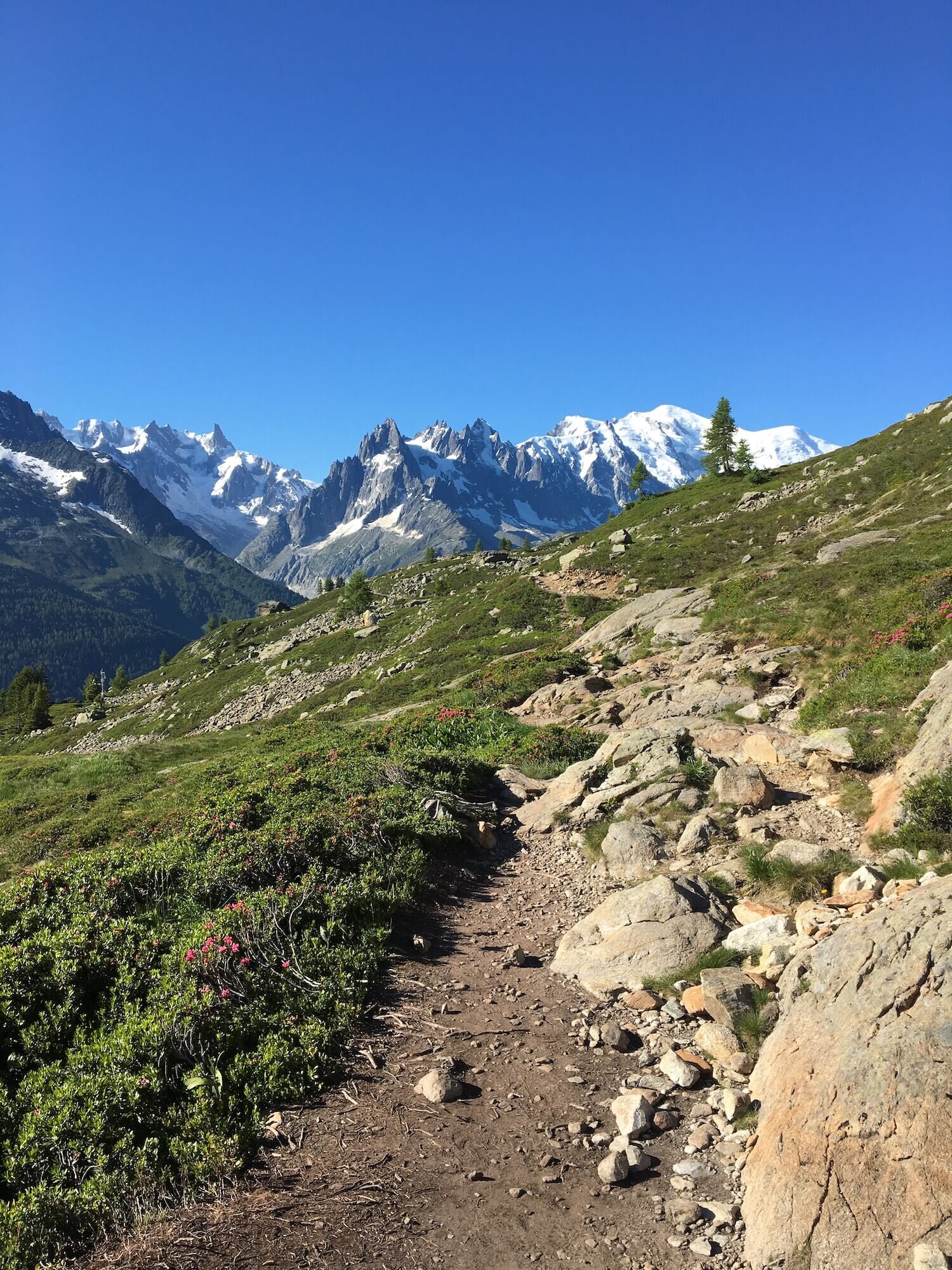
This trail follows the rounded ridgeline offering 360-degree views, including Le Tour glacier, Émosson dam, and the Chamonix valley.
Difficulty: Mountain trail
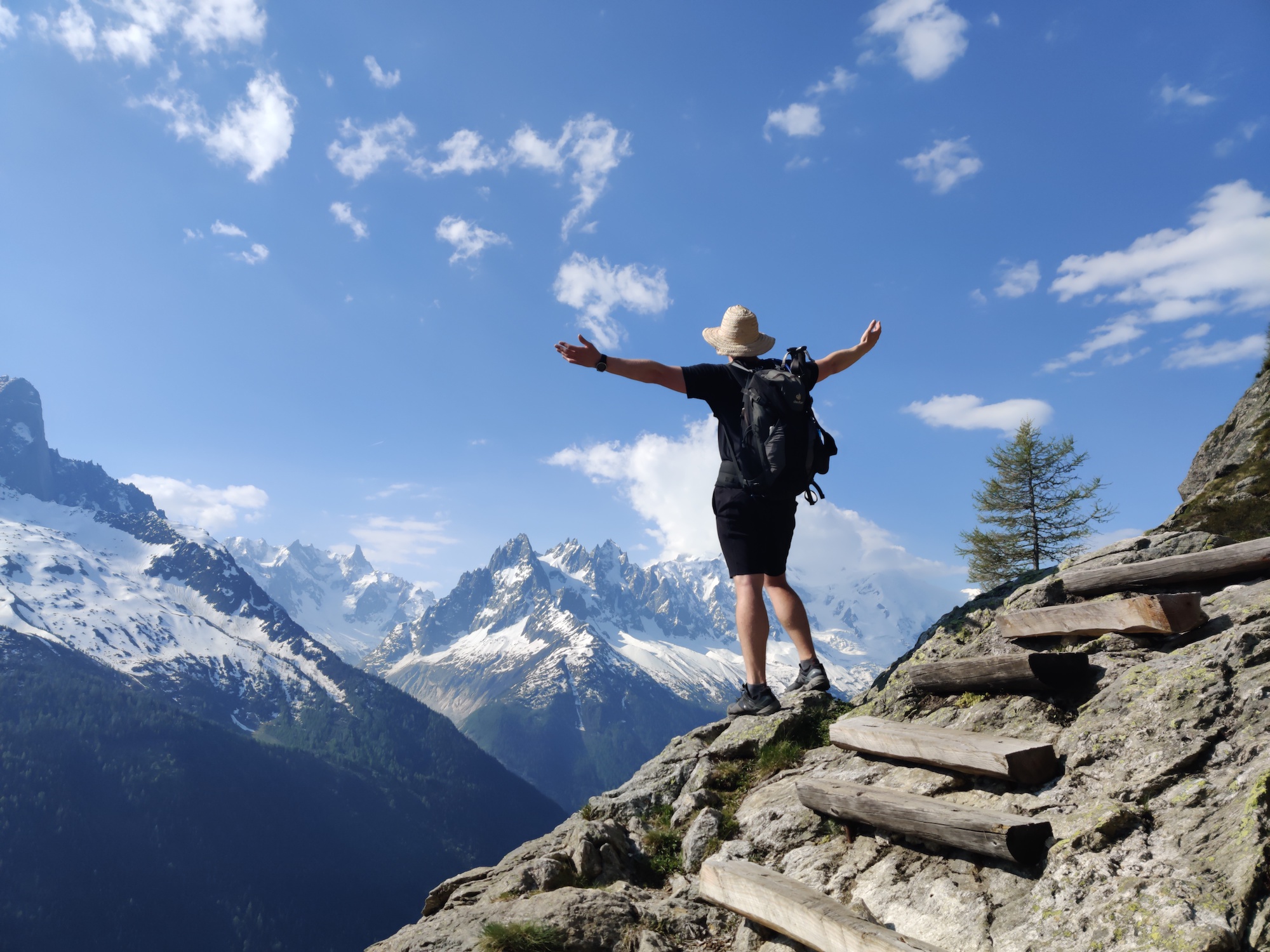
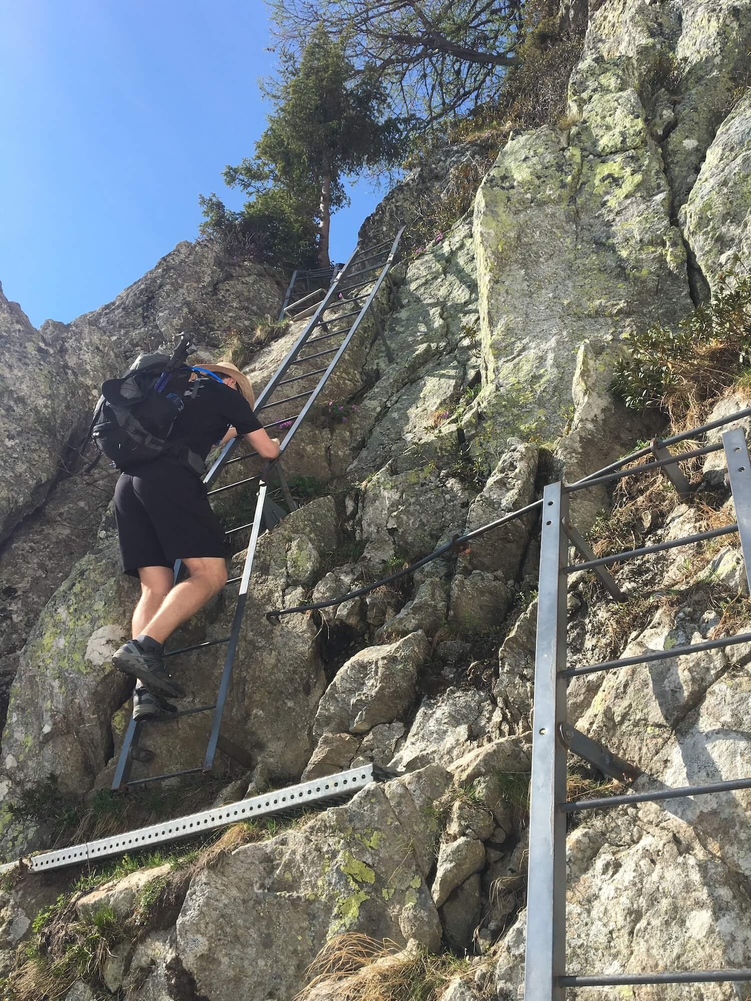
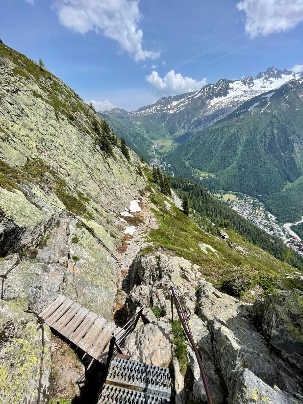
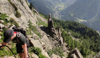
This trail has two sections of ladders, steps, and rails. Some hikers find this section difficult, especially with heavy backpacks and during the peak period when it is particularly busy with day hikers.
Difficulty: Mountain trail.
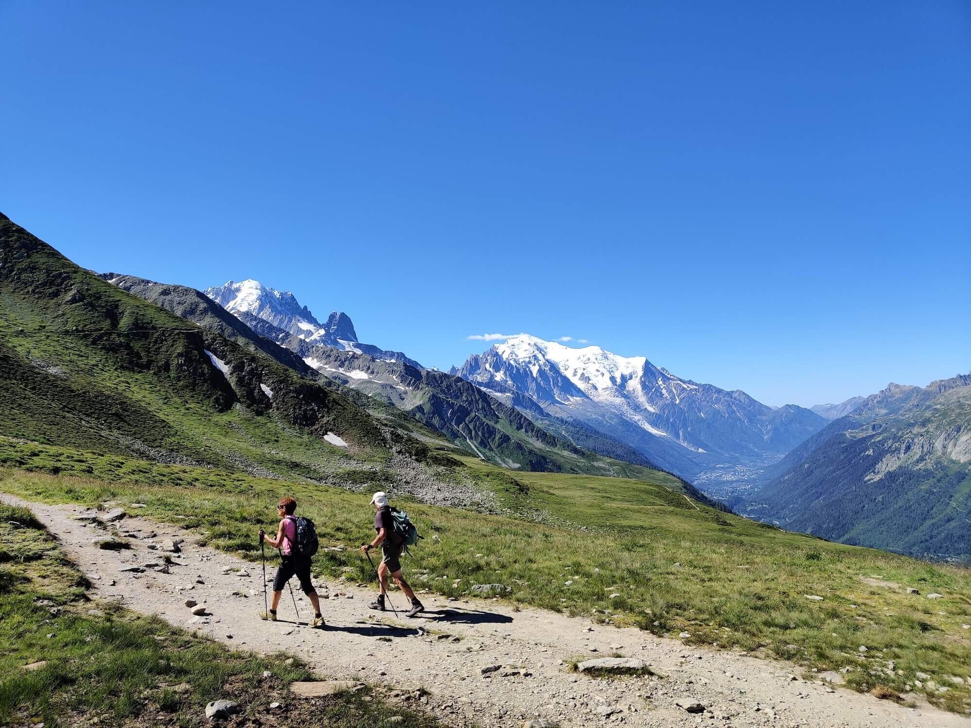
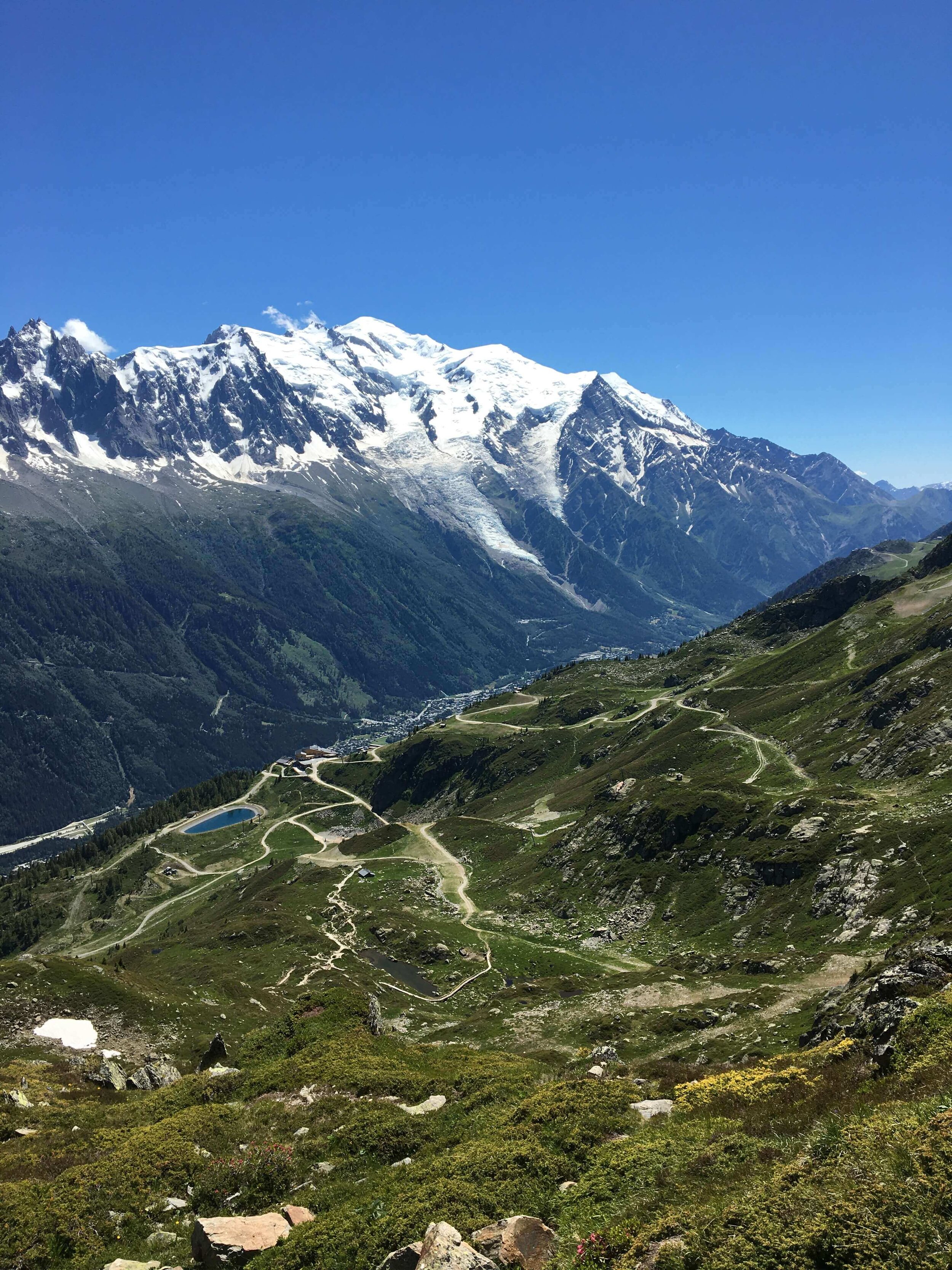
This trail is particularly popular with day hikers due to its unparalleled views of the Mont Blanc Massif.
Difficulty: Mountain trail
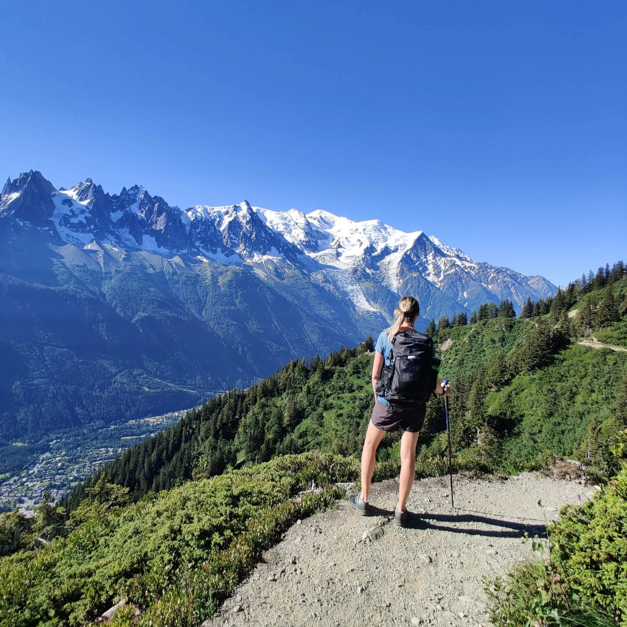


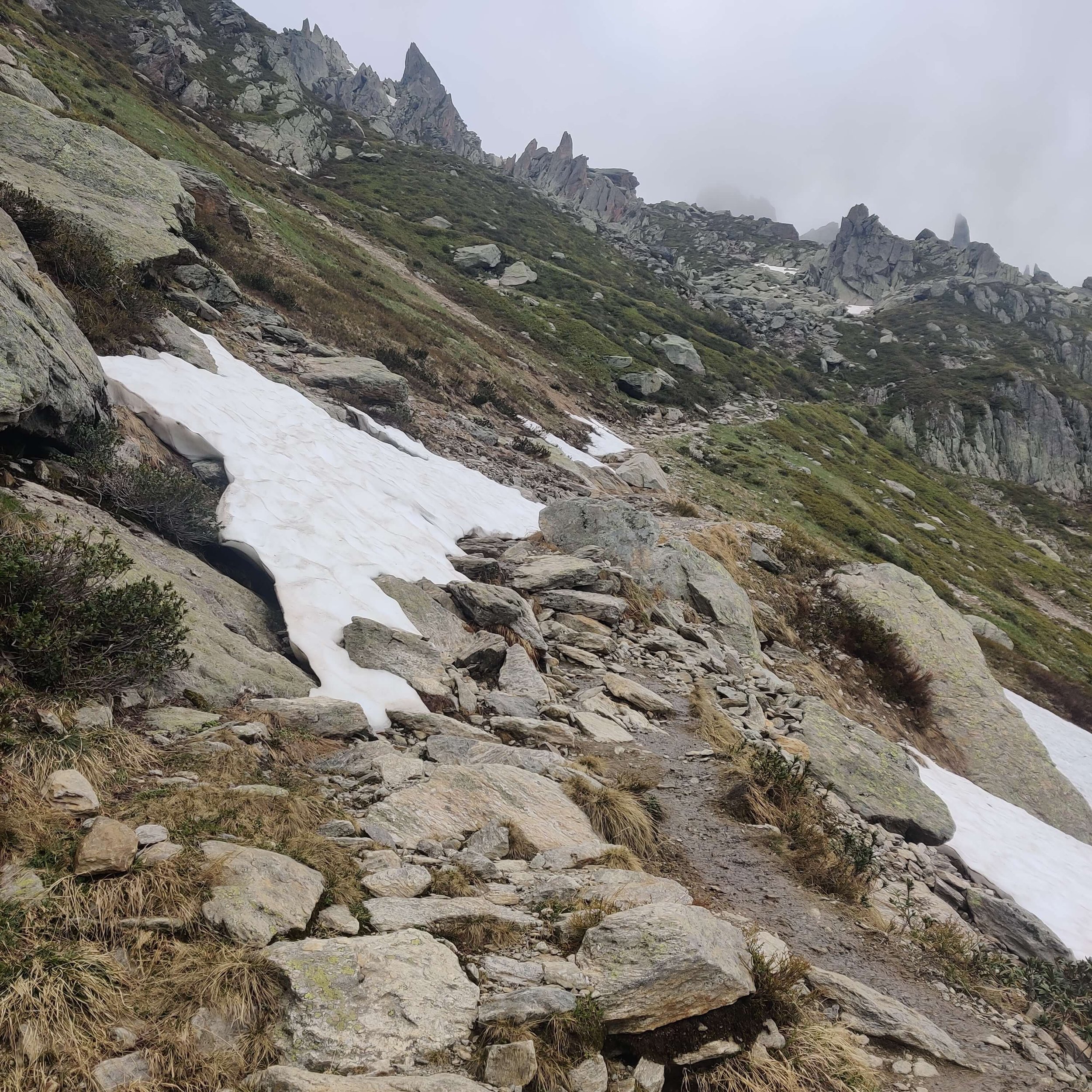
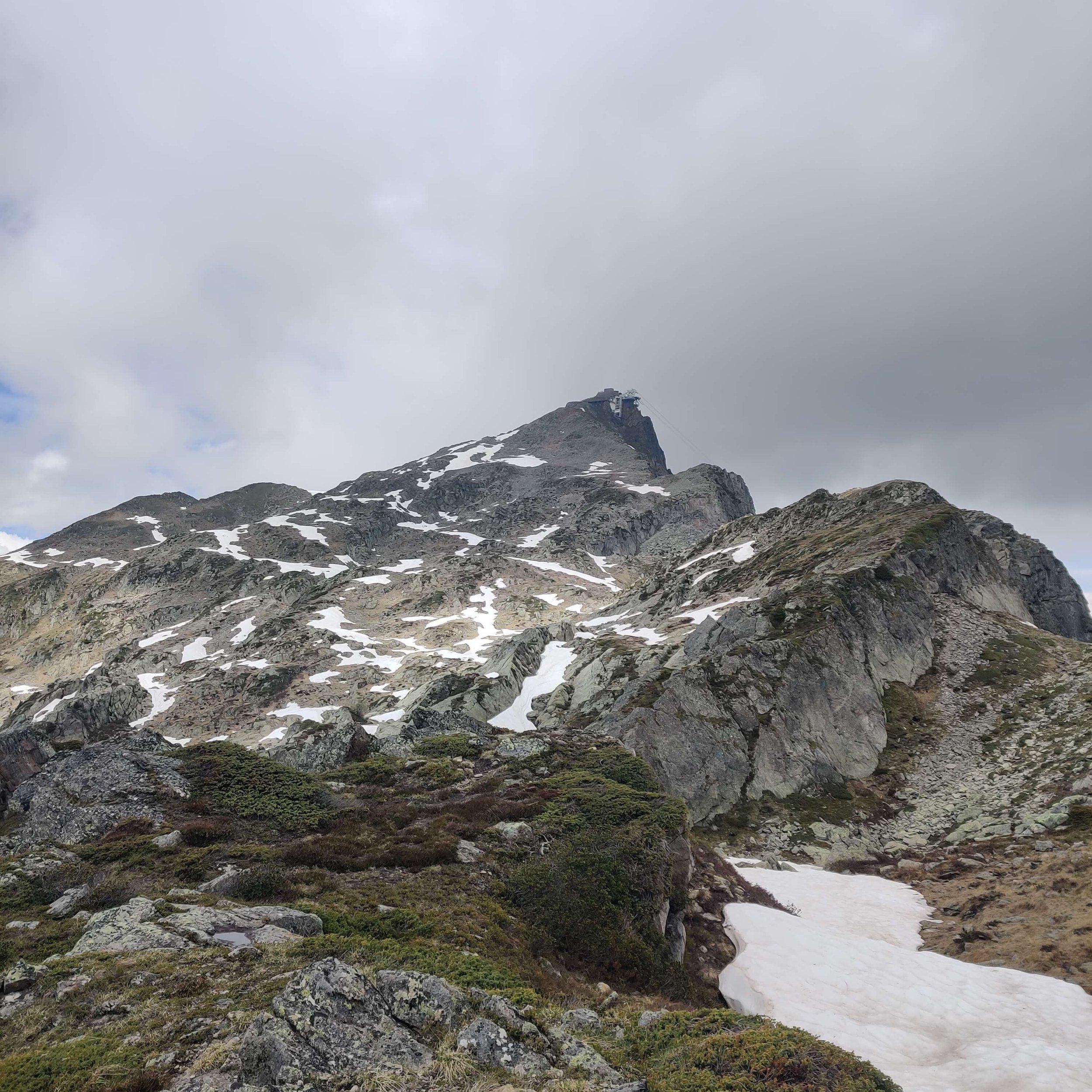
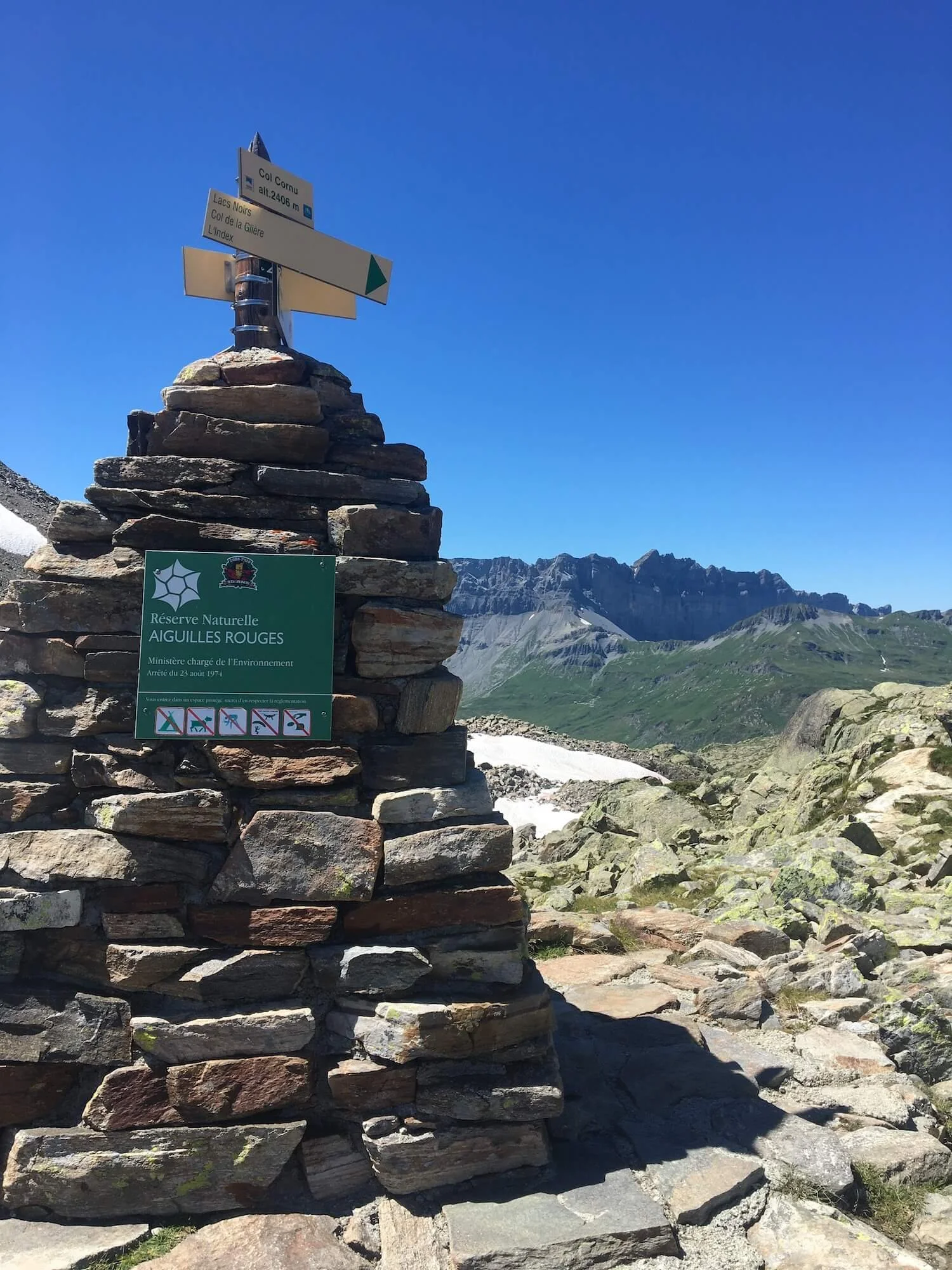
This trail reaches the highest point on Aiguilles Rouges, the mountainous massif that stands opposite the Mont Blanc Massif.
Difficulty: Mountain trail.

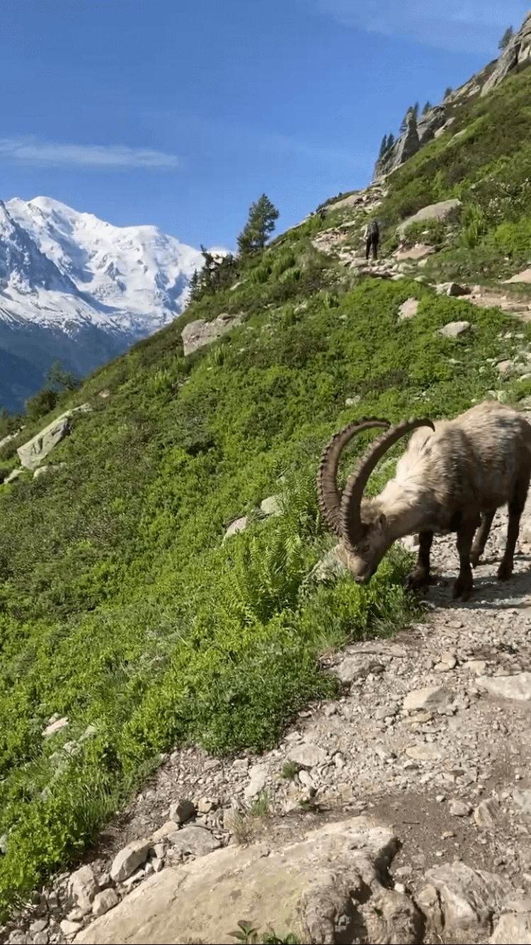
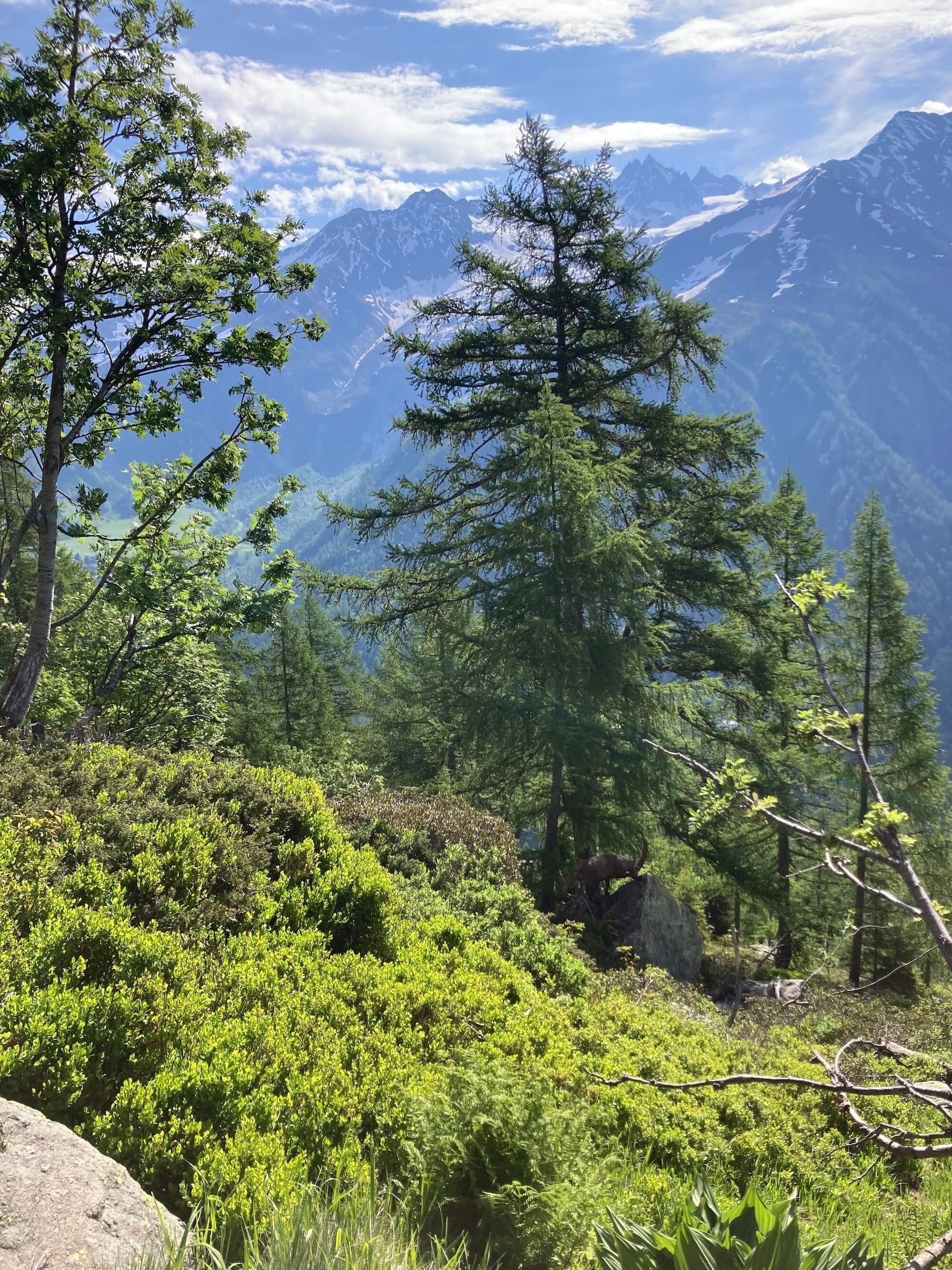
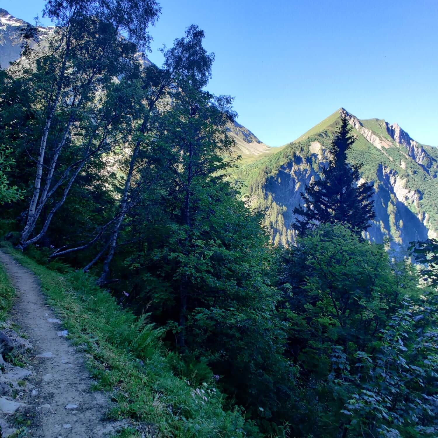
This trail is mostly within the forest and passes an amazing wildlife reserve that should not be missed.
Difficulty: Mountain trail


Variant or alternative routes
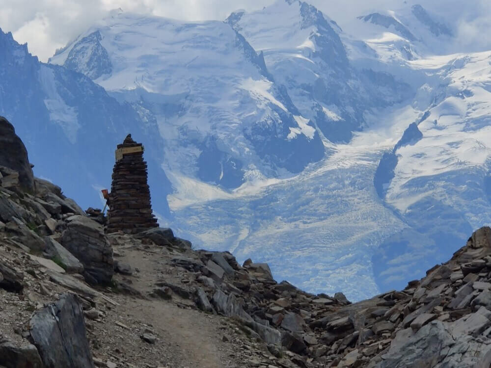
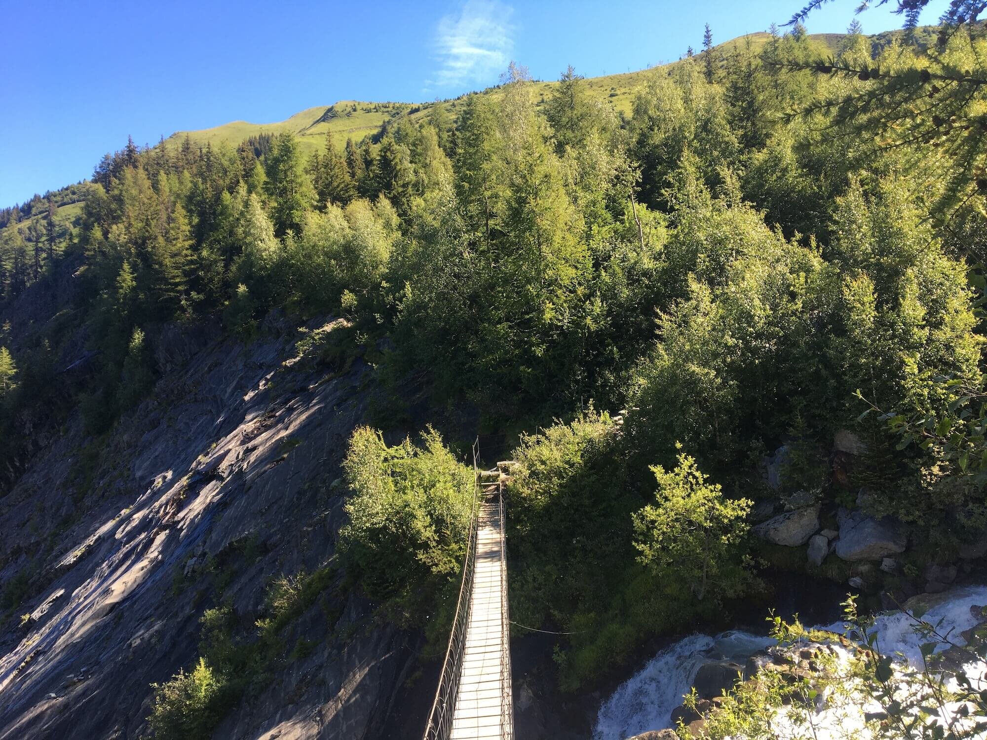
This variant brings you closer to the Mont Blanc massif, includes a suspension bridge crossing, and features unparalleled views of the Miage glacier. It is slightly longer and has more elevation change than the main trail.
Difficulty: Mountain trail


This variant offers views across the valley to Mont Joly and allows you to see along the entire west end of the Mont Blanc massif - from Col de Tricot to Col du Bonhomme. It has significantly more elevation change than the main trail.
Difficulty: Mountain trail.


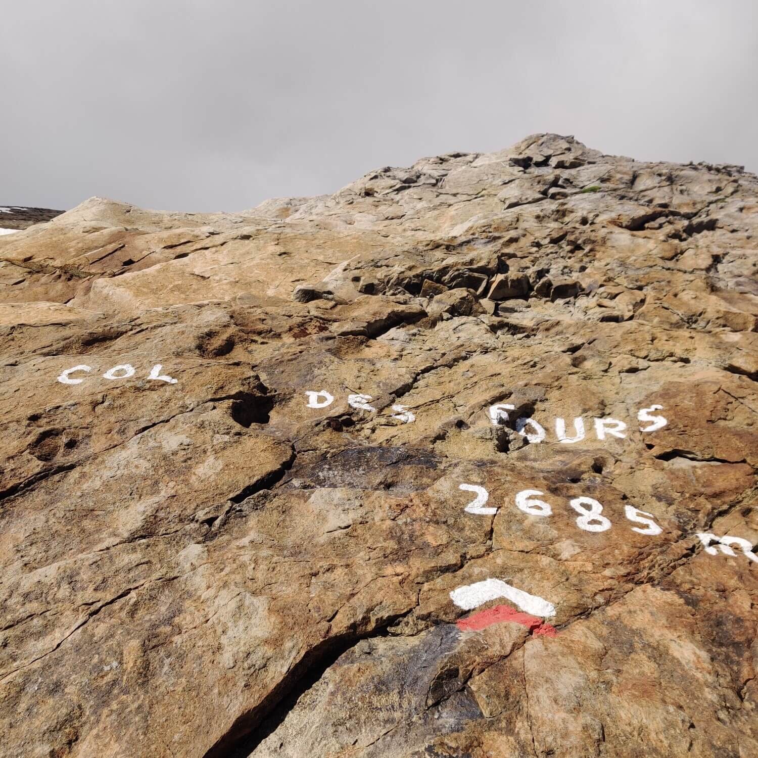
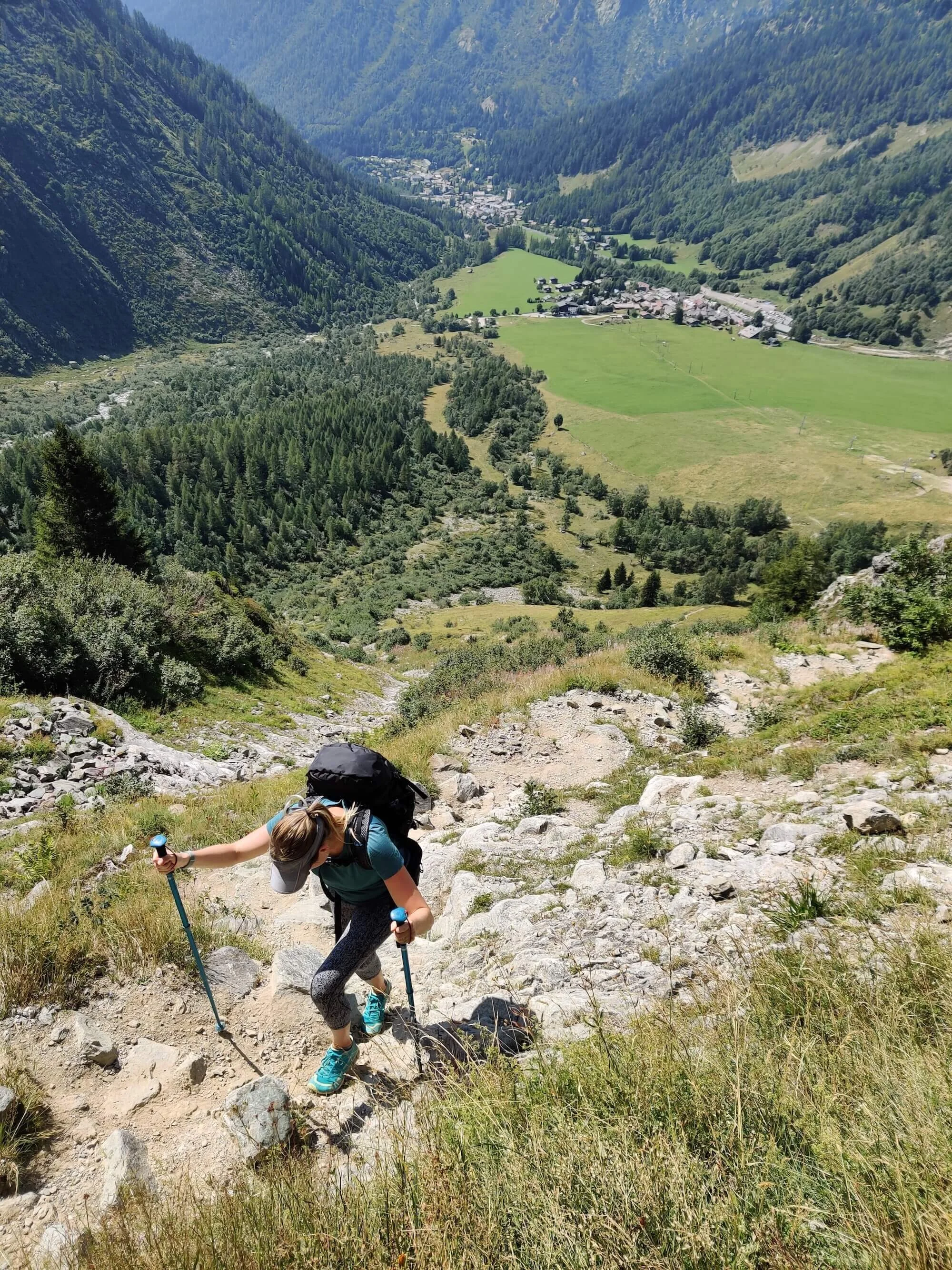
This variant is more direct than the main trail and is appropriate for those who wish to skip Le Chapieux. It has some steep eroded trail sections and water crossings but provides great views of the Southern end of the Mont Blanc Massif.
Difficulty: Hiking and mountain trail.
A variant is a more challenging traverse of the massif between the Refuge des Mottets and Col de la Seigne. It adds significantly more distance and elevation than the main trail.
Difficulty: Mountain trail.


This section takes you to an high alpine plateau and the highest points along Val Veny to look further into the Mont Blanc massif
Difficulty: Mountain trail.


This variant follows the Fiume Dora di Veny river on a combination of road, track, and trail. It is a significantly easier route than the main trail.
Difficulty: Hiking trail


This variant climbs higher than the main trail onto a rounded ridgeline allowing you to looker deeper into the massif. It adds notable distance and elevation than the main trail.
Difficulty: Mountain trail.

This variant previously was the main trail. It includes a high plateau, alpine meadows, and balcony trail.
Difficulty: Mountain trail.


This variant is quite challenging due to a long boulder field crossing and a steep eroded mountain pass. However, it offers breathtaking views of the Trient Glacier. It has significantly more elevation change than the main trail.
Difficulty: Mountain trail.


This variant offers a great opportunity to enjoy the Trient Glacier and includes a stone staircase. It is a great option for those who wish to skip Trient / Le Peuty.
Difficulty: Mountain trail.

A useful alternative trails for those that are staying in Vallorcine and would like a more direct route between Le Tour ski area and Trient valley. It also follows the UTMB course for those inspired to follow this route.
Difficulty: Mountain trail.
This variant is suitable for those staying in Vallorcine or who want to catch the train to skip ahead or exit the trail.
Difficulty: Hiking and mountain trails.

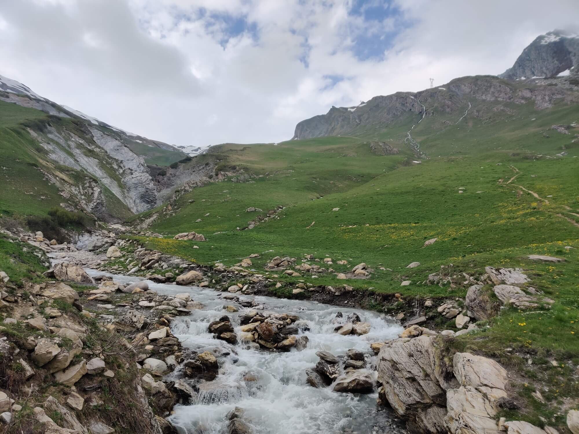
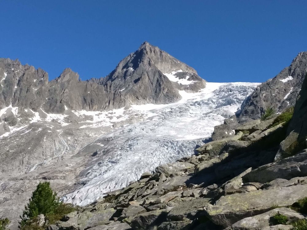
This variant is the only opportunity to see a glacier up close on the Mont Blanc massif while hiking the Tour du Mont Blanc. It is an out-and-back route and therefore adds significant distance and elevation.
Difficulty: Mountain trail.


This trail goes through the Le Tour ski area and avoids the downhill mountain bike tracks.
Difficulty: Mountain trail

This variant is great for those who wish to avoid the ladders on the main trail and has minimal impact on hiking stats.
Difficulty: Mountain trail
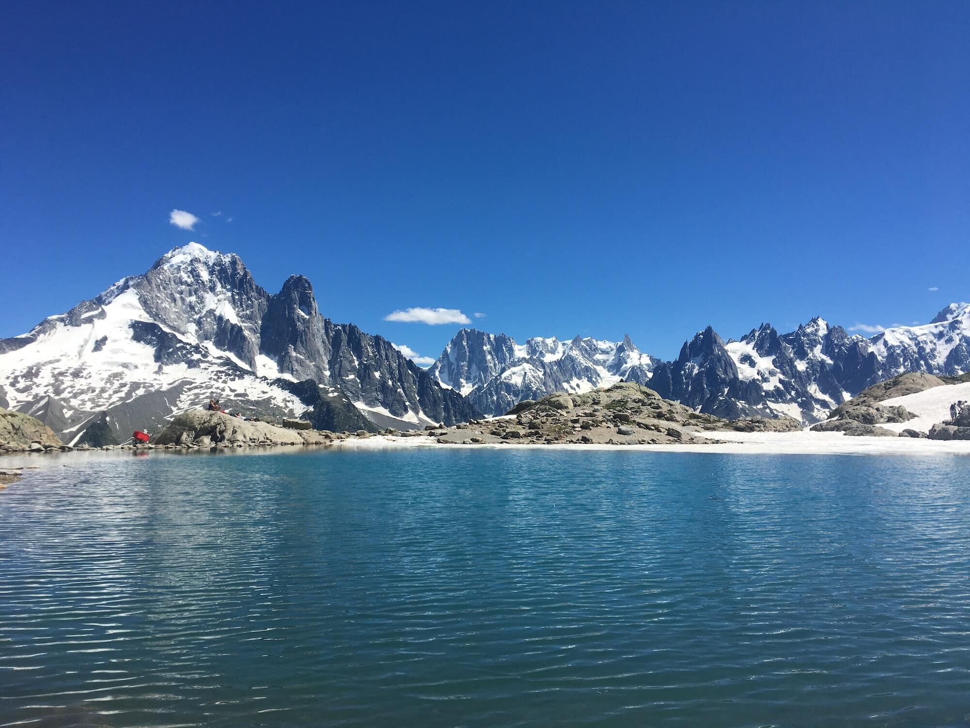
This variant allows you to look deeper into Mer de Glace across the valley and features the popular picturesque lake. It adds notable distance and elevation than the main trail.
Difficulty: Mountain trail.

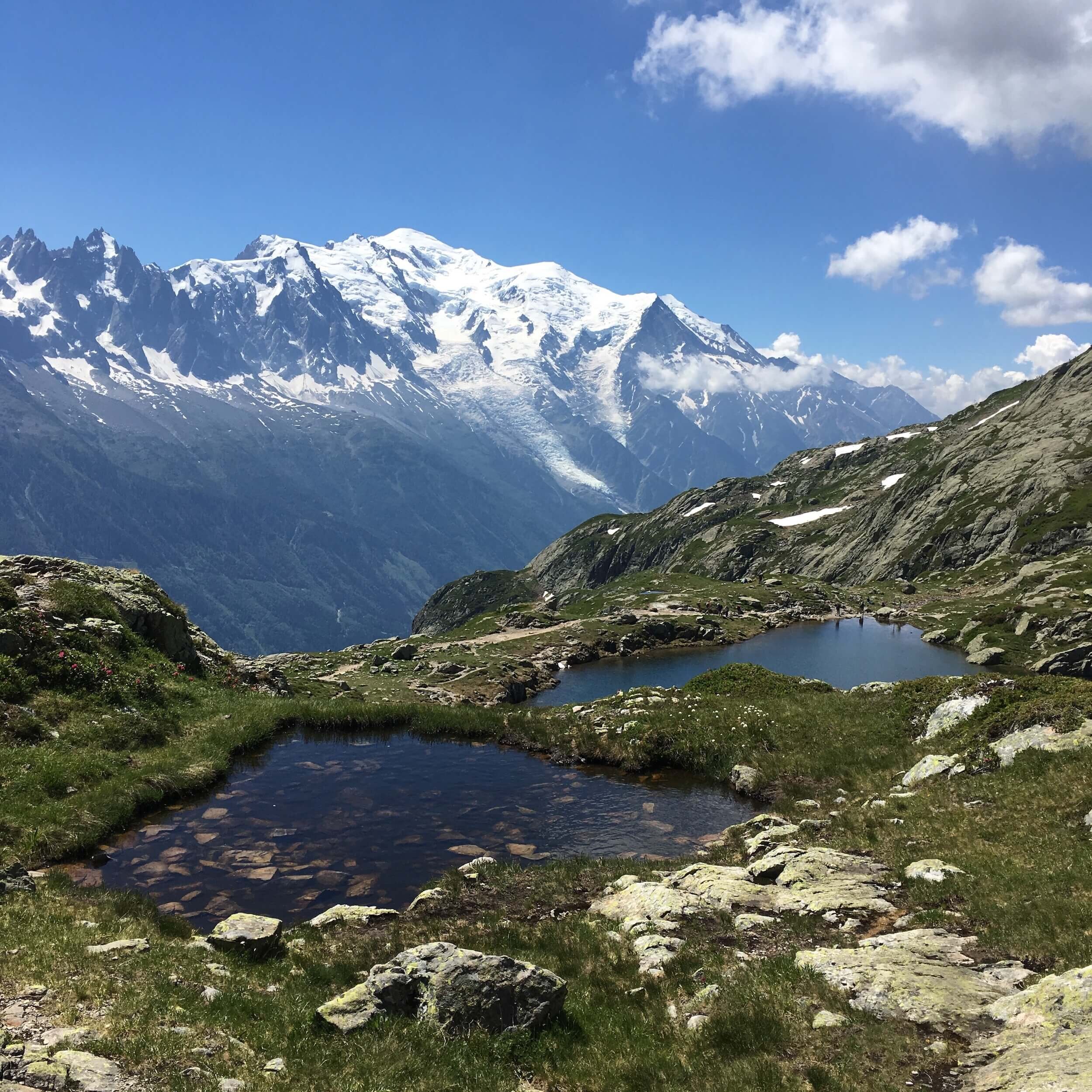

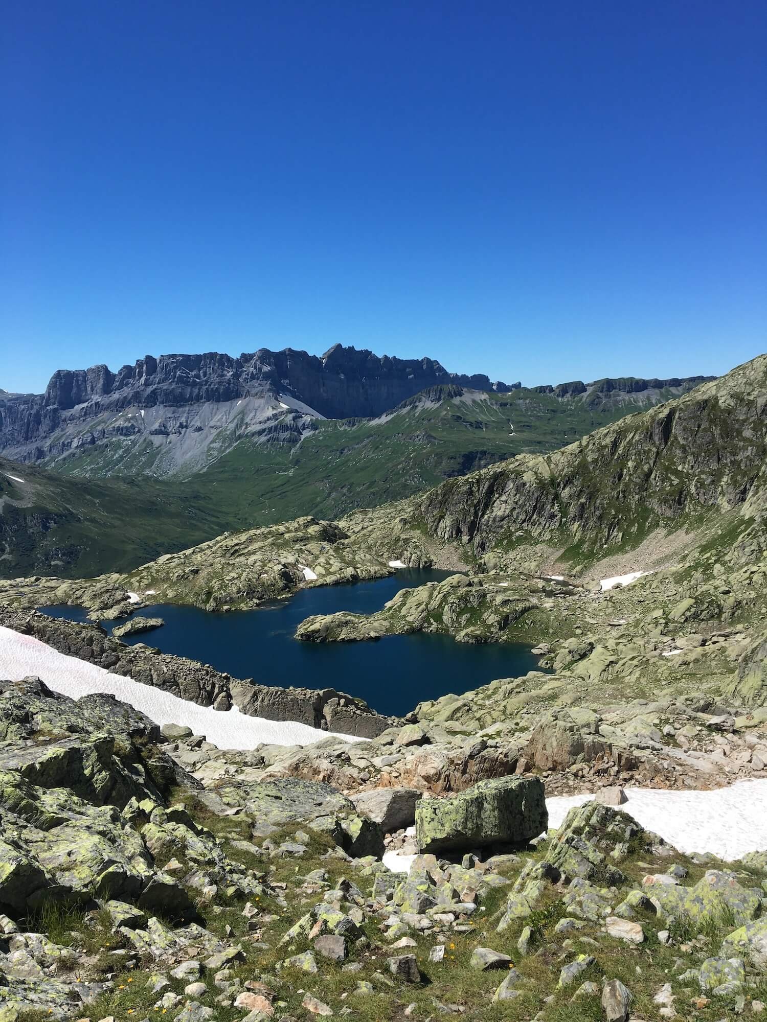
This variant follows a high route on the Aiguilles Rouges and leads you past some alpine lakes on the other side of the ridge. It has minimal impact on hiking stats.
Difficulty: Mountain trail


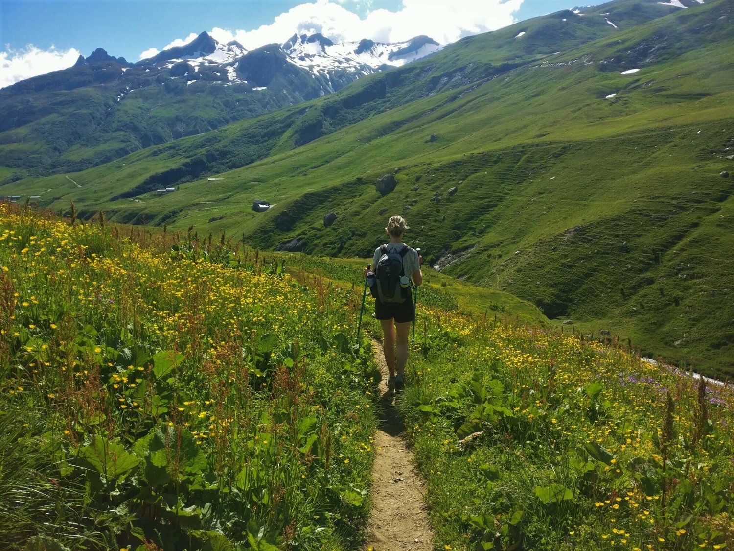
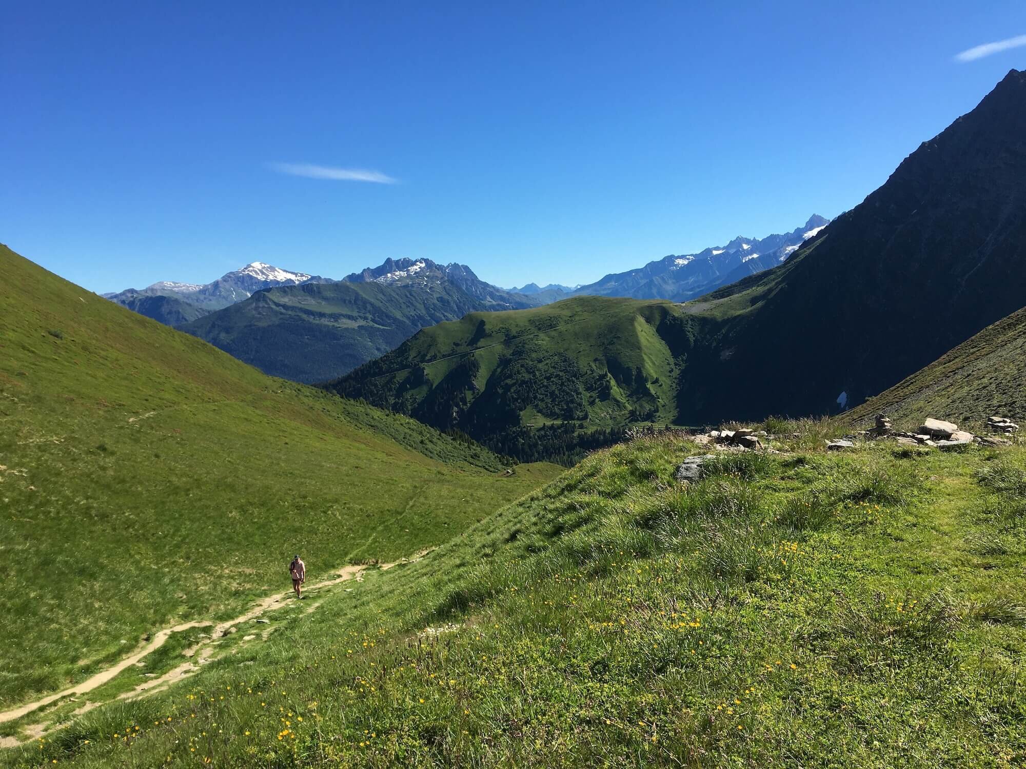
This variant passes through the wet alpine meadows of Carlaveyron while enjoying 360 degree views of Mont Blanc and its neighbouring peaks which includes Aiguille Verte and Mont Joly. You can see the Aiguilles Rouges massif up to Mont Buet and the Fiz chain with the Pointe d'Anterne.
Difficulty: Alpine trail

