
The Top 8 Alternate Routes of Tour of Monte Rosa
For those that haven’t hiked in the Alps before, it is important to understand that the Alps offer a network of trails. There is not just “one” clearly marked Tour of Monte Rosa trail that circumnavigates the massif. There are countless trail junctions that offer different - or alternate - routes throughout the area.

Tour of Monte Rosa: High level map from our planning app showing the trail around the massif which is located at the intersection between the Italian and Swiss borders. The red line indicates the “main trail” and the dark blue line indicates the “alternative trails”.
The “standard” Tour of Monte Rosa trail is 162 km / 100 mi. It passes through major villages such as Saas Fee and Zermatt. It crosses the Theodul glacier. It follows 2 of the most spectacular balcony trails in the Alps: Europaweg and Hohenweg.
But did you realise that there are lots of exciting alternate routes you can incorporate into your hike to make it even more epic? Or alternate routes that allow you to skip some of the more difficult and challenging sections!
Many TMR hikers choose to take one or more alternate routes along their journey to include a specific highlight (such as Hornli Hut), avoid difficult terrain (such as Valley Trail instead of Europaweg) or stay at a prominent accommodation option (such as Britannia Hut along the Glacier Trail).
JOIN ONE OF OUR ONLINE EVENTS


Below we highlight 8 of the most popular alternate routes for the Tour of Monte Rosa, including:
Colle de Pinter Trail (Via Gressoney La Trinite & Crest)
Breithorn Summit (*Recommend hiring a guide)
Valley Trail (From Zermatt to Grachen)
For The Hiking Club customers, these alternate routes are available to select within the trip planning web app for the Tour of Monte Rosa. Time to get planning!
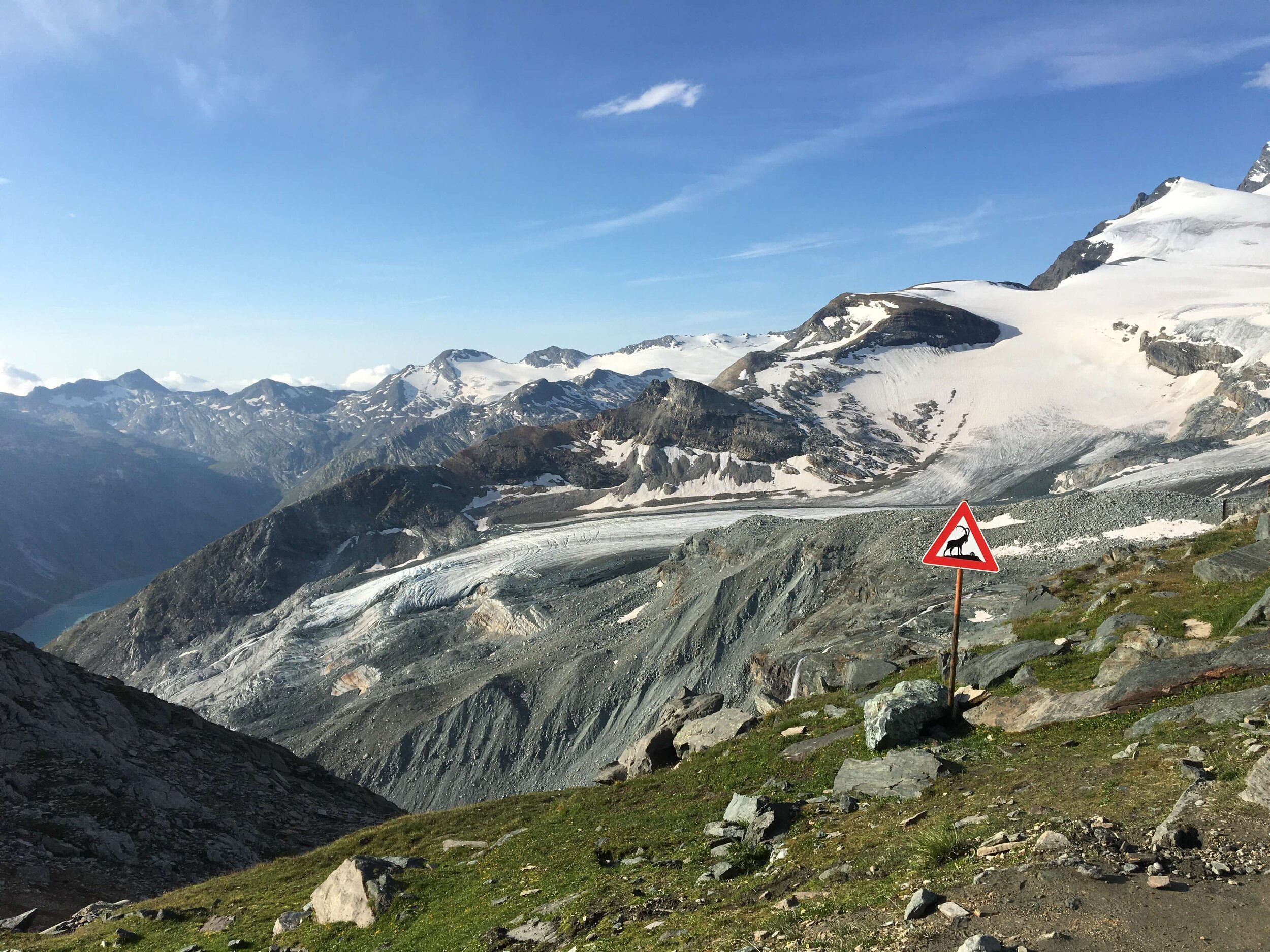
Trail sign along the Tour of Monte Rosa, showing many different route options at the trail junction.
OUR SELF-GUIDED HIKING PACKAGES
The Top Alternate Routes for the Tour of Monte Rosa
1. THE GLACIER TRAIL
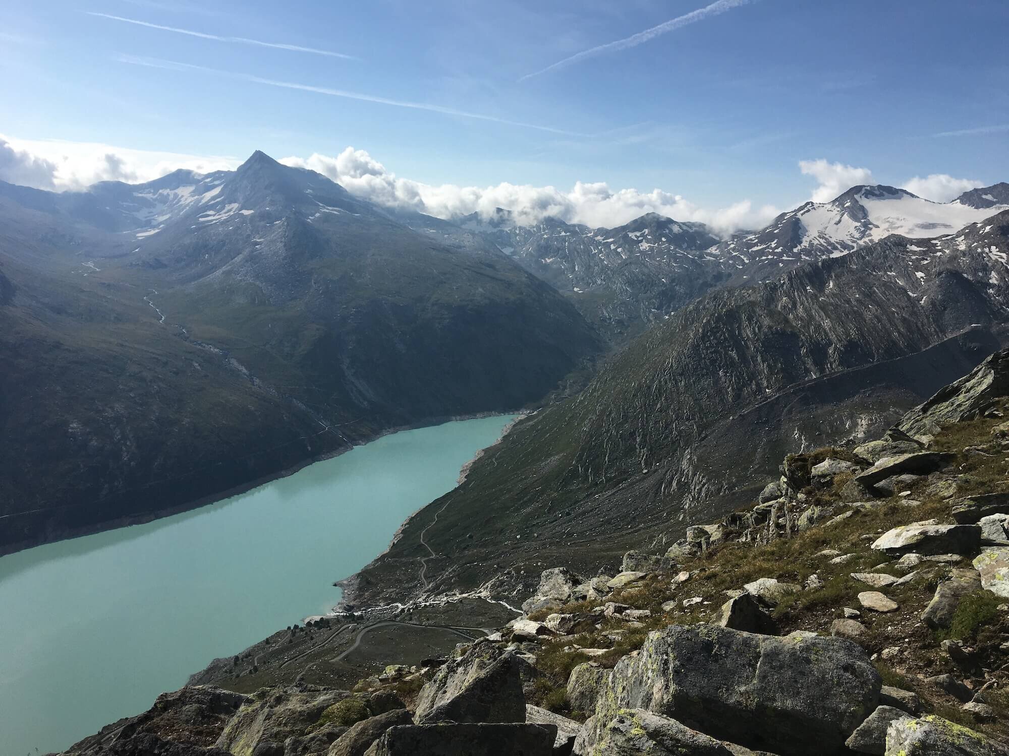
Between Saas Fee and Stausee Mattmark
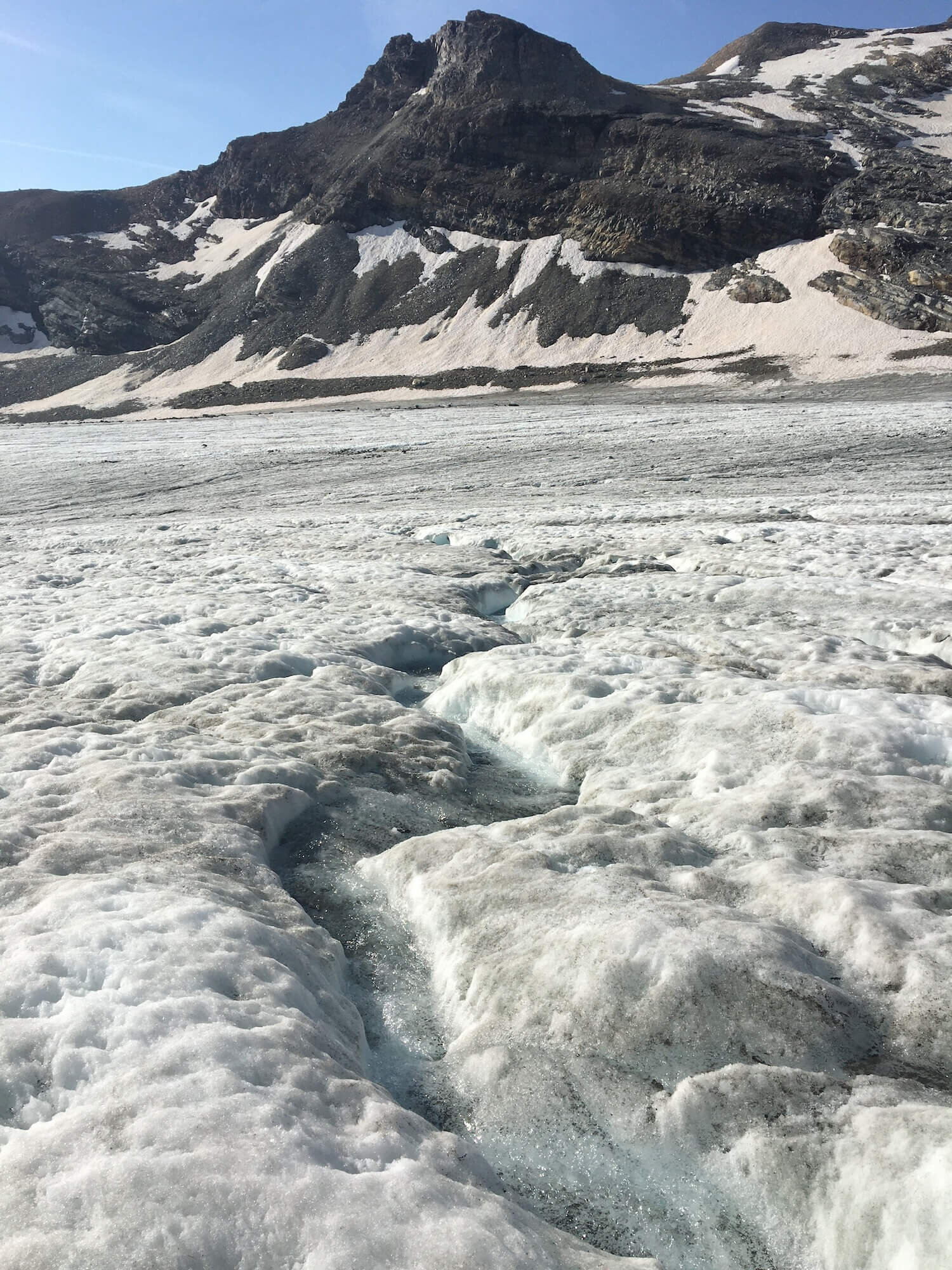
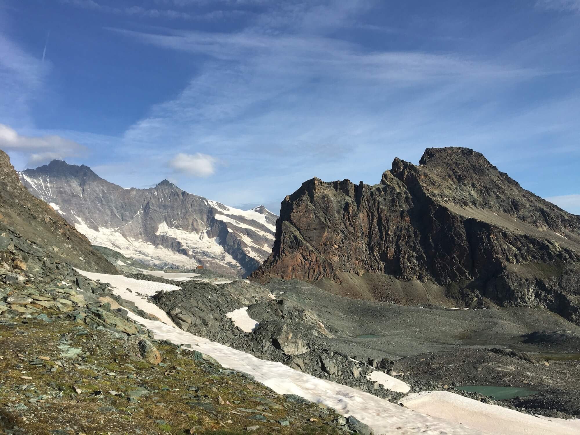
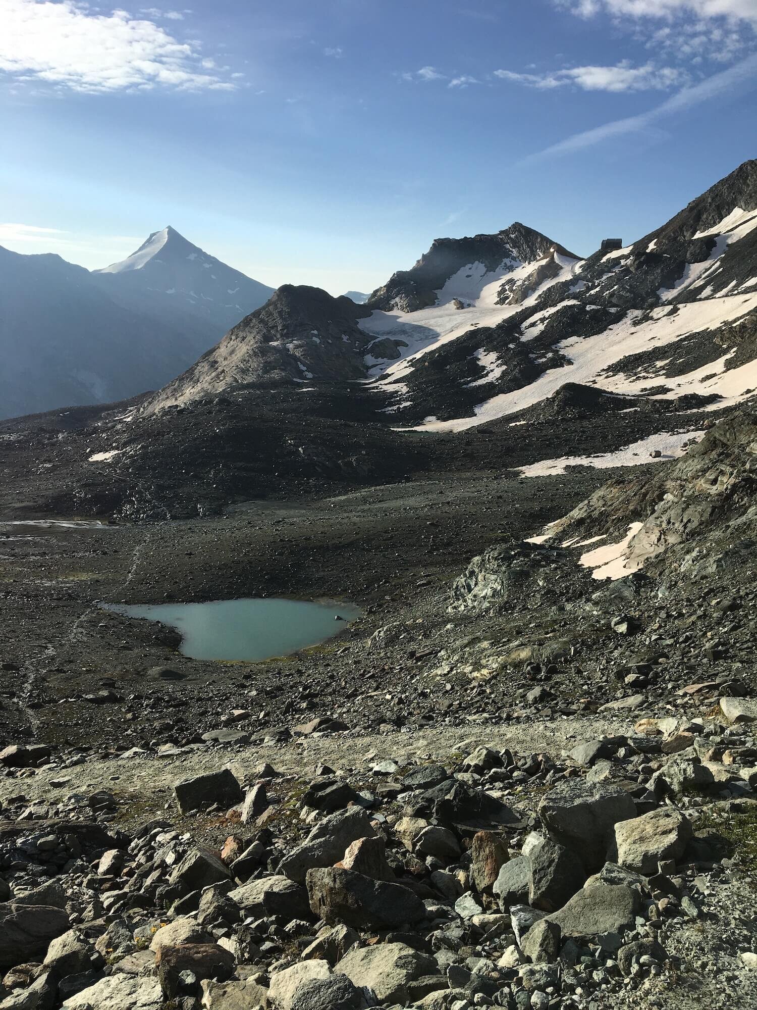
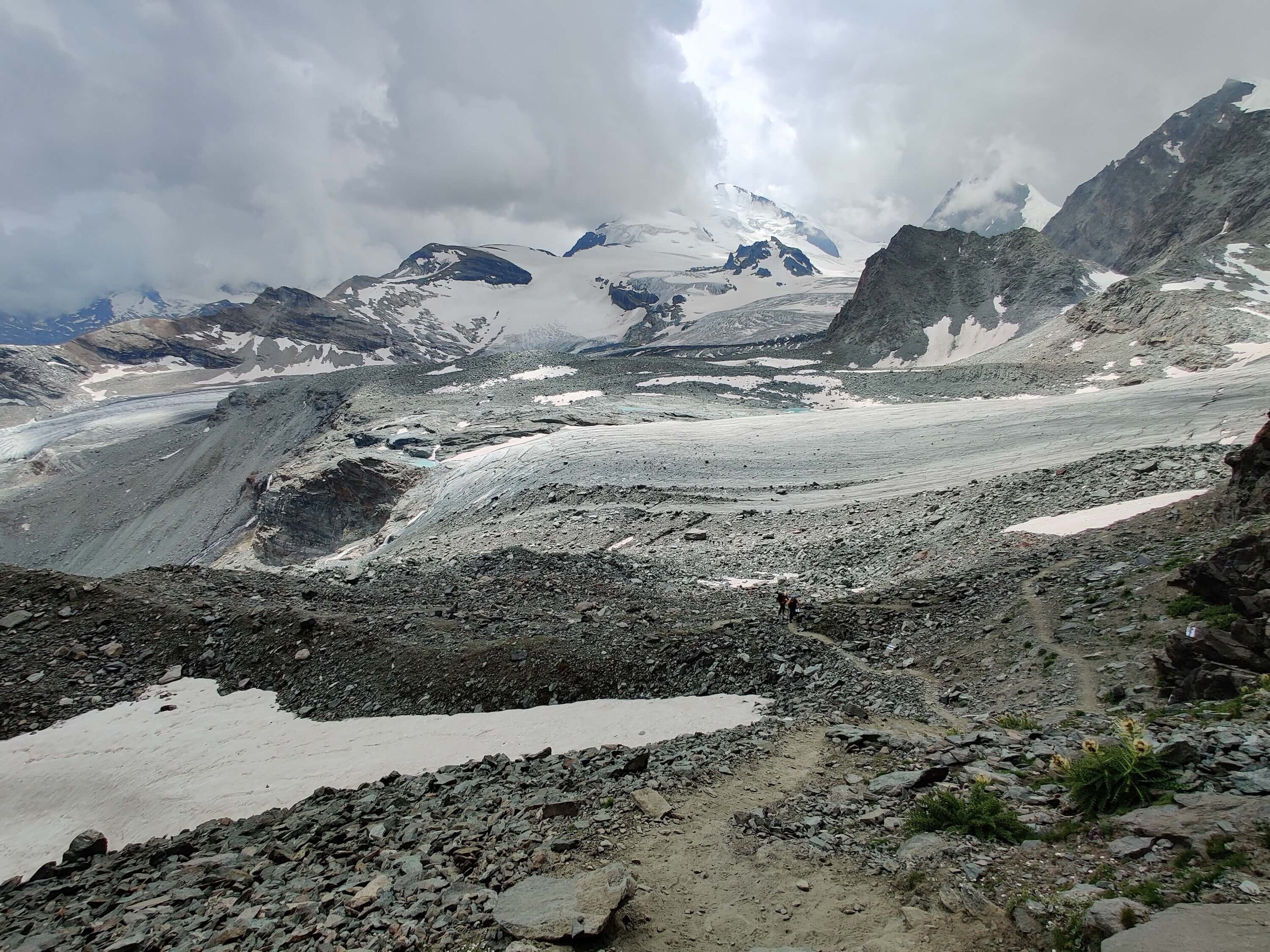
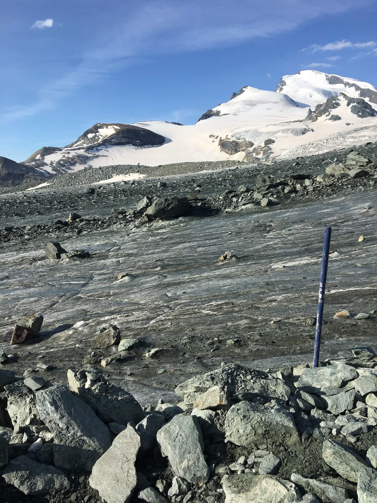
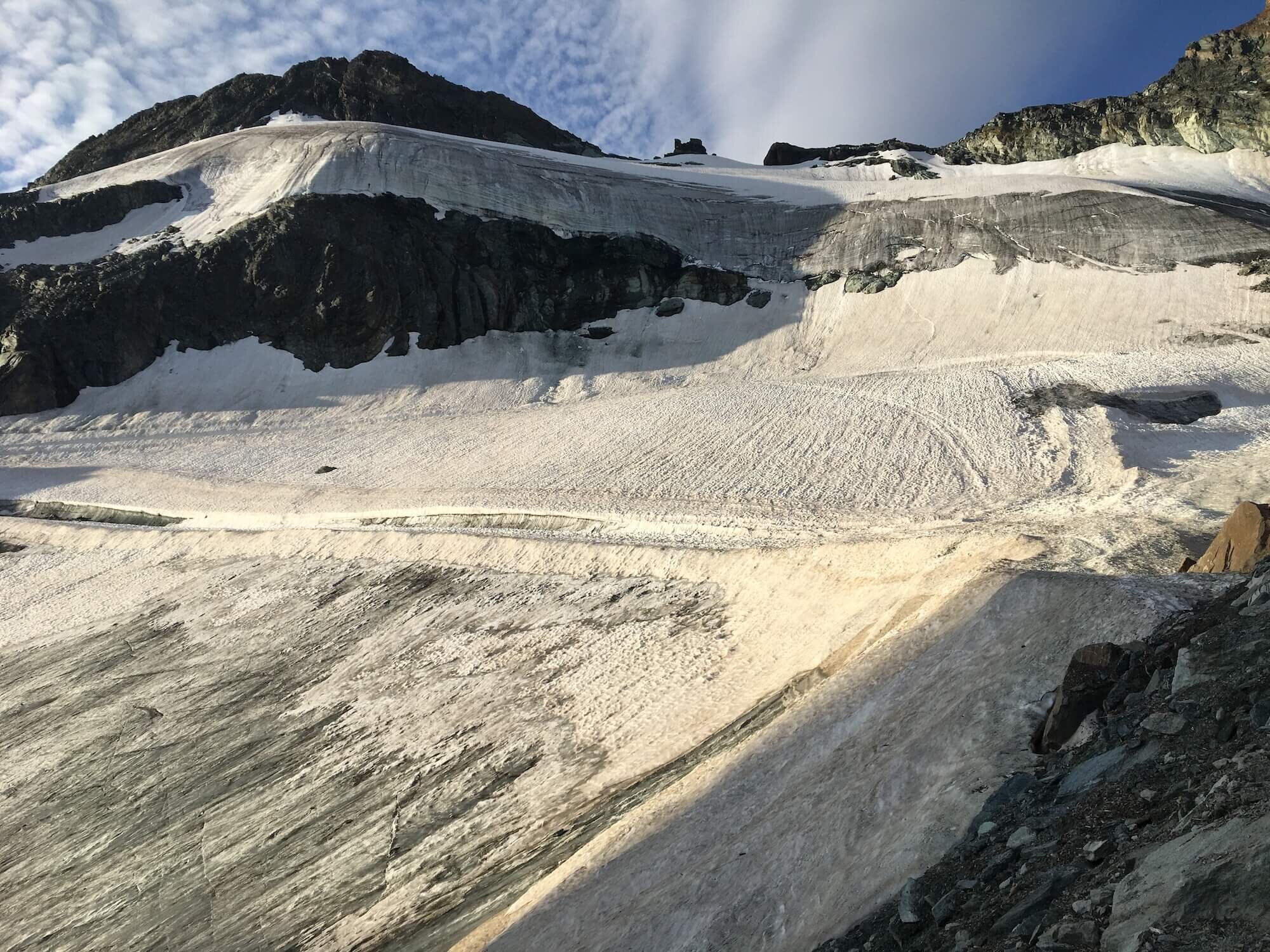
What makes it special? This trail crosses two glaciers - Hohlaub and Allalin - via way marks that are installed and monitored by the Swiss Alpine Club at Britannia Hutte. The opportunity to safely cross two glaciers without a guide is unique. The route avoids cervasses and difficult features, therefore, ropes/specialised gear is not required.
Difficulty: Combination of Mountain and Alpine Trail. Narrow at times, some cables to assist, boulder crossings, exposure and glacier crossings.
Trail Junction Points: This trail diverts and rejoins the main trail at Saas Fee and Stausee Mattmark.
Considerations:
The way marked trail opens mid July.
Choosing this route may add 1 day to your overall itinerary due to additional distance and elevation change compared to the main route.
There is an option to take the Alpin Express Gondola between Saas Fee and Felskinn to skip the steep climb/descent through the ski area.
2. THE ALPE BORS TRAIL
Between RIFUGIO PASTORE AND Rifugio Guglielmina (CLOSED)
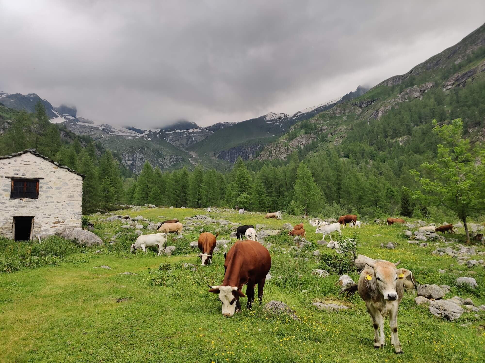
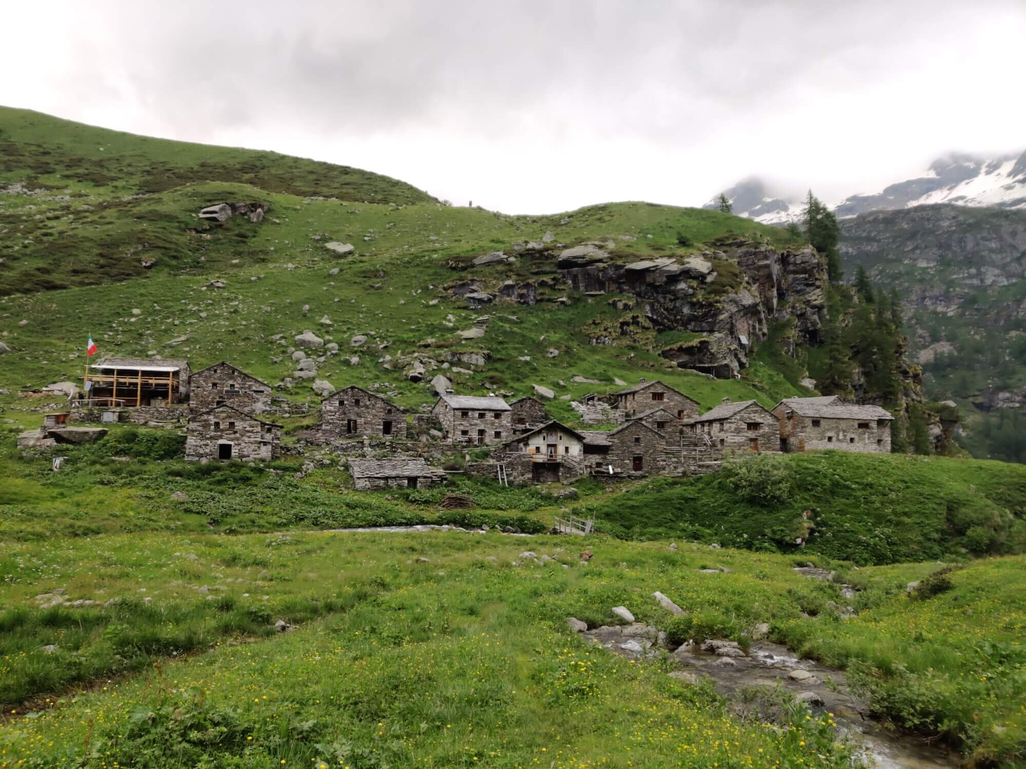
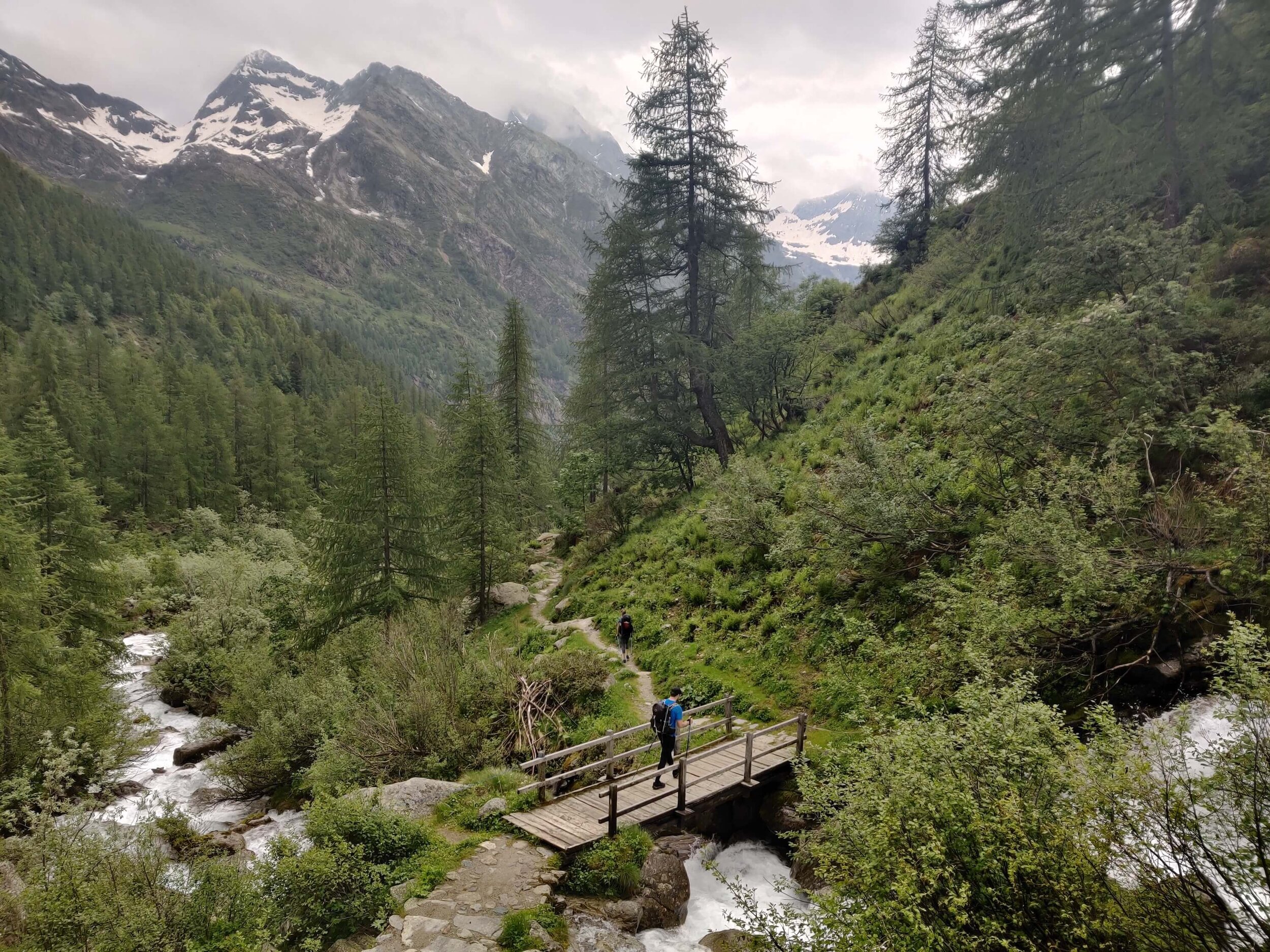
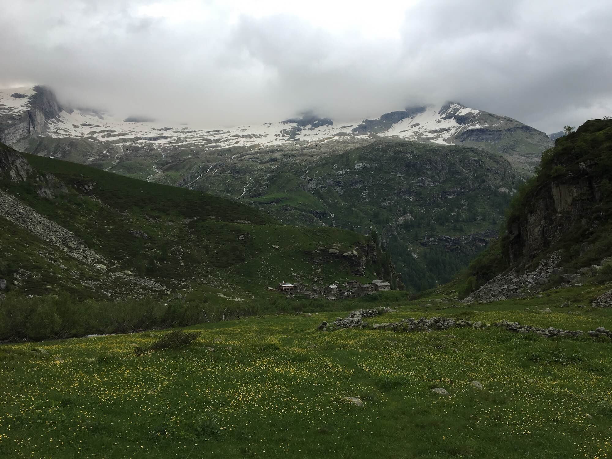
What makes it special? This remote alternate route is a more direct option to the main trail and therefore allows hikers to skip ahead faster. It bypasses the old stone buildings of Alpe Bors and the remote valley of Vallone delle Pisse.
Difficulty: Combination of Mountain and Alpine Trail. Infrequent trail markers, narrow/overgrown at times, boulder crossings, exposure and steep rocky scree to cross the Vallico di Cimalegno pass.
Trail Junction Points: This trail diverts and rejoins the main trail at Rifugio Pastore and the (closed) Rifugio Gugliemina.
Considerations: Make sure you are comfortable with crossing rocky scree and have your GPS map for route finding (if required).
3. Colle de Pinter Trail
Between Gabiet and Junction Alpe Varda
What makes it special?
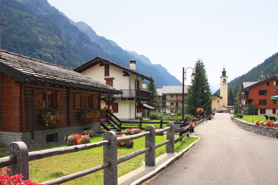
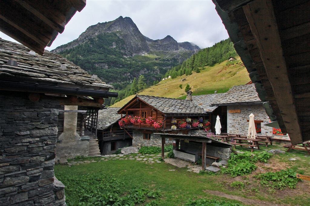
This route is more picturesque, passing through more villages and hamlets such as Gressoney La Trinite and Alpenzu. It also offers 2 camping locations (1 campground and 1 bivouac), whereas there aren’t any on the main trail in this section of the Tour of Monte Rosa.
Difficulty: Mountain Trail.
Trail Junction Points: This trail diverts and rejoins the main trail at Gabiet and Junction Alpe Varda (near Resy).
Considerations: This is a longer route than the main trail but does offer many accommodation options along the way, including campground, bivouac, rifugios and hotels.
4. Colle della Bettaforca Trail
Between Sitten and Resy

What makes it special? This alternate route is great for those looking to skip ahead as there are 2 chairlifts that get you up and over Colle della Bettaforca. For those that don’t choose to take the chairlifts, the trail is mostly through the ski area, but does offer good views of the Lys Glacier in the distance.
Difficulty: Mountain Trail.
Trail Junction Points: This trail diverts and rejoins the main trail at Sitten and Resy.
Considerations: The chairlifts operate from start July to start September. We provide the full schedule and prices in our GPS maps.
5. Ventina Glacier Trail
Between Colle Sup Cime Bianche and Theodulpass
What makes it special? For those looking to add another glacier crossing to their itinerary, this is a more direct route than the main trail. Although a short glacier crossing, it is steep and can be quite icy. Only choose this route if you have the experience and appropriate equipment to cross a glacier.
Difficulty: Alpine Trail. Unmarked glacier crossing, steep in sections and icy patches.
Trail Junction Points: This trail diverts and rejoins the main trail at Colle Sup Cime Bianche and Theodulpass.
Considerations:
Our GPS maps do not provide trail markers as hikers must assess the conditions to choose the best route.
It is recommended to cross the glacier in the morning when it is most stable.
If conditions are not favourable, either follow the main trail or take the Come Bianche cable car to skip this section (full schedule and prices in our GPS maps).
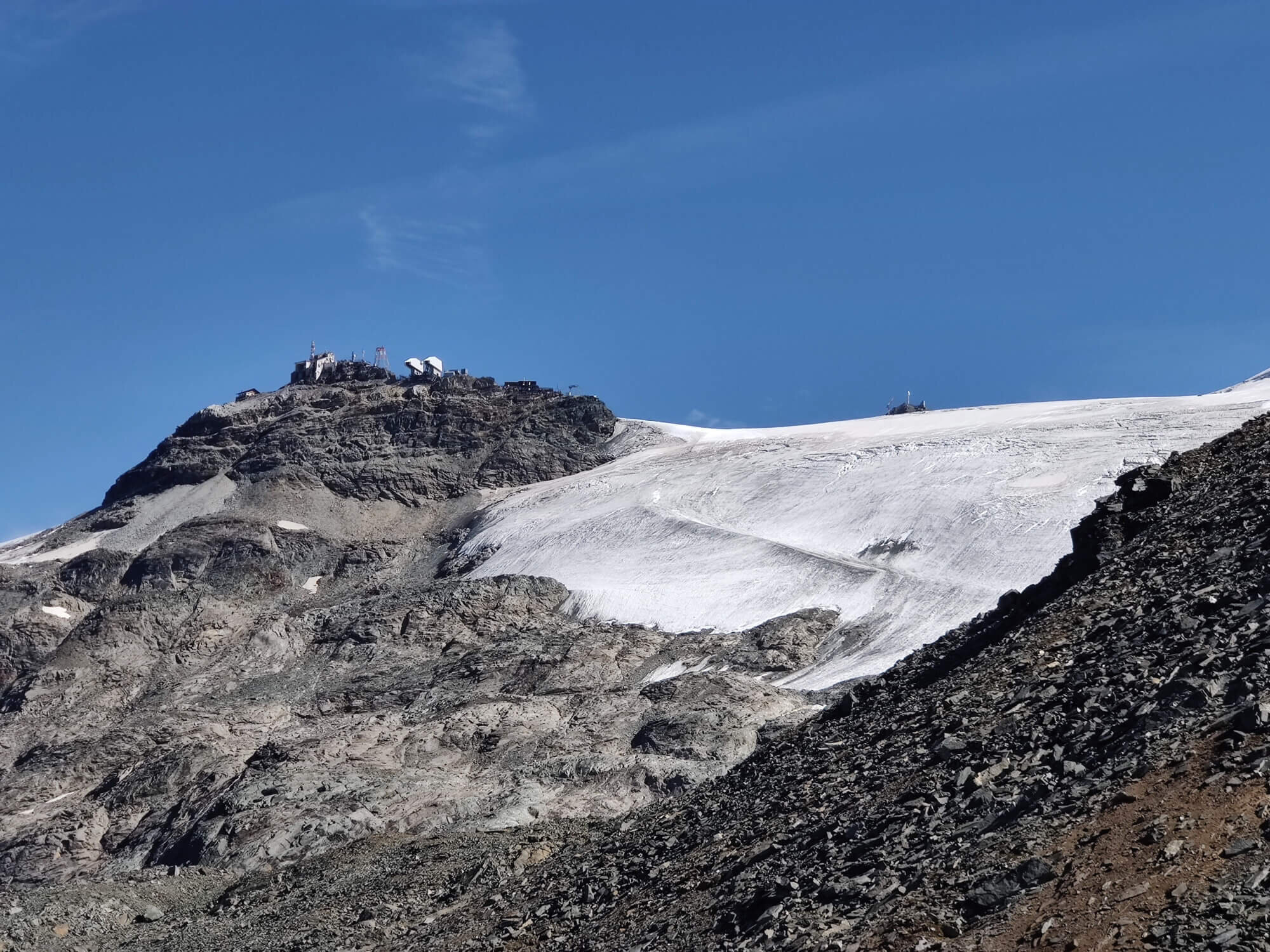
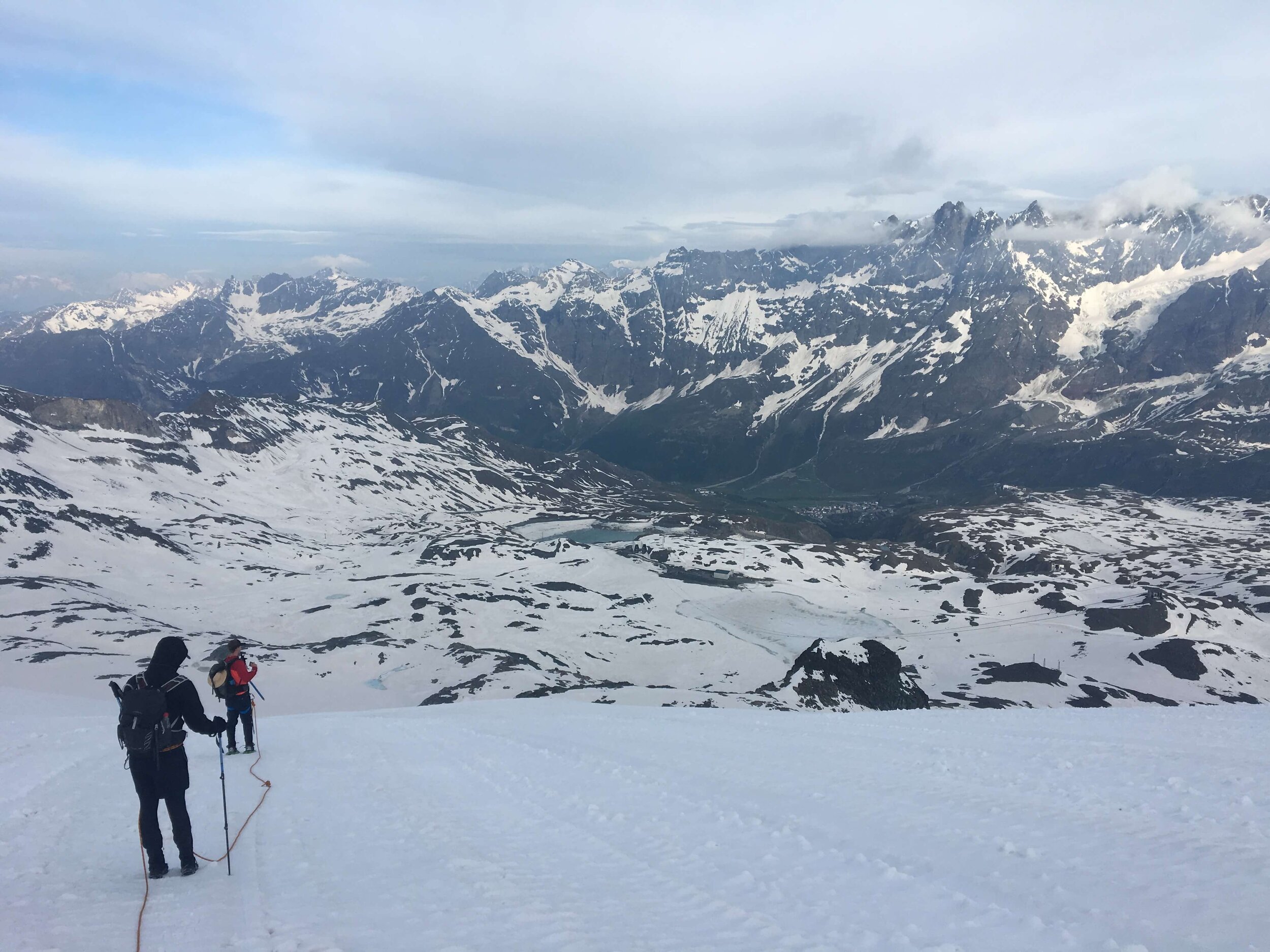
6. Breithorn Summit
From Theodulpass
What makes it special? The summit of Breithorn (4,164m / 13,661ft) can be reached by diverting from the Tour of Monte Rosa trail at Theodulpass or Rifugio Guide del Cervino. The Breithorn is considered one of the most easily climbed 4,000m peak in the Alps and can be completed in about half a day. It is therefore a great extension for hikers completing the TMR. The typical route up to the summit crosses a glacial plateau and a 35 degree snow slope which requires mountaineering skills to safely complete. For this reason we recommend booking a qualified local mountain guide to summit the peak.
Difficulty: Mountaineering Route.
Trail Junction Points: This trail diverts and rejoins the main trail at Theodulpass.
Considerations:
Choosing this option may add 1 day to your overall itinerary due to additional distance and elevation change.
As this is a mountaineering route, we do not provide GPS maps or support.
We provide customers with recommendations of local guide companies that can assist in the half day summit. Price from 96 EUR per person (in group of 5) or 380 EUR for one person.
7. Hornli Hut Trail
Between Trockener Steg Lift Top and Furi Lift Station (within the Zermatt Ski Area).
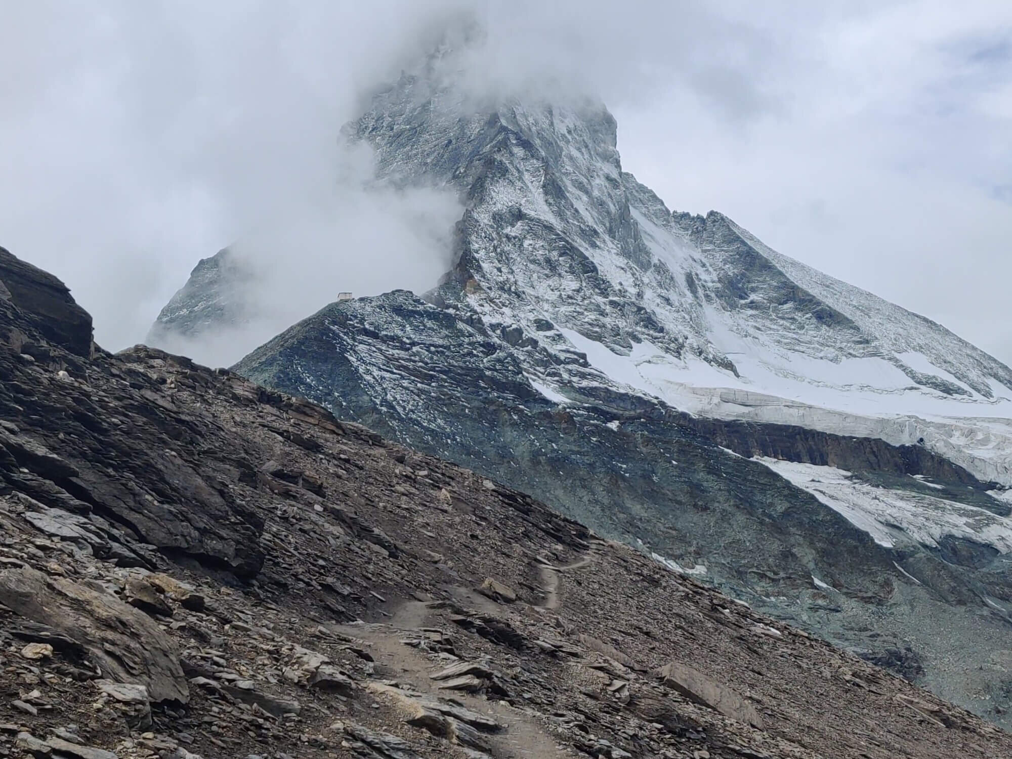
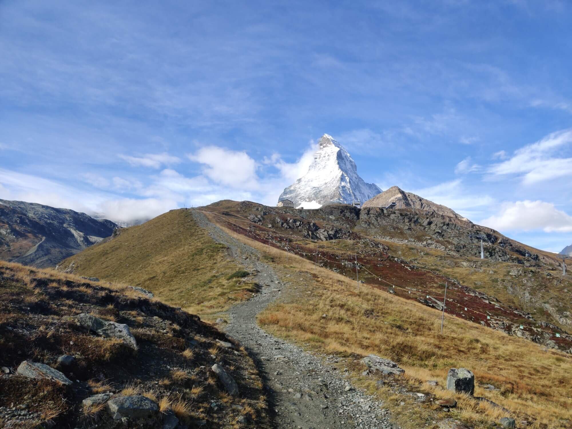
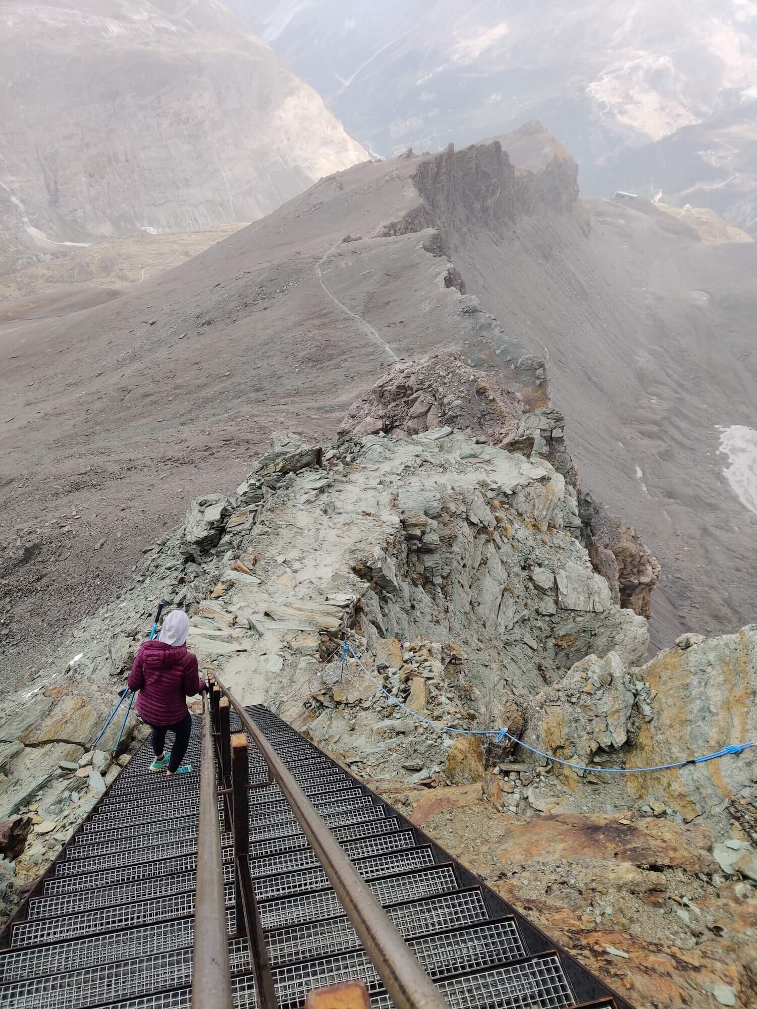
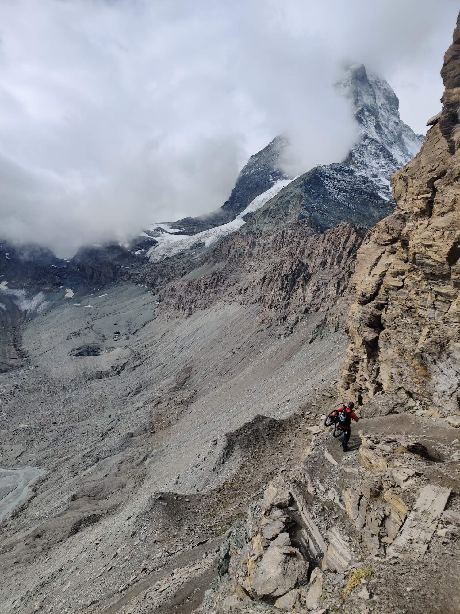
What makes it special? Hornli Hut is located at the foot of the Matterhorn at 3,260m / 10,696ft. It is the "base camp" for those mountaineers wanting to summit the Matterhorn, or those wanting to get close enough to touch it! The final section to reach the hut is steep, but has stairs and chains to assist.
Difficulty: Mountain and Alpine Trail.
Trail Junction Points: This trail diverts and rejoins the main trail at Trockener Steg Lift Top and Furi Lift Station, within the Zermatt ski area.
Considerations: Choosing this option may add 1 day to your overall itinerary if you choose to stay overnight.
8. Mattertal Valley Trail
Between Zermatt and Grachen
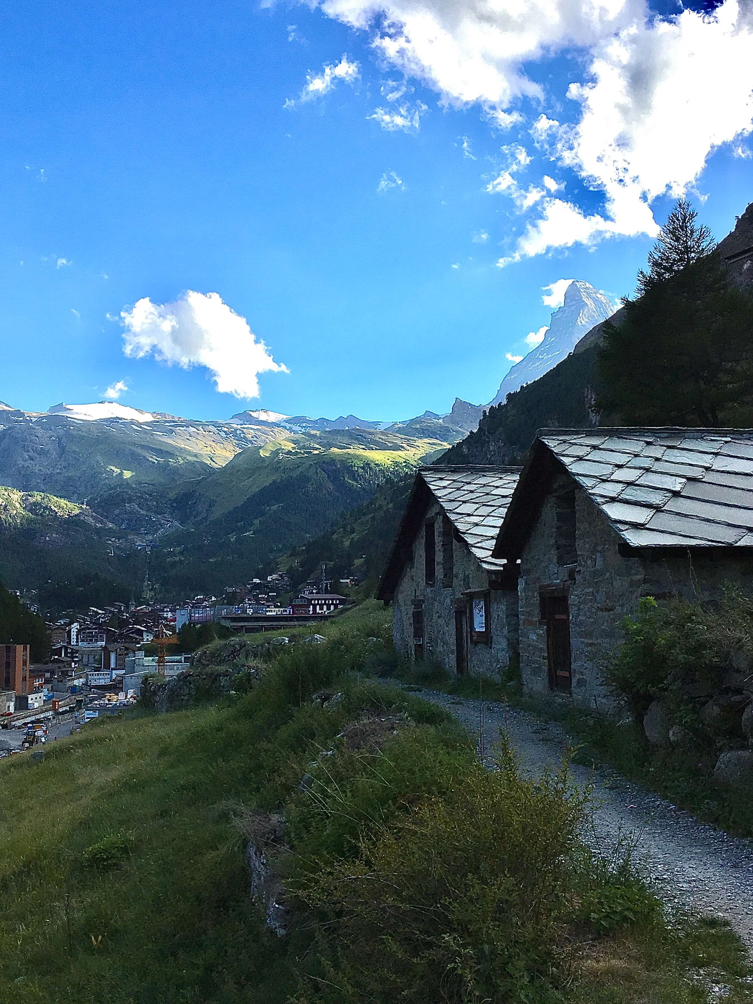
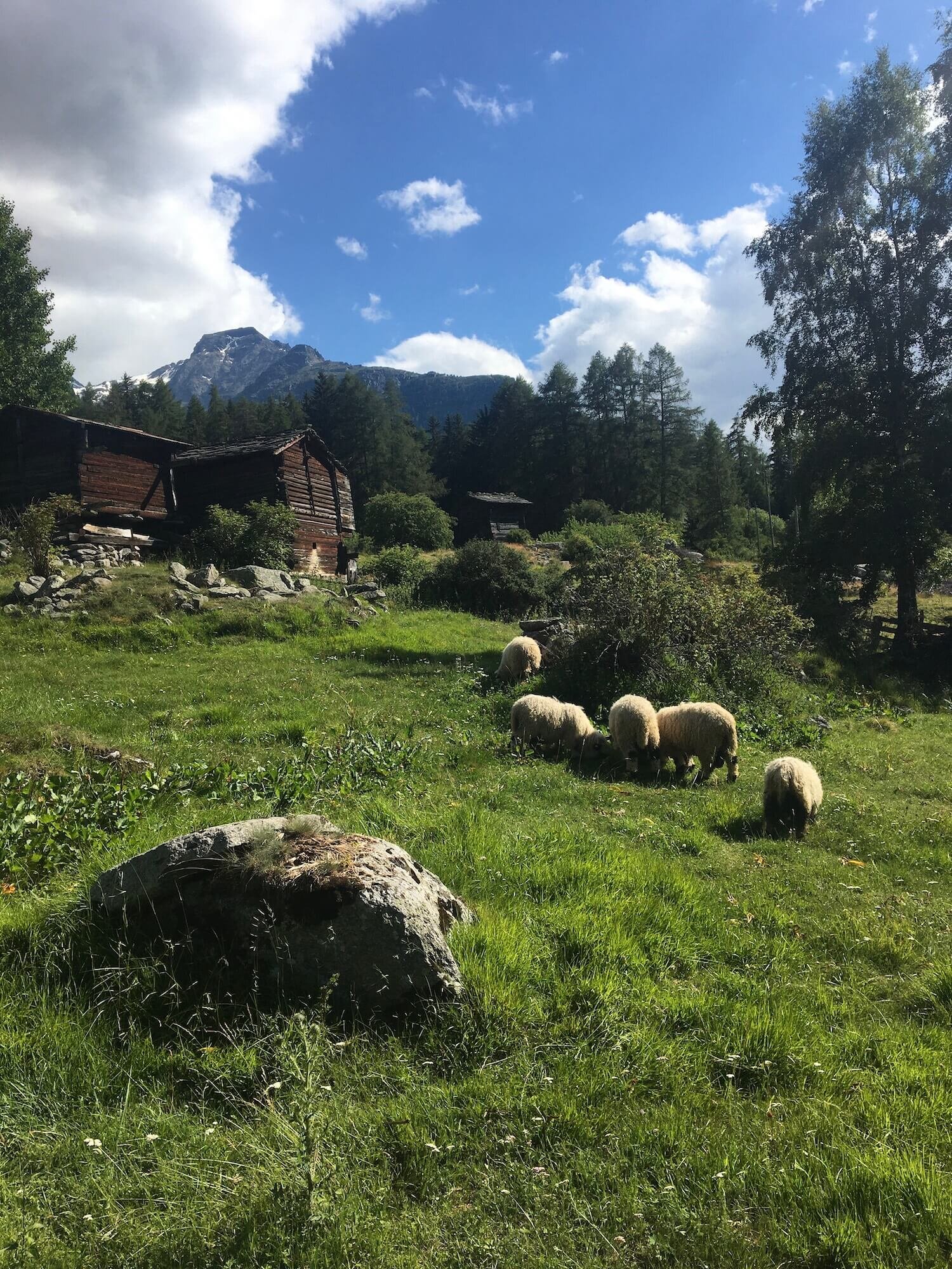
What makes it special? This alternate route skips the infamous “Europaweg” - a spectacular balcony trail that has narrow sections and cables at times, boulder crossings, exposure, an increased risk of avalanche impact and a 500m long suspension bridge. If that doesn’t sound down your alley, the valley trail is a great option to take an easy day to wander alongside the Matter Vispa river.
Difficulty: Hiking Trail.
Trail Junction Points: This trail diverts and rejoins the main trail at Zermatt and Grachen.
Considerations: Choosing this option may reduce your overall itinerary by one day.
Well that’s it - our list of top alternate routes for the Tour of Monte Rosa. If you want more reading, check out our detailed blog post of the Main Trail sections of the Tour of Monte Rosa. We hope this helps you decide on which routes to include (or exclude!) on your epic hike around Monte Rosa.
Happy Planning!
Brendan
Founder, The Hiking Club
READY TO START PLANNING YOUR OWN TOUR OF MONTE ROSA HIKE?

Everything you need to plan, book, prepare and navigate your adventure. This package includes;

Access a trail expert to prepare an itinerary that meets your needs.
This package includes;
Personalised itinerary designed by our trail expert