
Tour du Mont Blanc: Main Trail
Tour du Mont Blanc (known on the trail as TMB) is the most famous multi-day alps hiking journey in Europe. Mont Blanc, or “White Mountain”, is the highest mountain in the European Alps at an imposing 4,810m (15,781 ft). The tour follows well-maintained trails through France, Italy, and Switzerland as it leads hikers around the Mont Blanc massif.
As with all multi-day legendary trails in the Alps, there is a “main / classic” route and then many variations, shortcuts, and detours for hikers to choose from. The main route is:
Distance: 166km / 103mi
Elevation gain: 10,000m / 32,700 ft
Highest point: 2,526m / 8,287 ft
Number of mountain passes/peaks crossed: 10
Number of days: 10 (at Steady pace)
By including alternative routes, it’s possible to shorten the trail by 4km / 2.5mi or extend the trail by 12.5km / 7.8mi with an extra 1,766m / 5,794ft additional elevation gain. These differences combined with the different speed and experience of hikers means that it can take anywhere from 6 to 12 days to complete the journey around Mont Blanc.
Below we take a “walk” through all the different sections of the main Tour du Mont Blanc trail, including images, descriptions, and trail stats. If you’d like to skip to a specific section of the trail, click on the below link:
Le Champel Trail: Between Les Houches and Les Contamines-Montjoie
Les Chapieux Trail: Between Les Contamines-Montjoie and Col de la Seigne
Val Ferret (Italy) Trail: Between Courmayeur and Grand Col Ferret
Val Ferret (Switzerland) Trail: Between Grand Col Ferret and Champex-Lac
Grand Balcon Sud Trail: Between Col des Montets and Plan Praz
JOIN ONE OF OUR LIVE ONLINE EVENTS


Alternate Routes
For those that haven’t hiked in the Alps before, it is important to understand that the Alps offer a network of trails. There are countless trail junctions that offer different - or alternate - routes while hiking around Mont Blanc.
Many TMB hikers choose to take one or more alternate routes along their journey to include a specific highlight (such as Le Tour Glacier), stay at a prominent accommodation option (such as Lac Blanc) or take a more direct route (such as Col des Fours).
For more details of the top alternate routes of the Tour du Mont Blanc, read our detailed blog post.
OUR SELF-GUIDED HIKING PACKAGES
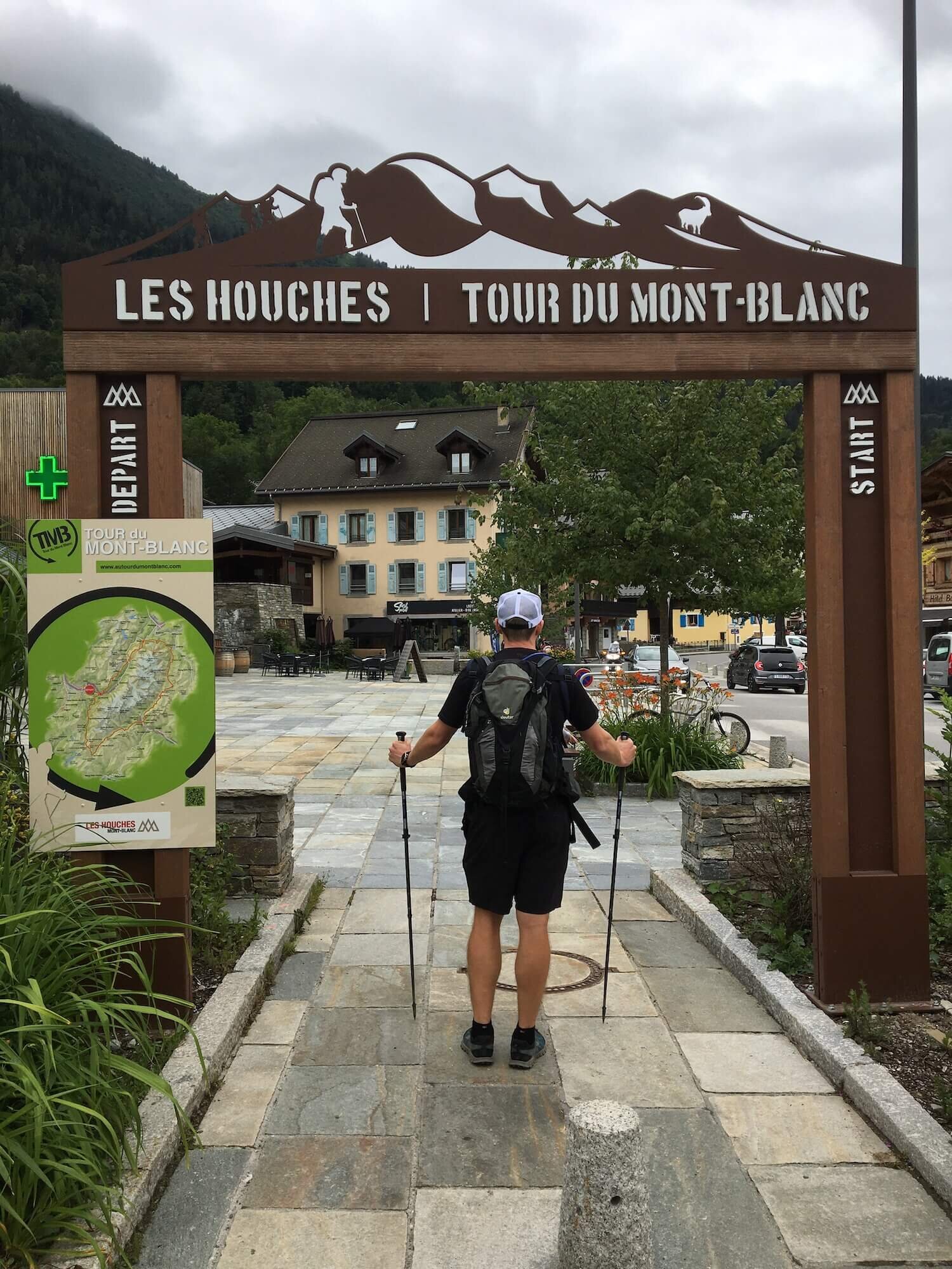
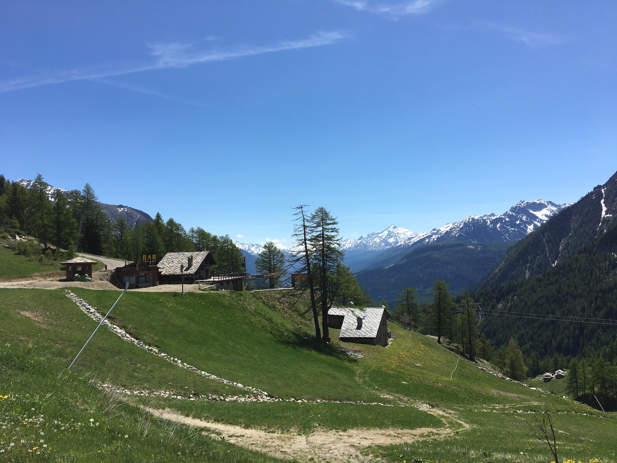
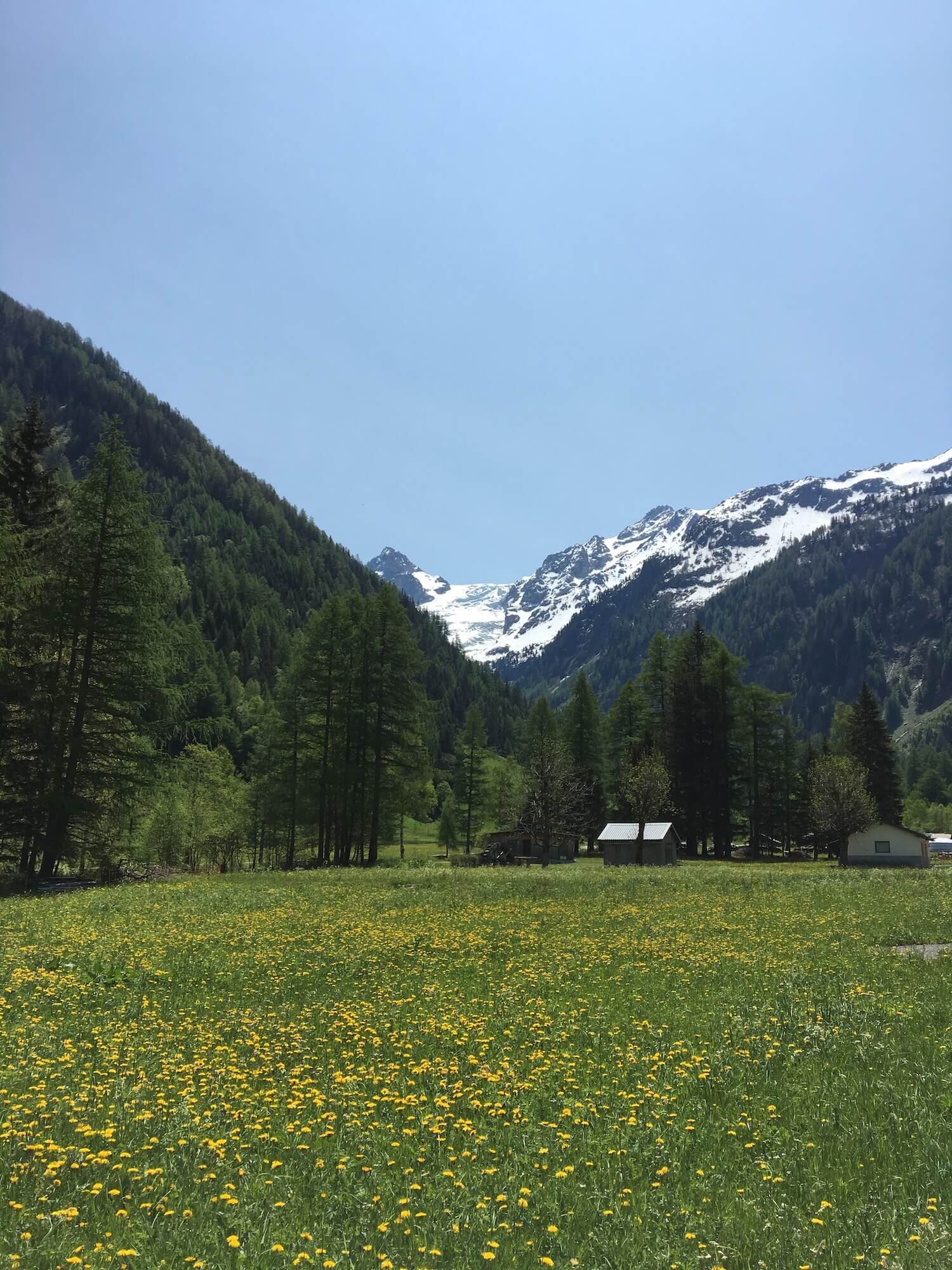
Le Champel Trail
Between Les Houches and Les Contamines-Montjoie
Trail Description:
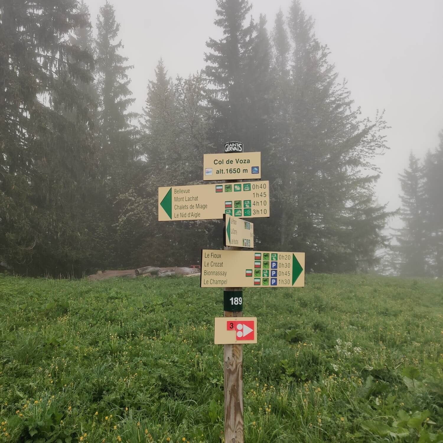
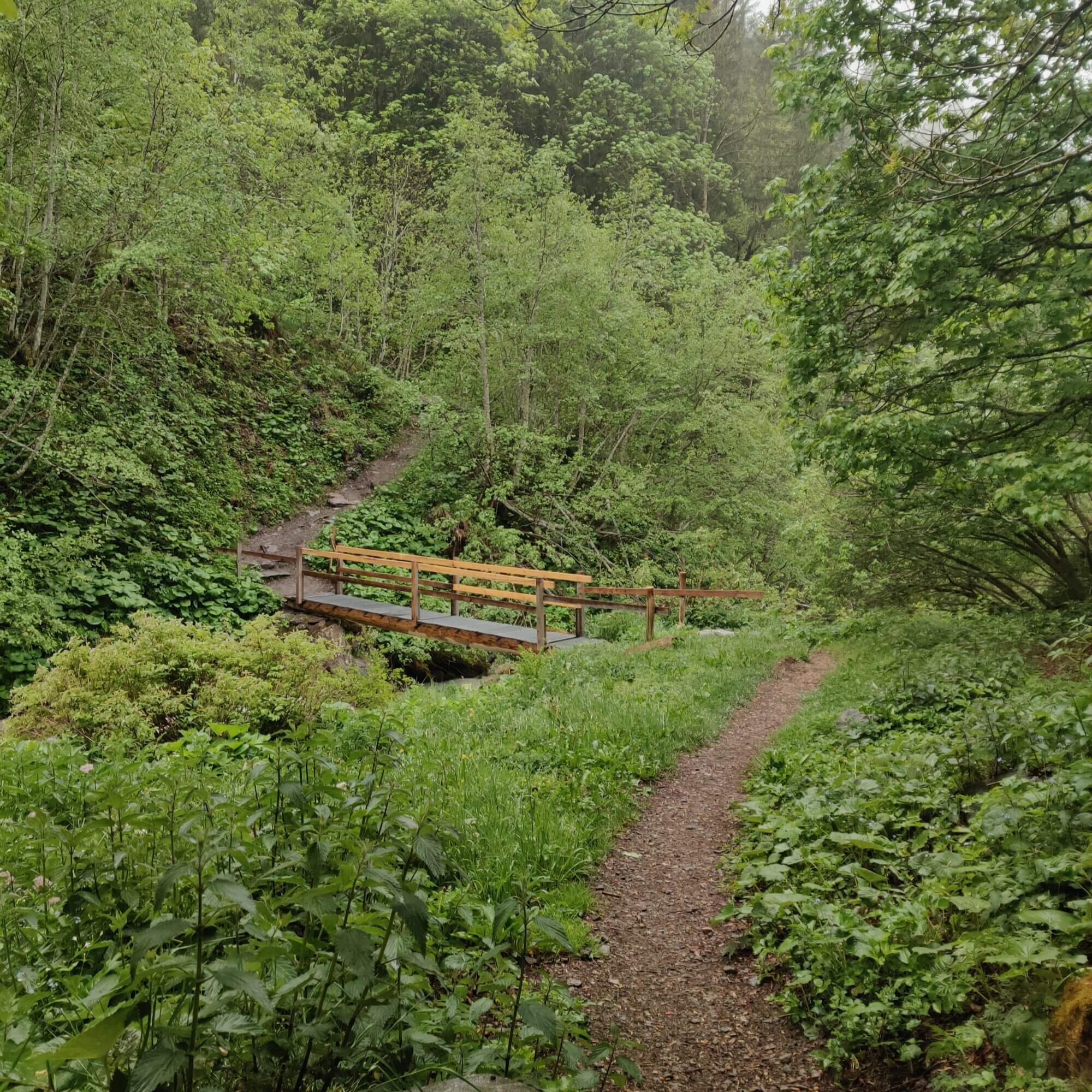
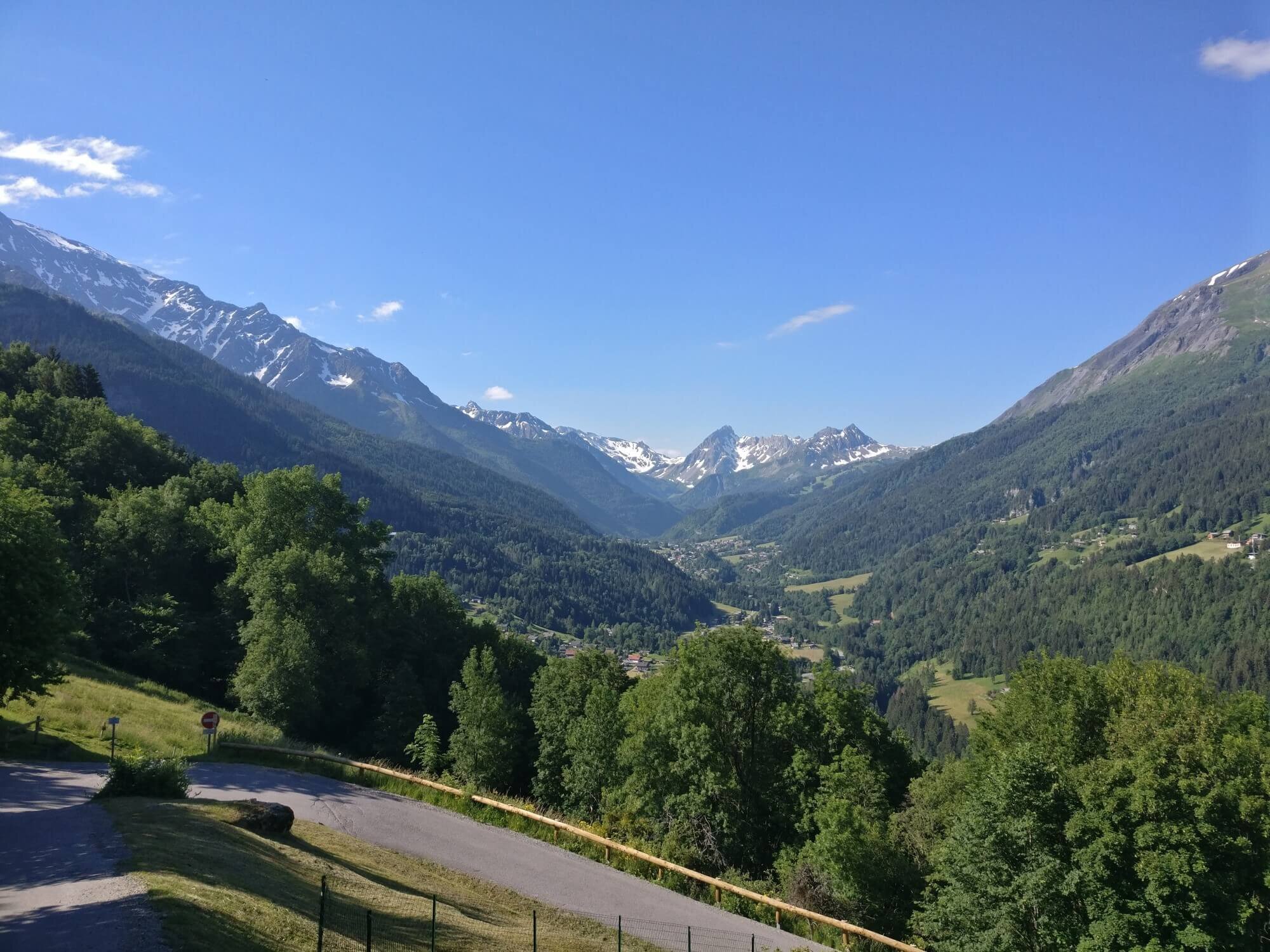
Departing from the town of Les Houches the route ascends through the ski resort on wide, well maintained trail. From Col de Voza, the trail leads into the trees and down past Refuge du Fioux and Auberge de Bionnassay. It then passes through several hamlets and farmland as it follows the valley to the town of Les Contamines-Montjoie.
Difficulty: Hiking Trail.
Are there alternate routes? Yes - the Col de Tricot Trail that diverts from the main trail at Col de Voza and rejoins at Les Contamines-Montjoie
Transport Shortcuts: Cable Car between Les Houches and the Bellevue Plateau near Col de Voza.

Image taken from our Itinerary Builder that allows hikers to plan their itinerary using main and alternate routes.
Les Chapieux Trail
Between Les Contamines-Montjoie and Col de la Seigne
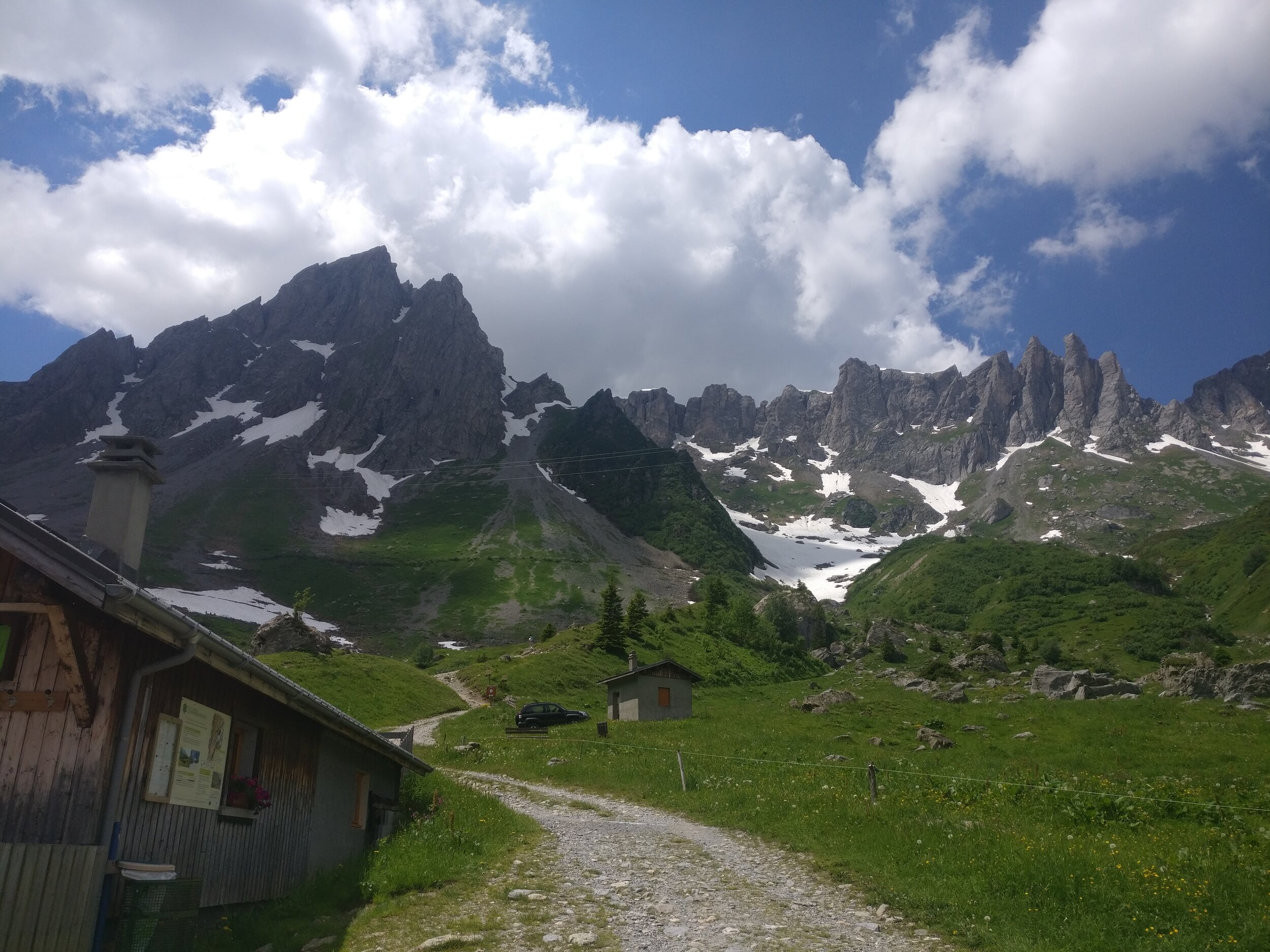
Trail Description:
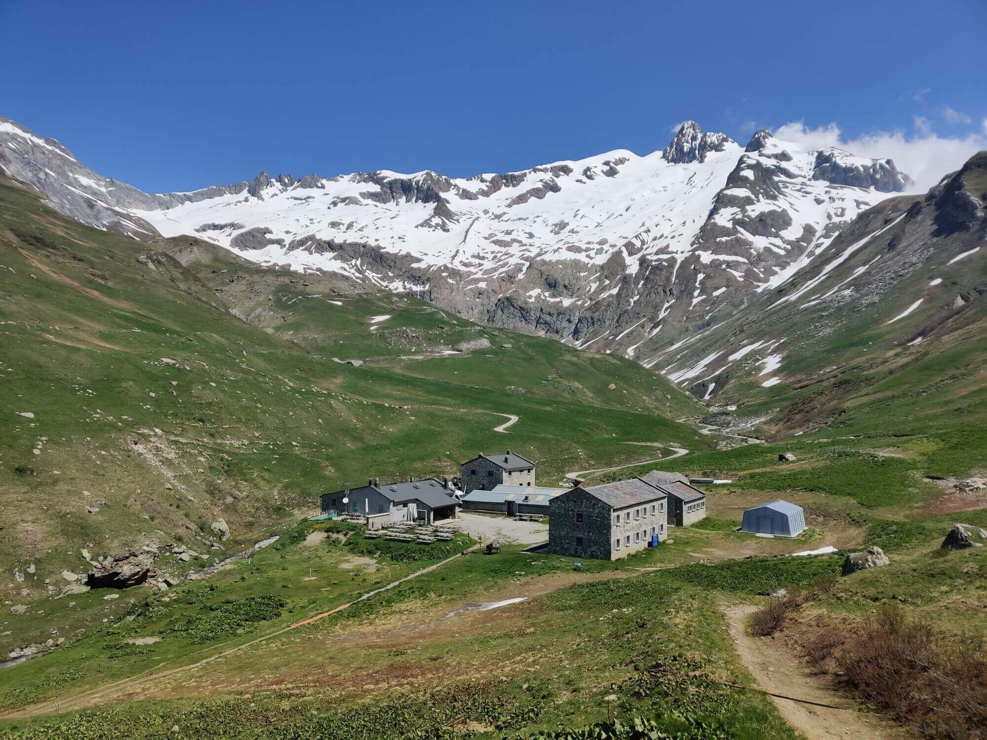
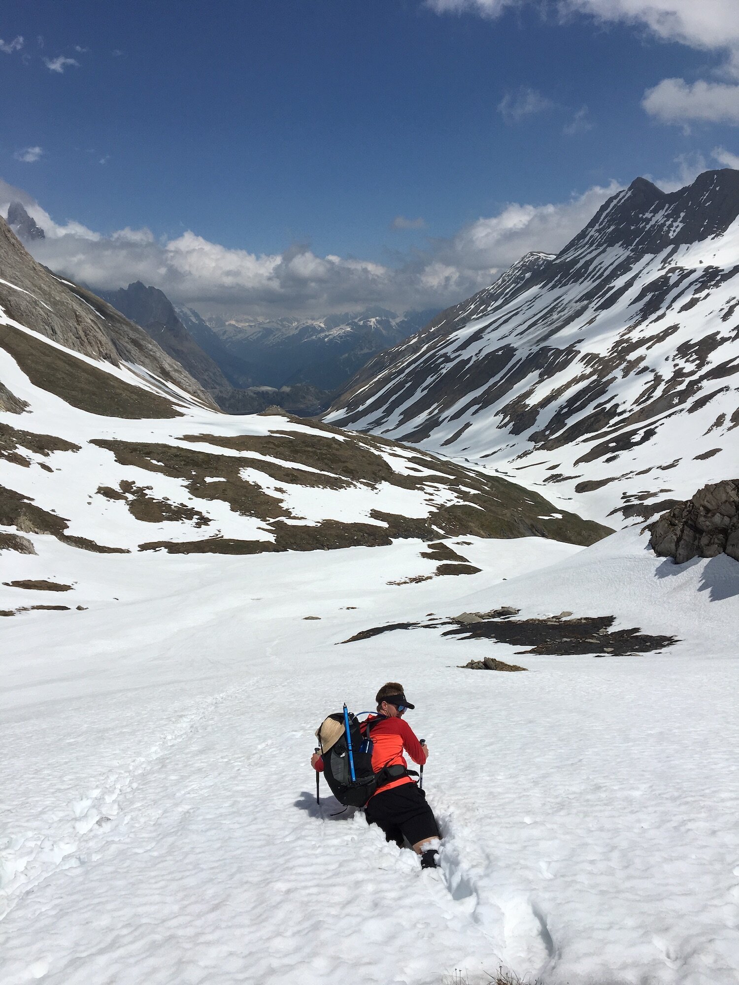
Before leaving Les Contamines-Montjoie make sure to stock up on supplies as the next village isn’t until Courmayeur, 49km / 30mi along the route. The flat, dirt trail follows the Bon Nant river out of town and up the valley past some lakes (with camping) and a gorge with flowing water. Hikers then follow a gradually ascending road that passes Refuge de Nant Borrant and Refuge de la Balme. From here, the road ends and hikers once again follow a mountain trail up the steep climb to Col du Bonhomme, and then the last steep ascent to Col de la Croix. Enjoy the views here before descending through alpine meadows and farmland to Les Chapieux which is the most southerly point on the TMB. From here the trail gradually climbs up through Vallée des Glaciers to La Ville des Glaciers where the alternative route from Col des Fours rejoins. Enjoy a break here as the next section of trail is tough. The trail climbs via sweeping switchbacks with a final push to Col de la Seigne, the border between France and Italy.
Difficulty: Hiking and Mountain Trail. Snow typically on trail around Col du Bonhomme and Col de la Croix until early July.
Are there alternate routes? Yes - the Col des Fours Trail diverts from the main trail at Col de la Croix and rejoins at La Ville des Glaciers.
Transport Shortcuts: Bus between Les Chapieux and Refuge des Mottets.
Image taken from our Itinerary Builder that allows hikers to plan their itinerary using main and alternate routes.
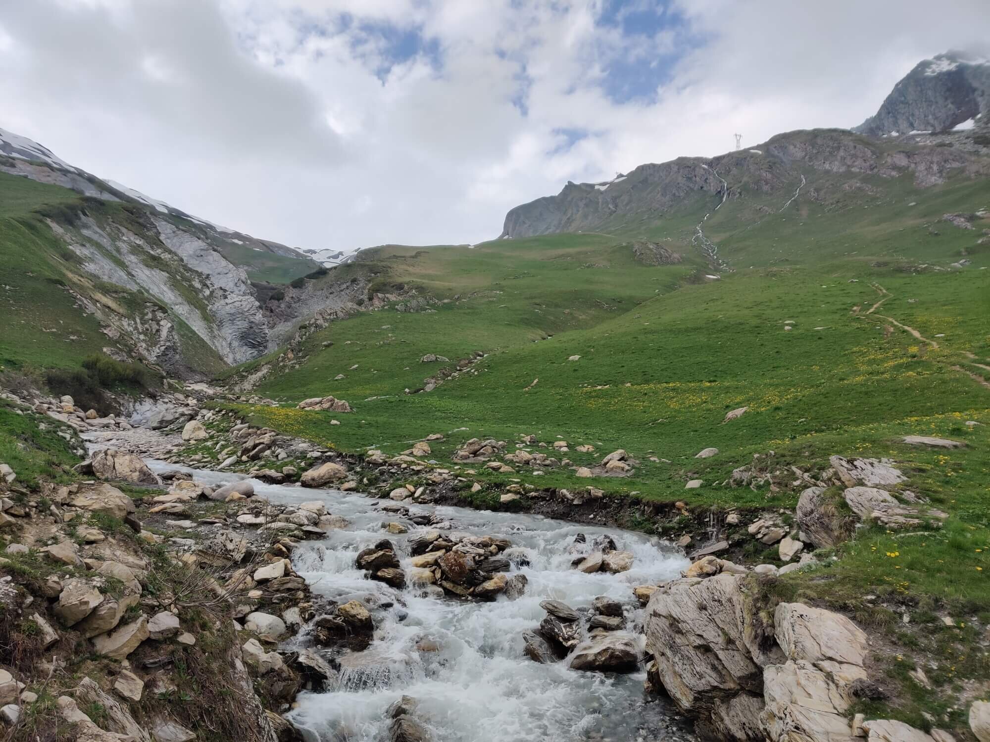
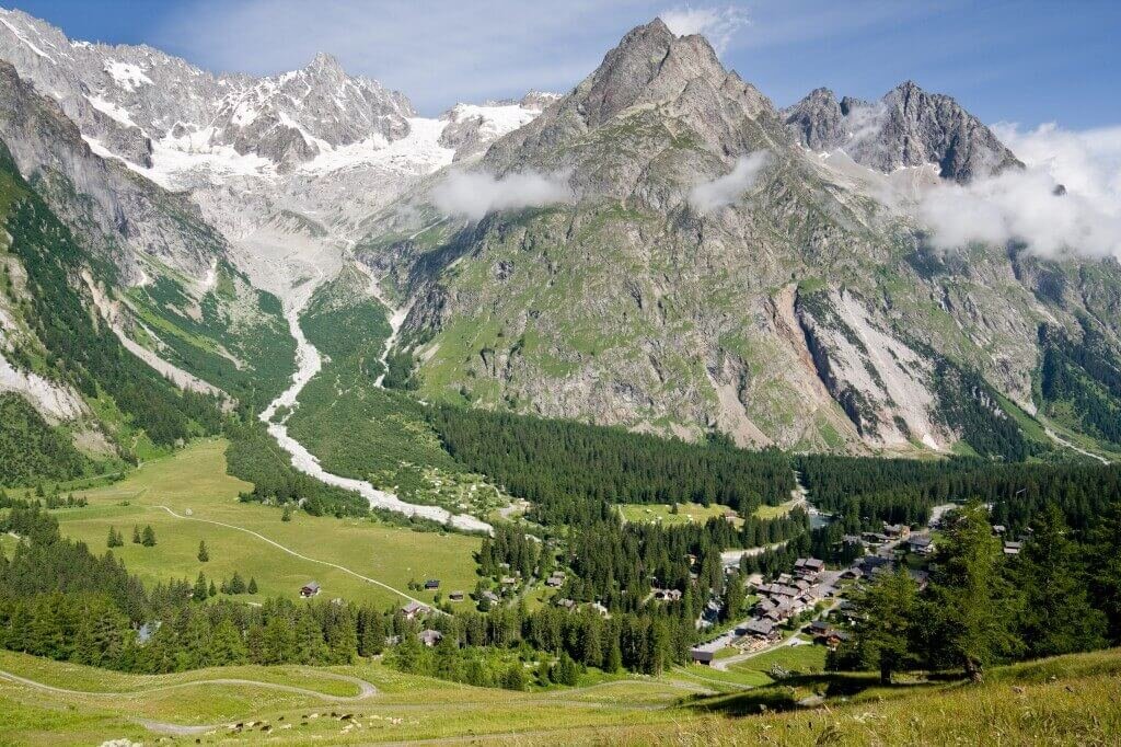
Val Veny Trail
Between Col de la Seigne and Courmayeur
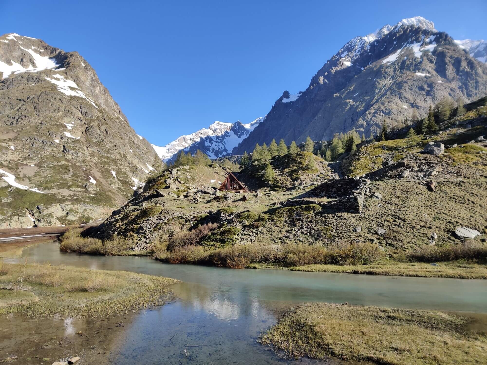
Trail Description:
Leaving Col de la Seigne (the border between France and Italy) hikers are rewarded with unparalleled views of Mont Blanc massif. Be prepared for strong winds that often frequent the area. Descending from the Col, the trail passes the Casermetta al Col de La Seigne a cross-border environmental education center of the Espace Mont-Blanc, and continues on to pass the first Italian hut, Refuge Elisabetta. The glaciers located on the South side of Mont Blanc are now in view, starting with Glacier de la Lex Blanche. The trail heads down into the valley passing Cabane Combal and Lac du Miage. From here, take the trail junction that climbs back up onto the ridge line with spectacular views. Hikers then enter the Courmayeur ski resort and ascend steeply through the forrest to enter the town of Courmayeur.
Difficulty: Mountain Trail.
Transport Shortcuts:
Bus between Cabane Combal Junction and Courmayeur
Chairlifts between Rifugio Maison Vieille and Dolonne
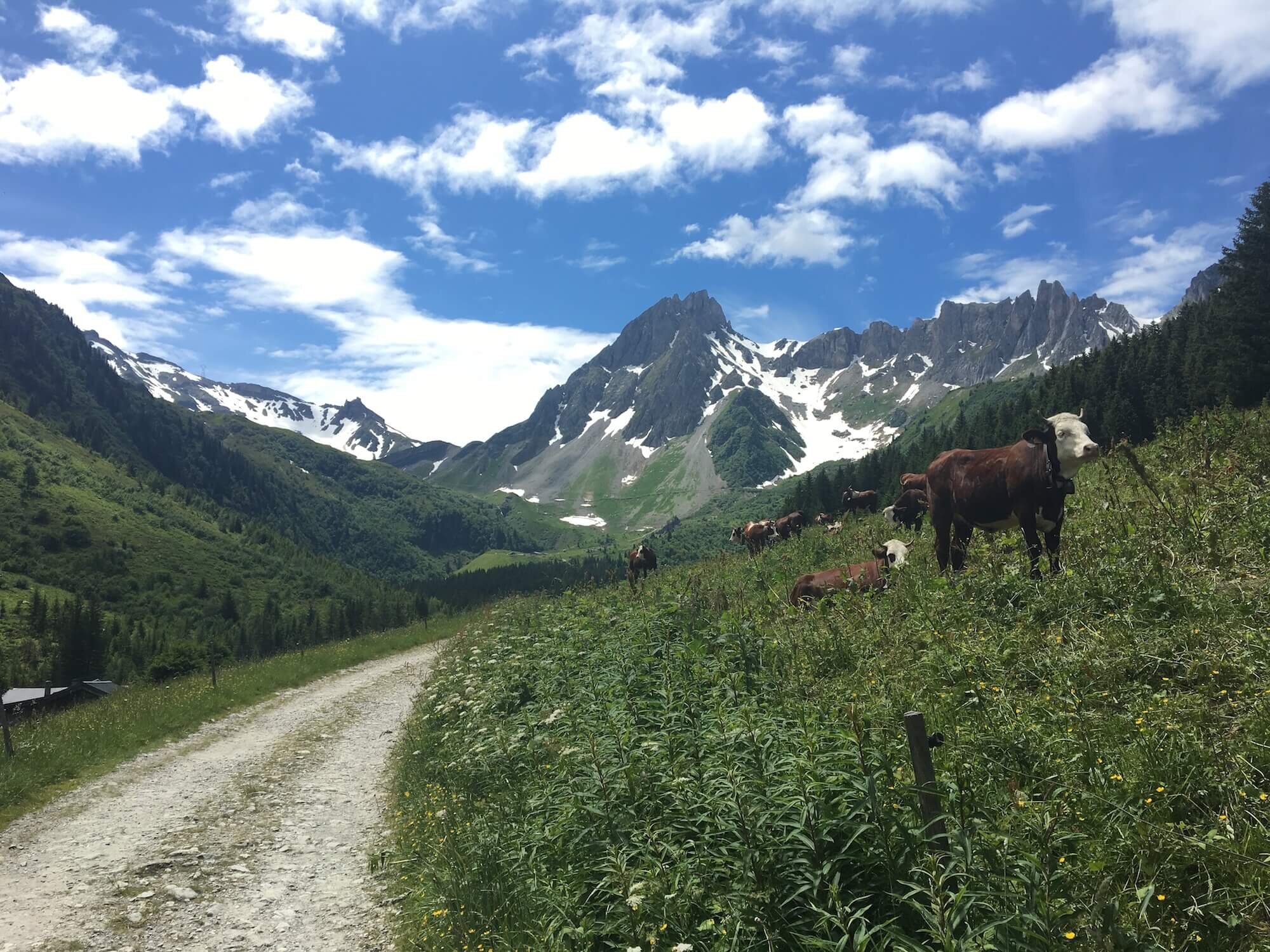
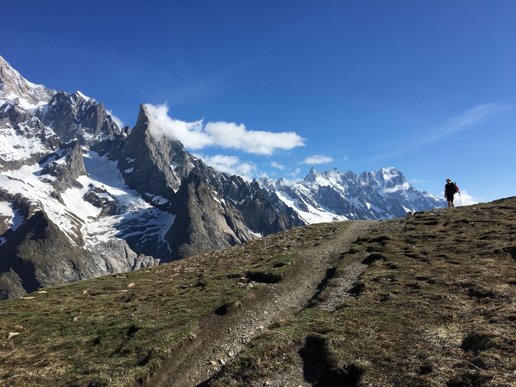
Val Ferret (Italy) Trail
Between Courmayeur and Grand Col Ferret
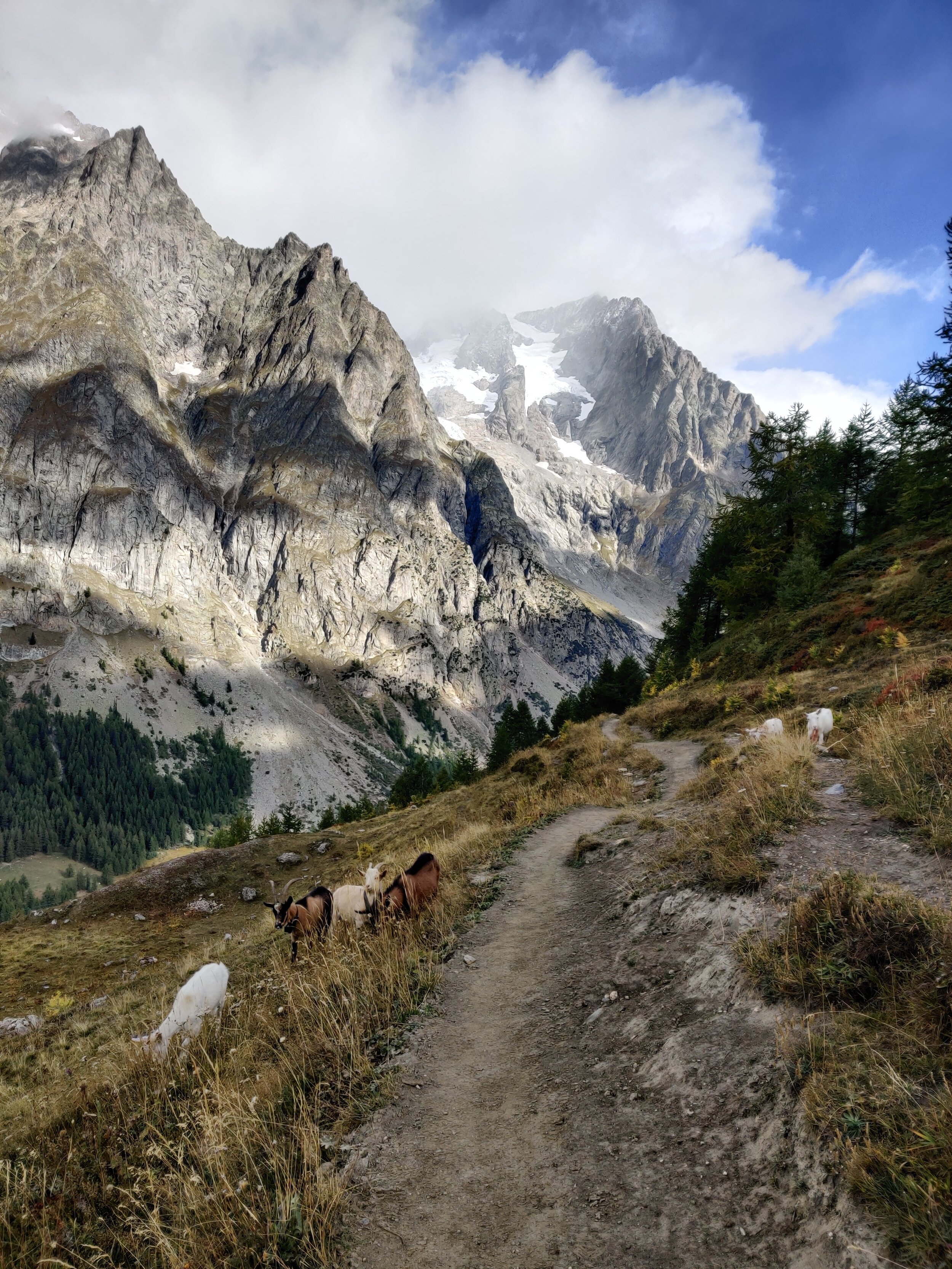
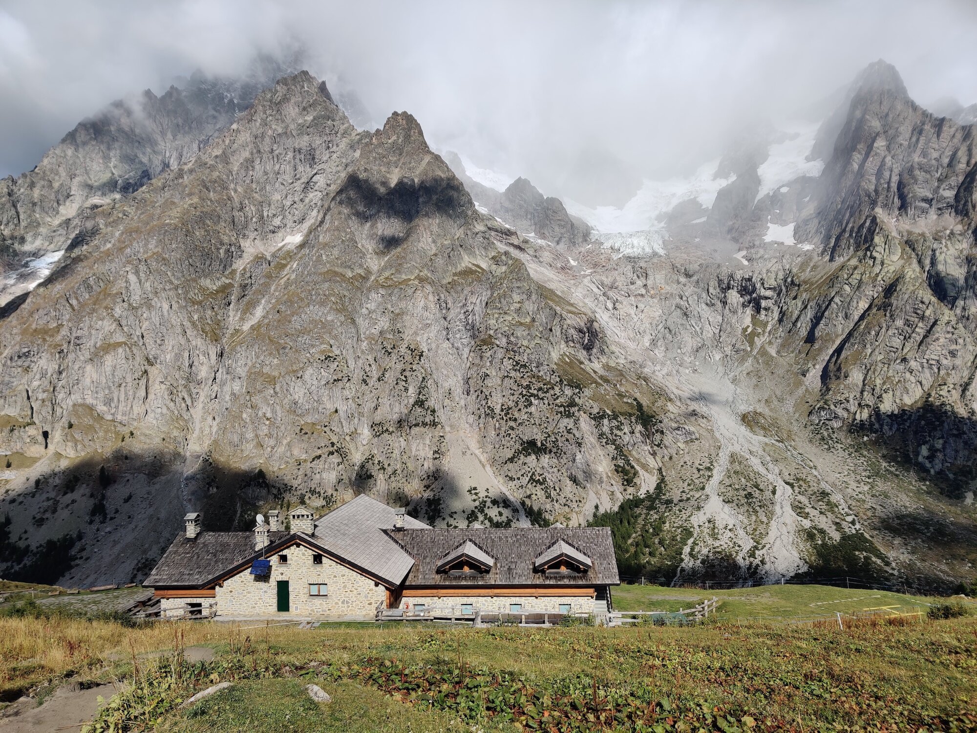
Trail Description:
Leaving Courmayeur, follow the road up towards Val Sapin. The trail then diverts off the road and into the trees, where hikers will switch back steadily until they reach Rifugio Bertone. From the Mont de la Saxe junction, follow the wide, undulating trail along Val Ferret which offers wonderful views of the Mont Blanc massif as it leads to Rifugio Bonatti. The trail then descends back down to the valley floor, passing Chalet Val Ferret and continues up the valley to Rifugio Elena, with the backdrop of Glacier de Pre de Bard dominating the view. From here the trail steeply climbs up to Grand Col Ferret, the border between Italy and Switzerland.
Difficulty: Hiking Trail.
Is there an alternate route? Yes, the Col Sapin Trail that diverts from the main trail at Monte de la Saxe and rejoins at Rifugio Bonatti.
Transport Shortcuts:
Bus between Courmayeur and Rifugio Bonatti.
Image taken from our Itinerary Builder that allows hikers to plan their itinerary using main and alternate routes.
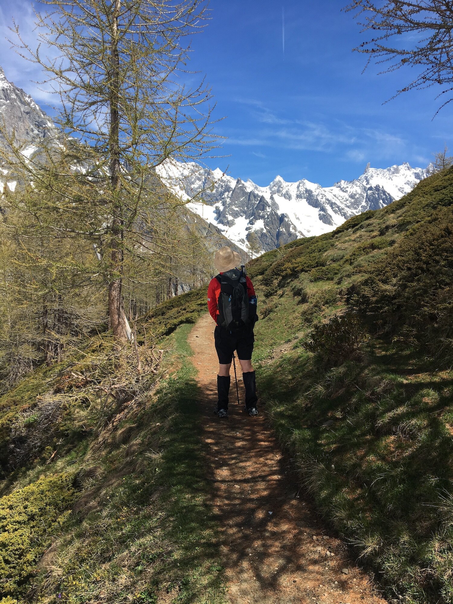
Val Ferret (Switzerland) Trail
Between Grand Col Ferret and Champex-Lac
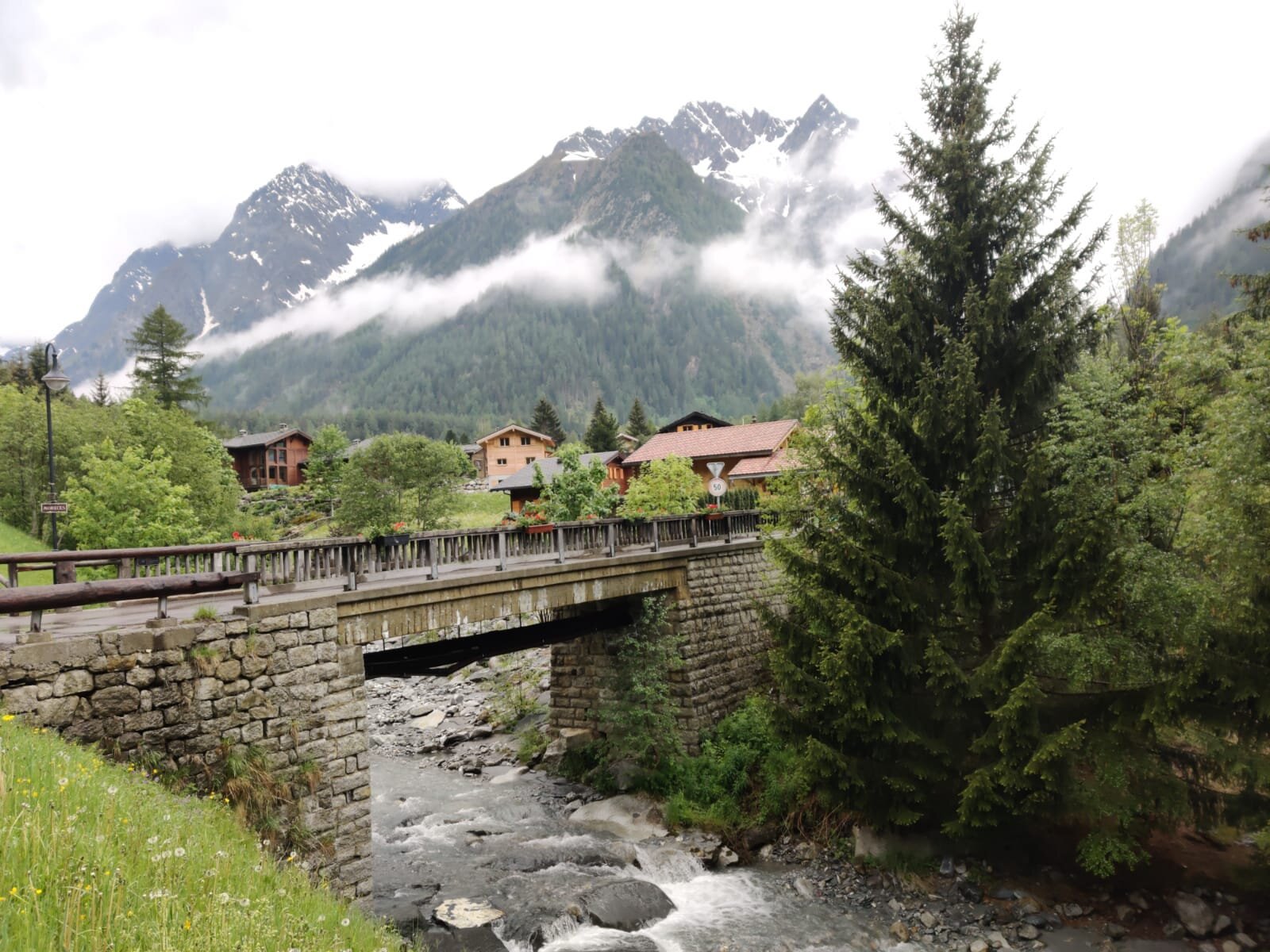
Trail Description:
From Grand Col Ferret, swap your Ciao with your Guten Tag as you have now entered Switzerland. Mont Blanc is now behind you and you enter the swiss alpine meadows with the sound of cow bells. The trail descends through alpine hamlets of La Peule and La Lechere, both offering accommodation. If staying on a swiss farm is on your bucketlist, La Peule provides hikers with a unique experience to stay on a swiss farm with 65 cows, making fresh milk and cheese to enjoy for dinner and breakfast. The trail continues through the meadows until reaching La Fouly, a small town with a supermarket, ATM and a few restaurants. Following the “Dranse de Ferret” river out of town, the trail is relatively flat and well maintained and passing through Praz-de-Fort and Issert before entering the forrest on the West side of the valley. The trail climbs up through the trees steeply until reaching the alpine lake; Champex-Lac.
Difficulty: Mostly hiking trail with a small section of mountain trail from Grand Col Ferret down to La Peule.
Transport Shortcuts:
Buses between La Fouly and Champex Lac
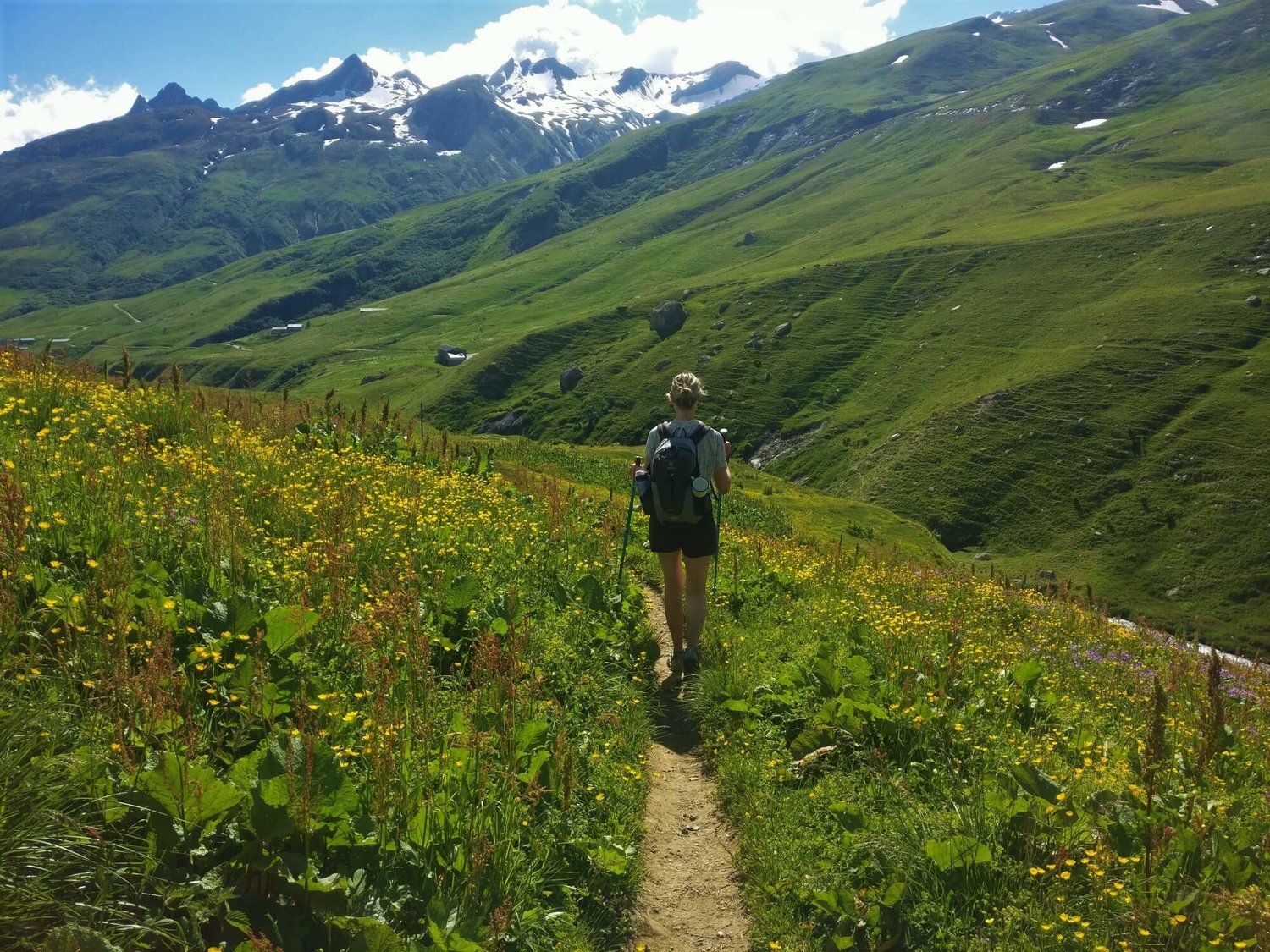
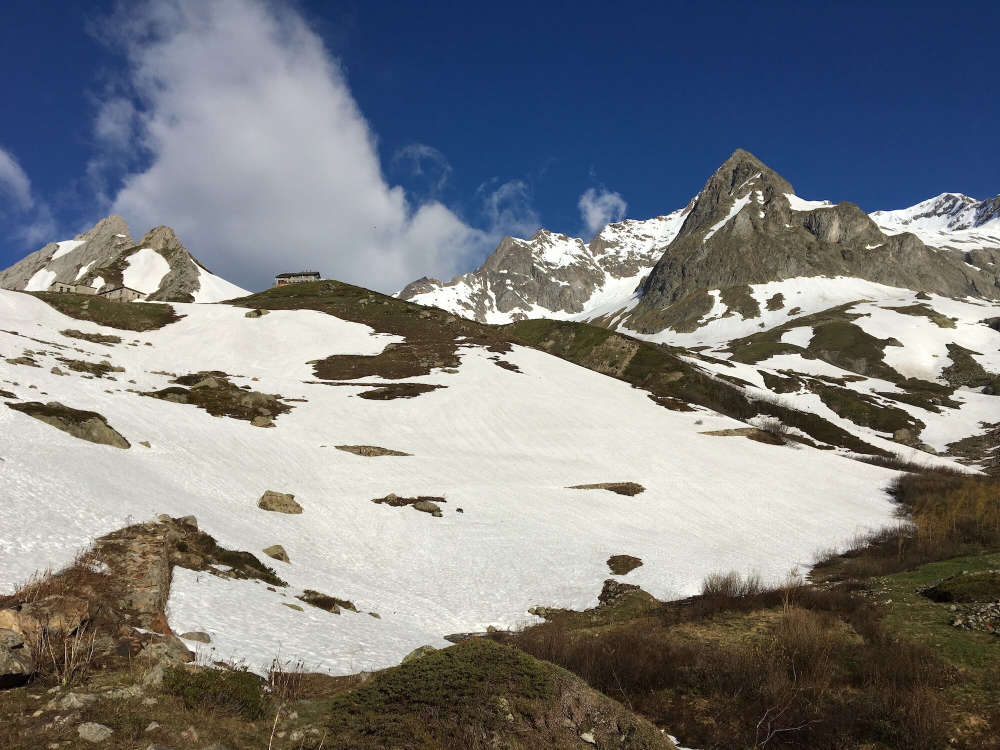
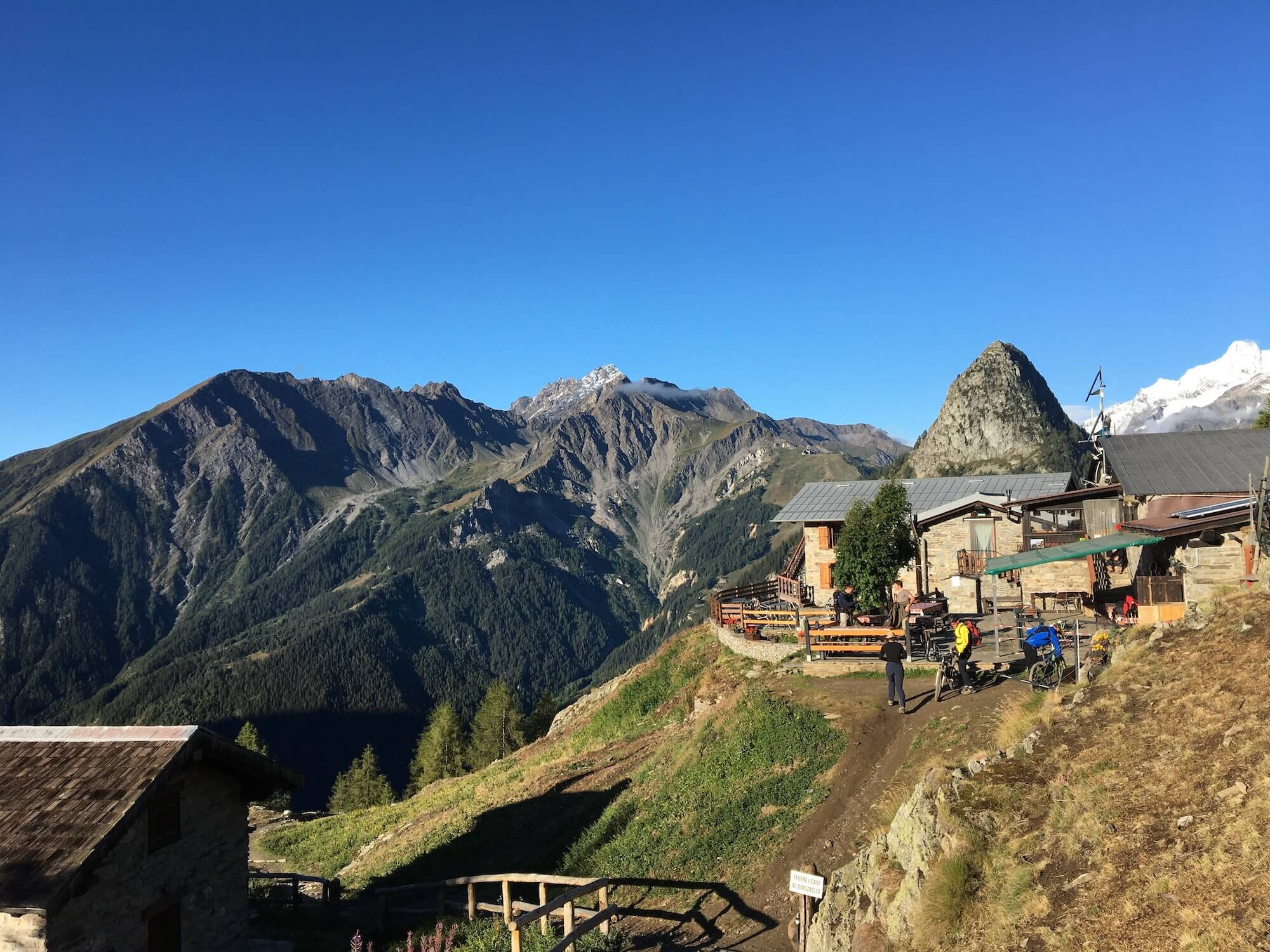
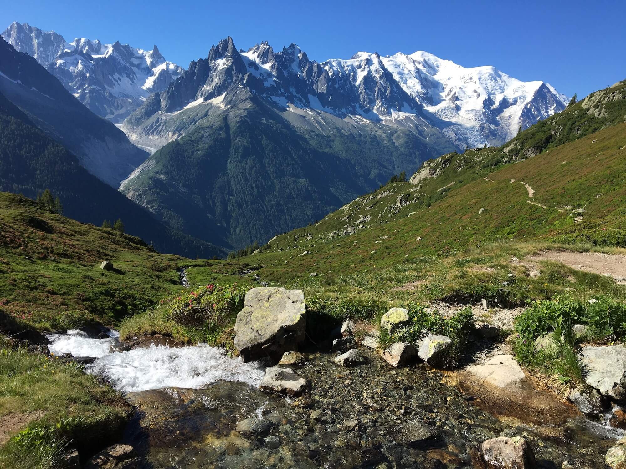
Alp Bovine Trail
Between Champex-Lac and Col de Balme
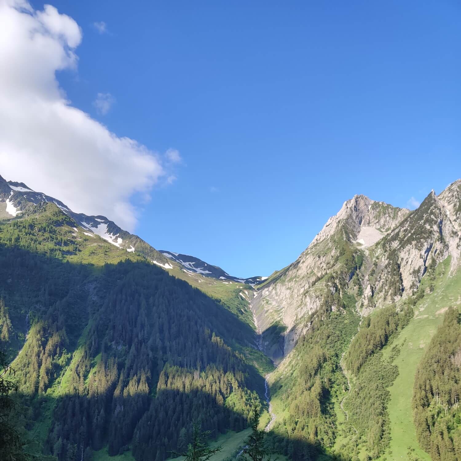
Trail Description:
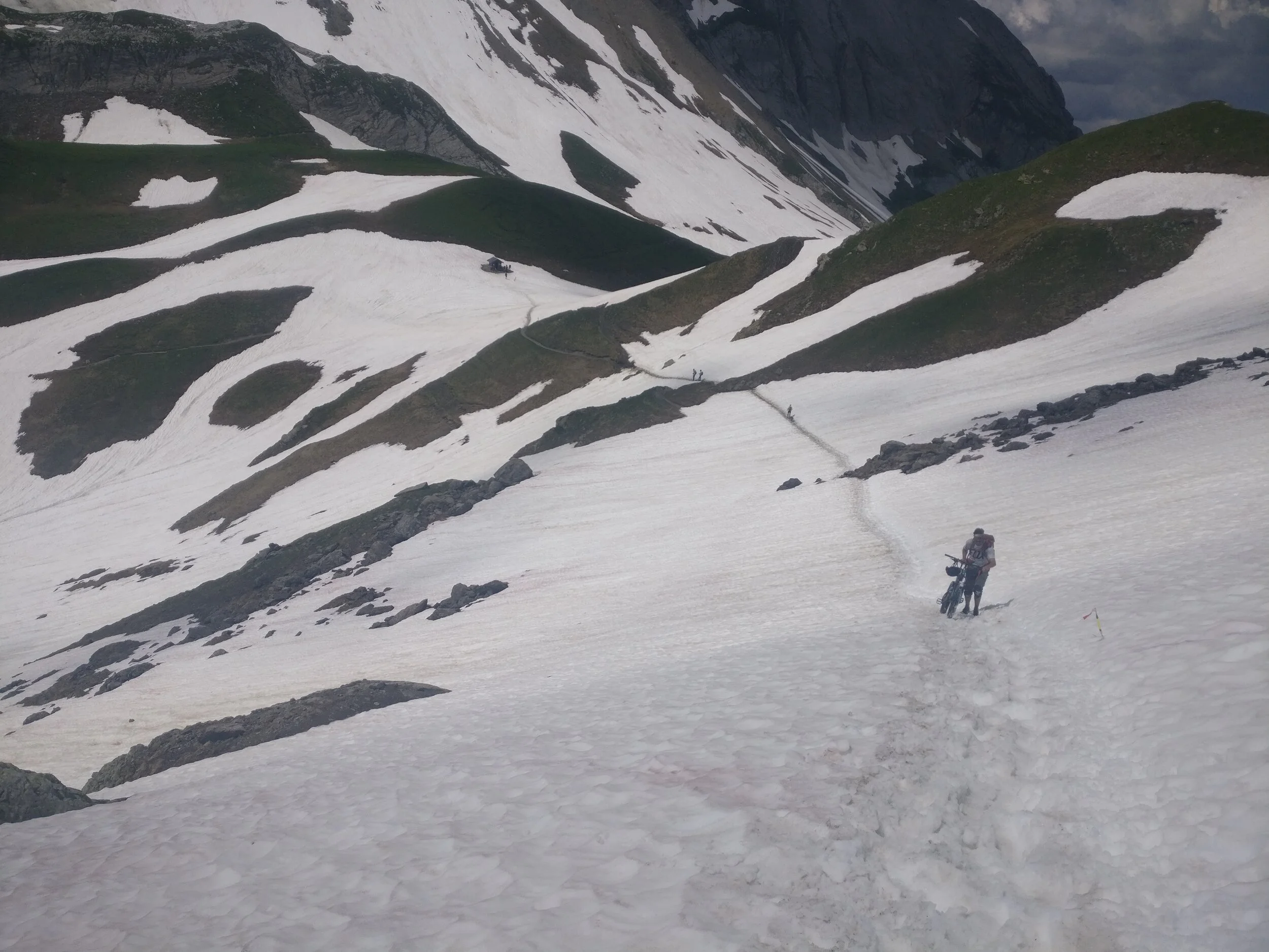
From Champex Lac, follow the road out of town to the chairlift before entering the trees and continuing past Champex Den Haut to Plan de l Au where the climb up to Alp Bovine begins. Cross a couple of streams on your way across the valley and grind up to the daytime restaurant which is located in a working farm for refreshments, a piece of fruit pie and views of Martigny below. Continue along the trail and through the gate, which marks the high point on this section of trail and then descend on shaded trail to Col de la Forclaz which marks the beginning of the Trient valley. The trail descends further down to the valley floor at Le Peuty before ascending through the forest using switchbacks to gain elevation. Once above the treeline, the path takes a more direct route to Col de Balme which marks the border between Switzerland and France, as well as point the alternative route via Les Grands rejoins the main trail.
Difficulty: Mostly mountain trail with some short hiking trail sections.
Are there alternate routes? Yes.
Fenetre D’Arpette Trail: Diverts at Champex-Lac and rejoins at Le Peuty, or continues on via;
Les Grands Trail: Diverts at Col de la Forclaz (or Le Peuty) and rejoins at Col de Balme.
Transport Shortcuts: Bus between Col de la Forclaz and Trient.
Considerations: This route is an easier and safer route to the alternate route via Fenetre d’Arpette, which often has snow during early season and a steep descent with big boulder crossings on the East side of the pass.
Image taken from our Itinerary Builder that allows hikers to plan their itinerary using main and alternate routes.
Image taken from our Itinerary Builder that allows hikers to plan their itinerary using main and alternate routes.
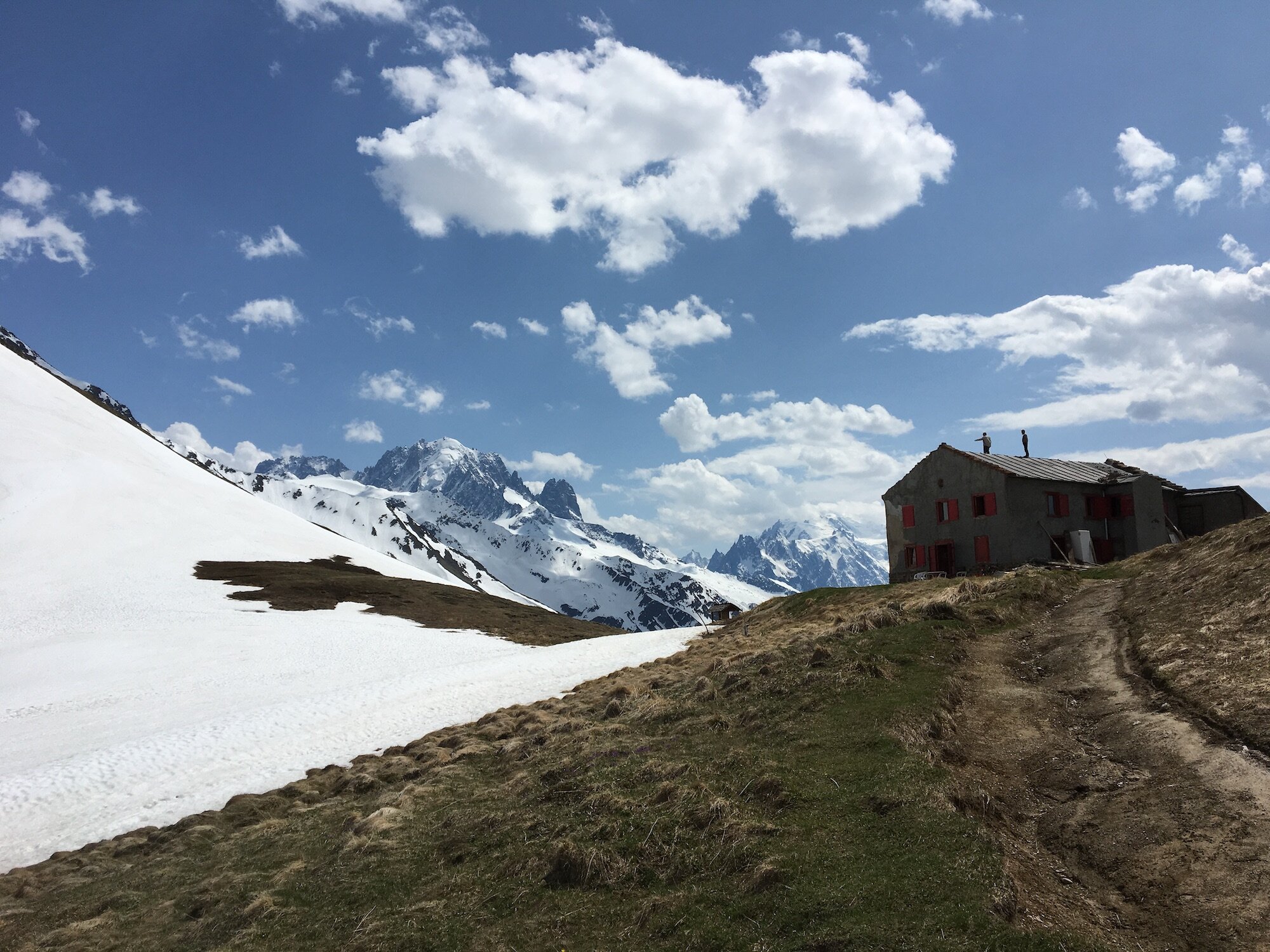
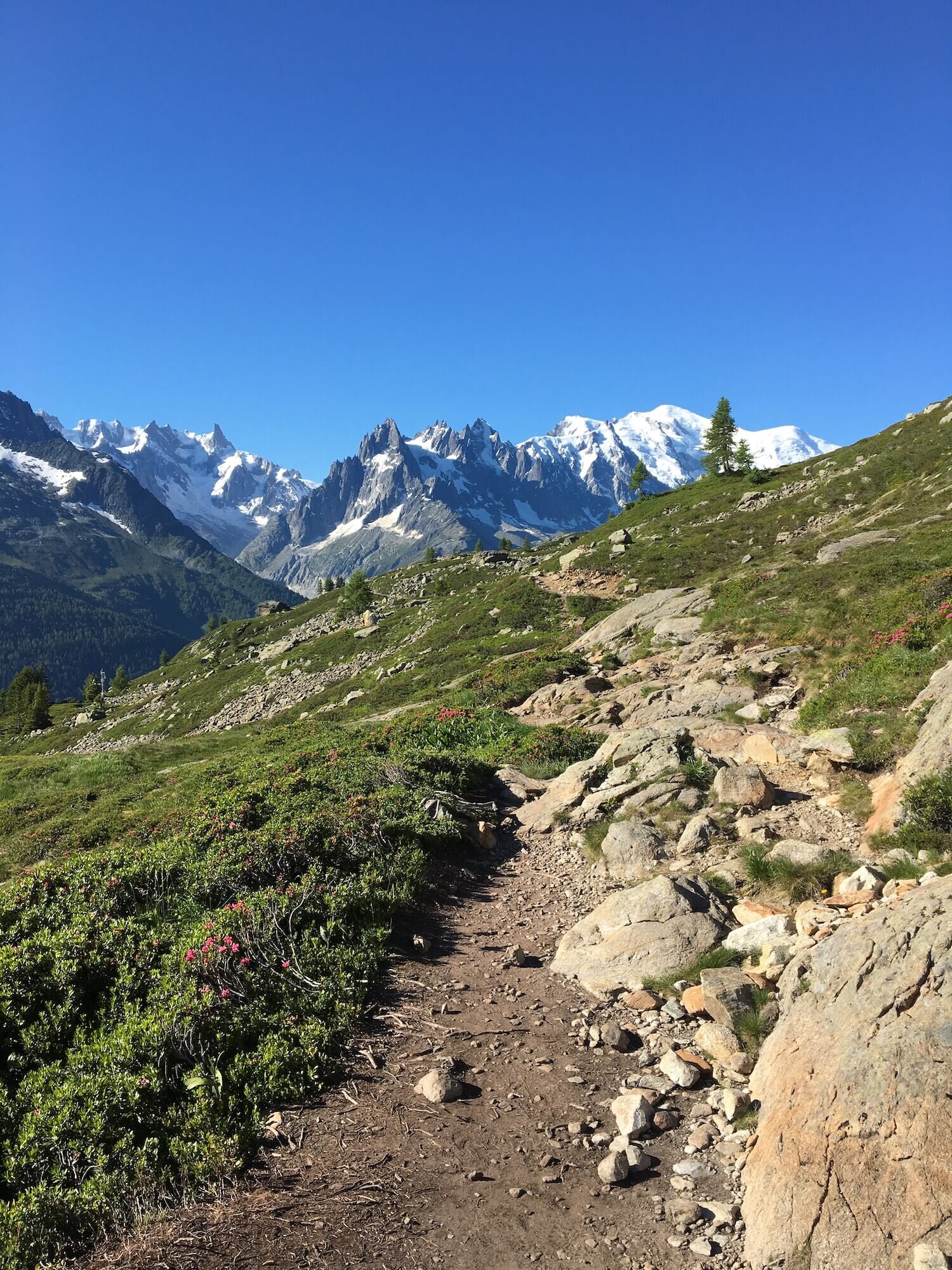
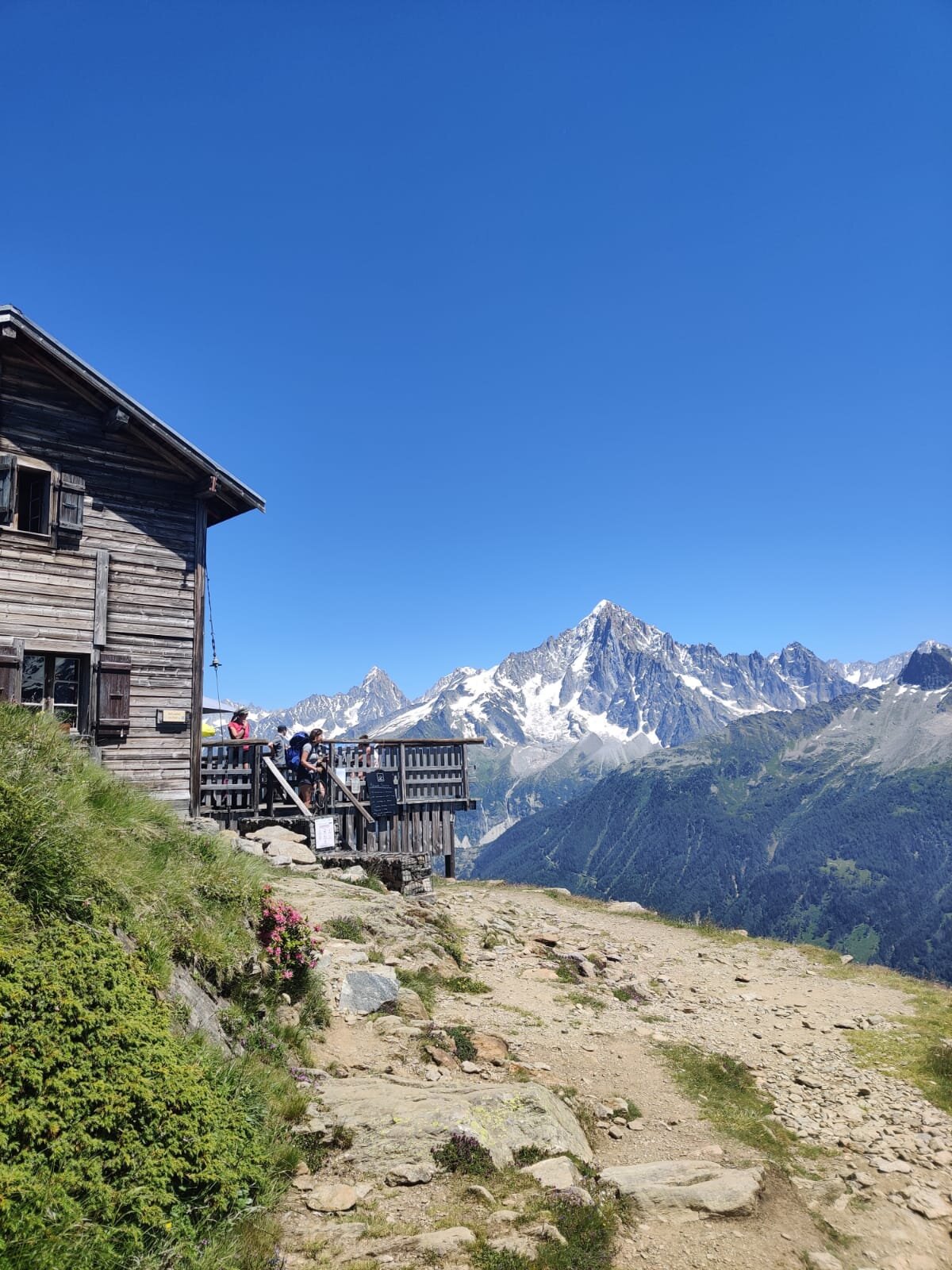
Posettes Trail
Between Col de Balme and Col des Montets
Trail Description: This route leaves Col de Balme and enters the top section of the Le Tour ski area along wide, well maintained trail. It then departs from the ski area and climbs to Aiguillette des Posettes, a ridge offering spectacular 360 views of the Chamonix Valley, Le Tour glacier, Emosson dam and beyond. The route then descends steadily through the forest on varied uneven trail underfoot, including rock and tree roots. It than meets the main road leaving the Chamonix Valley to cross into Switzerland, at Col des Montets.
Difficulty: Mountain Trail
Is there an alternate route? Yes. Glacier du Tour Trail diverts at Col de Balme and rejoins the main trail at Tre-le-Champ.
Transport Shortcut: No.
Image taken from our Itinerary Builder that allows hikers to plan their itinerary using main and alternate routes.
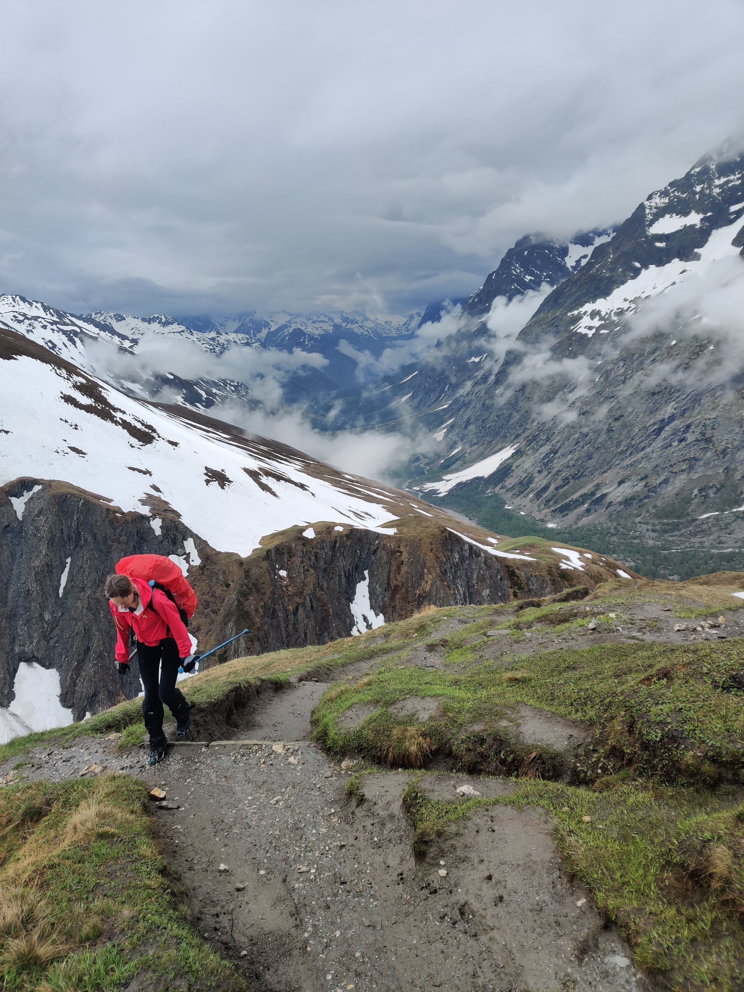
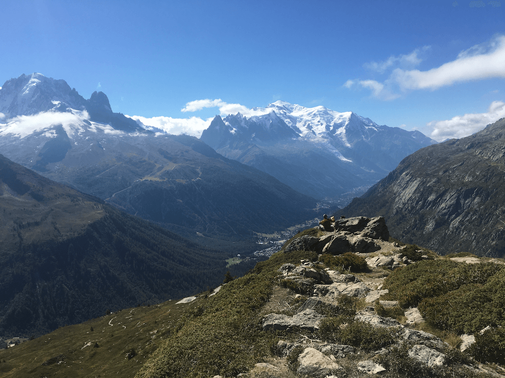
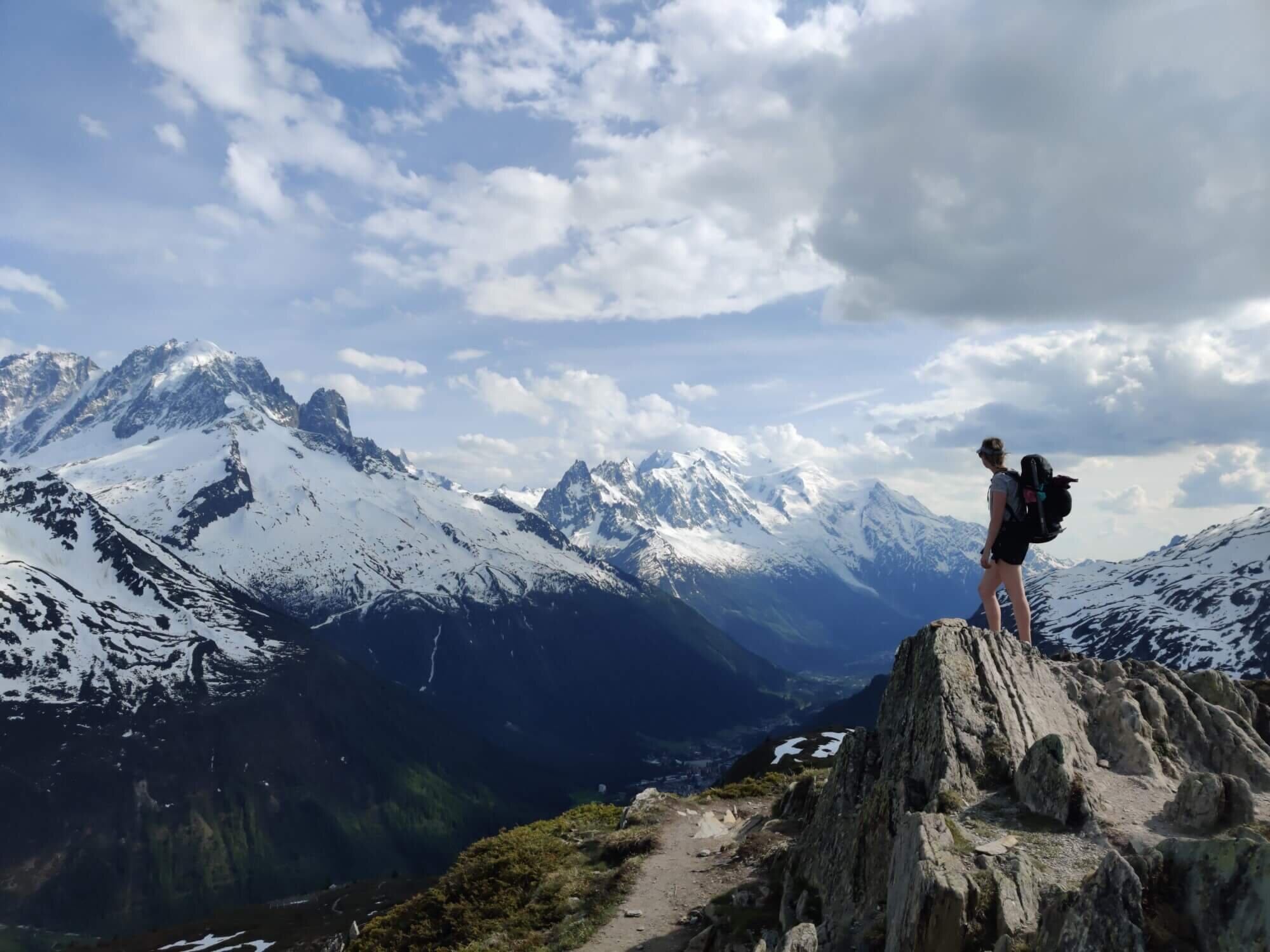
Grand Balcon Sud Trail
Between Col des Montets and Les Houches
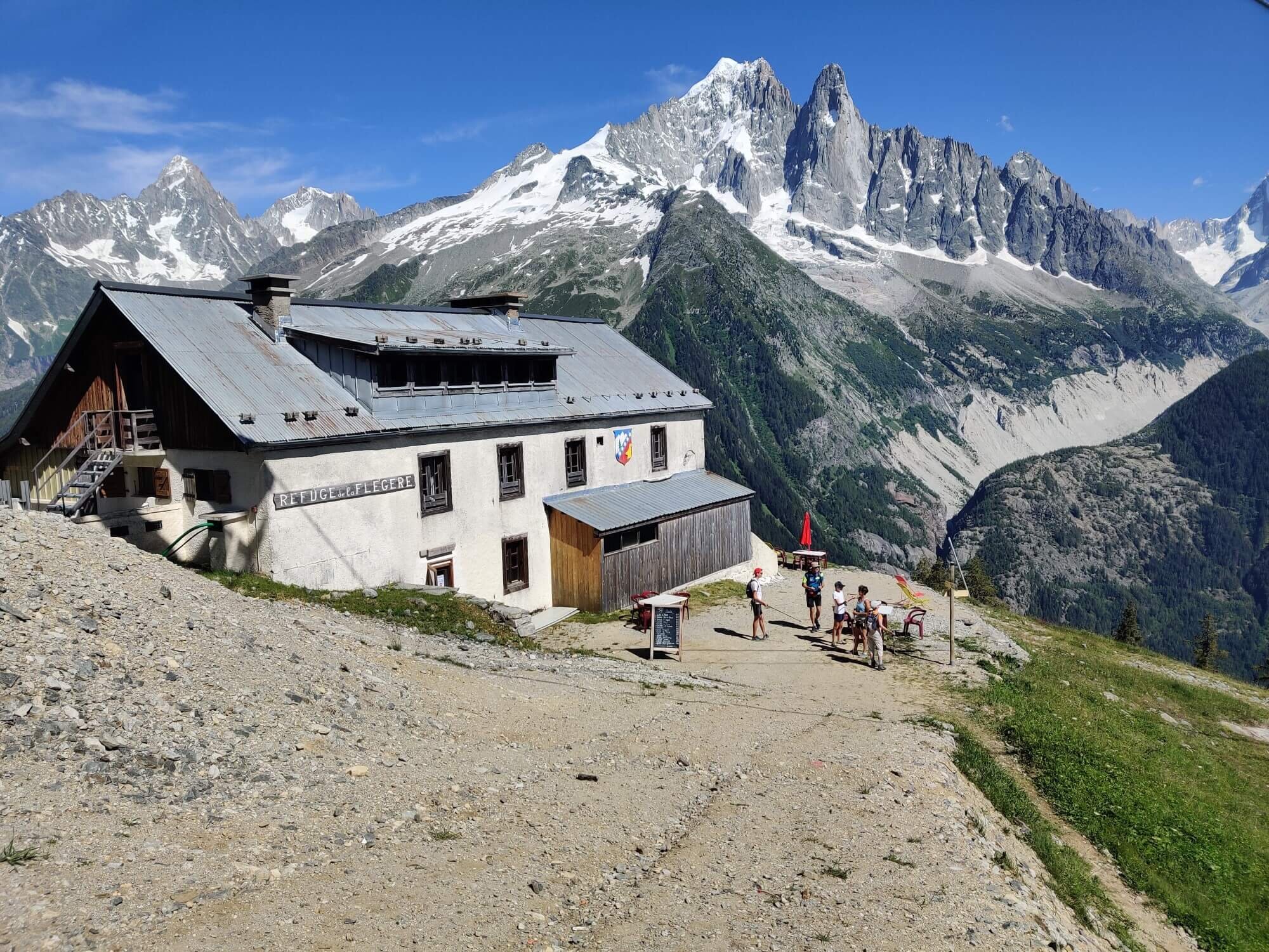
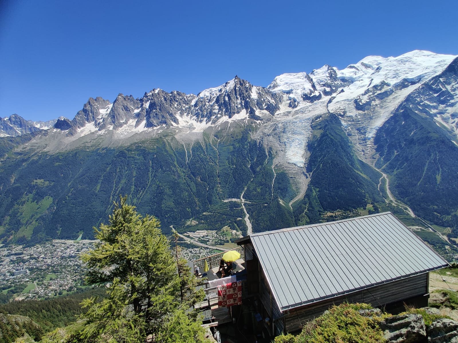
Trail Description:
This is a popular section of the Tour du Mont Blanc which is also enjoyed as an alternative route in reverse by some Haute Route hikers leaving the Chamonix Valley.
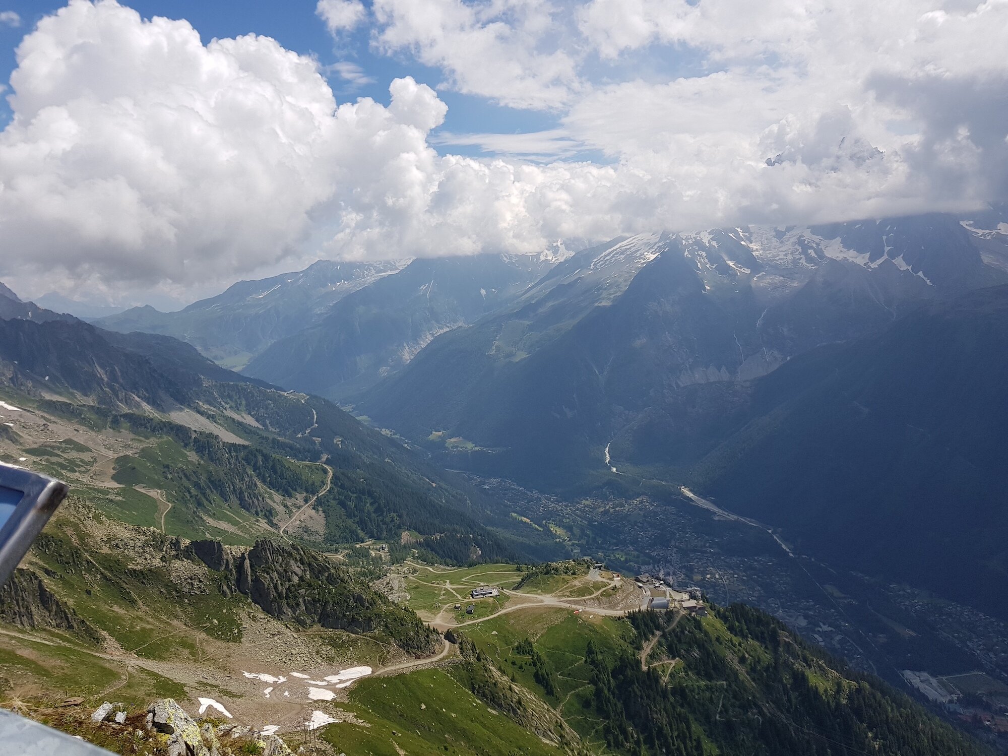
Starting at Col des Montets, the route enters the forest and is rocky and uneven with tree roots underfoot. After climbing up the metal ladders near Aiguillette d Argentiere, you will reach a junction where the Tour du Mont Blanc joins with the Grand Balcon Sud trail. The main route follows the Grand Balcon Sud gradually down to La Flegere along an exposed path offering endless eyeline views of the Mont Blanc massif. The balcony trail continues to snake along the valley with only a slight ascent until Plan Praz. For those wanting to descend to the valley, there is a cable car station here. For those carrying on, there is a steep climb via switchbacks to get to Le Brevent, the equal highest point on the TMB. Between here and Refuge Bellachat, there is a spectacular balcony trail that gives you the clearest view of the top of Mont Blanc (assuming a clear day!). From here there is a steep, long descent on an uneven trail to reach Les Houches.
Difficulty: Hiking Trail.
Is there an alternate route? Yes, the Lac Blanc Trail diverts at Tete aux Vents junction and rejoins at Refuge la Flegere.
Transport Shortcuts: No.
Considerations:

Image taken from our Itinerary Builder that allows hikers to plan their itinerary using main and alternate routes.
If you made it this far, I hope you are inspired to plan your own Tour du Mont Blanc adventure! You won’t be disappointed.
- Brendan
Your Virtual Hiking Guide
READY TO START PLANNING YOUR OWN TOUR DU MONT BLANC ADVENTURE?

Everything you need to plan, book, prepare and navigate your adventure.
This package includes;

Access a trail expert to prepare an itinerary that meets your needs.
This package includes;
Personalised itinerary designed by our trail expert