
The Top 7 Alternate Trails of the Tour du Mont Blanc
For those that haven’t hiked in the Alps before, it is important to understand that the Alps offer a network of trails. There are always trail junctions that provide hikers the opportunity to choose a route based on the highlight, terrain or accommodation options available.
The standard “main” Tour du Mont Blanc is 166km (103mi), with 10 mountain passes and just under 10,000m (32,700ft) elevation gain. However, many hikers choose to take one or more alternate routes along their journey to include a specific highlight or stay at a particular accommodation option.
JOIN ONE OF OUR LIVE ONLINE EVENTS


Below we highlight 7 of the most popular alternate routes for the Tour du Mont Blanc, including:
For The Hiking Club customers, these alternate routes are available to select within the Itinerary Builder for the Tour du Mont Blanc. Time to get planning!
OUR SELF-GUIDED HIKING PACKAGES
The Top Alternate Routes for the Tour du Mont Blanc
Note that the descriptions and trail statistics are written for hiking in a counter-clockwise direction so you’ll have to switch the locations and elevation gain/loss amounts to read them for the clockwise direction. In our Itinerary Builder, you can create a plan for clockwise hiking which will have all the trail details, stats and time estimates in the correct order for this direction.
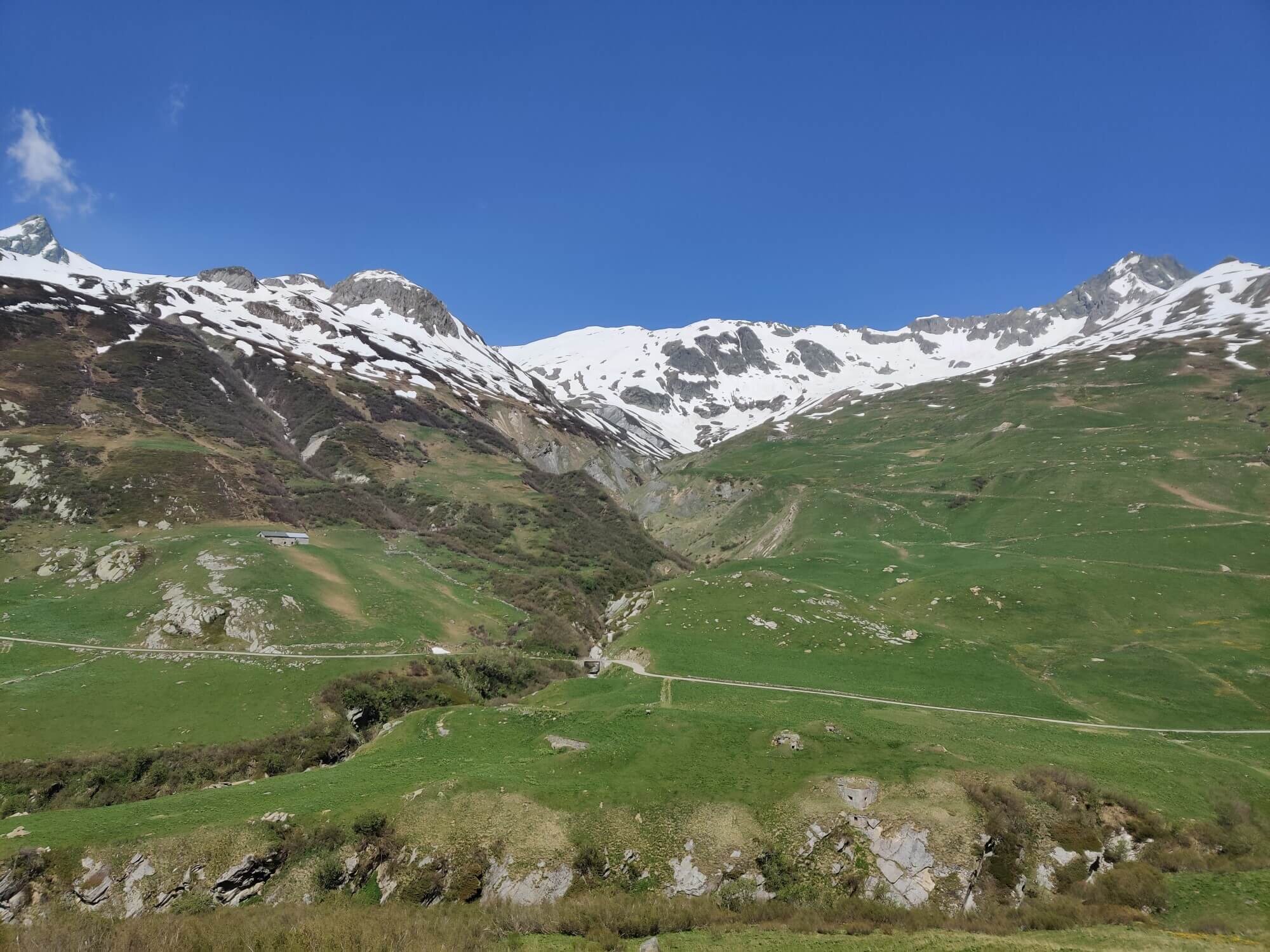
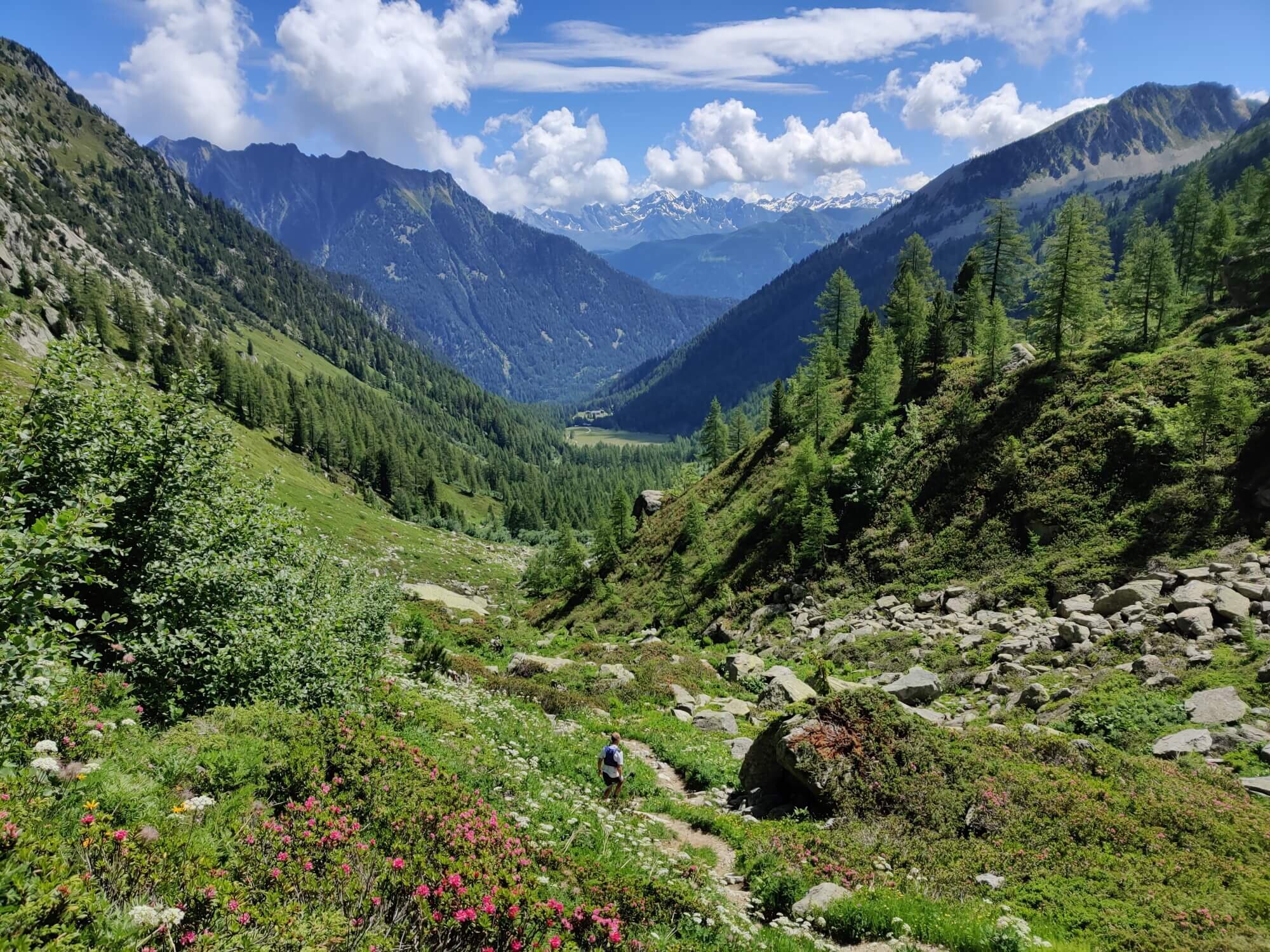
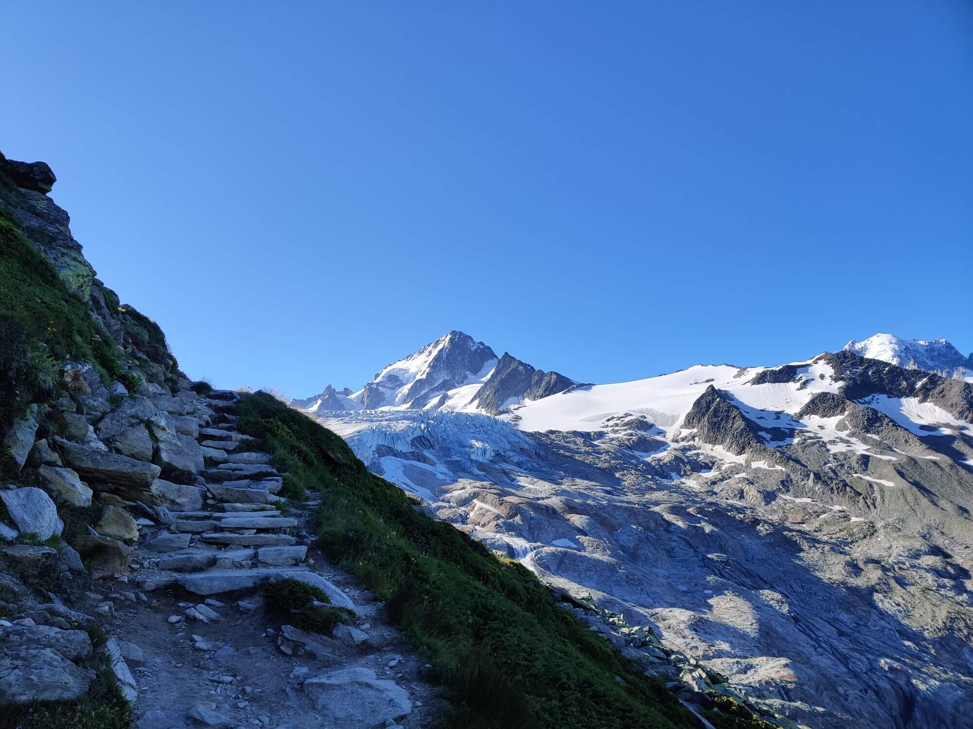
Col de Tricot Trail
Between Col de Voza and Les Contamines-Montjoie
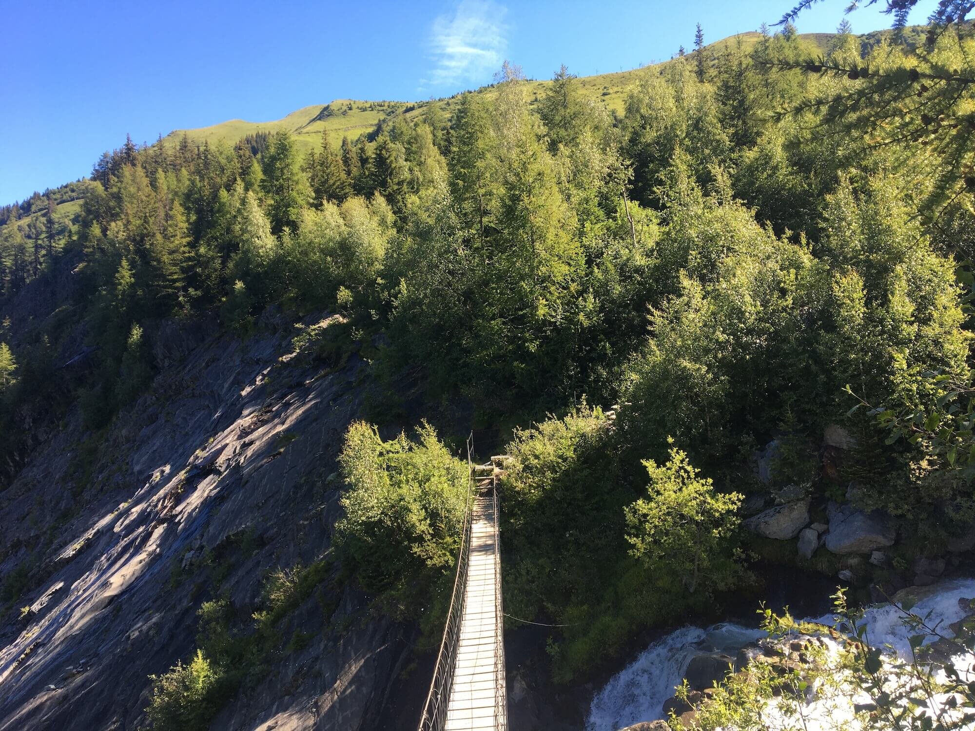
Trail Description: From Col de Voza, the trail leads towards the Bellevue plateau staying mostly within the trees until it reaches a junction marking one of the routes to summit Mont Blanc. Continue to the swing bridge above the run-off from the Bionnassay glacier then climb up an easy trail through myrtle berry bushes to reach Col de Tricot. The descent to Refuge de Miage is much steeper with switchbacks guiding you down. After some well earned refreshments, a short climb to Le Truc will bring you to another lookout point before the trail leads you down to the village of Les Contaminies where it will rejoin with the main route.
Difficulty: Hiking and Mountain Trail. Usually the first alternative route mountain pass to clear of snow.
Trail Junction Points: This route diverts from the main trail at Col de Voza and rejoins at Les Contamines-Montjoie.
Image taken from our Itinerary Builder that allows hikers to plan their itinerary using main and alternate routes.
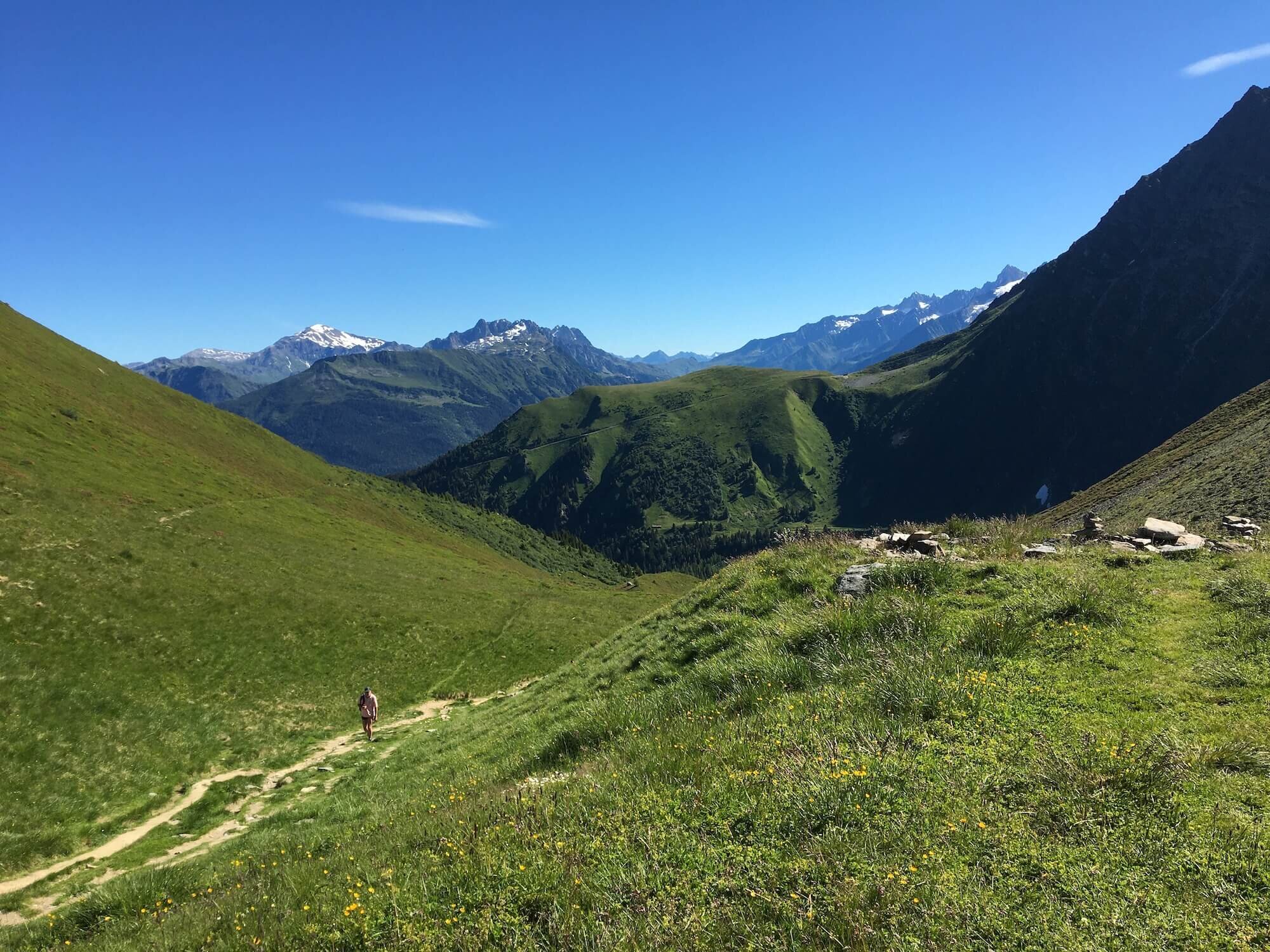
Col des Fours Trail
Between Col de la Croix and La Ville des Glaciers
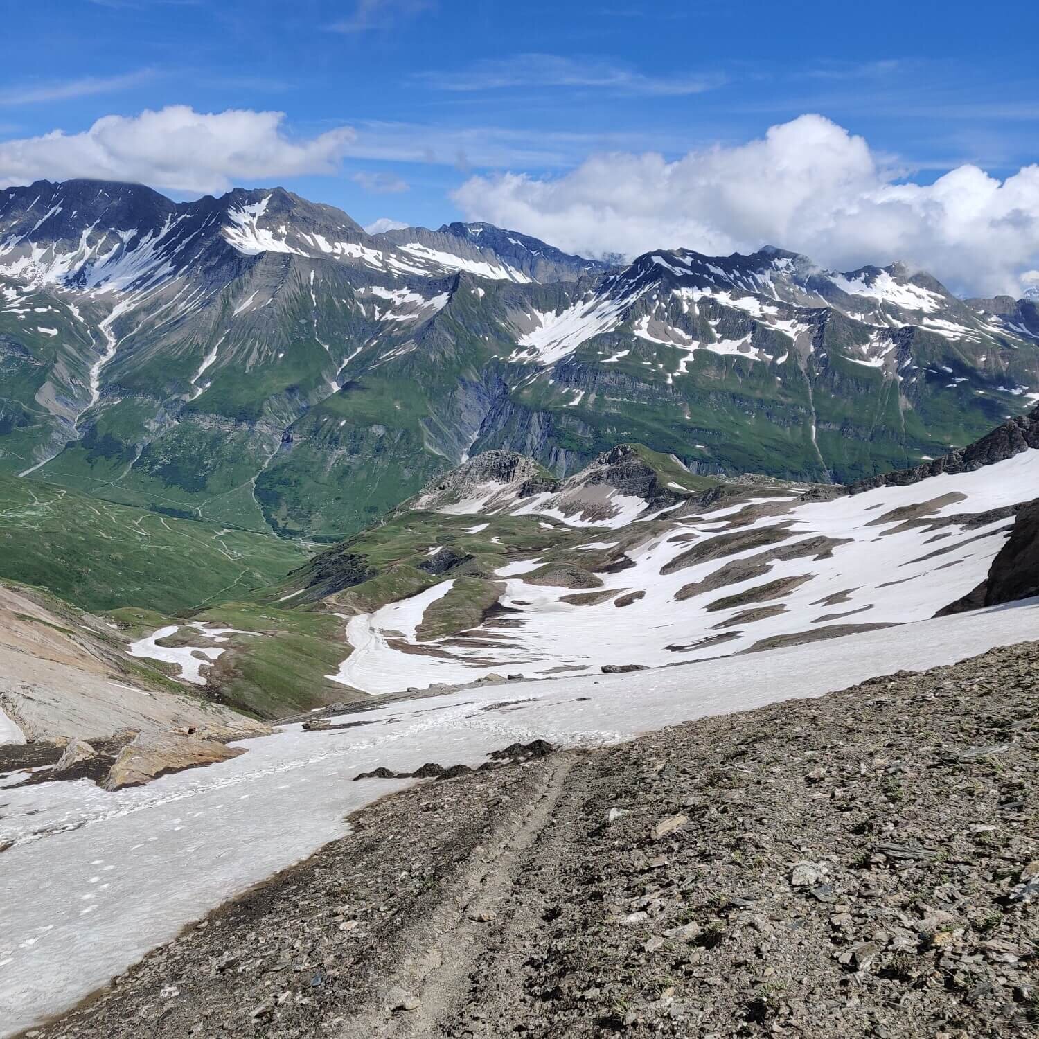
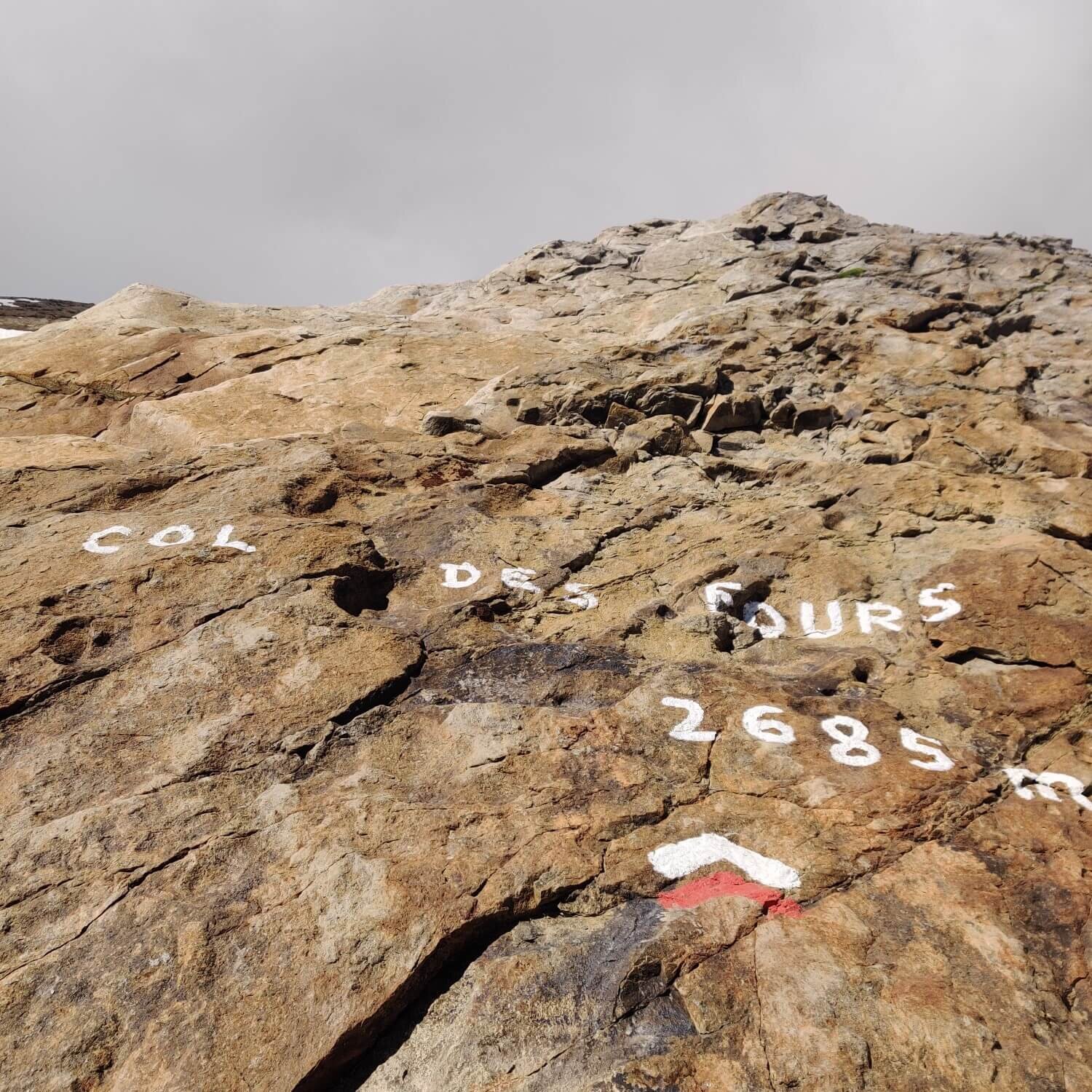
Trail Description: From Col de la Croix, the trail climbs quickly to Col des Fours. Leave your backpack and ascend to the peak (Tete Nord des Fours) for an even better view of the Southern end of the Mont Blanc massif if you have the energy. Return back to the pass and descend down the steep trail to meet the Ruisseau des Tufs stream. Follow this past the hamlet of Les Tufs and through alpine meadows as you descend to Valle de Glaciers.
Difficulty: Hiking and Mountain Trail. There is a steep section at the top on the Valle de Glaciers side which is challenging when snow is on the trail (typically until early July).
Trail Junction Points: The trail diverts at Col de la Croix and rejoins at Valle de Glaciers.
Considerations: Choosing this option may reduce your overall itinerary by one day as it is shorter than the main trail via Les Chapieux.

Image taken from our Itinerary Builder that allows hikers to plan their itinerary using main and alternate routes.
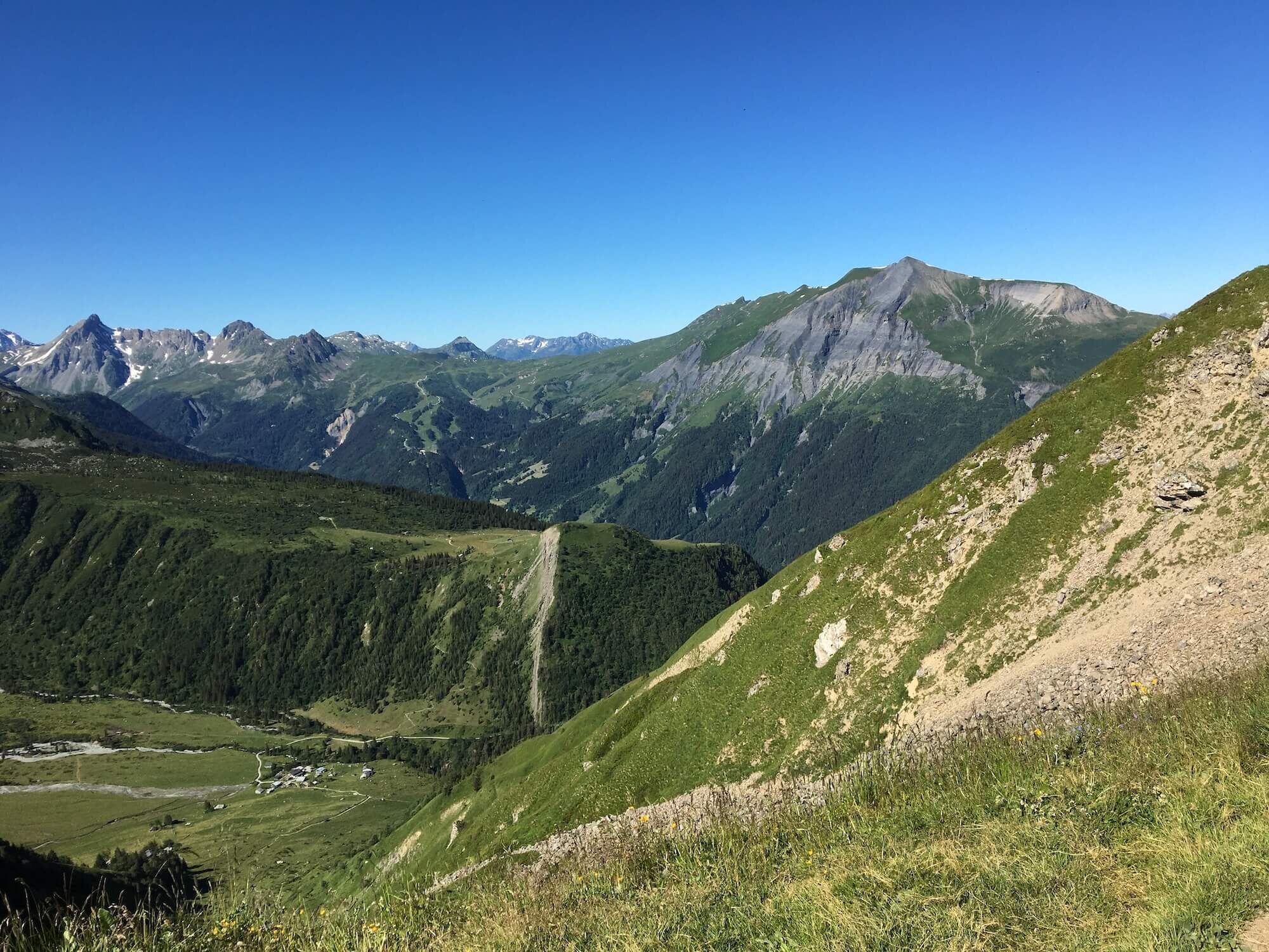
Col Sapin Trail
Between Mont de la Saxe Junction and Rifugio Bonatti
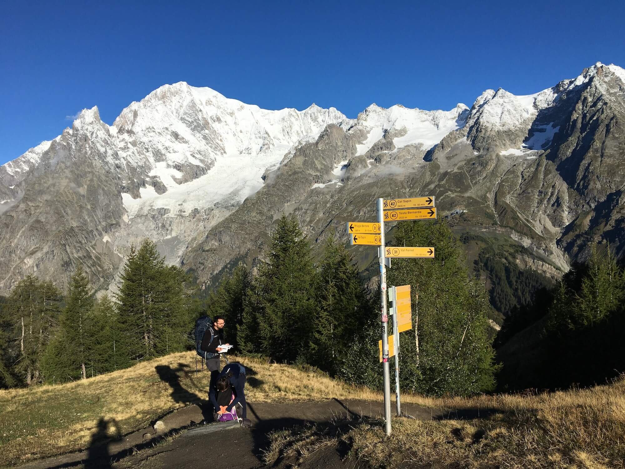
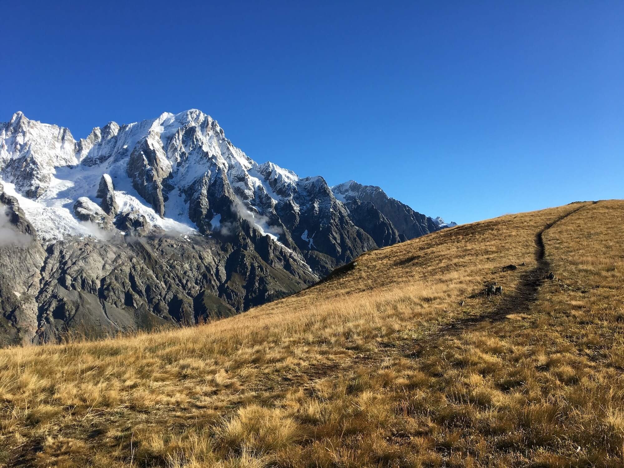
Trail Description: At the trail junction after Rifugio Bertone, take the trail that steeply climbs up to a wide ridgeline trail. From here there are undisturbed panorama of the Mont Blanc massif. The trail continues to gradually climb and passes through Mont de la Sax and leads up to Testa Bernada and Tete de la Tronche where the best views of the Mont Blanc massif are. Continue along the path to Col Sapin and down into the next valley where you will cross the Torrente d Arminaz streams before climbing again to Pas Entre-Deux-Sauts. The trail then leads you toward the Mont Blanc massif and down the left side of the valley to Rifugio Bonatti where you will rejoin the main trail.
Difficulty: Hiking and Mountain Trail.
Trail Junction Points: The trail diverts at Mont de la Saxe and rejoins at Rifugio Bonatti.
Image taken from our Itinerary Builder that allows hikers to plan their itinerary using main and alternate routes.
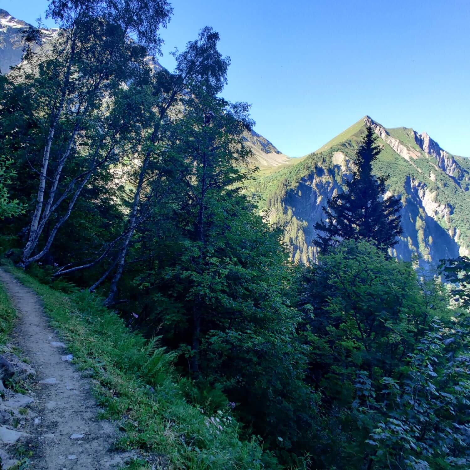
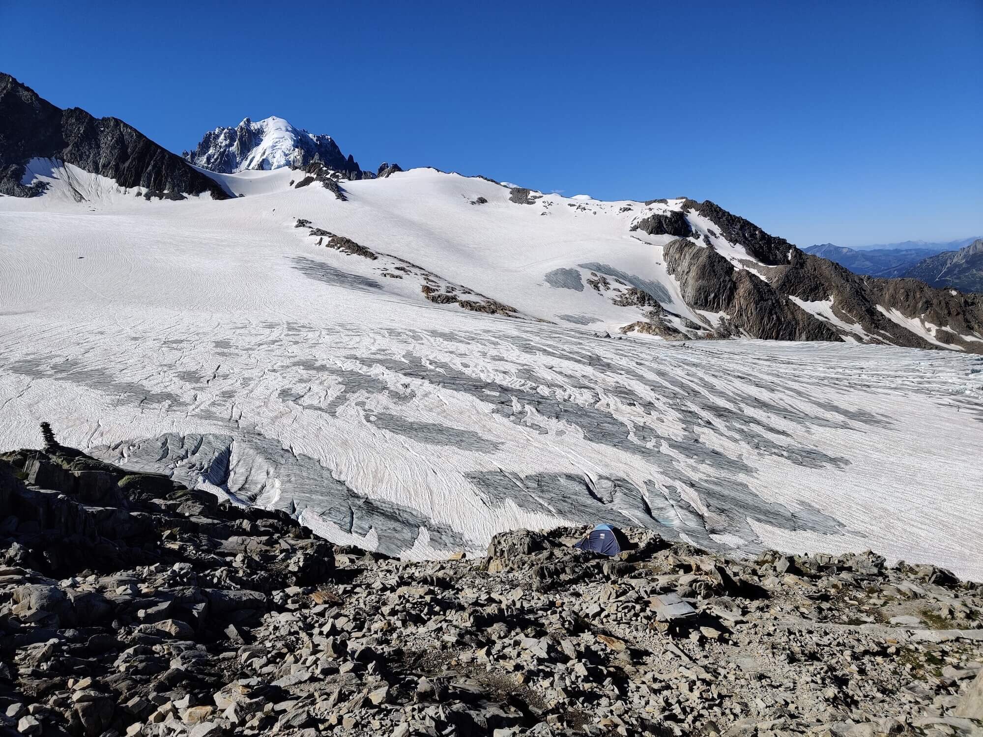
Fenetre D’Arpette Trail
BetweeN CHAMPEX-LAC and COL DE LA FORCLAZ
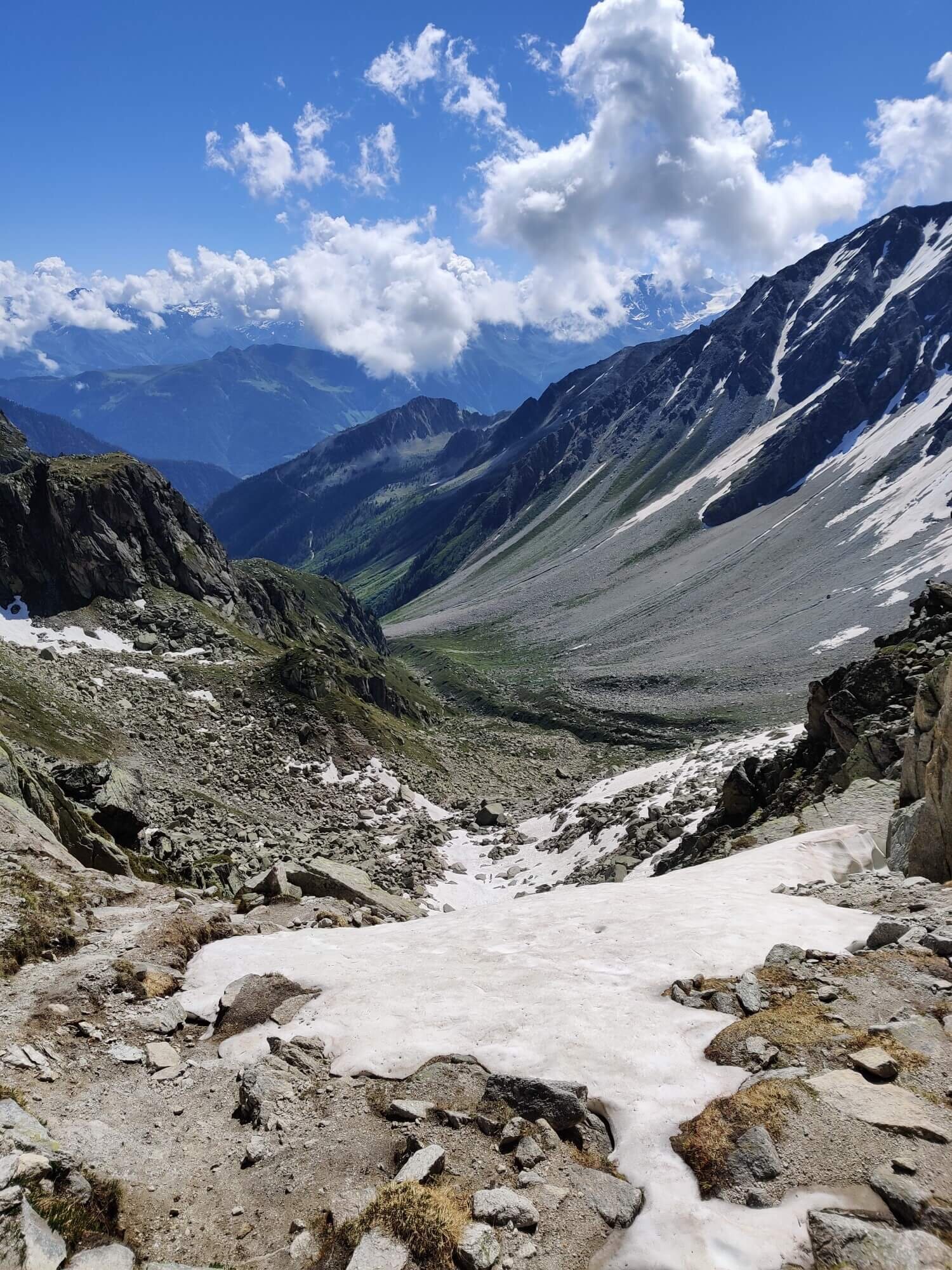
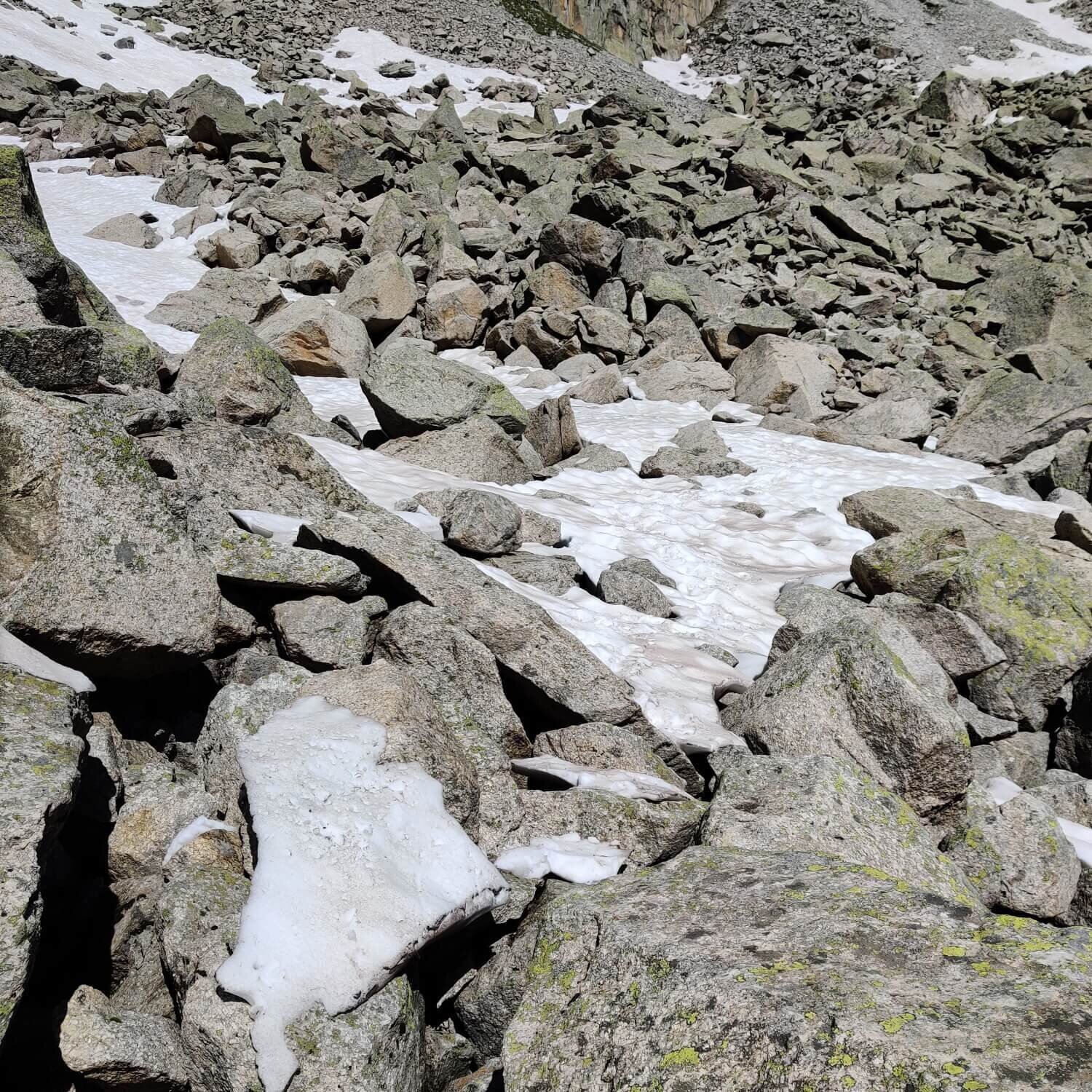
Trail Description: From Champex Lac, follow the network of streams up through the trees and into the Valley of Arpette. Pass Relais d Arpette (a cute restaurant and hotel) and continue through alpine meadows as you beginning climbing. The trail becomes narrow and rocky as it steepens, leading you across a large boulder field before your final ascent to the window of Arpette. On the other side, the Trient glacier commands your attention and gives you a good excuse to stop for breaks as you carefully follow a steep switchbacking trail down to Buvette Glacier du Trient. Stop for a well earned refreshment before continuing to accommodation in the Trient valley or further on your way.
Difficulty: Hiking and Mountain Trail. The area on either side of the Arpette pass is steep and exposed, with scree underfoot. Snowy/icy typically until the beginning of July - check conditions at refuges on either side to understand current conditions before attempting.
Trail Junction Points: The trail diverts at Champex Lac and rejoins at Col de la Forclaz.
Considerations: Choosing this option may reduce your overall itinerary by one day if you combine it with the Les Grands alternative route.
Image taken from our Itinerary Builder that allows hikers to plan their itinerary using main and alternate routes.
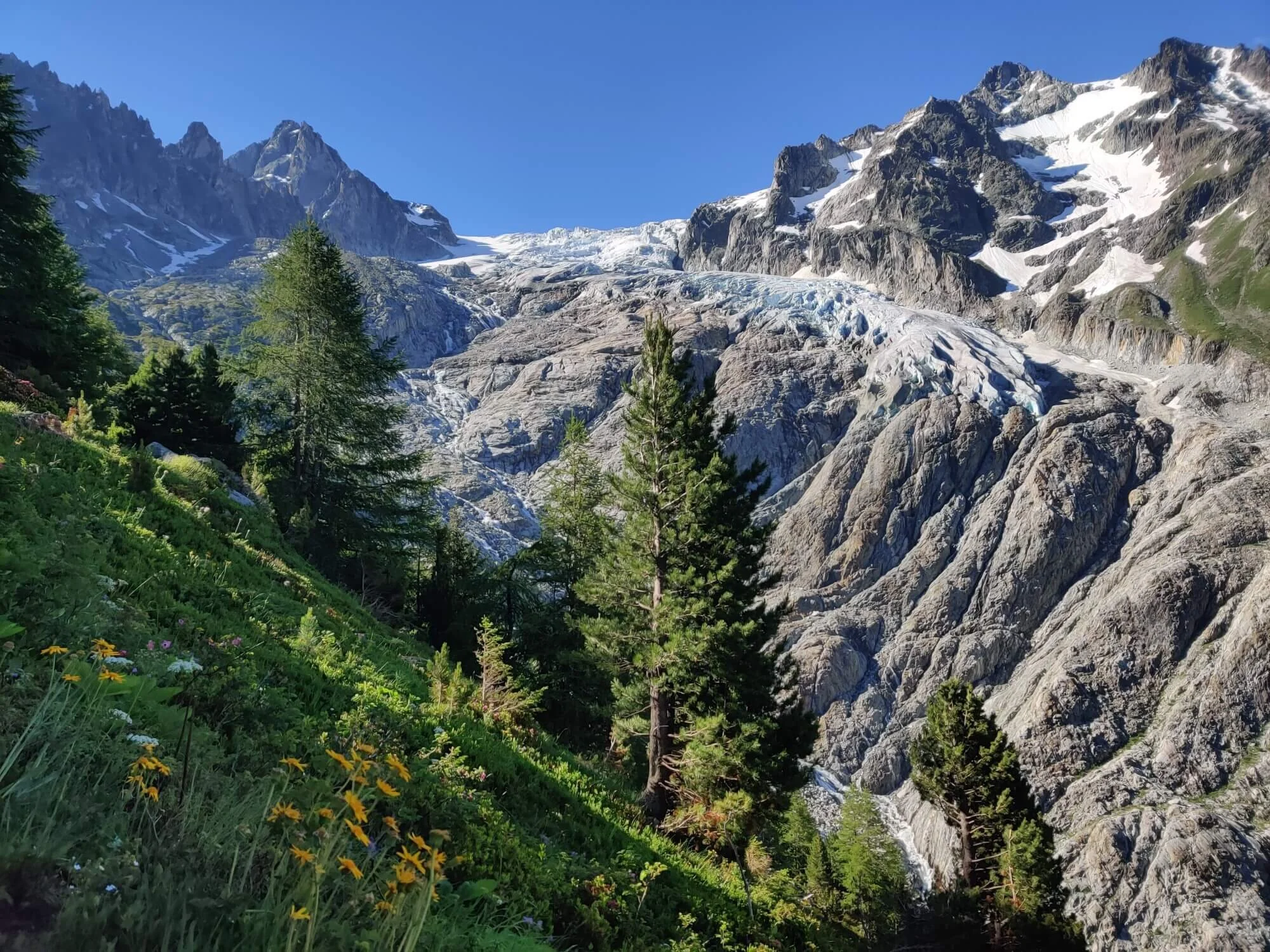
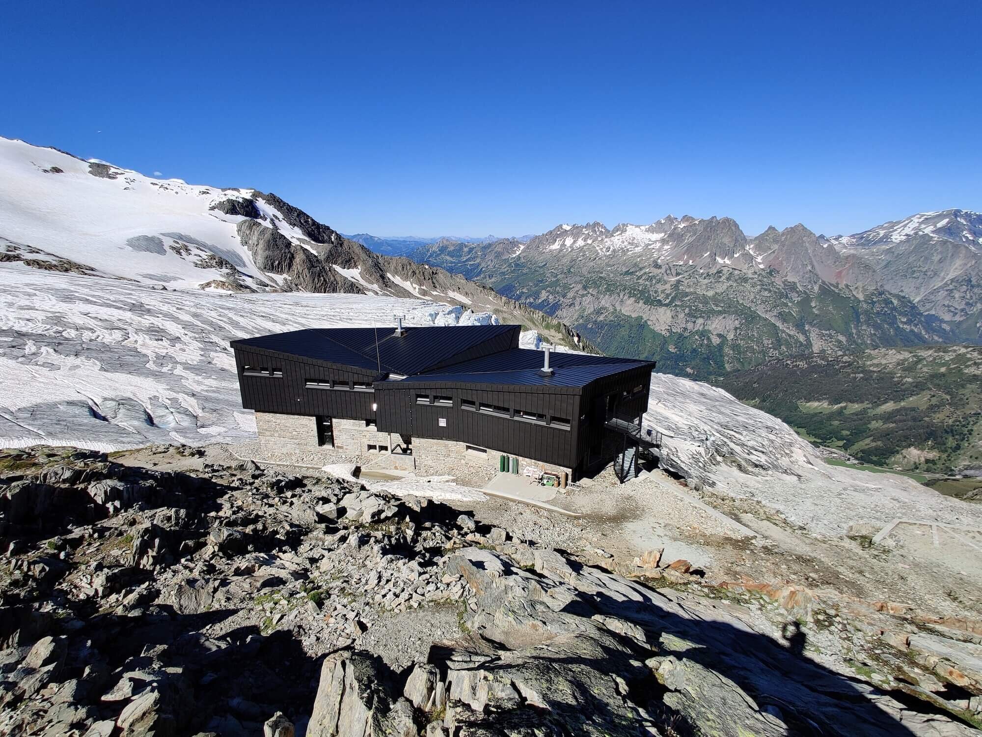
Les Grands Trail
BETWEEN COL DE LA FORCLAZ AND COL DE BALME
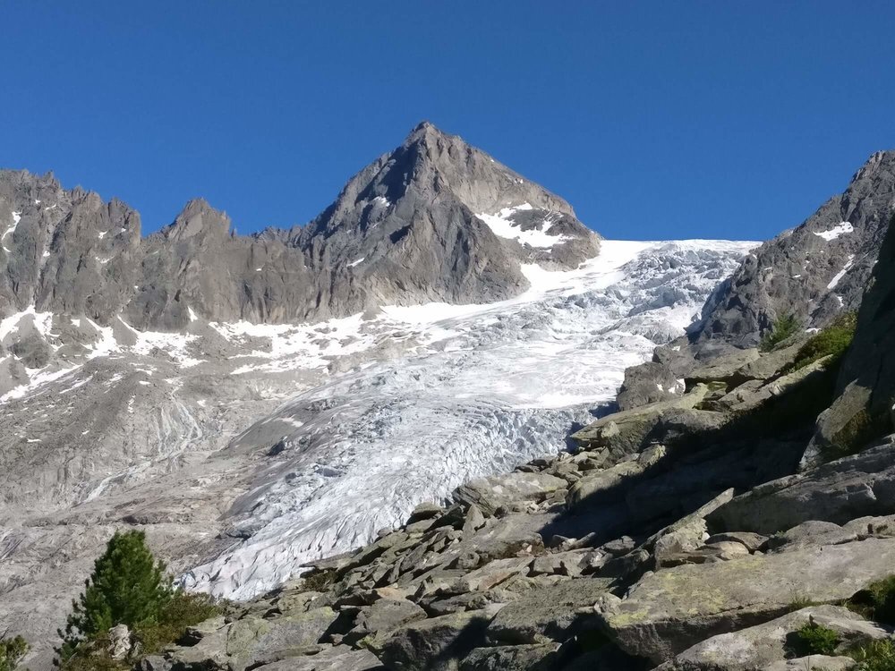
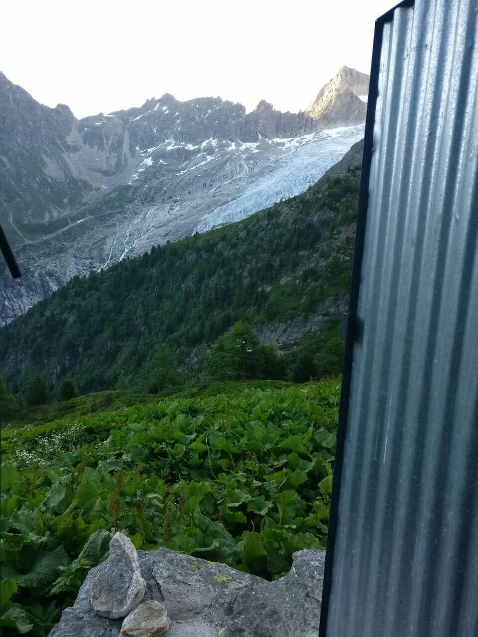
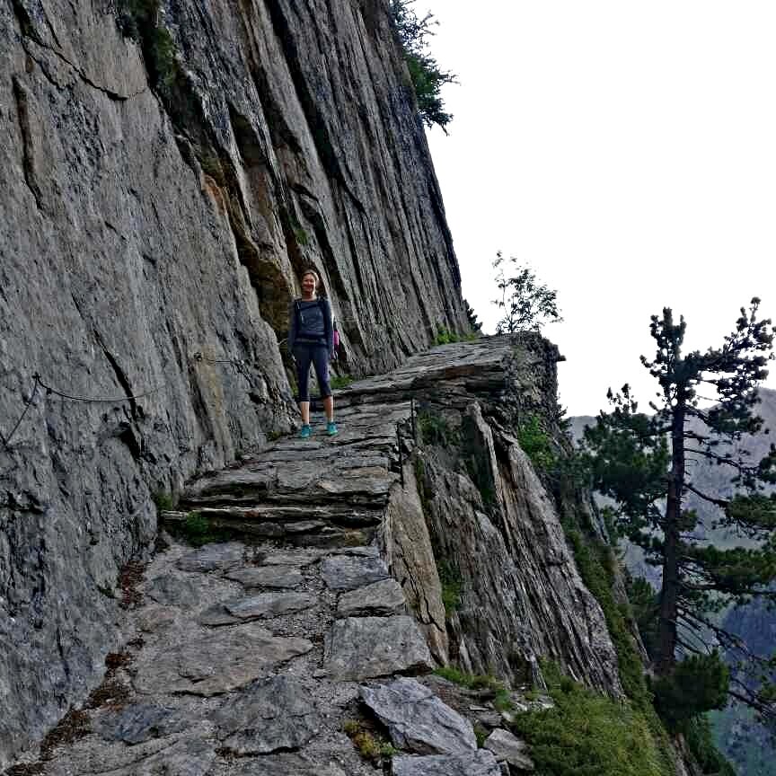
Trail Description: A more direct route to Col de la Balme that bypasses most accommodation options in the Trient valley. From Col de la Forclaz, take the trail up the valley towards the Trient glacier. At the Buvette du glacier du Trient, cross the bridge and take the trail leading up through the forest and staircase carved into cliff to Refuge Les Grands. Have a break here to enjoy the views of the Trient glacier from across the valley before continuing on above the treeline to Col de Balme where you will rejoin the main trail.
Difficulty: Mountain Trail with some boulder crossings.
Trail Junction Points: The trail diverts at Col de la Forclez and rejoins at Col de Balme.
Please note: For the 2022 season, this privately owned refuge announced they were not going to make it available to the public anymore. It is still available to their local club members, so you may see people staying here when you pass by. There were reports from the 2022 season that some hikers still stayed there by asking if they could upon arrival, however, we would only recommend trying this if you were prepared to camp as a backup.
Image taken from our Itinerary Builder that allows hikers to plan their itinerary using main and alternate routes.
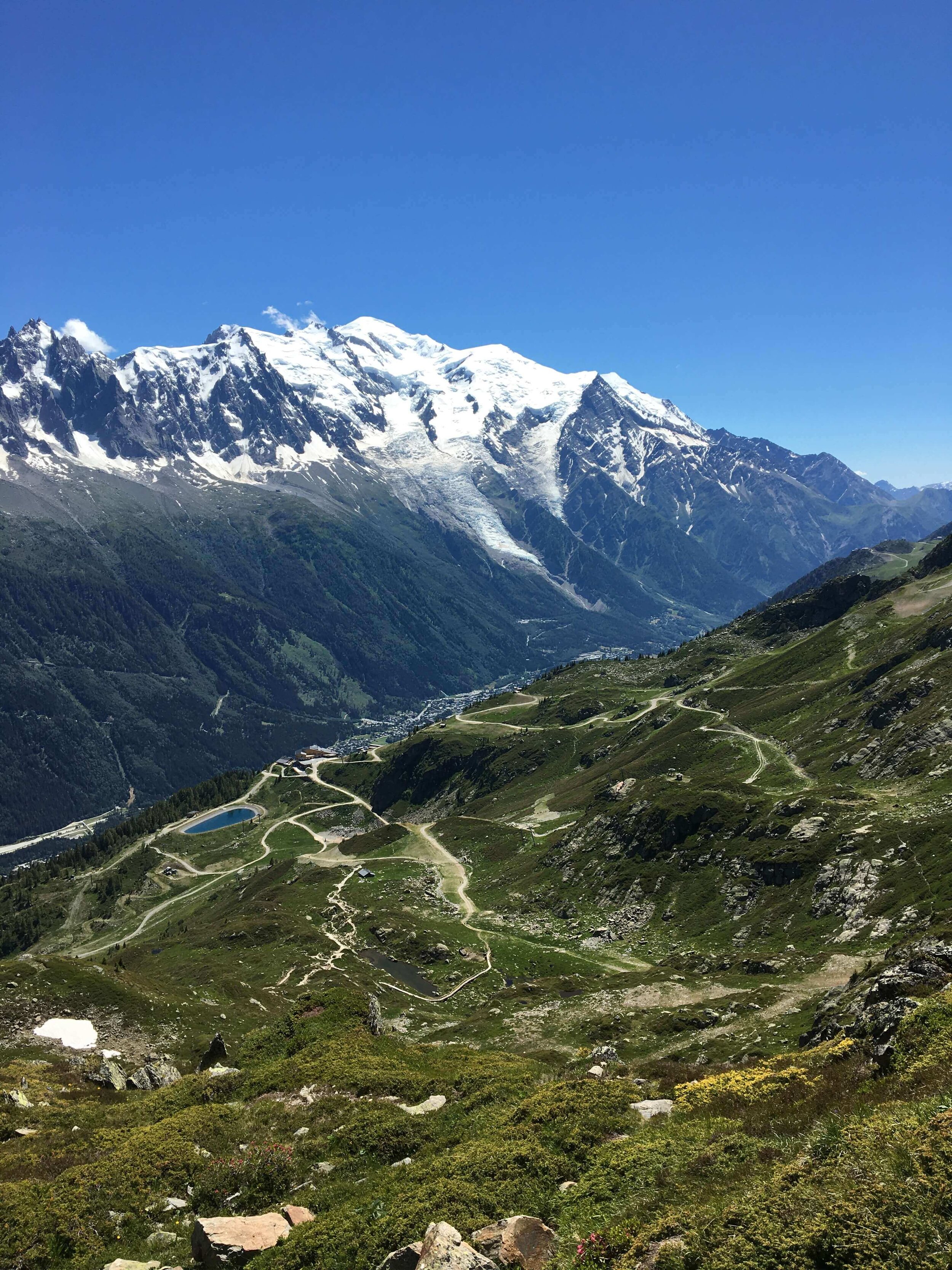
Le Tour Glacier Trail
between Col de Balme and tre LE CHAMP
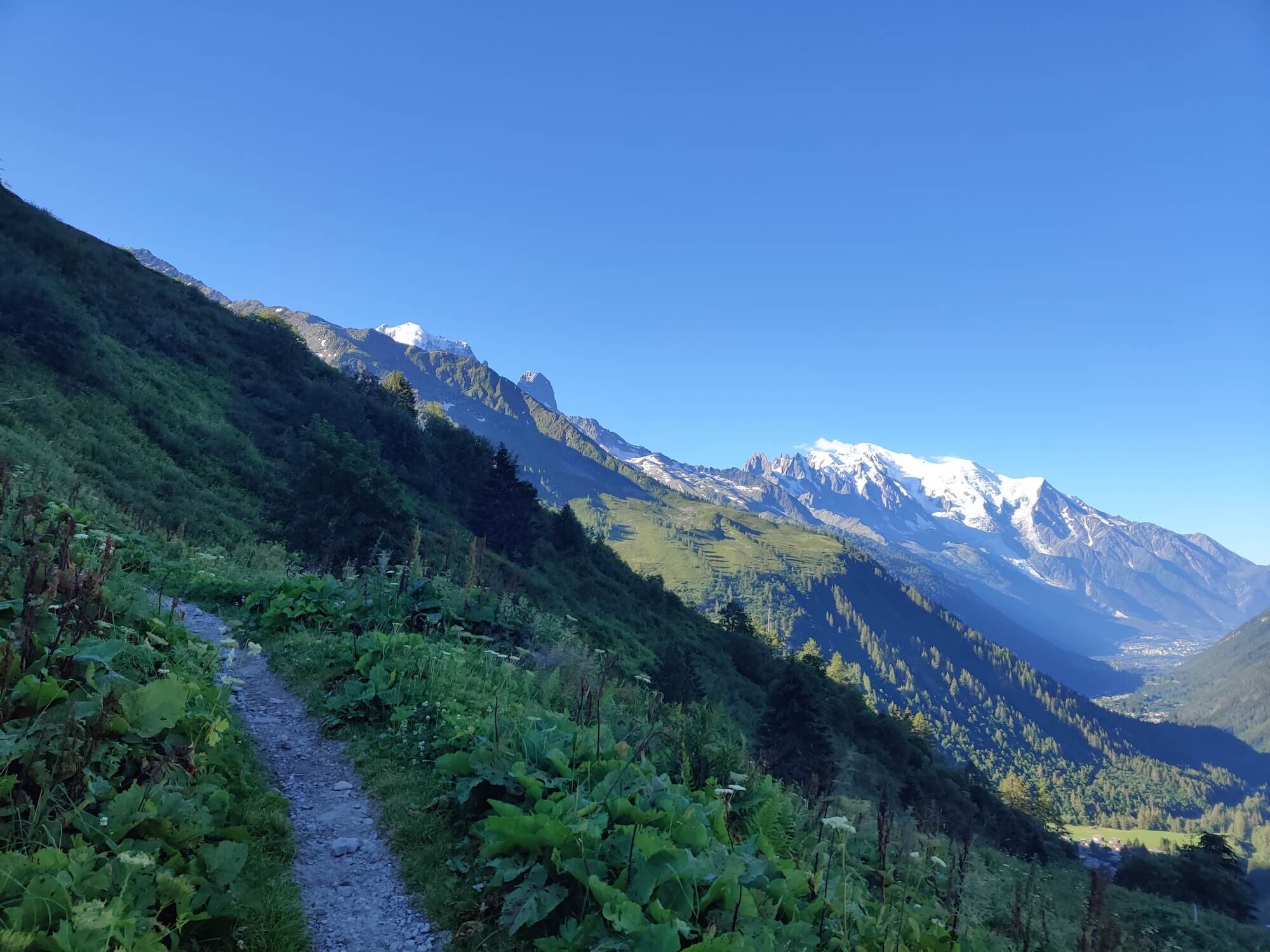
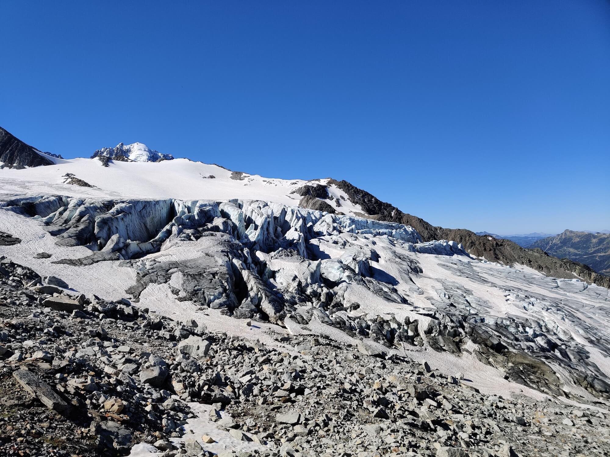
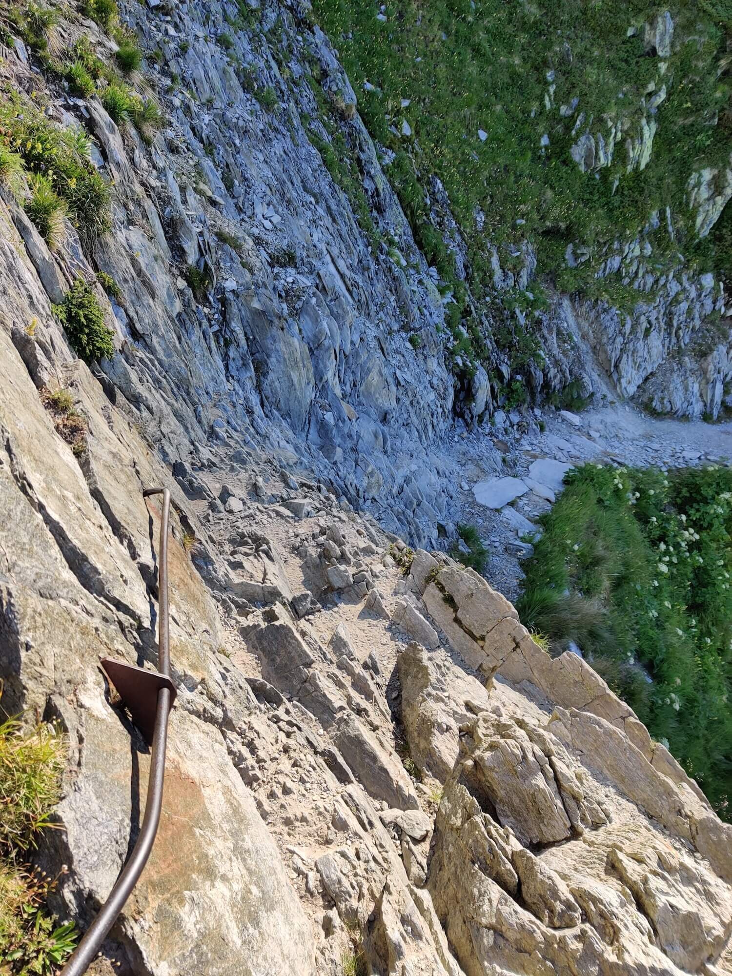
Trail Description: Did you know there are 70 glaciers on the Mont Blanc massif? Most of them are high up and difficult to reach without mountaineering equipment and skills, however, Le Tour glacier is within reach of hikers. This route leaves the main trail at Charamillon within Le Tour ski area, by branching right/south and heading toward the Mont Blanc massif. After crossing an alpine plateau, a balcony trail then leads you higher and back towards Chamonix, offering stunning views of Mont Blanc and Aiguilles Rouges from the high mountain vantage point. Some exposed and cable/ladder assisted sections need to be crossed and the final 0.6km / 0.4mi ascent is steep but well marked along a rocky path that zig zags its way up to the edge of Glacier du Tour and Albert Premier (1er) refuge.
The descending route follows the same path to the junction near Lac de Charamillion, where it descends across another alpine plateau to Charamillion in the Le Tour ski area. From here, descend to the Le Tour village in the valley below and through Montroc before a short climb will bring you to Tre le Champ where you will rejoin the main trail.
It is possible to bivouac/wild camp above the refuge.
Difficulty: Mountain Trail.
Trail Junction Points: The trail diverts at Col de Balme and rejoins at Tre le Champ.
Considerations: Choosing this option may add 1 day to your overall itinerary if you decide to stay overnight at Albert Premier (1er) Refuge.
Image taken from our Itinerary Builder that allows hikers to plan their itinerary using main and alternate routes.
Lac Blanc Trail
Between Tete aux Vents junction and Refuge la Flegere
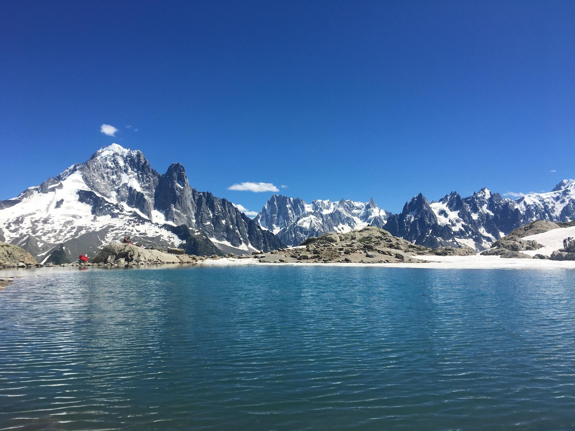
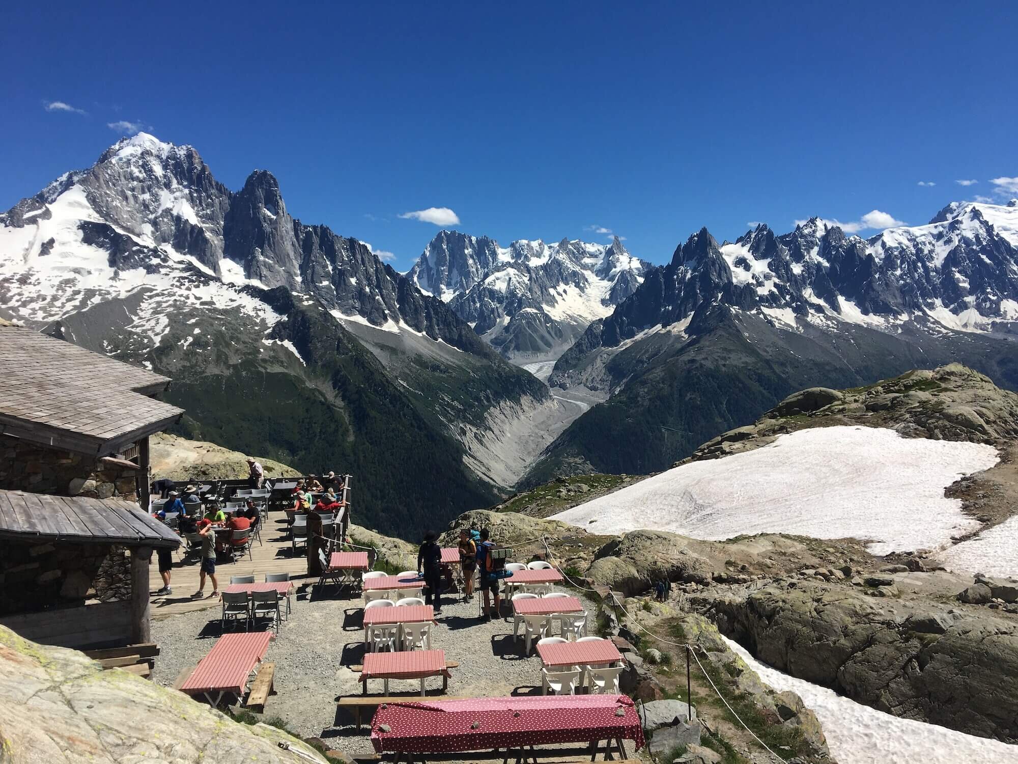
Trail Description: From the Grand Balcon Sud junction above Aiguillette d Argentiere, take the trail that continues to ascend past Lac De Cheserys. A couple of ladders will help you climb some of the rocky outcrops as you gain more elevation to reach the popular and picturesque Lac Blanc. After enjoying some refreshments at the refuge and the views from your high vantage point across the valley to Mer de Glace, the "Aiguilles de Chamonix" (Chamonix Needles) and of course Mont Blanc, descend on the recently refurbished path to La Flegere where you will rejoin the main trail.
Difficulty: Hiking and Mountain Trail.
Trail Junction Points: The trail diverts at Tete aux Vents junction and rejoins at Refuge la Flegere.
Considerations: Choosing this option may add 1 day to your overall itinerary if you decide to stay overnight at Refuge Lac Blanc. A bivouac is allowed from dusk till dawn in the area but not near the refuge.

Image taken from our Itinerary Builder that allows hikers to plan their itinerary using main and alternate routes.
Well that’s it - our list of top alternate routes for the Tour du Mont Blanc. If you want more reading, check out our detailed blog post of the Main Trail sections of the Tour du Mont Blanc. We hope this helps you decide on which routes to include (or exclude!) on your epic hike around Mont Blanc.
Happy Planning!
Brendan
Founder, The Hiking Club
READY TO START PLANNING YOUR OWN TOUR DU MONT BLANC ADVENTURE?

Everything you need to plan, book, prepare and navigate your adventure.
This package includes;

Access a trail expert to prepare an itinerary that meets your needs.
This package includes;
Personalised itinerary designed by our trail expert