The Hiking Club partners with ExoLabs to provide snow data from space

How AI, satellites, and Swiss innovation will keep thousands of self-guided hikers safe in the Alps this summer.

How much snow is still on the trail, and where exactly is it? The answers to these important questions are required for early-season hikers to assess the risk of their planned route and determine if any changes are necessary. Uncertainty around snow conditions can be costly, leading to both re-planning and risk-taking, negatively impacting what should otherwise be the incredible experience of hiking in the Alps.

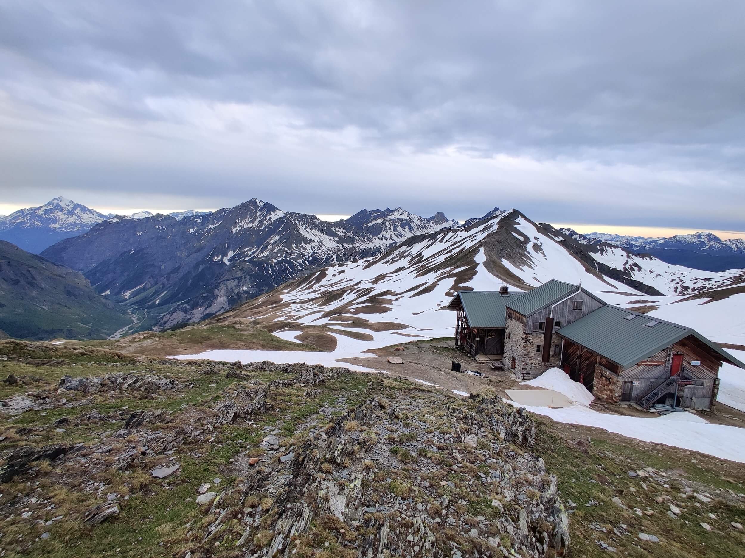
For the past 5 years, The Hiking Club has been undertaking the task of providing the latest trail conditions through a human-led approach, a “Break The Trail” update from The Hiking Club team, and then ongoing daily trail reports from trail ambassadors from The Hiking Club community. Despite these programs giving self-guided hikers a comprehensive view of where the snow is on the trail at a point in time, these updates can quickly become obsolete. The Hiking Club team has been searching for a way to provide more regular snow updates in a format that is targeted and actionable.

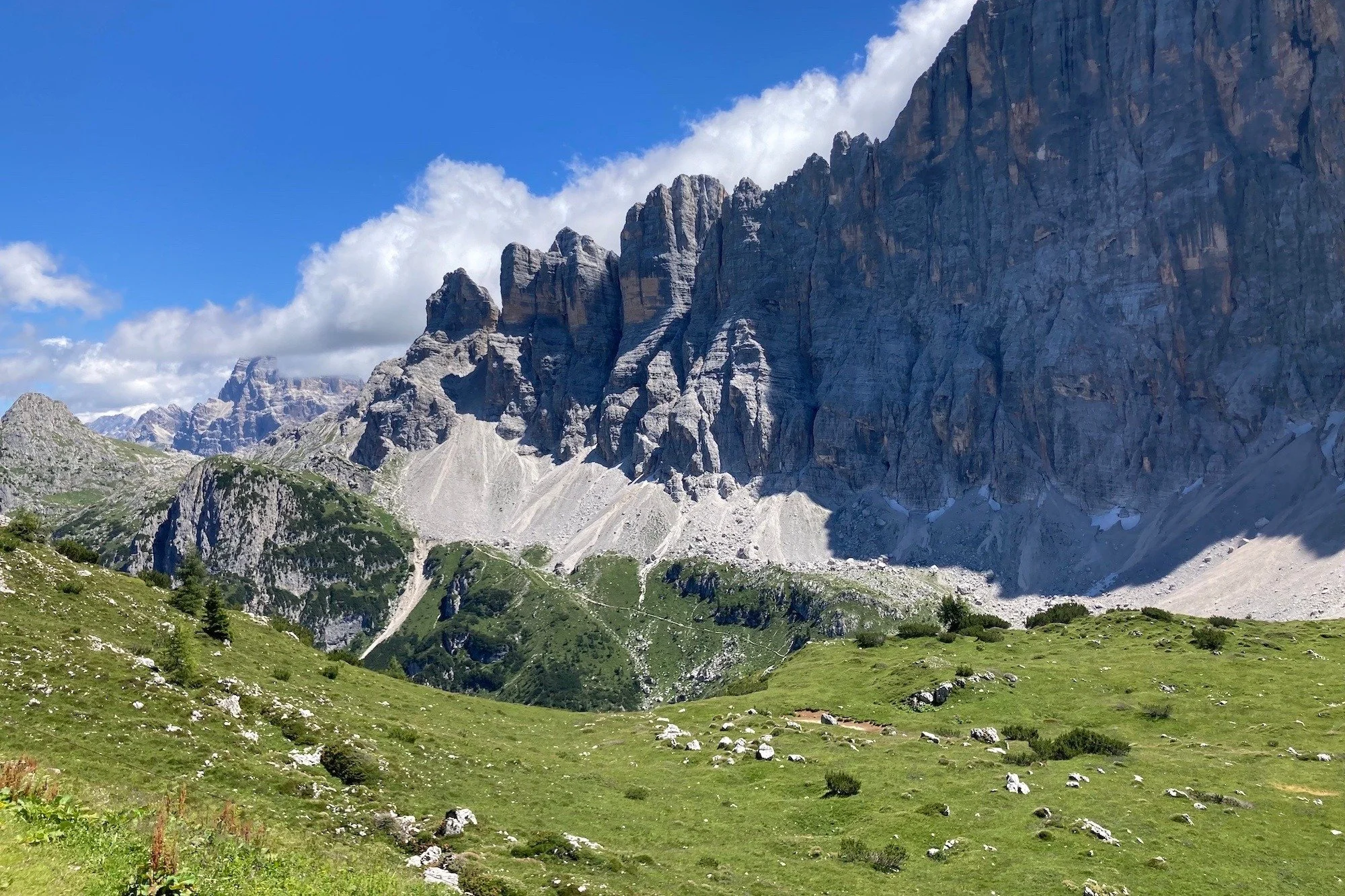
Thanks to The Hiking Club’s new partnership with ExoLabs, we’ve found it. The Hiking Club has integrated ExoLabs’ estimated current snow depth and 48-hour new snow forecast layers into the map in their trip planning app. Snow uncertainty will be a thing of the past on famous multi-day trails in the Alps, like the Tour du Mont Blanc, Walker’s Haute Route, and Alta Via 1 Dolomites.

The estimated current snow depth will be critical for hikers in June and July, to ensure they have the most up-to-date information on where the snow is located and its expected depth along the trails. The 48-hour new snow forecast will be valuable for hikers throughout the season as it will indicate where and how much snow is expected to fall along the trails for informed decisions.

Estimated current snow depth and 48-hour new snow forecast layers now available in The Hiking Club trip planning app.

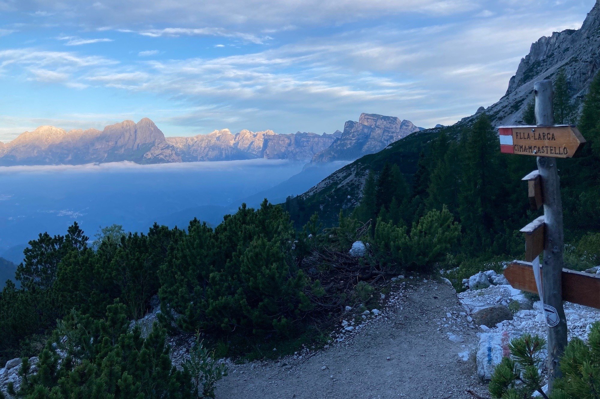
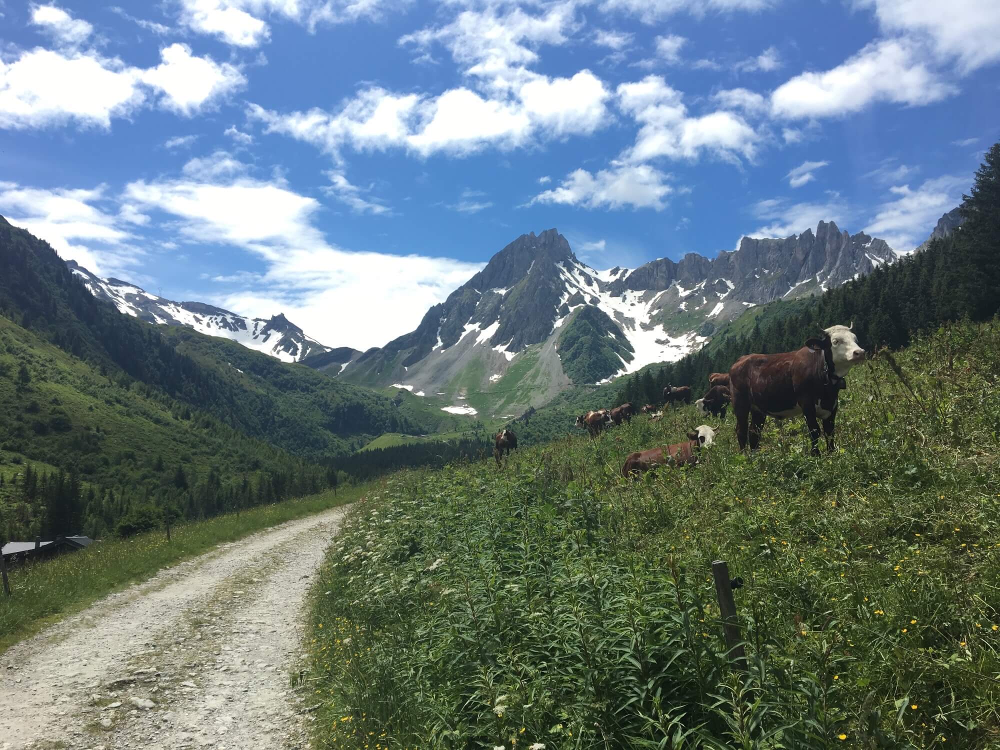
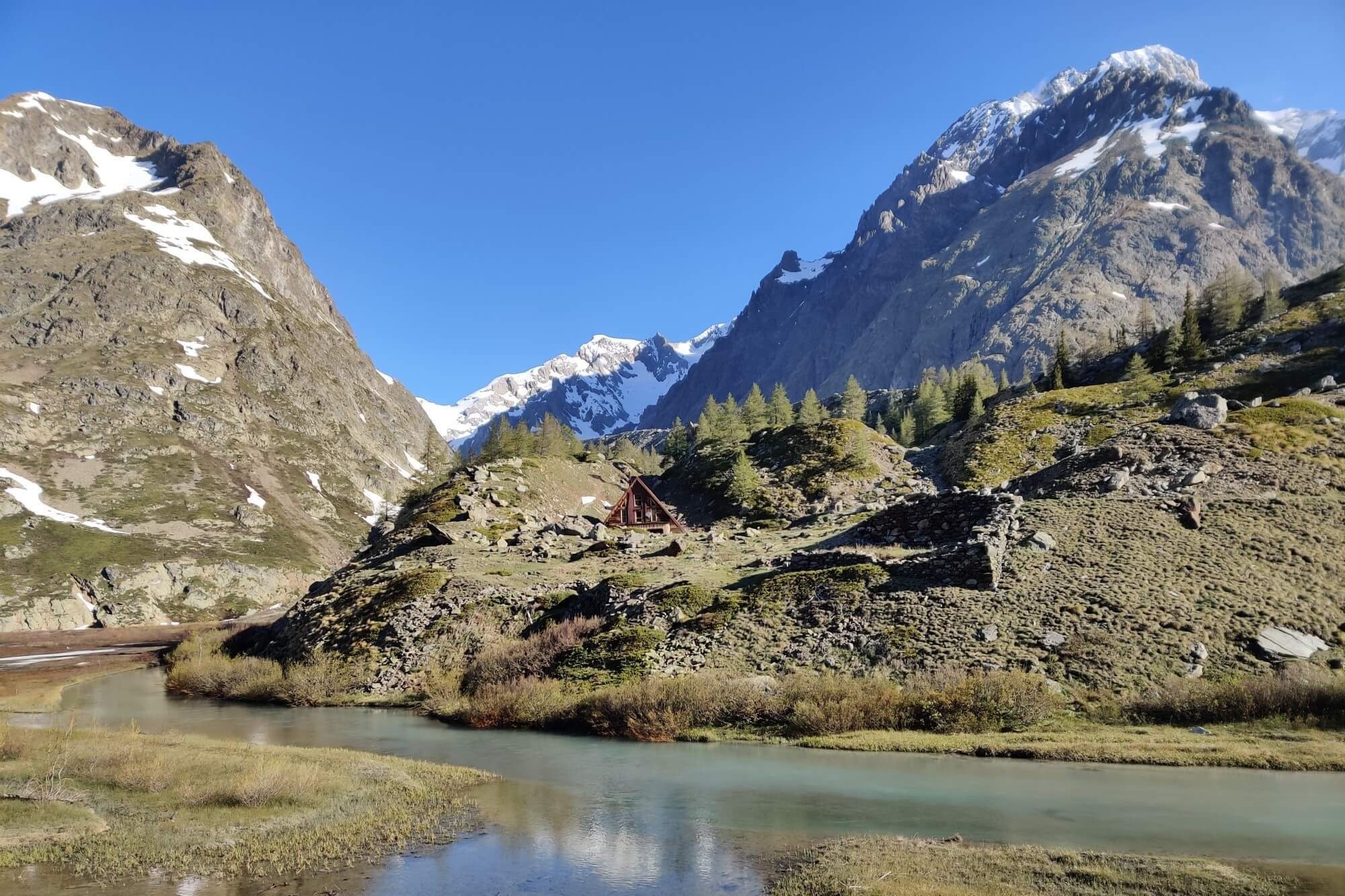
These legendary trails attract self-guided adventurers from around the world who are often experienced in mountain hiking but have little or no experience in the Alps. Without having local knowledge over multiple seasons, applying general snow reports of an area to a hiking route is hard. Tour companies often use local guides to check trails and translate these reports for their clientele, but self-guided hikers who have planned their own trips don’t have access to this resource.

“It has never been easier for self-guided hikers to plan their own trips in the Alps, and by adding ExoLabs snow layers to our app, we will also help make the early season hiking experience safer than it has ever been before.”
— Brendan Jones, Co-Founder of The Hiking Club

ExoLabs has developed an innovative solution to show the expected current snow cover and snow depth on a map. Their truly novel approach feeds daily satellite imagery and weather station data, (including field readings and snow analysis), through complex models driven by modern machine-learning techniques to produce a snow distribution over the topography of the Alps and other mountain ranges worldwide. This snow projection has a 20-meter resolution and is updated daily.

The snow depth layer was validated with over 2 million data points from the Swiss Alps and achieved an average error of just 0.36 meters of snow depth. Given the high variability of snow depth distributions and the spatial resolution of 20 meters, this is considered a very accurate result. It will be a marked improvement on the single high-level snow report for a region that has previously been available to the hiking community.

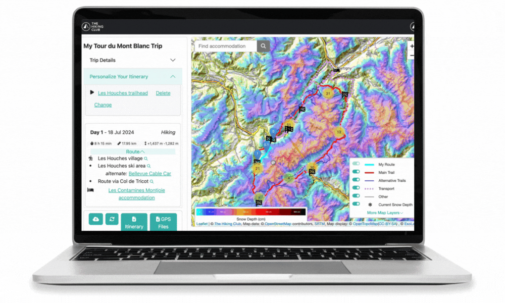
Make informed route decisions based on estimated current snow depth data in The Hiking Club’s trip planning app.

The new snow layers are now available in The Hiking Club planning app, part of release V1.11, and will be the basis for our 2024 trail updates program during the early hiking season.


About ExoLabs: Linked to the University of Zurich, Exolabs specializes in environmental monitoring. Using satellite data as well as weather and climate models, and modern machine learning techniques, ExoLabs is able to gain a comprehensive insight into the condition of our environment. This valuable information is then presented in a user-friendly format in order to facilitate informed and sustainable decision-making.

About The Hiking Club: The Hiking Club allows adventures to easily plan and safely navigate legendary trails in the Alps. With a trip planning app, GPS mobile maps, and up-to-date trail information, The Hiking Club has everything a self-guided hiker and trail runner needs for their inspiring and challenging journey.

2024 Training Diary: First 6 weeks

Off season activities: I enjoyed competing in a local triathlon during the off-season. Michael (L) and Brendan (R).

In October each year, I transition to my hiking off-season exercise regime, which involves very little forward planning, structure, or activity tracking. This is in stark contrast to my action-packed hiking season in the Alps, which is all about detailed daily planning and capturing content. While my off-season approach to exercise usually adds a couple of inches to the waistline, it’s a great way to unwind and give my body a break.

At the end of February, my approach to exercise changes gear as I move from free-wheeling to a formal training plan in preparation for the upcoming hiking season in the Alps! I started following a structured plan in the lead-up to last season and found it to be a game-changer given my old approach was no longer working for me. You can read more about my training environment and change in approach here.

As noted in our first training diary blog post, Susan and I are planning to complete 8 legendary hikes to share updates for our existing trails and capture content for new trails we’ll be adding to The Hiking Club platform. My training plan for this year has been designed around completing the Tour du Mont Blanc in 5 days. All the trails I do after this will have similar size days, so provided I stay healthy and focus on recovery and maintaining my fitness between hikes, this is the right plan for me.

Training plans for hiking in the Alps: The Hiking Club has an educational webinar and template to help hikers create their own training plan.

I created my own training plan by using our template last year to prepare for my ‘Break the Trail’ hike. Given I was able to achieve all my hiking goals in 2023, I’m using our training program again for my 2024 preparation! Below, you will find a few notes and a self-determined grade for each of the training components over the first 6 weeks of my 2024 training plan.

Starting point

I chose to immediately build on my average weekly step count from the weeks leading up to the start of my training program rather than reducing my step starting point by taking credit for introducing strength sessions. I felt confident doing this wouldn’t overload my training, as I had already taken a conservative estimate on my current weekly step count and was already doing a lot of cardio training, which would be reduced. By using this approach, based on my average weekly steps before starting the program, our training framework calculated that I needed a 12-week training plan to reach the goal of being ready for a 5-day Tour du Mont Blanc.

Strength sessions

Mark: 5/10

Despite having the best intentions to complete these, I’ve only done half of the sessions so far. Because of this, I haven’t done any ‘deload’ weeks as I’m already having these rests by not doing all the sessions. I’m disappointed by this, given I know how important and beneficial they are! I always plan to do them in the evening after the kids have gone to bed. However, I’m not very motivated to exercise at this time, especially when it’s the second workout of the day, so I needed to change it up for the next 6 weeks!

ENDURANCE TRAINING - SHORT CARDIO

Mark: 10/10

Bike riding: I love understanding how to take credit for different activities with the conversion table in our training plan. Pat (L) and Brendan (R)

I’m enjoying a variety of activities for my short cardio, including swimming, running, stair-stepping machines, and bike riding. I haven’t had any problems achieving my short cardio goal, and I regularly go well over the weekly target, given that it’s normal for me to do a lot of cardio each week.


ENDURANCE TRAINING - STEPS

Mark: 8/10

Training in Australia: A steps endurance session quickly turns into a short cardio session when there is a snake on the trail!

I’ve had a lot of variability in my step count each week. In total, I’ve done 33,000 more steps than I needed to over the first 6 weeks of the program, however, I’ve gone way over the weekly goal in half the weeks and then between 2,000-7,500 steps under on the other half. Each week, I’m pleased to have completed a longer endurance session on Saturday and will focus on trying to get closer to the step goal each week.

One thing I realised is that my stride length is nearly 50% higher when I run than when I walk. Therefore, I’m doing a distance-based step conversion for any hiking/running where my stride length is more than a walk, so they can be applied to the overall step count in the same step unit measurement (which is my average step/stride walking length).

REST

Mark: 8/10

One planned rest day and occasionally I’ve also had another unplanned day when I couldn’t find the time for training. Rather than changing my plan to train on my next planned rest day, I’ve opted to ‘catch up’ on the endurance training.


It’s great to be back training with purpose again. Based on how I’m feeling halfway through my 3-month program, I’m confident that I’ll have the endurance and strength to thrive on my 2024 Break The Trail hike. If you want to use our training program to create your own plan, check out the bundle below.

Author: Brendan Jones, The Hiking Club
A pizza-making, craft beer-loving, peanut butter connoisseur that has been exploring the great outdoors since completing the Duke of Edinburgh Award in high school. He started The Hiking Club to democratise hiking and the benefits that come from spending time in nature. You can read more about Brendan and the team here.

How much does it cost to hike the Bernese Oberland in Switzerland?

How much does it cost to hike the Bernese Oberland in Switzerland?

It costs 500 Swiss Francs to plan your own 6-day hike in Bernese Oberland, Switzerland.

This cost will vary depending on the number of days on the trail, and your accommodation, food, and transport preferences. So, how do you calculate how much it will cost for your trip? Here are a few sample itineraries using actual 2024 costs to help you out!

Europaweg Trail: Complete guide

Europaweg Trail: Complete guide

The Europaweg Trail between Grächen and Zermatt is one of the most famous two-day hikes in the Alps, as well as forming part of the Walker’s Haute Route and Tour of Monte Rosa. In the past few years, there has been some confusion about where exactly the Europaweg trail goes, due to the original route still appearing on some outdated maps, apps and guidebooks. In this updated post, I share details about the Europaweg trail, clarify where the route goes and share a brief history of trail changes in recent years.

How much does it cost to hike the Tour du Mont Blanc?

How much does it cost to hike the Tour du Mont Blanc?

It costs €826 to plan your own 10-day hike of the Tour du Mont Blanc. This amount comes from our new cost calculator for the Tour du Mont Blanc, which uses over 300 actual customer itineraries and 2023 costs from nearly 100 accommodation and service providers along the trail. 

the calculator is for self-guided hikers to estimate how much it will cost them to organise their own hike of the Tour du Mont Blanc based on their preferences. Give it a try!

Hiking Poles: Essential Gear for Long-Distance Hiking in the Alps

Hiking Poles: Essential Gear for Long-Distance Hiking in the Alps

Hiking poles are essential gear for long-distance hiking in the Alps. They provide a number of physical benefits that can help you hike more comfortably and efficiently. Read our blog post to learn more about why to use hiking poles, how to use them, where to buy them and how to travel with them on the aeroplane.

The Alta Via 1 Anytime Itinerary

Have you started planning your Alta Via 1 Dolomites hike in the usual 11 stages and finding fully booked locations for the dates you want?

You’re not alone!

Accommodation booking anxiety is experienced by most self-guided hikers that book their own accommodation…and a popular conversation topic on the trail :)


INTRODUCING THE “AV1 6 DAY ANYTIME” Itinerary

When accommodation availability becomes scarce, this 6-day itinerary can keep your Alta Via 1 dreams alive! Staying at villages and using transport provides you a much needed bed and allows you to hike 100km / 62mi along the Alta Via 1 route. You can opt to use just one, a few or all days to make your hike happen.

Average daily stats:

  • Distance: 17km / 11mi

  • Elevation gain: 950m / 3,100ft

  • Time (steady pace): 6 hours, not including breaks

  • Accommodation: Staying in villages that have the most accommodation options

This 6-day itinerary for the Alta Via 1 Dolomites gets around all of the Northern locations that are typically booked out…without needing to do any camping!

The Hiking Club has always championed self-guided hikers who want to stay in control of their itinerary and costs, by planning and booking their own trips. We have over 5 years of experience creating itineraries that are available to book at any time of the year. Our new trip planning app is the 3rd generation of our self-planning product that gives hikers the power to easily create an achievable, inspiring, and available-to-book itinerary in one session.

If you want some assistance in designing an itinerary that is ready for you to book based on your specific dates and requirements, we can do this via our Expert Access package.


day 1: lago di braies to san vigilio

The first stage travels through the Fanes, Sennes, Braies Natural Park, with 4 rifugios to choose from (Biella, Sennes, Fodara Vedla and Pederu). Once these are booked up, hikers have two options to overcome fully booked locations here:

  1. Continue hiking into Fanes section of Natural Park (Total 22km / 14mi) to reach 3 more accommodation options (Ucia dles Muntagnoles, Fanes, Lavarella)

  2. Catch the bus to stay in San Vigilio for the night. It takes 20 minutes and has 20+ hotels, b&bs, holiday rentals and campgrounds for hikers to choose from. In the morning, catch the same bus back to the trailhead to continue your hike.

Click to expand. The trip planning app is included in all self-guided packages.


day 2: san vigilio to san cassiano

One of the most popular rifugios on the AV1 is Rifugio Lagazuoi. It (and surrounding rifugios) often book out quickly for peak dates and therefore forces hikers to either hike a longer day to find accommodation or use public transport to reach a nearby village.

For those that can’t find accommodation along the trail at popular rifugios (including Lagazuoi, Scotoni, Valparola, Passo Giau), the best option is:

  • Catch the bus from either Sciare or Passo Falzarego to San Cassiano for the night. There are 15+ hotels, b&bs and holiday rentals to choose from. In the morning, catch the same bus back to the trailhead to continue your hike.

Click to expand. The trip planning app is included in all self-guided packages.


day 3: san cassiano to cortina

There are 6 rifugios in and around the Cinque Torri and Nuvolau area [Cinque Torri, Scoiattoli, Averau, Nuvolau, Fedare and Berghotel Passo Giau]. If these are all booked out on your dates, it is too far to continue on to Citta di Fiume, the next rifugio along the trail.

Therefore, the best options are:

  • Finish your hike at Cianzope bus stop and catch the 20 minute bus into Cortina, where there is lots of accommodation to choose from.

  • Finish you hike at Cianzope bus stop and catch 2 buses to San Cassiano, if you plan to stay there the previous night. Therefore you can hike today with just a daypack (luxury!).

Click to expand. The trip planning app is included in all self-guided packages.


day 4: cortina to pescul

If you are unable to secure accommodation at Rifugio Citta di Fiume, Aquileia or Passo Staulanza, your options are:

  • Continue hiking to Rifugio Palafavera (Total 27km / 17mi)

  • Finish your day by taking an alternative trail to Pescul, a small town with 10+ hotel, b&b and holiday rentals to choose from.

Click to expand. The trip planning app is included in all self-guided packages.


Day 5: Pescul to alleghe

If you are unable to secure accommodation to Rifugio Coldai, Tissi or Vazzoler, then you’ll need to find accommodation in Alleghe for the night:

  • Catch the gondolas down to Alleghe, a small town with 10+ hotel, b&b and holiday rentals to choose from. In the morning, catch the gondolas back to the trailhead to continue your hike. If you are feeling energetic, you could walk this section, rather than take the gondola.

Click to expand. The trip planning app is included in all self-guided packages.


day 6: alleghe to listolade

If you are unable to secure accommodation at Rifugio Carestiato, San Sebastiano or Passo Duran, then there are two options:

  • Continue hiking to Rifugio Pramperet (Total 35km / 22mi)

  • Finish you day (and your hike!) by taking an alternative route down to Listolade, a small village on the main road between Alleghe and Belluno. From here you can choose to catch a bus back to Alleghe, to Agordo for the closest accommodation, or all the way to Belluno, where you can stay or catch bus/train on to Venice or Cortina.

Click to expand. The trip planning app is included in all self-guided packages.


optional day 7: passo duran to forno di zoldo

If you have been able to secure accommodation at one of the 3 rifugios near Passo Duran, including Rifugio Passo Duran, San Sebastiano, Carestiato, then you can continue your hike south. The next difficult spot to secure accommodation is Rifugio Pramperet, Malga di Pramperet and Rifugio Pian de Fontana. If you are unable to get a bed in one of these locations, you will need to:

  • Finish your day by hiking an alternative route to Forno di Zoldo, a small town with 10+ hotels, b&bs, holiday rentals and campground to choose from. There is a shuttle bus to reduce the last stretch of this section

Many people that stay in Forno di Zoldo, choose to finish their hike here. Otherwise it is necessary to retrace all the way back to Rifugio Pramperet to continue on the main trail to the official finish point, La Pissa Bus Stop, or via Soffranco/Longarone on the alternative route.

Click to expand. The trip planning app is included in all self-guided packages.


So there you have it. The “AV1 6 Day Anytime” itinerary for those booking in October, January, March or July. This itinerary can provide you accommodation options to make you Alta Via 1 journey a reality!

Oh and if you want the “AV1 6 Day Anytime” itinerary, it’s available in our itinerary library so all you need to do is buy a self-guided AV1 package and this itinerary can be loaded straight into your app for planning, booking, and navigating!

2024 Training Diary: Preparing to hike 8 legendary hikes of Europe

This summer, Brendan and I will be completing over 1,200km / 750mi to hike the top 8 multi-day hikes in Europe. We’ll be doing this as part of our 2024 Trail Updates program, as well as launching new hikes onto The Hiking Club platform. Sounds exciting, right? But, if I’m honest, also a little daunting. When it’s not hiking season in the Alps, I live at sea level and don’t have mountains on my doorstep. Not the best environment to get my body mountain fit!

Luckily, we have Stacey Hardin in our corner. Stacey is the Founder of Pique to Peak, Doctor of Physical Therapy, and Athletic Trainer. We worked with Stacey to develop our 3-month training plan. A training plan that helps people like us, build the endurance and strength to complete a multi-day hike in the Alps.

The aim of this training diary is to keep us accountable, share our progress and hopefully motivate you to start or continue training for your next epic hiking journey. We’ll be using the 3-month training template to develop our own training plan based on improving our performance through a combination of step endurance, cardio, and strength activities. Enjoy!

Oh, and if you’re interested in which 8 legendary hikes we’ll be doing (while keeping The Hiking Club propelling forward), here they are: Tour du Mont Blanc, Alta Via 1 Dolomites, Walker’s Haute Route, Bernese Oberland Traverse, Tour of Monte Rosa, and a few we’ll keep on the downlow :P


susan’s WEEK 1: creating my training plan

(Sunday 18 February > Saturday 24 February)

The first hike that I’ll be tackling is the Alta Via 1 in the Dolomites. The trail is 120km / 75mi, 7,400m / 24,00ft in elevation gain, and I’m hoping to complete it in 5 days.

One of the first pieces of information the training template needs to calculate how long it will take me to prepare for this trail distance is my current weekly step count. Luckily, I wear my Apple Watch everyday so I can easily check last week’s count - 85,000 steps.

Based on the above information, it shows it will take me 12 weeks to work my step count to the hike distance of 120km / 75 mi. (See how the right column turns green at week 12 when my step gap to readiness goal is met).

Based on last week’s step count and the trail stats for Alta Via 1 Dolomites, the training plan shows it will take me 12 weeks to build up the endurance to complete the trail in 5 days.

The next step is creating my week 1 training plan. This week is a little bit different from normal as I have an aquathon race on Friday so I’ll plan my week around that. I’ve decided to start the week strong with a rest day (the key to every good training plan!) and then attempt 3x runs, 2x swims, yoga and a strength session. A good mix of strength, cardio and step endurance.

Here’s what my week 1 plan looks like:

My week 1 training plan using the training template from the 3 Month Training Program.

I’ll report back on progress over the next few months. Wish me luck!

The Tour du Mont Blanc Anytime Itinerary

Have you started planning the Tour du Mont Blanc in the usual 11 stages and finding fully booked locations for the dates you want?

You’re not alone!

Accommodation booking anxiety is experienced by most self-guided hikers that book their own accommodation…and a popular conversation topic on the trail :)


introducing THE “TMB ANYTIME” ITINERARY

When accommodation availability becomes scarce, this 11-day itinerary will keep your TMB dreams alive! Staying at villages and using transport provides you a much needed bed.

Average daily stats:

  • Distance: 16.5km / 10mi

  • Elevation gain: 1,000m / 3,300ft

  • Time (steady pace): 6 hours, not including breaks

  • Accommodation: Staying in villages that have the most accommodation options

This 11-day itinerary for the Tour du Mont Blanc gets around all of the locations that are typically booked out…without needing to do any camping!

The Hiking Club has always championed self-guided hikers who want to stay in control of their itinerary and costs by planning and booking their own trips. We have over 5 years of experience creating itineraries for the Tour du Mont Blanc that are available to book at any time of the year. Our new trip planning app is the 3rd generation of our self-planning product that gives hikers the power to easily create an achievable, inspiring, and available-to-book itinerary in one session.

If you want some assistance in designing an itinerary that is ready for you to book based on your specific dates and requirements, we can do this via our Expert Access package.


The “Tour du Mont Blanc Anytime” itinerary broken down stage-by-stage


Stage 1: Les houches to les contamines

Les Contamines-Montjoie has 6+ hotels/b&bs/refuges and a range of holiday rentals. Hikers rarely have trouble finding accommodation here due to the large number of beds relative to other stages of the trail.

What do you do if you can’t secure accommodation here?

The next best option is staying at the cabins at Le Pontet campground

Click to expand. The trip planning app is included in all self-guided packages.


Stage 2: Les Contamines-Montjoie to Les Chapieux

Vallée des Chapieux, which includes Refuge de la Nova, Les Chambres du Soleil and Refuge des Mottets, is usually the first area of the trail to be fully booked. Although there are quite a few beds here, only about 20% are available for hikers booking their own trips, with tour companies putting holds on the rest.

You’ve got two options to overcome fully booked locations here;

  1. Stay at the French alpine club hut Refuge de la Croix du Bonhomme

  2. Catch the bus (or arrange a taxi) to stay in Bourg Saint Maurice for the night. It takes about 25 mins to reach Bourg Saint Maurice, and there are many accommodation options here.

Click to expand. The trip planning app is included in all self-guided packages.


Stage 3: Les Chapieux to La Visaille Bus stop

Val Veny in Italy, which includes Rifugio Elisabetta and Cabane Combal, is also an area of the trail where it becomes hard to find availability. The next closest accommodation option is actually in Courmayeur…via the direct bus, which departs from La Visaille and takes about 25 mins. We’ve added a little ‘Courmayeur basecamp’ accommodation location in La Visaille which highlights you’re planning to catch the bus to Courmayeur for the night.

The following day, return on the bus to La Visaille and rejoin the main Tour du Mont Blanc trail near Cabane Combal.

Click to expand. The trip planning app is included in all self-guided packages.


Stage 4: La Visaille Bus stop to Courmayuer

Courmayeur has a huge amount of accommodation so finding availability isn’t usually a problem. You can use the bus network to reach properties further south if necessary.

Click to expand. The trip planning app is included in all self-guided packages.


Stage 5: Courmayuer to Arp Nouva bus stop

Most hikers will stay a night between Rifugio Bonatti and Rifugio Elena, however, this area does become booked out. When it does, the next closest accommodation option (once again!) is Courmayeur…via the direct bus, which departs from Arp Nouva and takes about 25 mins. We’ve added a little ‘Courmayeur basecamp’ accommodation location in Arp Nouva, which highlights that you’re planning to catch the bus to Courmayeur for the night.

Click to expand. The trip planning app is included in all self-guided packages.


Stage 6: Arp Nouva bus stop to La Fouly

There is usually a surplus of beds in La Fouly for two reasons;

  1. There is 5+ accommodation options in the area

  2. The next stage is a popular one for hikers to skip so some people don’t end up staying around here at all.

For these reasons, La Fouly is one of the last places I recommend people book.

Click to expand. The trip planning app is included in all self-guided packages.


Stage 7: La Fouly to Champex Lac

There is a reasonable range of accommodation in Champex Lac, which is further boosted by additional properties in Champex Den Haut and Arpette, which are within reach for most hikers. It is a popular stand-alone destination for people to visit and stay at during the summer so can be fully booked, especially on Friday and Saturday nights.

What do you do if you can’t secure accommodation in this area?

The next best option is taking a ~20-minute bus to Orsières in the valley below, where there is a great hotel at the station and further transport links to find other accommodation nearby.

Click to expand. The trip planning app is included in all self-guided packages.


Stage 8: Champex Lac to Trient

The Trient Valley, which includes Auberge la Grande Ourse, Auberge du Mont-Blanc, Refuge Le Peuty, and Hotel Col de la Forclaz, is an area of Mont Blanc where most Tour du Mont Blanc and Walker’s Haute Route hikers need to stay - making it hard to find availability.

What do you do if you can’t secure accommodation in this area?

  1. Refuge Les Grands and Refuge Col de Balme are two locations typically within reach of strong hikers and provide idyllic locations to spend a night (note you need to bring your own food to cook at Refuge Les Grands).

  2. An infrequent bus that takes ~10 mins runs from Trient to Le Châtelard-Frontière during July and August, where there is a hotel. The departure times to reach the hotel are okay in the afternoon; however, based on last year’s timetable, you won’t be able to reach Trient until about 10am the following day.

  3. A bus that takes ~45mins to reach Martigny where there is a large range of accommodation. The bus runs about 5 times per day - allowing you to depart for Martigny a few times during the afternoon and return to Trient by about 8am the following day.

Click to expand. The trip planning app is included in all self-guided packages.


Stage 9: Trient to Argentiere

Tre-le-Champ is the usual stop for hikers in this area of the trail with Gite le Moulin the typical alternative which also books out early.

Argentiere is the next location to look at with a couple of big hotels in the centre of town (including a new 69 property planning to open in June 2024) and another hotel and various vacation rentals on the outskirts.

Click to expand. The trip planning app is included in all self-guided packages.


Stage 10: Argentiere to Plan Praz (Chamonix)

Chamonix has a huge amount of accommodation so finding availability isn’t usually a problem. You can use the train or bus network to reach properties up and down the valley.

Click to expand. The trip planning app is included in all self-guided packages.


Stage 11: Plan Praz (Chamonix) to Les Houches

Les Houches has 4 main accommodation options. However, 3 of them are not in the village center. Hikers can use the bus network to easily reach Chamonix or other locations with accommodation in the valley.

Click to expand. The trip planning app is included in all self-guided packages.


So there you have it. The “TMB Anytime” itinerary for those booking in October, January, March of July. This itinerary will provide you accommodation options so you can make you Tour du Mont Blanc journey a reality!

Oh and if you want the “TMB Anytime” itinerary, it’s available in our itinerary library so all you need to do is buy a self-guided TMB package and this itinerary can be loaded straight into your app for planning, booking, and navigating!

How much does the Walker's Haute Route cost to hike?

How much does the Walker's Haute Route cost to hike?

How much it costs to hike the Walker’s Haute Route is one of the most common questions I’m asked. Armed with my accounting background and mission to make every hikers self-guided dreams come true, I’ve dug deep into the numbers across all the different accommodation types, food and services available to provide firm guidance on what it costs to hike the Walker’s Haute Route.

Tour of Monte Rosa: The Alternate Routes

Tour of Monte Rosa: The Alternate Routes

The standard Tour of Monte Rosa trail is 167 km / 104 mi. But did you realise that there are lots of exciting alternate routes you can incorporate into your hike to make it even more epic? Or alternate routes that allow you to skip some of the more difficult and challenging sections. Take a read through our list of top alternate routes for the Tour of Monte Rosa to make sure you are choosing the best routes to suit your ideal hike!

Tour of Monte Rosa: The Main Trail

Tour of Monte Rosa: The Main Trail

The “main” Tour of Monte Rosa trail is 167 km / 104 mi. It passes through major villages such as Saas Fee and Zermatt. It crosses the Theodul glacier. It follows 2 of the most spectacular balcony trails in the Alps: Europaweg and Hohenweg. It truly is one of the legendary multi-day hikes in the Alps. Read our detailed blog post which takes a “walk” through all the different sections of the main Tour of Monte Rosa trail, including images, descriptions and trail stats.

2023 Hiking Season Review

2023 Hiking Season Review

Read our 2023 hiking season review by numbers - how fast people believe they hike compared to others, average number of days to complete a legendary trail, how many people used transport during their hike, and how long people hiked per day. A great resource for those planning a multi-day hike next year to see what the “average” hiker profile looks like!

Alta Via 1 Dolomites: Main, Variant and Alternative Routes

Alta Via 1 Dolomites: Main, Variant and Alternative Routes

The “main” Alta Via 1 Dolomites trail is 120km / 75mi and travels past spectacular alpine lakes, dramatic rock formations and lush green meadows. Many hikers choose to take one or more alternate routes along their journey to include a specific highlight (such as the Lagazuoi WWI tunnels), stay at a prominent accommodation option (such as Lago Federa) or take a more direct route (such as Passo Falzarego). Read our blog post which takes a visual “walk through” of main trail and popular alternative routes.

Tour du Mont Blanc: Main, Variant and Alternative Routes

Tour du Mont Blanc: Main, Variant and Alternative Routes

The “main” Tour du Mont Blanc trail is 166 km / 103 mi and travels around Mont Blanc, Europe’s highest mountain at 4,810m (15,781 ft). The trail crosses 10 mountain passes with a total elevation gain of just under 10,000m (32,700ft). Hikers will see alpine lakes, magnificent glaciers and lush meadows. The Tour du Mont Blanc is one of the legendary multi-day hikes in the Alps. Read our detailed blog post which takes a “walk” through all the different sections of the main Tour du Mont Blanc trail, including images, descriptions and trail stats.

Tour du Mont Blanc Refuges: Booking Tips and Tricks

Tour du Mont Blanc Refuges: Booking Tips and Tricks

While many of the wonderful Tour du Mont Blanc refuges will feature on your ideal self-guided hiking itinerary, what do you do if they have no availability when you go to book your own trip? In this blog post, I’m going to share accommodation booking tips and my top 4 booking tricks for finding accommodation that will keep your trip alive.

Walker's Haute Route Accommodation: Booking Tips and Tricks

Walker's Haute Route Accommodation: Booking Tips and Tricks

Booking your accommodation for the Walker’s Haute Route is no easy feat. Finding 15 different properties along the trail in a sequence of dates that has availability becomes harder and harder as we approach the hiking season. In this blog post, I share accommodation booking tips for the Walker’s Haute Route and my top 3 booking tricks for finding accommodation that will keep your trip alive.