
Walker’s Haute Route | Complete Guide
Everything you need to plan, book and self-guide this extraordinary multi-day hike through the Alps
What is the Walker’s Haute Route?
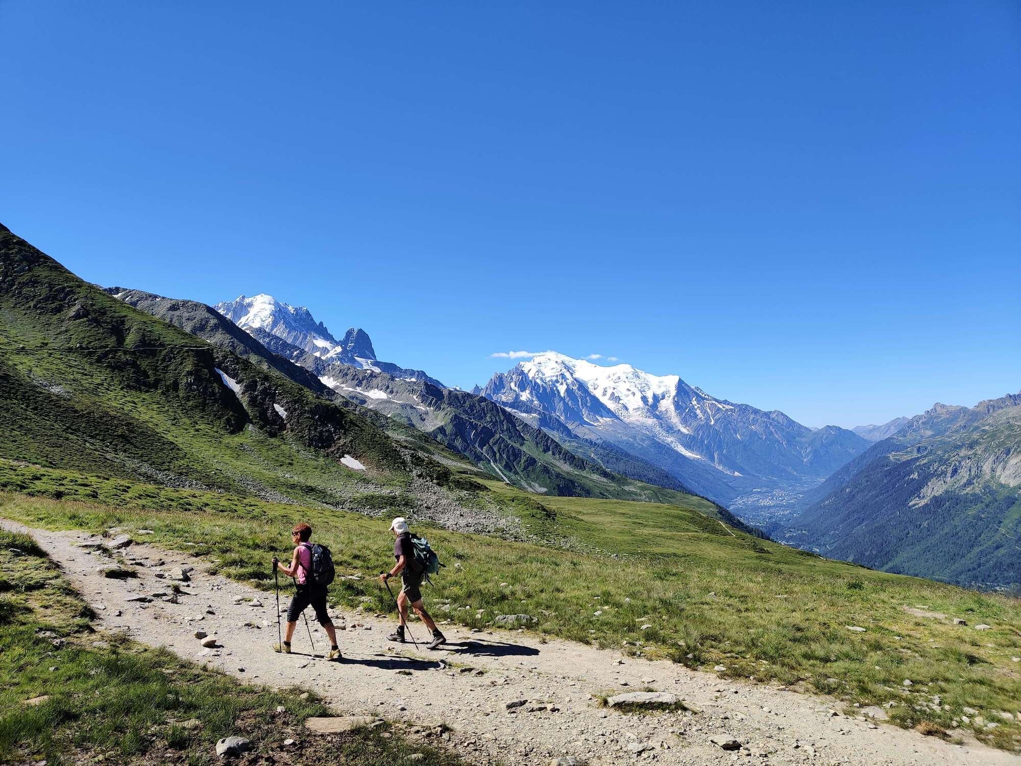
The Walker’s Haute Route is a world-renowned multi-day hiking journey starting in Chamonix, France near the Mont Blanc Massif and finishing in Zermatt, Switzerland where the Matterhorn towers above. It is regarded by many as the most magnificent hut-to-hut hiking trail that the Alps has to offer.
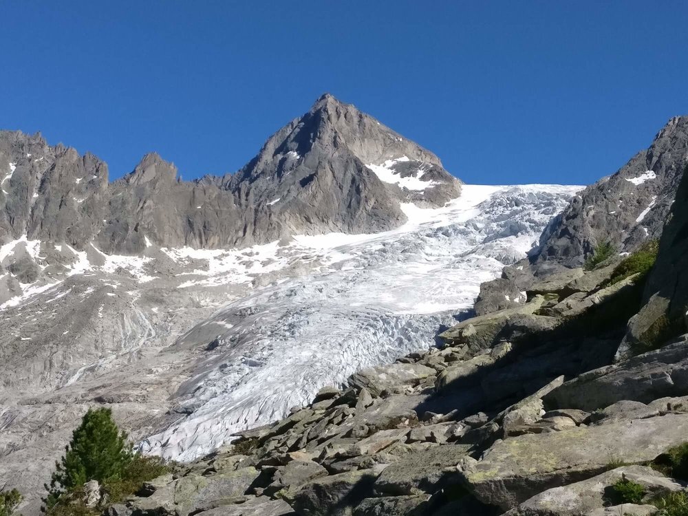
There is no one single trail that leads hikers between the two mountains, rather a trail network offering 10 popular alternate routes with a total distance ranging from 174km (108mi) to 227km (141mi). No matter which path is chosen, hikers are required to climb over 11 mountain passes and accomplish between 21,000m (69,000ft) and 28,000m (93,000ft) of total elevation change (ascent + descent) as they wind their way through some of the most breathtaking scenery the Alps has to offer.

Walker’s Haute Route: High level map from our planning app showing the trail travelling from Chamonix, France to Zermatt, Switzerland. The city of Geneva to the West and Zurich to the North.
OUR SELF-GUIDED HIKING PACKAGES
Everything you need to plan, book, prepare and navigate your Walker’s Haute Route adventure.
Is there only one walker’s haute route?
To answer this question, we need to travel back to the discovery of the trail. The term “Haute Route” is French in origin and translates to ‘High Road’ in English, however, the labelling of this journey actually came from a group of British Alpine Club mountaineer’s, who named it the ‘High Level Route’ after forging a mountaineering route between Chamonix and Zermatt in the 19th century. Once the first skiers successfully completed the journey using a variation of the mountaineer’s route in early 1900’s, the English translation dropped ‘level’ in its name as the Haute Route became predominately known as a classic ski tour. As the trail system developed over the 20th century, an easier way was identified for hikers to make the journey between Chamonix and Zermatt, without needing to climb above 3,000m (9,850ft) or requiring mountaineering equipment. This journey became known as the Walker’s Haute Route.
OTHER EVENTS AND ADVENTURES THAT USE ‘HAUTE ROUTE’ IN THEIR NAME
The ‘ski touring Haute Route’ noted above is still a famous multi-day journey between Chamonix and Zermatt. It does not follow the same path as the summer hiking trail, instead, it takes a much more direct path by crossing glaciers and high altitude mountain ranges connecting the Mont Blanc massif to the Matterhorn. This route is typically completed in March and April when there is more certainty of an adequate snow base and the longer days ensure touring can be completed during daylight. More details on this ski tour can be found here.
The ‘summer glacier Haute Route’ follows a similar path to the ski tour mentioned above. Most of this journey will be spent above 2,800m (9,200ft) so a strong level of fitness is required. Mountaineering experience is also necessary to complete this trip as you need solid knowledge of the Alps, the weather, and especially how to travel safely on glaciers. It is highly recommended that anyone completing this route for the first time engages a certified mountain guide with experience on the Haute Route. Alps Insight has a great summary of their summer glacier Haute Route trip.
The world's most prestigious multi-day amateur road cycling events, renowned for courses that include legendary cols (mountain passes), is also called “Haute Route”. Its name is representative of the type of cycling events it hosts, rather then it being related to a journey between Chamonix and Zermatt. More details on these cycling events can be found here.
Given the popularity and global status of the Haute Route journey from Chamonix to Zermatt, destinations like Norway and Slovenia have decided to market their own version of ‘The Haute Route’, to attract hikers and back-country skiers who are looking for a new challenging high altitude terrain to explore.
Although the Walker’s Haute Route shares part of its name with these other events and adventures, you can rest assured that this epic Alps hike is truly an original that has been in the making for well over 100 years.

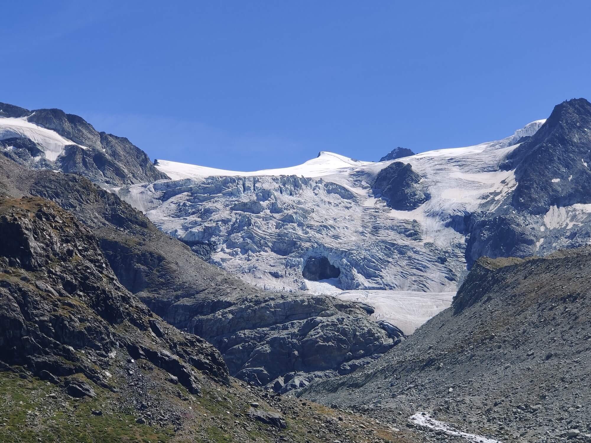
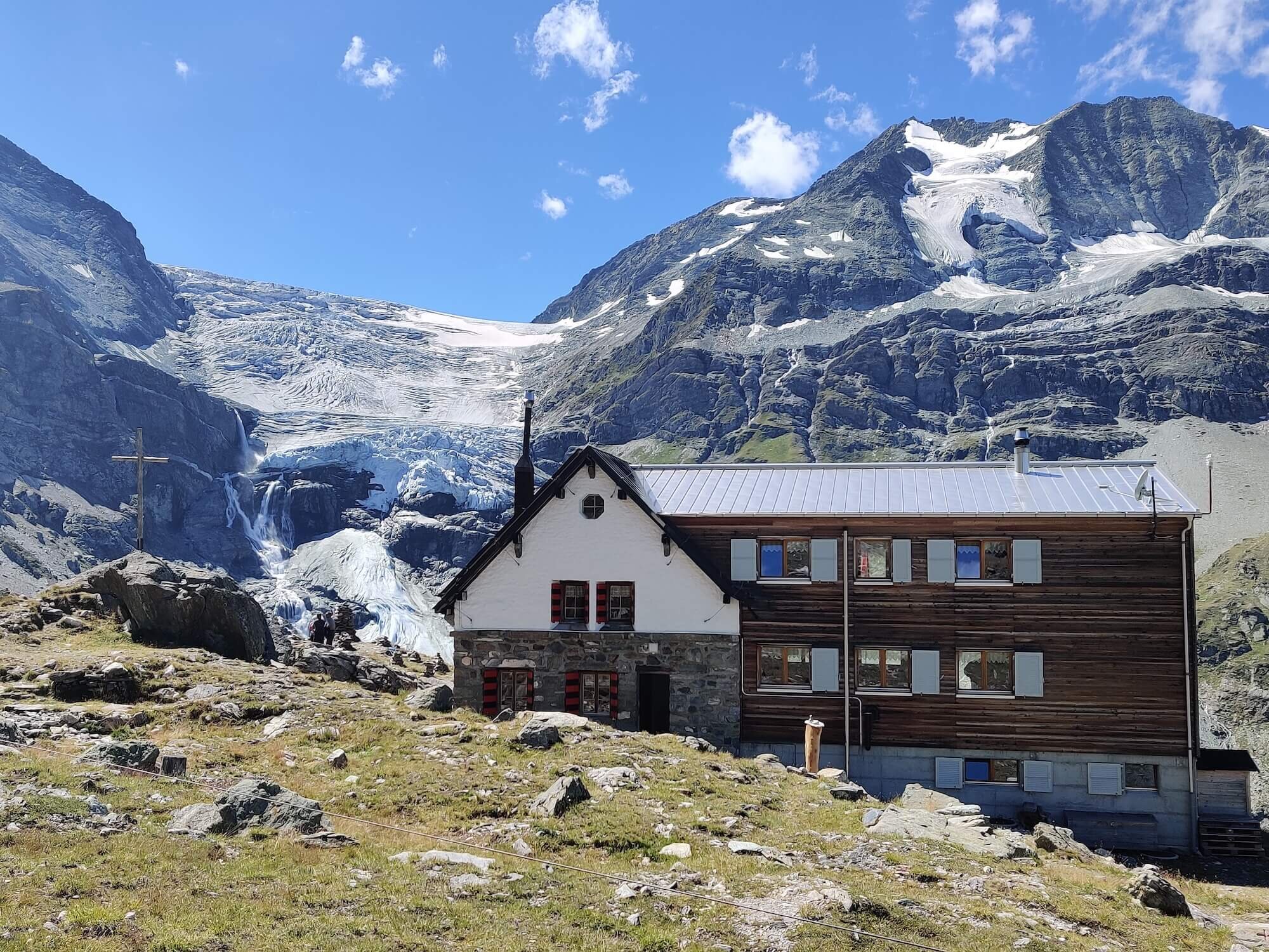
Cabane Des Dix in Summer with the Cheilon glacier flowing into the valley

Cabane Des Dix in Spring for ski touring the “Haute Route”
What is the Distance of the walker’s haute route?
As with all multi-day legendary trails in the Alps there is a “main / classic” route and then many variations, shortcuts and detours for hikers to choose from. The main route is:
Distance: 213km / 132mi
Elevation gain: 14,000 m / 46,000 ft
Highest point: 2,987 m / 9,800 ft
Number of mountain passes: 11
Number of days: 13 (at Steady pace)

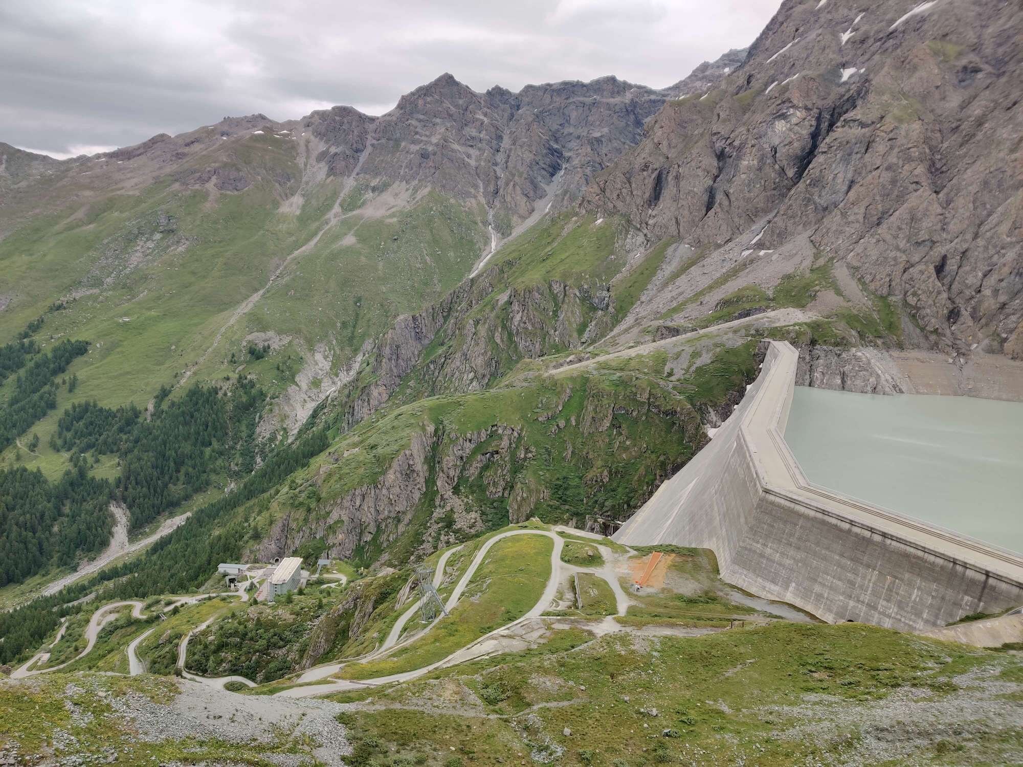
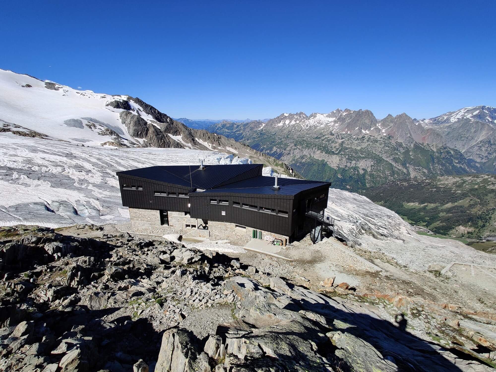
Turtmannhutte is a popular alternative route that brings you up close to its namesake glacier from their sunny patio.
By including alternative routes, it’s possible to shorten the trail by up to 40 km / 24 mi and reduce your elevation gain by 3,000 m / 9,850 ft (2 mountain passes), or, increase it by a further 15km / 9 mi. These differences combined with the different speed and experience of hikers means that it can take anywhere from 6 to 15 days to complete the journey from Chamonix to Zermatt.
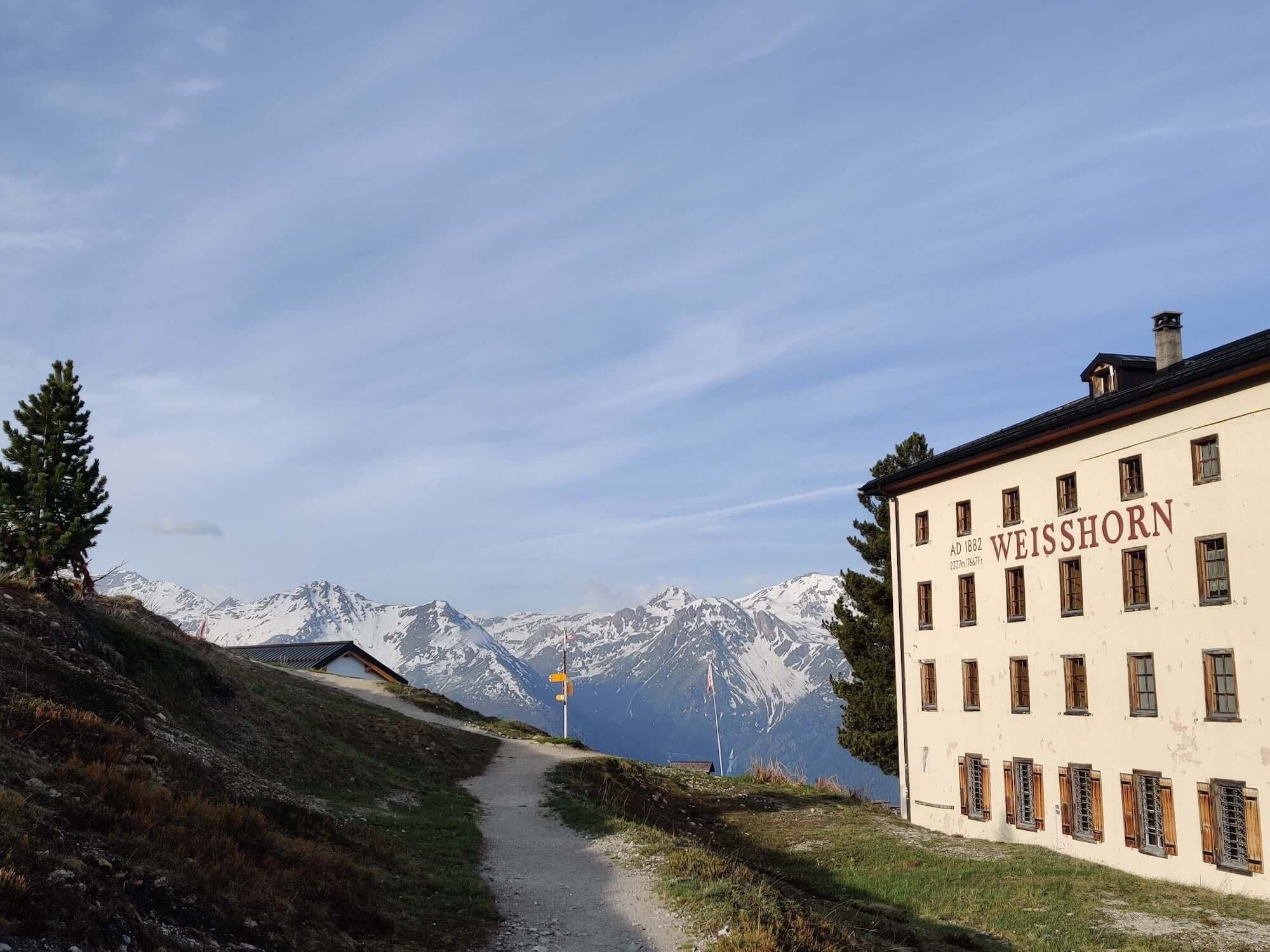
The most popular alternate routes that we also support in our trip planning app, include Aiguillette des Posettes, Glacier du Tour, Les Grands, Col de la Chaux, Col de la Meina, Col de Torrent and Grimentz, Hotel Weisshorn and Meidpass, Turtmannhutte and Mattertal Valley Trail. These alternative routes are to include additional highlights, avoid challenging sections of trail or skip highlights on the main trail by going more direct. The Alp Bovine route, which is an easier alternative to the challenging Fentre d’Arpette section on the main trail, is notably missing from this list because we include it in every map file as part of our bad weather routes feature. For a full summary of the main and alternate routes (including images, trail stats and descriptions), read the detailed blog posts here;
HOW LONG DOES IT TAKE TO HIKE THE walker’s haute route?
It can take between 6 and 15 days to complete the Walker’s Haute Route. It depends on which route you decide to take, your hiking speed, the desired number of hiking hours per day and whether you will use transport. The following can be used as a rough guide:
Elite Hikers: For those that are fastpacking or trail running sections, the Walker’s Haute Route could be completed in 6-8 days. This would require 28km (17mi) per day with total daily elevation change of up to 5,300m (17,300ft).
Speedy Hikers: For those that want to hike between 6-7 hours per day, and can consistently hike at a pace above average, due to their fitness and/or experience, an itinerary between 9-11 days is possible.
Steady Hikers: For those that want to hike between 6-7 hours per day, at an average hiking pace, completing the Haute Route in 11-13 days is possible.
Wanderers: For those that hike at a speed slower than average pace, and like to spend time breaking to enjoy the many vistas and villages along the way, an itinerary of 14-15 days is most suitable.
For a full breakdown on the factors to consider when determining how long it will take you to hike the Walker’s Haute Route, read the detailed blog post.
Trient Glacier: Enjoyed by hikers climbing up to Fentre d’Arpette
Col Torrent: The view of Lac de Moiry from the pass
NEED HELP WITH YOUR TRIP?


Where Does the walker’s haute route start and end?
The “official” start location is Chamonix, France and the end location is Zermatt, Switzerland. Those that have completed the Tour du Mont Blanc (TMB) before sometimes choose to start in Champex-Lac, Switzerland. Although there is no need to repeat the same trails as the TMB between Chamonix and Champex-Lac, it is a good way to ensure this hiking adventure is entirely new. For those short on time or wish to only hike part of the trail, another start location along the trail that hikers use is Arolla. Starting here is roughly halfway and allows the infamous climb to Pas de Chevres to be skipped.
Chamonix, France:
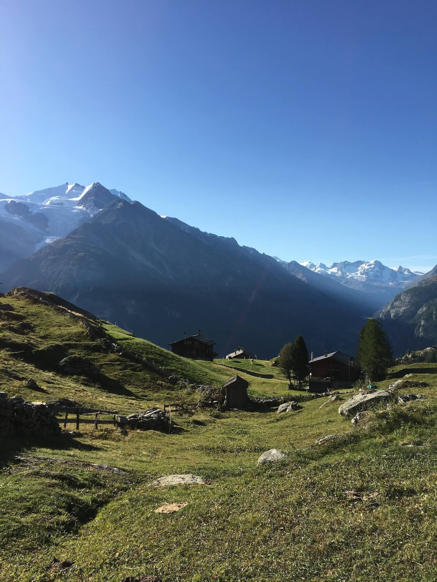
One of Europe’s adventure capitals, offering world-class hiking, biking, climbing and paragliding opportunities in the summertime. With over 9,000 permanent residents, it has everything you need to prepare or resupple for your hike. There are several supermarkets, many outdoor stores and facilities. Many people choose to spend an extra night (or two!) in Chamonix either before their hiking adventure to acclimatise or after to enjoy the ammeneties of the valley - espcially the spas!

Choose Chamonix trailhead as your start/end in our planning app for accurate daily hiking stats and transport options.
Zermatt, Switzerland:
A full service village with restaurants, supermarkets, bars and shops to buy all the Swiss souvenirs your backpack can hold! Located in the valley at the base of the Matterhorn, many people come to Zermatt to admire its iconic pyramidal peak but also explore the surrounding mountain ranges. It cannot be accessed by car (only via foot, train or helicopter), keeping the streets traffic free from public vehicles but still bustling with a fleet of oversized golfcarts. Zermatt is filled with adventure junkies -- hikers, climbers, mountain bikers and even skiers who can access ski runs on the Theodul Glacier year round.

Choose Zermatt as your start/end in our planning app for accurate daily hiking stats.
which direction to Hike the walker’s haute route?
The “classic” hiking direction of the Walker’s Haute Route is West to East (from Chamonix to Zermatt). This allows you to be in the shade for longer when climbing up to the mountain passes. As there are 11 mountain passes, you’ll appreciate the cooler climbs! Our trip planning app allows you to select either direction to plan your trip.
Main Trail Highlights
For a full summary of the main trail (including images, trail description and transport shortcuts), read this blog post.


Alternate Route Options
For a full summary of the alternate routes (including images, trail stats and descriptions), read this blog post.


How does the walker’s haute route compare to other legendary hikes in the area?
The Walker’s Haute Route is one of more challenging legendary hiking trails in the Alps, predominently due to total distance, number of mountain passes and terrain types. See below for a comparison between other popular multi-day hikes in the Alps.
WHAT TYPE OF ACCOMMODATION IS AVAILABLE ON THE WALKER'S HAUTE ROUTE?
Hikers have the opportunity to stay in both alpine villages and mountain huts along the trail. We have created a comprehensive list of all private room, shared room and campsite accommodation on the Walker’s Haute Route, as well as links and information on how to book each one.
For those that haven’t experienced staying in a mountain hut - also known as refuges (German) and cabane (French) - this is your opportunity. Sleeping amongst the mountains, indulging in local cuisine and meeting other hikers is a unique experience not to be missed.
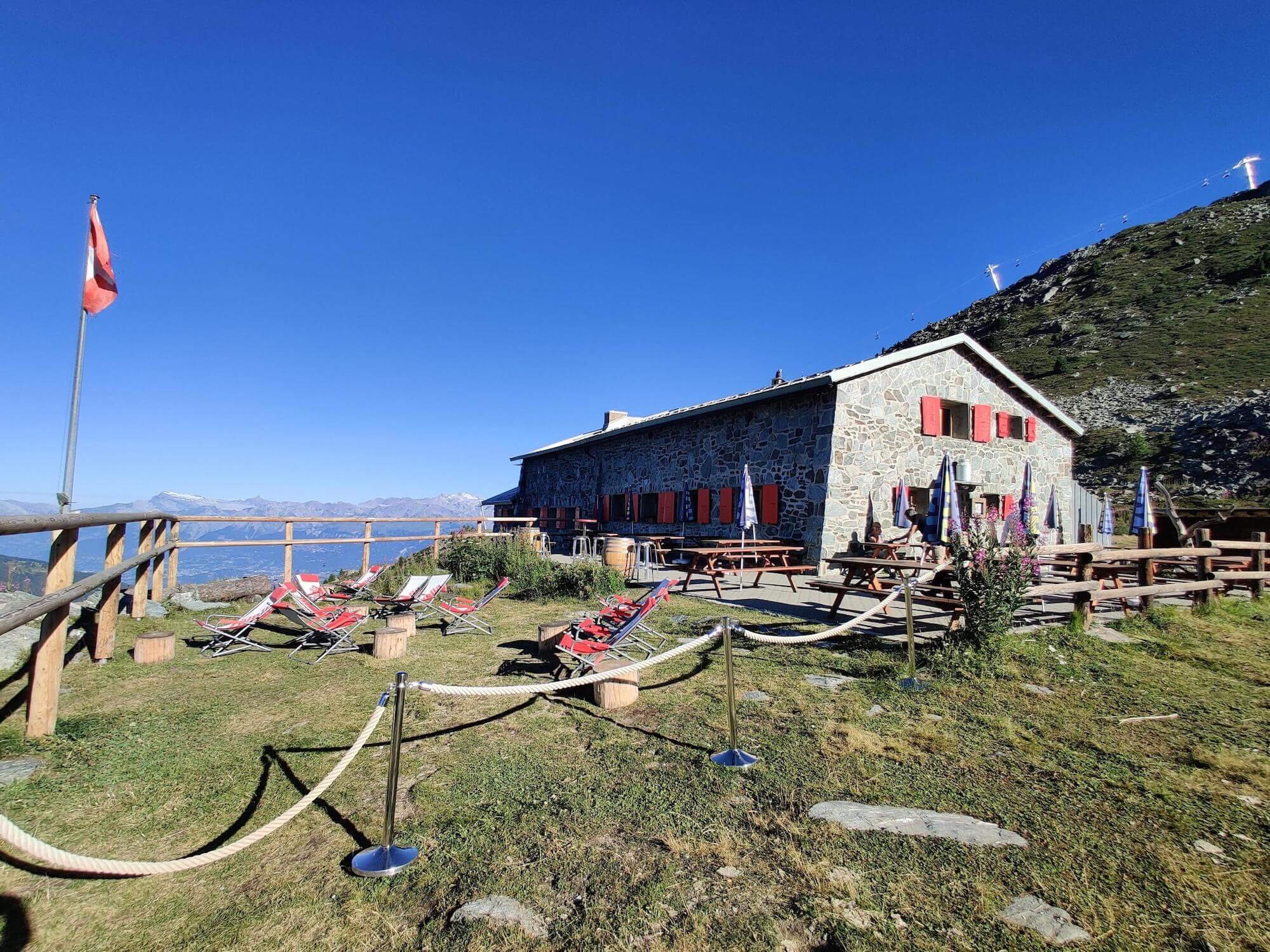
Some of the most popular huts include:
Cabane du Mont Fort: located above Verbier
Cabane de Louvie: located next to an alpine lake
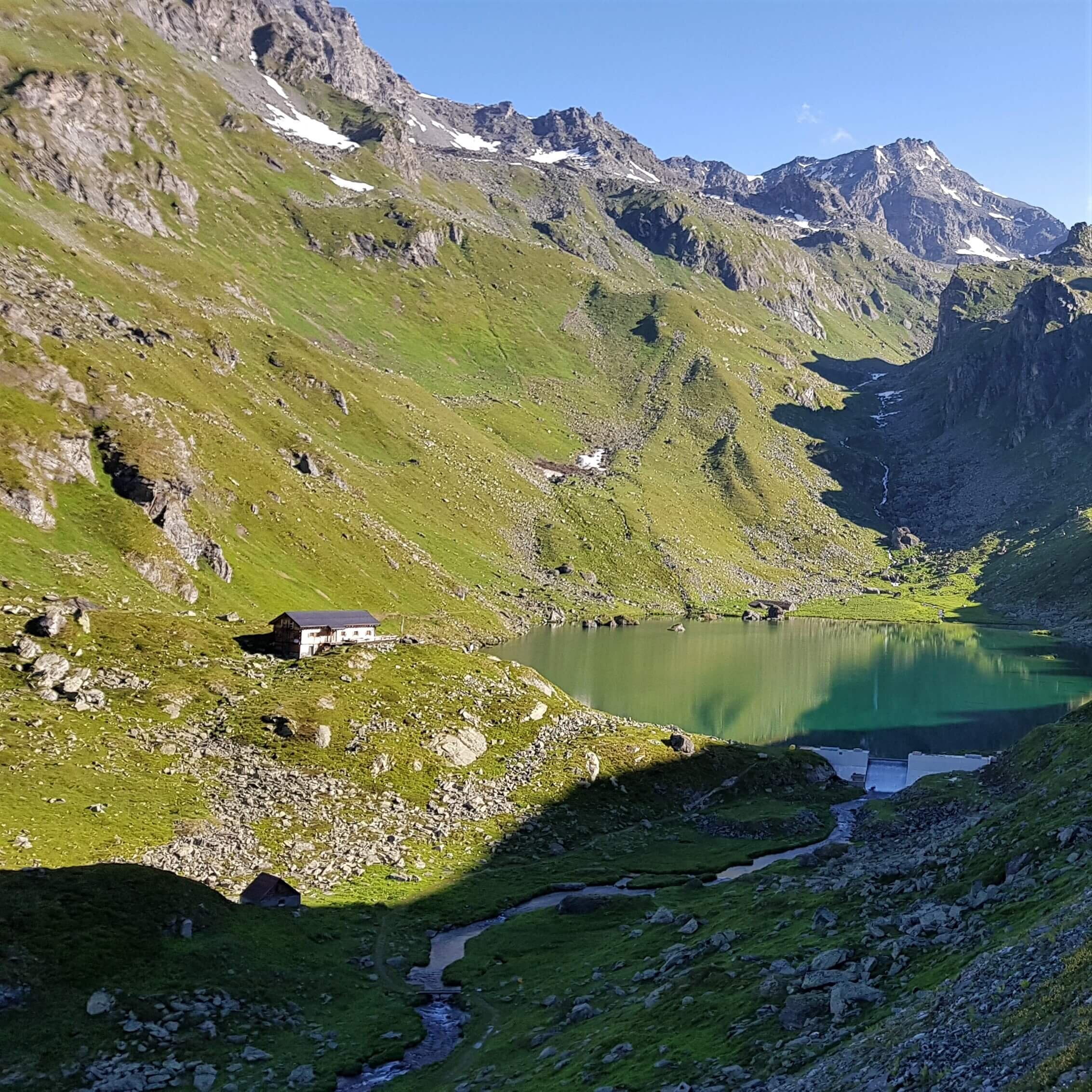
Cabane des Dix: located next to the Cheilon glacier
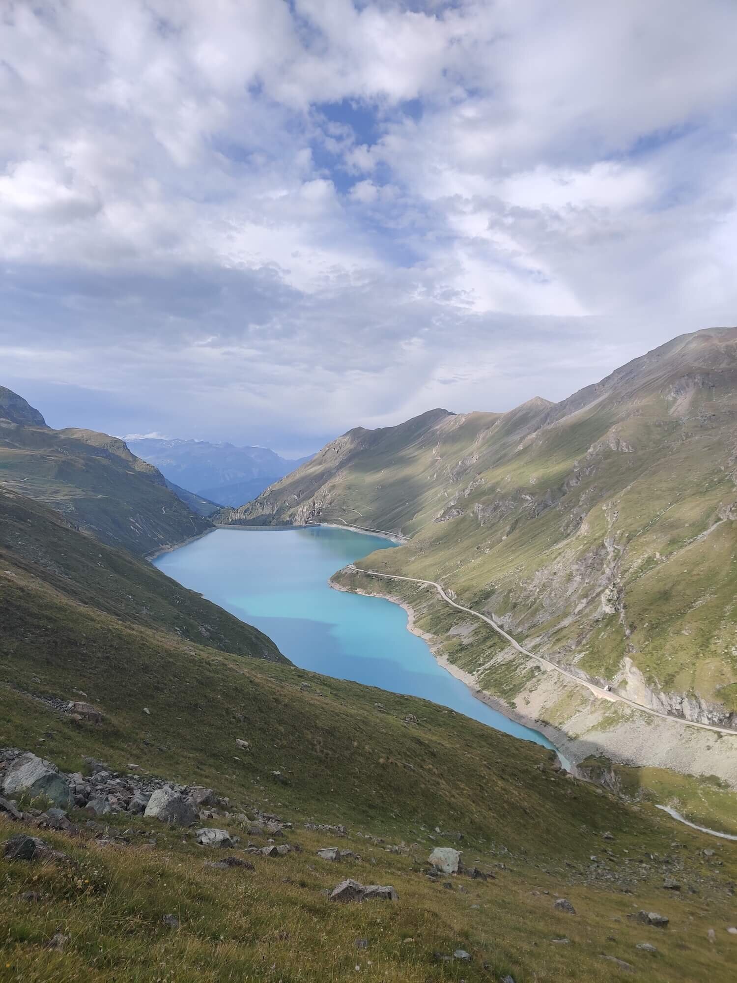
Cabane de Moiry: located next to Moiry glacier
Europahutte: located along the famous Europaweg trail
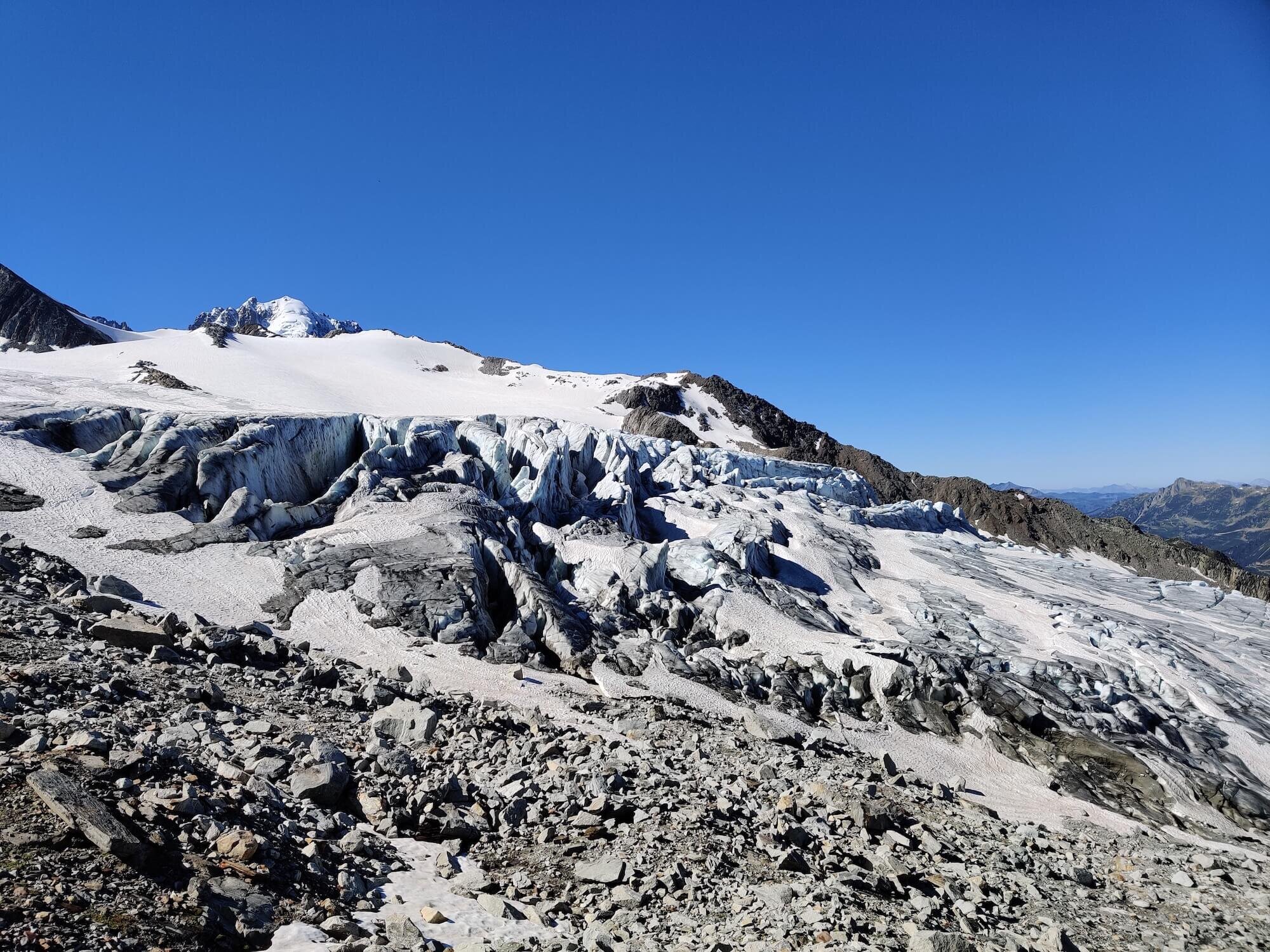
Albert 1er (Premier): located next to Glacier du Tour
Cabane Bella Tola: located in Val d’Anniviers
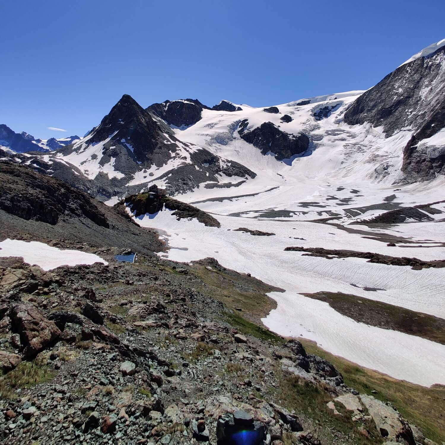
Turtmannhutte: located next to Turtmann glacier
WHEN DOES ACCOMMODATION START TO BOOK UP?
Properties typically start accepting bookings between September and March prior to the hiking season. Some of the popular locations will book up quickly for peak dates (July and August), while others will have availability right through the hiking season. If you’ve started planning your WHR and find that some locations you want are booked for your dates, we can help!
Read our “Booking Tips and Tricks” blog that outlines ways to tweak your current itinerary to find available accommodation.
Watch our “Planning Webinar” that covers all the details to plan your trip including accommodation booking strategies
Need help to find accommodation with availability? Our Expert Access package gives you access to a trail expert who will prepare an itinerary that has accommodation availability for your preferred dates.
Is it possible to CAMP along the Walker’s haute route?
Yes - it is possible to bivouac or stay in campgrounds in villages along the Walker’s Haute Route trail.
There are very strict rules put in place by the national and local governments for those that wish to bivouac. Due to the prevalence of private land (high alpine farms/ski resorts), protected wildlife reserves and inhospitable slopes for sleeping, there are only a handful of locations along the trail that abide by these guidelines and are suitable.
In terms of campgrounds, the type and quality of facilities differ, but in general there are hot showers, kiosk/cafe or restaurant and wifi. The average cost for 1 person in a small tent is 15-25 CHF per night. Unfortunately some villages (and key locations) don’t have campgrounds. However, there are low cost dormitory or hotel room options available for those nights.
Read our detailed blog post on “The Complete Guide to Camping on the Walker’s Haute Route” for a full write up.

Bivouac location above Lac Bleu

Find permitted bivouac locations and campgrounds in our trip planning app for the Walker’s Haute Route
HOW MUCH DOES IT COST TO HIKE THE WALKER’s Haute route?
One of the primary questions first-timers have about hiking in the Alps is how much it will cost. There are so many elements to calculate - accommodation, transportation, food etc - that can make it difficult to determine whether a bucket-list trip to the Alps is possible.
Using actual costs as of January 2024, once you arrive in Geneva Airport, you can hike the Walker’s Haute Route from:
Camping: 700 CHF per person
Solo in Dormitory: 1,250 CHF per person
Double in Private Rooms (where possible): 1,400 CHF per person
This is based on a standard 8 or 10 day route and what you can expect by planning your trip using our self-guided products. It includes transfers to/from the trail, accommodation in huts/hotels and eating delicious 3-course meals of local delights, as you self-guide your way across one of the legendary trails of the world.
For those looking to join a tour group rather than self-guide, the cost is typically upwards of 2,500 EUR per person.
For a full break-down of the cost calculation, see the detailed blog post.
READY TO START PLANNING YOUR OWN walker’s haute route adventure?

Everything you need to plan, book, prepare and navigate your adventure. This package includes;

Access a trail expert to prepare an itinerary that meets your needs. This package includes;
Personalised itinerary designed by our trail expert